2020s Maps of Champaign County, Illinois
Explore 50 historic maps of Champaign County from the 2020s. These maps offer a rare glimpse into what life looked like during the 2020s — showing old roads, neighborhoods, homes, and landmarks that have changed or disappeared over time.
Whether you're researching your family's past, planning a metal detecting trip, or studying how Champaign County's landscape evolved across the 2020s, these high-resolution maps are a powerful tool for exploring the history of this region.
- Focus on a specific era: All maps on this page are from the 2020s, giving you a focused view of this time period.
- See what’s changed: Compare century-old streets, trails, and buildings to today's modern landscape using overlays and satellite layers.
- Research with precision: Use these maps for genealogy, historical research, land use analysis, or educational projects.
- View, download, or print: Maps are fully viewable online in high resolution, and can be downloaded or printed for your own records.
Start exploring Champaign County's history through authentic maps from the 2020s. This is your window into the past.
Champaign County, IL maps
(50)- 2021 Map of Longview, 2021 Print
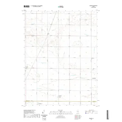 2021 Longview2021 Print · USGSChampaign and Douglas counties are shown here in the 2020s, a landscape defined by traditional farming hamlets and prairie drainage. Genealogists and local historians can locate small settlements like Bongard and Block, or trace family roots at Saint Johns Cem and Lynn Grove Cem.
 - 2021 Map of Ivesdale, 2021 Print
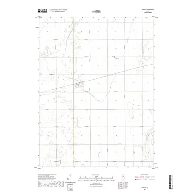 2021 Ivesdale2021 Print · USGSIvesdale and the surrounding prairie lands are captured here at the intersection of Piatt and Champaign counties. Researchers can trace local lineage at Saint Joseph Cem or follow the historic waterways of the Kaskaskia River and Lake Fork.
 - 2021 Map of Villa Grove NW, 2021 Print
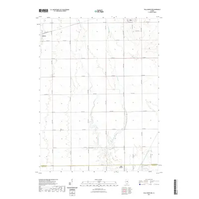 2021 Villa Grove NW2021 Print · USGSThis part of East Central Illinois is shown in the early twenty-first century, featuring the quiet agricultural landscape between the local hubs. Genealogists can locate family sites near Saint Marys Cem or trace the meandering paths of the Embarras River and Black Slough.
 - 2021 Map of Perdueville, 2021 Print
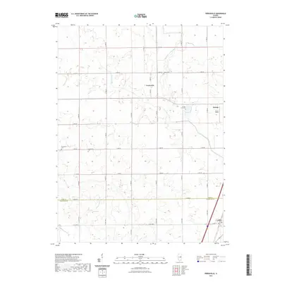 2021 Perdueville2021 Print · USGSFord and Champaign Counties are depicted here in the early twenty-first century, showing the rural prairie landscape surrounding Perdueville. Researchers can trace local heritage through numerous burial sites like Meharry Cem and Ten Mile Grove Cem near Paxton.
 - 2021 Map of Seymour, 2021 Print
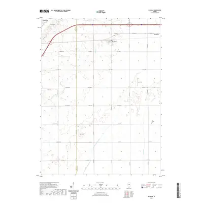 2021 Seymour2021 Print · USGSWestern Champaign County remains a classic Illinois agricultural landscape in this recent survey, centered on the historic rail-and-road villages. Researchers can trace land tracts near Saint Boniface Cem and the natural elevation of Blue Mound.
 - 2021 Map of Flatville, 2021 Print
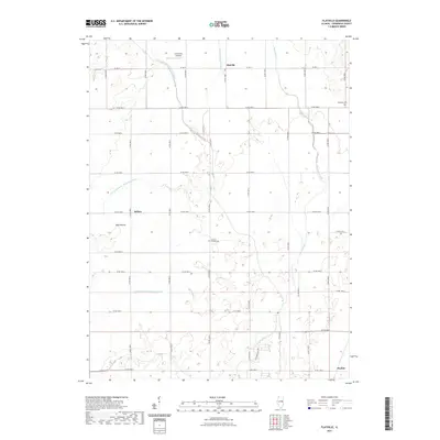 2021 Flatville2021 Print · USGSChampaign County's agricultural heartland is documented here in the early twenty-first century, showing a landscape shaped by drainage and faith. Researchers can locate family heritage at Stanton Friends Cem or trace the routes through Sellers and Flatville.
 - 2021 Map of Rantoul, 2021 Print
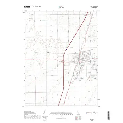 2021 Rantoul2021 Print · USGSChampaign County is seen here during a period of modern growth and agricultural stability. Researchers can trace the legacy of flight at Frank Elliott Field or locate family roots at Eden Cem and Tomlinson.
 - 2021 Map of Saint Joseph, 2021 Print
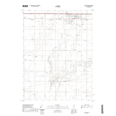 2021 Saint Joseph2021 Print · USGSChampaign County at the turn of the decade displays a mature agricultural landscape shaped by the Salt Fork river. Genealogists and local historians can trace legacy landmarks including Mount Hope Cem, Old Bliss Cem, and the quiet rural crossroads of Glover and Mayview.
 - 2021 Map of Gibson City West, 2021 Print
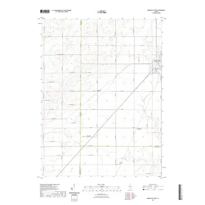 2021 Gibson City West2021 Print · USGSThe western outskirts of Gibson City and surrounding prairie townships are captured here in the early 2020s. Researchers can trace family sites near Drummer Township Cem or follow the path of the Sangamon River through Proctor and Harpster.
 - 2021 Map of Bondville, 2021 Print
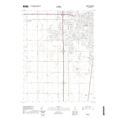 2021 Bondville2021 Print · USGSThe western reaches of Champaign and Savoy are shown here during a period of modern expansion into the surrounding Illinois prairie. Researchers can find detailed suburban street layouts alongside rural landmarks like Prairieview Cem and the University of Illinois-Willard Airport.
 - 2021 Map of Fisher, 2021 Print
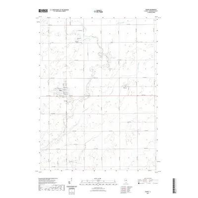 2021 Fisher2021 Print · USGSChampaign County prairie life is centered on the village of Fisher in this contemporary survey. Researchers can trace family history at several local burial sites like Willowbrook Cem and Beekman Cem or follow the drainage patterns of Wildcat Slough.
 - 2021 Map of Thomasboro, 2021 Print
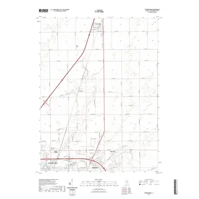 2021 Thomasboro2021 Print · USGSThe northern edges of Champaign-Urbana meet the flat Illinois prairie in the early twenty-first century. Genealogists and historians can locate family landmarks like Saint Elizabeth Cem and Yearsley Cem or trace the early footprints of Leverett and Thomasboro.
 - 2021 Map of Urbana, 2021 Print
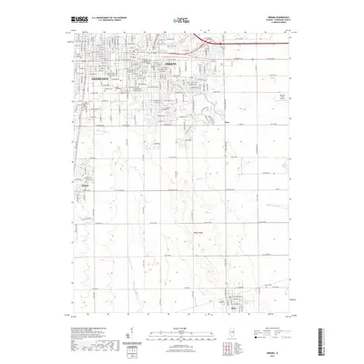 2021 Urbana2021 Print · USGSThe Twin Cities and their surrounding prairie landscapes are captured here in the early 2020s as urban development continues to shape the region. Researchers can trace the sprawling grounds of the University of Illinois or locate historic sites like Harvey Cem and the Champaign County Courthouse.
 - 2021 Map of Mahomet, 2021 Print
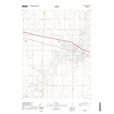 2021 Mahomet2021 Print · USGSMahomet and the Sangamon River valley are captured here in the early twenty-first century, showing the evolved landscape of Champaign and Piatt counties. Genealogists can trace a dense network of family burial sites like Bethel Harris Cem, Mallory Cem, and Boyer Cem.
 - 2021 Map of Rising, 2021 Print
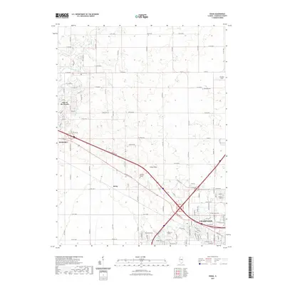 2021 Rising2021 Print · USGSChampaign and Mahomet are captured in the early 2020s as suburban expansion meets the central Illinois prairie. Researchers can trace the development of Lake of the Woods and locate historic burial sites like Jersey Cem and Phillippe Cem.
 - 2021 Map of Gibson City East, 2021 Print
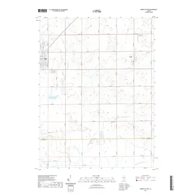 2021 Gibson City East2021 Print · USGSFord County farmland meets the growing eastern edge of Gibson City and the village of Elliott in this recent survey. Genealogists and local historians can locate Oregon Cem, Waggoner Cem, and the headwaters of the Sangamon River.
 - 2021 Map of Gifford, 2021 Print
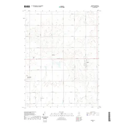 2021 Gifford2021 Print · USGSGifford and the eastern outskirts of Rantoul appear in this contemporary survey of Champaign County's agricultural heartland. Genealogists and local researchers can trace family lands near historic burial sites like Huls Cem and Beckman Cem along the Spoon River.
 - 2021 Map of Foosland, 2021 Print
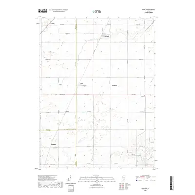 2021 Foosland2021 Print · USGSThis rural portion of Champaign and McLean counties is captured in the early twenty-first century as a landscape of productive grain farms and small crossroads. Researchers can locate family landmarks like Naylor Cem or trace the drainage of Lone Tree Cr and the Sangamon River.
 - 2021 Map of Paxton, 2021 Print
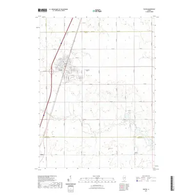 2021 Paxton2021 Print · USGSPaxton and its surrounding prairie townships are documented here during the early twenty-first century as the region maintains its agricultural and civic character. Researchers can pinpoint historic family plots at Trickle Grove Cem or Huffman Cem and trace the paths of N Railroad Ave through the heart of the county seat.
 - 2021 Map of Allerton, 2021 Print
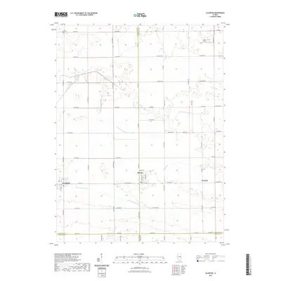 2021 Allerton2021 Print · USGSThe borderlands of Champaign and Vermilion counties come into focus during the early twenty-first century, showing a highly managed agricultural prairie. Researchers can trace rural landmarks like Lost Grove Cem, the small settlement of Hastings, and Trisler Airport.
 - 2021 Map of Rankin, 2021 Print
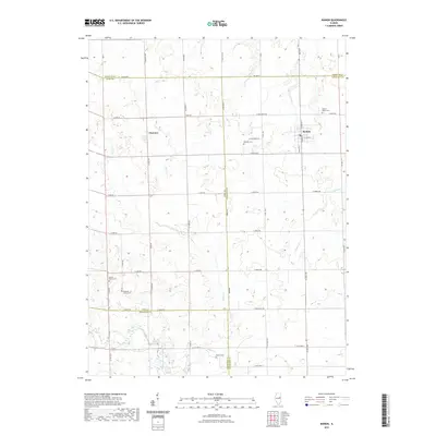 2021 Rankin2021 Print · USGSThe rural landscape around Rankin is shown here in the early 2020s, highlighting a unique crossroads where four Illinois counties meet. Genealogists and historians can trace the locations of family burial sites like Mount Olivet Cem and Pleasant Grove Cem or follow the winding path of the Middle Fork Vermilion River.
 - 2021 Map of Royal, 2021 Print
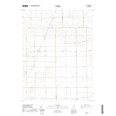 2021 Royal2021 Print · USGSThe Champaign and Vermilion county line near Royal is captured here in the early twenty-first century, showing a landscape defined by small farming hamlets and family cemeteries. Researchers can trace local history through sites like Saint John Lutheran Cem, Stearns Cem, and the communities of Dailey and Hope.
 - 2021 Map of Homer, 2021 Print
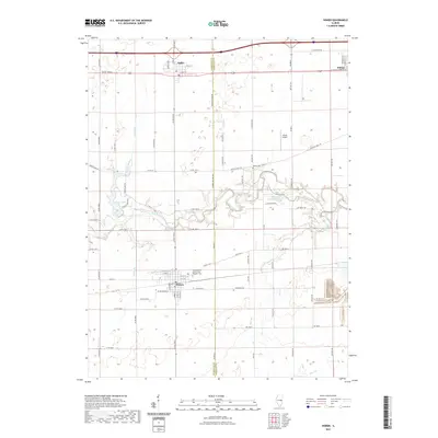 2021 Homer2021 Print · USGSHomer and Ogden anchor this study of the eastern Illinois prairie and the wooded valley of the Salt Fork in 2021. Genealogists can locate family sites at the Homer Grand Army of the Republic Cem or the smaller Bodkin Cem near the river.
 - 2021 Map of Penfield, 2021 Print
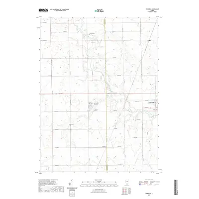 2021 Penfield2021 Print · USGSThe Champaign and Vermilion county line comes alive in the early twenty-first century, showing the enduring agrarian character of East Central Illinois. Researchers can trace local lineage at Chenoweth Cem and Tomlinson Cem or explore the village layouts of Penfield and Armstrong.
 - 2021 Map of Tolono, 2021 Print
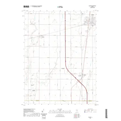 2021 Tolono2021 Print · USGSThe Champaign County prairie south of Champaign-Urbana is showcased here in the early twenty-first century. Researchers can trace family history through numerous burial sites like Bailey Memorial Cem and Sadorus Cem or locate small settlements like Jimtown.
Showing maps 1-25 of 50
Top cities of Champaign County
- Champaign historical maps
- Urbana historical maps
- Rantoul historical maps
- Mahomet historical maps
- Savoy historical maps
- Tolono historical maps
See more
Frequently asked questions
- What are the different types of historical maps available for Champaign County?
- What is the oldest map of Champaign County?
- Where can I purchase historical maps of Champaign County for my home or office?
- Where can I download high-res historical maps of Champaign County?
- Are there historical topographic maps available for Champaign County?
- Is there historical aerial imagery available for Champaign County?
- Where are historical maps of Champaign County sourced from?