2020s Maps of Clinton County, Illinois
Explore 28 historic maps of Clinton County from the 2020s. These maps offer a rare glimpse into what life looked like during the 2020s — showing old roads, neighborhoods, homes, and landmarks that have changed or disappeared over time.
Whether you're researching your family's past, planning a metal detecting trip, or studying how Clinton County's landscape evolved across the 2020s, these high-resolution maps are a powerful tool for exploring the history of this region.
- Focus on a specific era: All maps on this page are from the 2020s, giving you a focused view of this time period.
- See what’s changed: Compare century-old streets, trails, and buildings to today's modern landscape using overlays and satellite layers.
- Research with precision: Use these maps for genealogy, historical research, land use analysis, or educational projects.
- View, download, or print: Maps are fully viewable online in high resolution, and can be downloaded or printed for your own records.
Start exploring Clinton County's history through authentic maps from the 2020s. This is your window into the past.
Clinton County, IL maps
(28)- 2021 Map of Okawville, 2021 Print
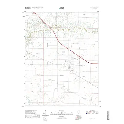 2021 Okawville2021 Print · USGSOkawville and the surrounding farmsteads are documented here in recent years as the community maintains its traditional layout amidst the Kaskaskia River bottomlands. Genealogists can locate several local burial grounds including Staude Cem, Toensing Cem, and Zetsche Cem.
 - 2021 Map of Boulder, 2021 Print
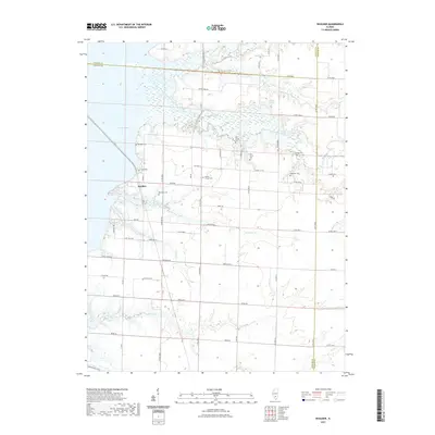 2021 Boulder2021 Print · USGSClinton County's eastern lakefront and rural hinterlands are captured here in the early twenty-first century. Genealogists can trace family heritage through a dense concentration of local burial grounds including Old Carter Cem, Pritchett Cem, and Ebenezer Cem.
 - 2021 Map of Saint Rose, 2021 Print
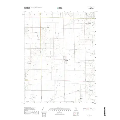 2021 Saint Rose2021 Print · USGSClinton and Madison Counties are shown here during the early twenty-first century as agricultural traditions remain central to the landscape. Researchers can locate several rural burial grounds like Gullick Cem and trace the paths of Spanker Br and Lake Br.
 - 2021 Map of Beckemeyer, 2021 Print
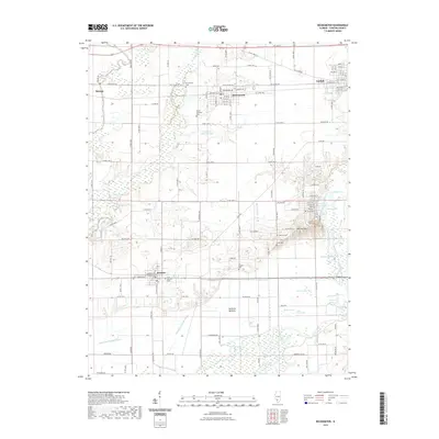 2021 Beckemeyer2021 Print · USGSClinton County’s river lowlands and prairie settlements are captured here in the early twenty-first century. Genealogists can trace family landmarks and burial sites from Becke-meyer Cem down to the Santa Fe Bottoms, including Locey Cem and Sharp Cem.
 - 2021 Map of Stolletown, 2021 Print
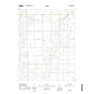 2021 Stolletown2021 Print · USGSClinton County and the area surrounding Stolletown are mapped in great detail during the early 2020s, showing a landscape defined by farming and winding creek beds. Researchers can locate several historic burial sites like Saint Felicitas Cem, Yingst Cem, and Shoal Creek Cem.
 - 2021 Map of Trenton, 2021 Print
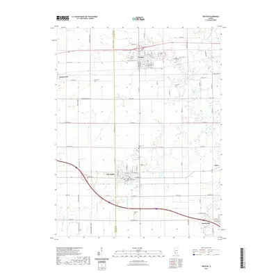 2021 Trenton2021 Print · USGSThe border of St. Clair and Clinton counties comes into focus in this recent survey of southwest Illinois. Local historians can trace family roots through numerous burial sites like Saint Damians Cem, Green Mount Cem, and the New Baden Village Cem.
 - 2021 Map of Carlyle, 2021 Print
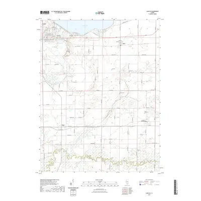 2021 Carlyle2021 Print · USGSClinton County’s landscape near the Kaskaskia River is captured here in the early twenty-first century, showing the massive impact of the Carlyle Lake reservoir. Genealogists can trace family roots through numerous rural burial sites like Matsler Cem, Collins Cem, and Posey Cem.
 - 2021 Map of Addieville, 2021 Print
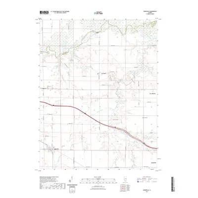 2021 Addieville2021 Print · USGSSouthern Illinois prairie and bottomlands meet at the turn of the decade near Addieville and New Minden. Local researchers can trace family sites at Olive Branch Cem, Lively Cem, and Old Zion Cem or follow the waters of the Kaskaskia River.
 - 2021 Map of Keyesport, 2021 Print
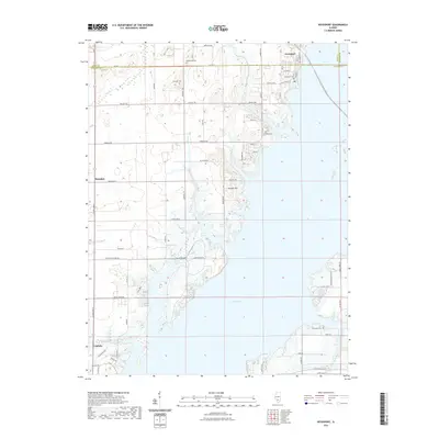 2021 Keyesport2021 Print · USGSKeyesport and the northern reaches of Carlyle Lake appear in detail on this modern survey of the Clinton and Bond county border. Researchers can locate family landmarks like McKendree Cem, Elmwood Cem, and the small settlement of Marydale.
 - 2021 Map of Venedy, 2021 Print
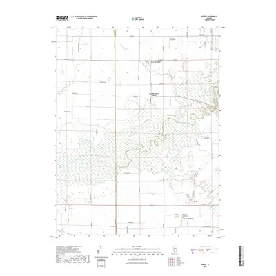 2021 Venedy2021 Print · USGSSouthern Illinois at the turn of the decade is defined by the winding Kaskaskia River and its dense network of backwater lakes and creeks. Genealogists and local historians can trace family sites at Venedy and Johannisburg, or locate the Miller Cem and Saint Salvator Cem.
 - 2021 Map of Breese, 2021 Print
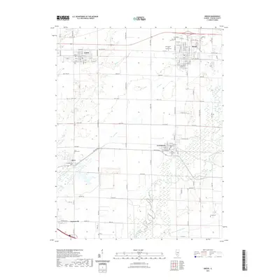 2021 Breese2021 Print · USGSClinton County is shown in detail during the early twenty-first century, featuring the established town centers of Breese and Germantown. Genealogists can trace local history through Saint Francis Cem, Saint John Cem, and the prominent Boot Hill landmark.
 - 2021 Map of Highland, 2021 Print
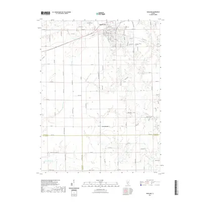 2021 Highland2021 Print · USGSThe community of Highland and its surrounding countryside are documented here as they appeared in the early 2020s. Genealogists and local historians can locate specific family burial grounds like the Rietmann Family Cem or trace the winding course of Buckeye Br and Sugar Cr.
 - 2021 Map of Hoyleton, 2021 Print
 2021 Hoyleton2021 Print · USGSNashville and the rural townships of Washington County appear here in their modern agricultural layout. Genealogists and local historians can trace the persistent locations of country churches and cemeteries, from Saint Johns Cem near New Minden to Trinity Cem in Hoyleton.
 - 2021 Map of Centralia West, 2021 Print
 2021 Centralia West2021 Print · USGSCentralia and its neighbors in Clinton and Marion counties are captured here in the early twenty-first century. Genealogists can trace family footprints through numerous small burial sites like Garrison Graveyard, Petrea Cem, and the Bethlehem Lutheran Cem.
 - 2024 Map of Boulder, 2024 Print
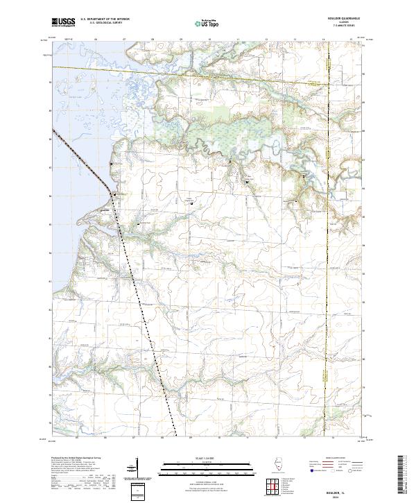 2024 Boulder2024 Print · USGSThis Clinton County landscape at the edge of Carlyle Lake shows a community defined by its proximity to the Kaskaskia River and several creek systems. Researchers can trace family history through numerous burial sites like Old Carter Cem, Prichett Cem, and Ebenezer Cem.
 - 2024 Map of Centralia West, 2024 Print
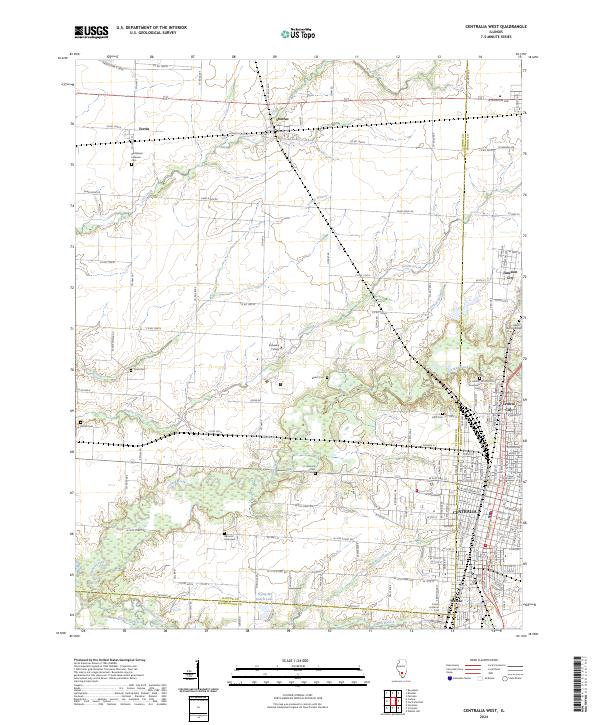 2024 Centralia West2024 Print · USGSClinton County and the outskirts of Centralia appear in the early 2020s, showing a landscape of fertile prairie branches and growing residential blocks. Genealogists can locate family landmarks like Garrison Graveyard, Petrea Cem, and the campus of Kaskaskia College.
 - 2024 Map of Stolletown, 2024 Print
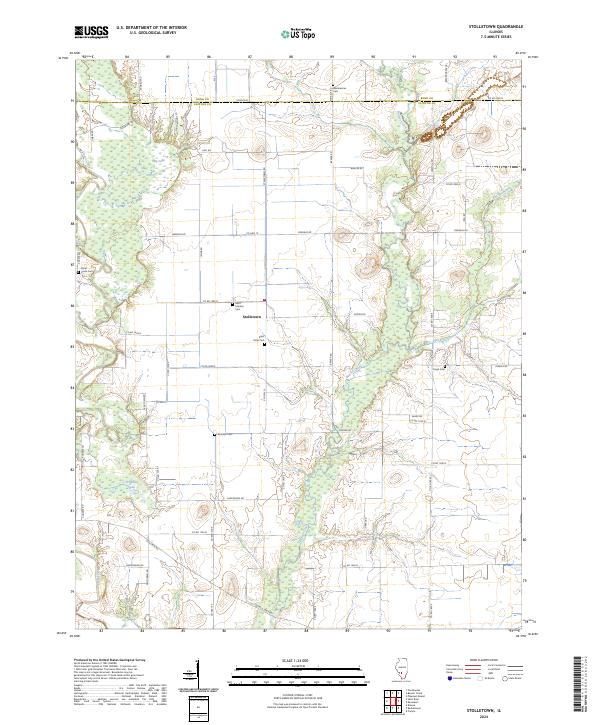 2024 Stolletown2024 Print · USGSClinton County and the Bond County line are captured in this recent survey of the Stolletown area. Researchers can trace local lineage through numerous historic burial sites, including Saint Felicitas Cem, Yingst Cem, and Rudolph Cem near Frogtown Lake.
 - 2024 Map of Carlyle, 2024 Print
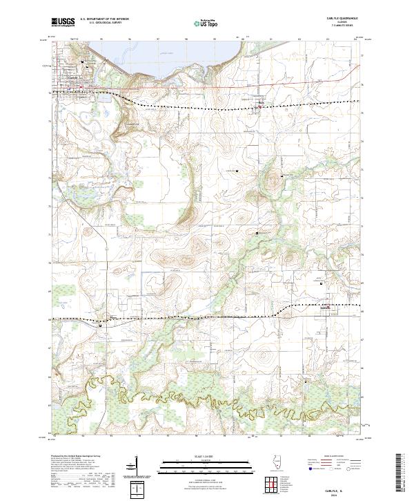 2024 Carlyle2024 Print · USGSCarlyle and the rural crossroads of Clinton County are captured here in the modern era as the Kaskaskia River flows south from the dam. Genealogists can trace family footprints through numerous local sites including Saint Marys Cem, Wadsworth Cem, and the village of Huey.
 - 2024 Map of Addieville, 2024 Print
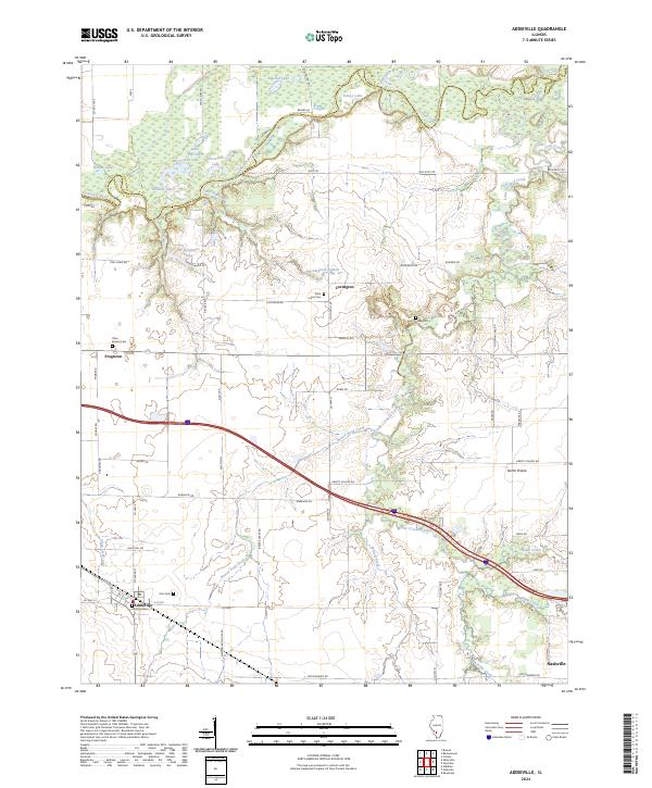 2024 Addieville2024 Print · USGSWashington County, Illinois, remains a rural landscape of floodplain lakes and small crossroads settlements in the twenty-first century. Genealogists and local researchers can trace family landmarks like Lively Cem, Saint Lukes Cem, and the historic streets of Addieville.
 - 2024 Map of Breese, 2024 Print
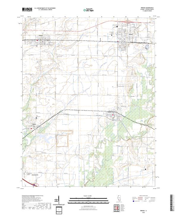 2024 Breese2024 Print · USGSThis Clinton County landscape centers on the growing communities of Breese and Aviston during the early 2020s. Researchers can trace local heritage through numerous sites like Saint Francis Cem, Ammons Cem, and the prominent Boot Hill.
 - 2024 Map of Trenton, 2024 Print
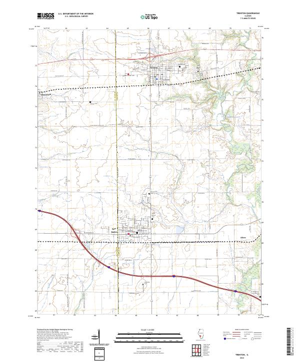 2024 Trenton2024 Print · USGSClinton County near the St. Clair line is shown here in its modern agricultural and residential maturity. Genealogists can locate family sites at Saint Marys Cem and Wittmer Cem or trace the waters of Sugar Creek and Rayhill Slough.
 - 2024 Map of Highland, 2024 Print
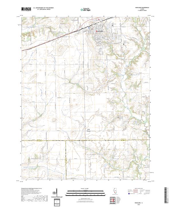 2024 Highland2024 Print · USGSThe city of Highland and its surrounding tri-county borders are captured here in the modern era. Genealogists and local historians can trace family locations through sites like Saint Joseph Cem and the Sugar Creek Presbyterian Cem.
 - 2024 Map of Keyesport, 2024 Print
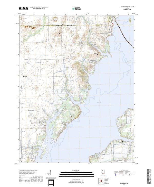 2024 Keyesport2024 Print · USGSThe village of Keyesport and the expansive waters of Carlyle Lake dominate this contemporary look at the Illinois prairie. Researchers can trace family history through numerous local sites including McKendree Cem, Elmwood Cem, and the small settlement of Marydale.
 - 2024 Map of Saint Rose, 2024 Print
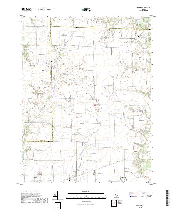 2024 Saint Rose2024 Print · USGSClinton and Bond counties are shown here in the 2020s, centered on the rural crossroads of St. Rose and Jamestown. Researchers can trace local lineage through sites like Saint Rose Cem and Gullick Cem, or follow the winding course of Shoal Creek.
 - 2024 Map of Venedy, 2024 Print
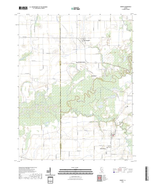 2024 Venedy2024 Print · USGSSouthwestern Illinois river country is documented here in recent years, showing the intricate wetlands surrounding the Kaskaskia River. Genealogists and local historians can locate several family and church burial sites including Miller Cem and Saint Salvator Cem.
Showing maps 1-25 of 28
Top cities of Clinton County
- Breese historical maps
- Carlyle historical maps
- Trenton historical maps
- Aviston historical maps
- Germantown historical maps
- Beckemeyer historical maps
See more
Frequently asked questions
- What are the different types of historical maps available for Clinton County?
- What is the oldest map of Clinton County?
- Where can I purchase historical maps of Clinton County for my home or office?
- Where can I download high-res historical maps of Clinton County?
- Are there historical topographic maps available for Clinton County?
- Is there historical aerial imagery available for Clinton County?
- Where are historical maps of Clinton County sourced from?