2020s Maps of Hancock County, Illinois
Explore 47 historic maps of Hancock County from the 2020s. These maps offer a rare glimpse into what life looked like during the 2020s — showing old roads, neighborhoods, homes, and landmarks that have changed or disappeared over time.
Whether you're researching your family's past, planning a metal detecting trip, or studying how Hancock County's landscape evolved across the 2020s, these high-resolution maps are a powerful tool for exploring the history of this region.
- Focus on a specific era: All maps on this page are from the 2020s, giving you a focused view of this time period.
- See what’s changed: Compare century-old streets, trails, and buildings to today's modern landscape using overlays and satellite layers.
- Research with precision: Use these maps for genealogy, historical research, land use analysis, or educational projects.
- View, download, or print: Maps are fully viewable online in high resolution, and can be downloaded or printed for your own records.
Start exploring Hancock County's history through authentic maps from the 2020s. This is your window into the past.
Hancock County, IL maps
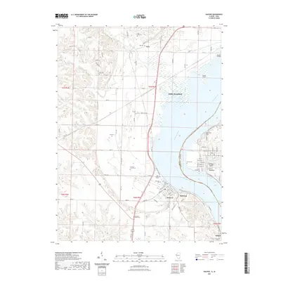
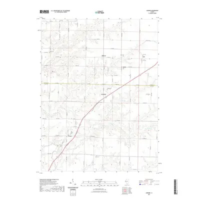
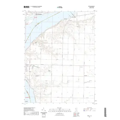
(47)- 2021 Map of Colusa, 2021 Print
 2021 Colusa2021 Print · USGSCovers Hancock County, including Dallas City, Pontoosuc, and other nearby areas
 - 2021 Map of Dallas City, 2021 Print
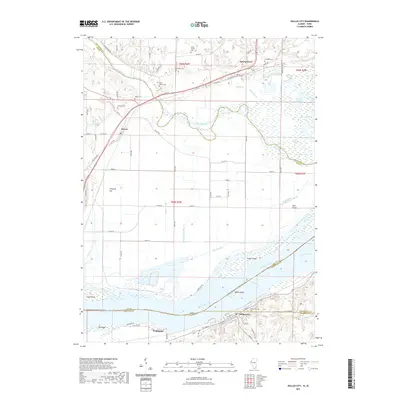 2021 Dallas City2021 Print · USGSCovers Hancock County, including Dallas City, Pontoosuc, and other nearby areas
 - 2021 Map of Nauvoo, 2021 Print
 2021 Nauvoo2021 Print · USGSCovers Hancock County, including Fort Madison, Nauvoo, and other nearby areas
 - 2021 Map of Plymouth, 2021 Print
 2021 Plymouth2021 Print · USGSCovers Hancock County, including Saint Mary, Plymouth, and other nearby areas
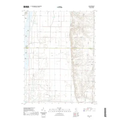
 - 2021 Map of La Harpe, 2021 Print
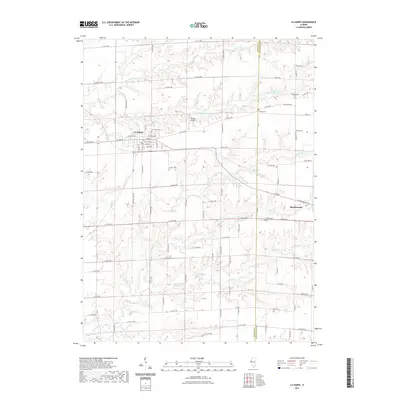 2021 La Harpe2021 Print · USGSCovers Hancock County, including La Harpe, Blandinsville, and other nearby areas
 - 2021 Map of Sutter, 2021 Print
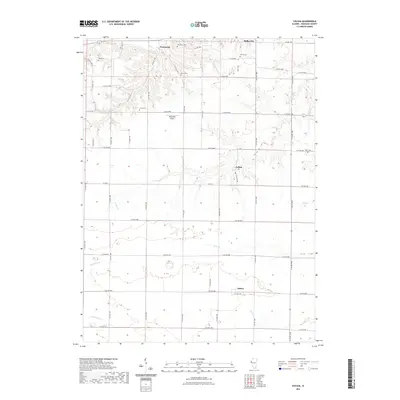
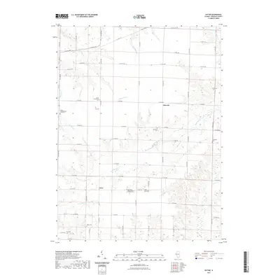 2021 Sutter2021 Print · USGSCovers Hancock County, including Sutter, Elderville, and other nearby areas
 - 2021 Map of Tioga, 2021 Print
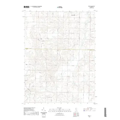 2021 Tioga2021 Print · USGSCovers Hancock County, including Lima, Tioga, and other nearby areas
 - 2021 Map of West Point, 2021 Print
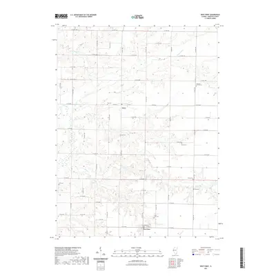 2021 West Point2021 Print · USGSCovers Hancock County, including West Point, Basco, and other nearby areas
 - 2021 Map of Loraine, 2021 Print
 2021 Loraine2021 Print · USGSCovers Hancock County, including Chili, Loraine, and other nearby areas
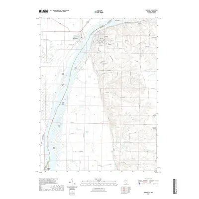
 - 2021 Map of Hamilton, 2021 Print
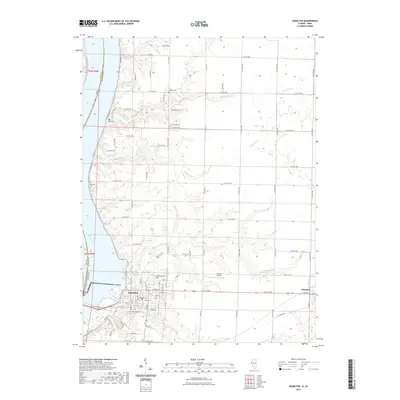 2021 Hamilton2021 Print · USGSCovers Hancock County, including Keokuk, Hamilton, and other nearby areas
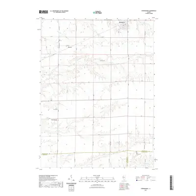
 - 2021 Map of Burnside, 2021 Print
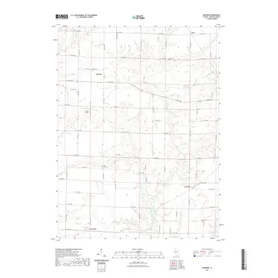 2021 Burnside2021 Print · USGSCovers Hancock County, including Durham, Disco, and other nearby areas
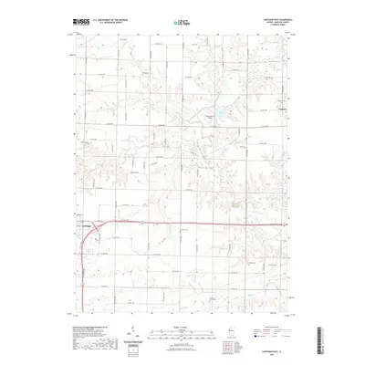
 - 2021 Map of Carthage West, 2021 Print
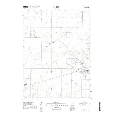 2021 Carthage West2021 Print · USGSCovers Hancock County, including Carthage, Ferris, and other nearby areas
 - 2021 Map of Warsaw, 2021 Print
 2021 Warsaw2021 Print · USGSCovers Hancock County, including Warsaw, Alexandria, and other nearby areas
 - 2021 Map of Lima, 2021 Print
 2021 Lima2021 Print · USGSCovers Hancock County, including Lima, Adams County, and other nearby areas
 - 2021 Map of Lomax, 2021 Print
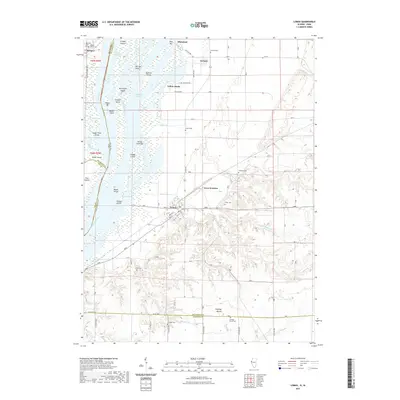 2021 Lomax2021 Print · USGSCovers Hancock County, including Lomax, Carman, and other nearby areas
 - 2021 Map of Bentley, 2021 Print
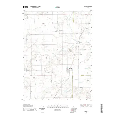
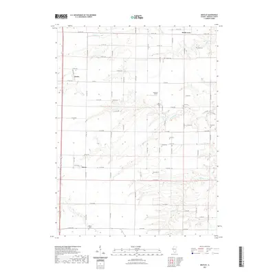 2021 Bentley2021 Print · USGSCovers Hancock County, including Bentley, Middle Creek, and other nearby areas
 - 2021 Map of Carthage East, 2021 Print
 2021 Carthage East2021 Print · USGSCovers Hancock County, including Carthage, Webster, and other nearby areas
 - 2021 Map of Augusta, 2021 Print
 2021 Augusta2021 Print · USGSCovers Hancock County, including Augusta, La Prairie, and other nearby areas
 - 2021 Map of Stronghurst, 2021 Print
 2021 Stronghurst2021 Print · USGSCovers Hancock County, including Stronghurst, Terre Haute, and other nearby areas
 - 2021 Map of Fountain Green, 2021 Print
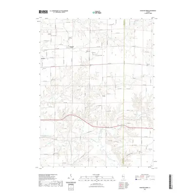 2021 Fountain Green2021 Print · USGSCovers Hancock County, including Fountain Green, Joetta, and other nearby areas
 - 2021 Map of Niota, 2021 Print
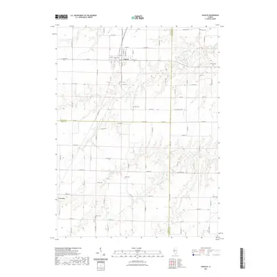
 2021 Niota2021 Print · USGSCovers Hancock County, including Fort Madison, Nauvoo, and other nearby areas
 - 2021 Map of Bowen, 2021 Print
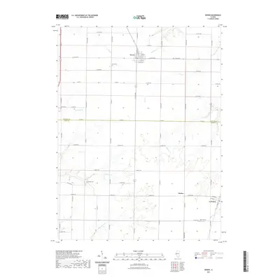 2021 Bowen2021 Print · USGSCovers Hancock County, including Bowen, La Prairie, and other nearby areas
 - 2021 Map of Canton, 2021 Print
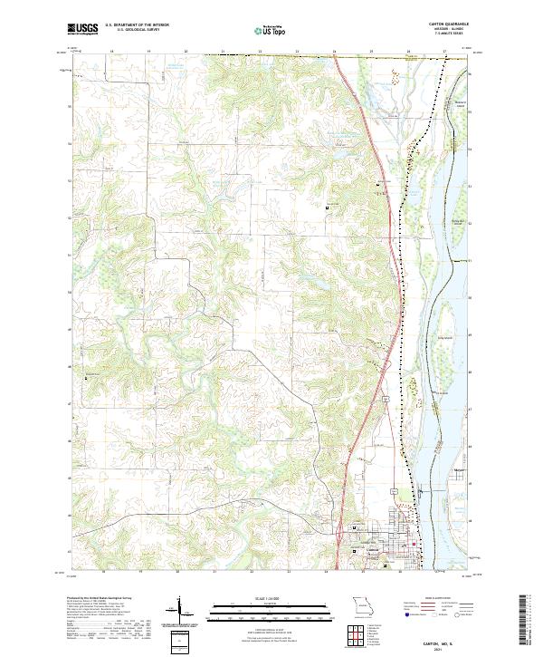 2021 Canton2021 Print · USGSThe riverfront town of Canton and its Illinois neighbor Meyer are shown here as they appeared in the early 2020s. Researchers can locate longstanding landmarks like Culver Stockton College and family burial sites at Gregory Cem or Hardin Cem.
 - 2022 Map of Fort Madison, 2022 Print
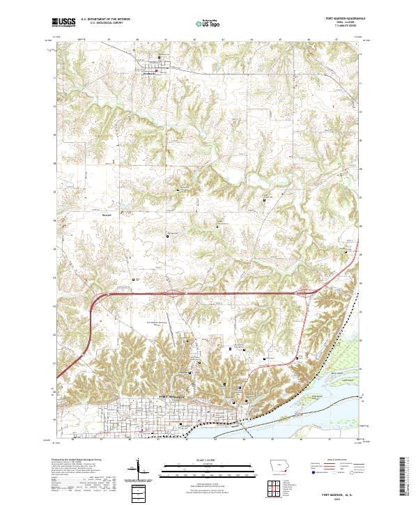 2022 Fort Madison2022 Print · USGSFort Madison and the Mississippi River bend are captured here in the early twenty-first century as the city's modern footprint meets its deep history. Researchers can trace land use near the Iowa State Penitentiary or locate family plots in Denmark Cemetery and Elmwood Cemetery.
 - 2022 Map of Keokuk, 2022 Print
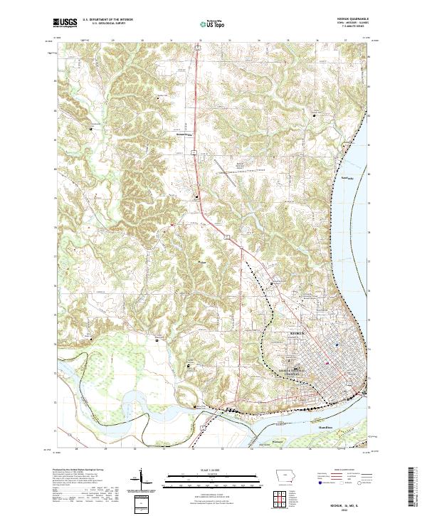 2022 Keokuk2022 Print · USGSThe confluence of the great rivers at the Iowa, Missouri, and Illinois borders comes into sharp focus during this era of modern development. Genealogists and local historians can trace family roots through numerous burial sites like Oakland Cem and the Scandinavian Cem.
Showing maps 1-25 of 47
Top cities of Hancock County
- Hamilton historical maps
- Carthage historical maps
- Warsaw historical maps
- La Harpe historical maps
- Nauvoo historical maps
- Chili historical maps
See more
Frequently asked questions
- What are the different types of historical maps available for Hancock County?
- What is the oldest map of Hancock County?
- Where can I purchase historical maps of Hancock County for my home or office?
- Where can I download high-res historical maps of Hancock County?
- Are there historical topographic maps available for Hancock County?
- Is there historical aerial imagery available for Hancock County?
- Where are historical maps of Hancock County sourced from?