2010s Maps of Hancock County, Illinois
Explore 81 historic maps of Hancock County from the 2010s. These maps offer a rare glimpse into what life looked like during the 2010s — showing old roads, neighborhoods, homes, and landmarks that have changed or disappeared over time.
Whether you're researching your family's past, planning a metal detecting trip, or studying how Hancock County's landscape evolved across the 2010s, these high-resolution maps are a powerful tool for exploring the history of this region.
- Focus on a specific era: All maps on this page are from the 2010s, giving you a focused view of this time period.
- See what’s changed: Compare century-old streets, trails, and buildings to today's modern landscape using overlays and satellite layers.
- Research with precision: Use these maps for genealogy, historical research, land use analysis, or educational projects.
- View, download, or print: Maps are fully viewable online in high resolution, and can be downloaded or printed for your own records.
Start exploring Hancock County's history through authentic maps from the 2010s. This is your window into the past.
Hancock County, IL maps
(81)- 2010 Map of Niota, 2010 Print
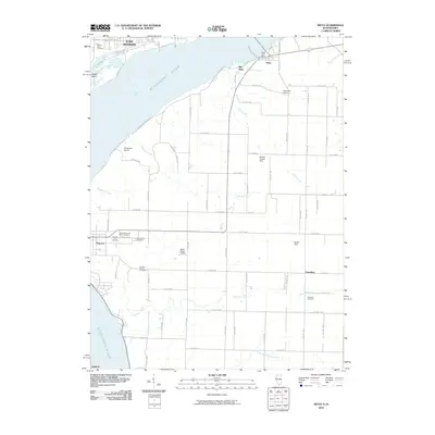 2010 Niota2010 Print · USGSThe riverfront and rural uplands of Hancock County are captured here in the early twenty-first century, showing the enduring link between Fort Madison and Niota. Genealogists can trace several significant burial sites including Pioneer Saints Cemetery, Appanoose Cemetery, and Thornber Cemetery.
 - 2010 Map of Fort Madison, 2010 Print
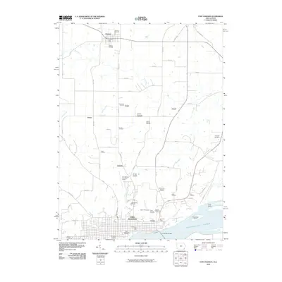 2010 Fort Madison2010 Print · USGSFort Madison sits at a prominent bend in the Mississippi River during the early twenty-first century, showing a landscape defined by institutional history and river commerce. Genealogists can trace dozens of burial sites like the Iowa State Prison Cemetery, Alley Cemetery, and Mothershed Cemetery.
 - 2010 Map of Dallas City, 2010 Print
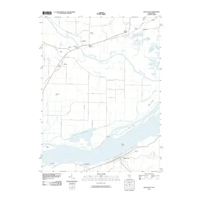 2010 Dallas City2010 Print · USGSThe riverfront border of Illinois and Iowa is captured here in the years before recent development, centered on the Mississippi River and Dallas City. Genealogists can locate several family-named burial grounds like Sourwine Cemetery and Terney Cemetery or trace the early postal routes near Wever.
 - 2010 Map of Nauvoo, 2010 Print
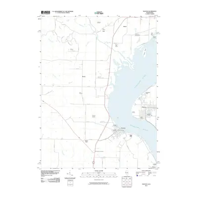 2010 Nauvoo2010 Print · USGSThe Mississippi River valley at the turn of the decade reveals a landscape of riverfront towns and historic burial sites. Genealogists can trace family names at the Half Breed Cemetery, Viele Cemetery, and the Smith Family Cemetery near Nauvoo.
 - 2010 Map of Lomax, 2010 Print
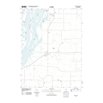 2010 Lomax2010 Print · USGSHenderson County, Illinois, sits along the Mississippi riverfront in this 2010 survey of its islands, sloughs, and agricultural villages. Genealogists can locate several family burial sites including the Talbert Family Cemetery and the Gittings Mound Cemetery near Lomax.
 - 2012 Map of Hamilton, 2012 Print
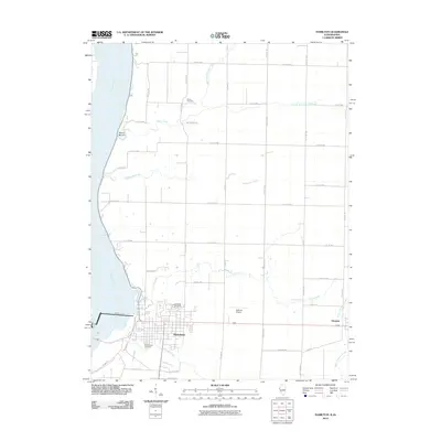 2012 Hamilton2012 Print · USGSThe Illinois-Iowa borderlands at the Mississippi River come into focus in this 2012 survey of the Hamilton and Elvaston area. Genealogists and researchers can trace local lineage at Oakwood Cemetery and Greenwood Cemetery or locate the industrial Keokuk Dam.2 unique versions available
 - 2012 Map of Keokuk, 2012 Print
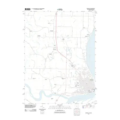 2012 Keokuk2012 Print · USGSThe confluence of the Mississippi and Des Moines rivers defines this corner of Iowa in the early 2010s. Local history researchers can trace the city of Keokuk, the Keokuk National Cemetery, and smaller sites like the Oiler Family Cemetery.
 - 2012 Map of Canton, 2012 Print
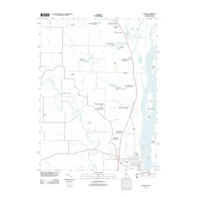 2012 Canton2012 Print · USGSCanton and the Lewis County riverfront come alive in the early 2010s as a hub of Mississippi River activity and rural Missouri settlement. Trace local history at the Canton Ferry or search for family roots at Oak Bluff Cemetery and Prospect Cemetery.
 - 2012 Map of Fountain Green, 2012 Print
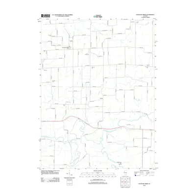 2012 Fountain Green2012 Print · USGSHancock County farmland and river bottoms are documented here in the early 2010s. Genealogists can trace deep local roots through numerous burial sites like Lincoln Catholic Cem, Friendship Cem, and the springs at Vishnu Springs.
 - 2012 Map of Augusta, 2012 Print
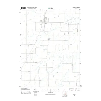 2012 Augusta2012 Print · USGSHancock County, Illinois, maintains its quiet agricultural character in the early twenty-first century. Researchers can trace family history through numerous rural burial sites including Old Augusta Cem, Dron Cem, and Leenerts Cem along the banks of Cedar Cr.
 - 2012 Map of Dallas City, 2012 Print
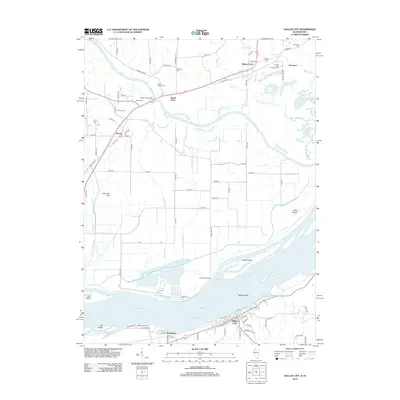 2012 Dallas City2012 Print · USGSThe Mississippi and Skunk Rivers meet in this early 21st-century survey of the Illinois and Iowa borderlands. Researchers can locate numerous family burial sites like Beebe Cem and Sourwine Cem or trace the riverfront streets of Dallas City and Pontoosuc.
 - 2012 Map of Bowen, 2012 Print
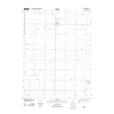 2012 Bowen2012 Print · USGSThe village of Bowen and the surrounding Hancock County farmlands are shown here in the early twenty-first century. Genealogists and local researchers can pinpoint historical burial sites like Ebenezer Cem and Bowen Cem or follow the paths of Slater Cr and Flour Cr.
 - 2012 Map of Tioga, 2012 Print
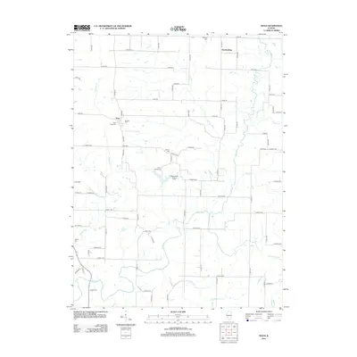 2012 Tioga2012 Print · USGSAdams County’s rural character is on full display in this early twenty-first-century survey of the Tioga area. Researchers can trace family history through several local landmarks including West Tioga Cem, Bethany Cem, and the small settlement at Breckenridge.
 - 2012 Map of Bentley, 2012 Print
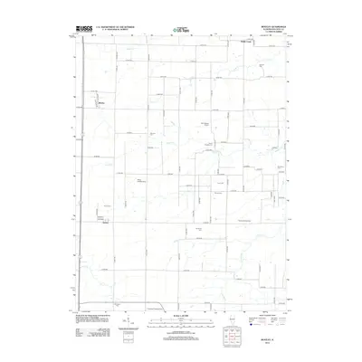 2012 Bentley2012 Print · USGSHancock County's rural landscape is captured here in the early 2010s, showing a well-established grid of farm roads and small communities. Researchers can locate numerous local burial sites like Old Sixteen Cem and Holland Cem or trace the private airfields such as Mc Pherson Airport.
 - 2012 Map of Lomax, 2012 Print
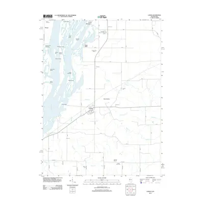 2012 Lomax2012 Print · USGSThe Mississippi riverfront near the Illinois-Iowa border comes to life in this survey of the river's islands, sloughs, and settlements. Genealogists can trace family names and locations at Carman, Lomax, and the Talbert Family Cem.
 - 2012 Map of Burnside, 2012 Print
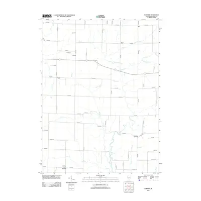 2012 Burnside2012 Print · USGSHancock County farmland is documented here in the early twenty-first century, showing the enduring rural layout of the Illinois prairie. Genealogists can locate family landmarks like Durham Cem and Vandruff Cem or trace the winding course of the La Moine River.
 - 2012 Map of Loraine, 2012 Print
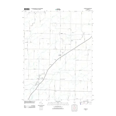 2012 Loraine2012 Print · USGSHancock County farmland is documented here in the early twenty-first century, showing a network of rural townships and family plots. Genealogists can trace local heritage through the Loraine Old Cem, Chili Cem, and small rural communities like Stillwell and Bigneck.
 - 2012 Map of Carthage East, 2012 Print
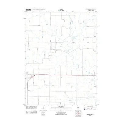 2012 Carthage East2012 Print · USGSHancock County farmland and the winding La Moine River define this part of Illinois during the early twenty-first century. Researchers can trace local heritage through numerous burial sites like Franklin Cem and Old Carthage Cem or locate the rural settlement of Webster.
 - 2012 Map of Carthage West, 2012 Print
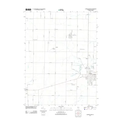 2012 Carthage West2012 Print · USGSHancock County is depicted here in the early twenty-first century as a landscape of established towns and surprising private airfields. Genealogists can locate several burial sites including Rock Creek Cem and Elvaston Cem, alongside the campus of Robert Morris Junior College.
 - 2012 Map of La Harpe, 2012 Print
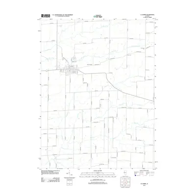 2012 La Harpe2012 Print · USGSLa Harpe and its surrounding Hancock County farmlands are documented here in the early twenty-first century. Genealogists and researchers can trace local families through several burial grounds, including Hillsborough Cem and Duncan Cem, or locate Morton Airport.
 - 2012 Map of Warsaw, 2012 Print
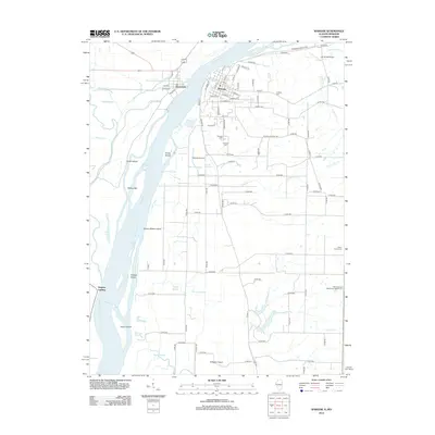 2012 Warsaw2012 Print · USGSThe confluence of the Fox and Mississippi Rivers defines this Illinois-Missouri border region in the early 21st century. Genealogists can trace family locations through Oakland Cemetery and Catholic Cemetery, or locate old landmarks like Calumet Springs and Gregory Landing.
 - 2012 Map of Plymouth, 2012 Print
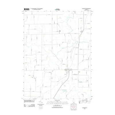 2012 Plymouth2012 Print · USGSThe rural landscapes of Hancock County are captured here in the early twenty-first century, showing a network of agricultural settlements and family burial grounds. Researchers can trace local history through sites like Irwin Cem, the village of Plymouth, and the Giles Griswold Airport.
 - 2012 Map of West Point, 2012 Print
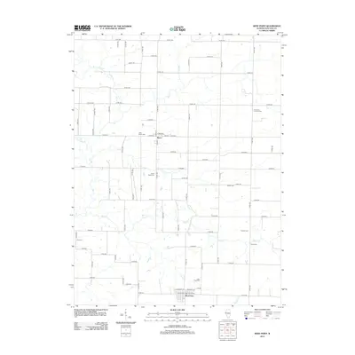 2012 West Point2012 Print · USGSHancock County remains a landscape of traditional prairie settlements and family farmsteads in the early twenty-first century. Genealogists can trace local ancestry through numerous burial sites like Immanuel Lutheran Cem, Bethel Cem, and West Point Cem.
 - 2012 Map of Sutter, 2012 Print
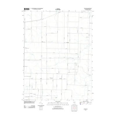 2012 Sutter2012 Print · USGSHancock County farmland is documented here in the early twenty-first century, centered on the village of Sutter. Genealogists will find an exceptional concentration of historic burial sites, from Wythe Presbyterian Cem to the Mount Vernon Missionary Baptist Cem.
 - 2012 Map of Colusa, 2012 Print
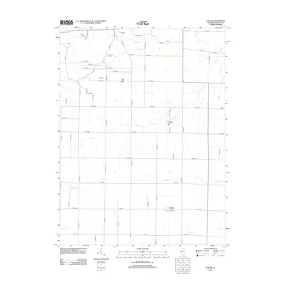 2012 Colusa2012 Print · USGSHancock County farmland is captured here in the early twenty-first century, showing the enduring grid of rural life. Researchers can locate family heritage sites like Little Family Cem and Harris Cem, or trace the winding waters of Camp Cr and Spillman Cr.
Showing maps 1-25 of 81
Top cities of Hancock County
- Hamilton historical maps
- Carthage historical maps
- Warsaw historical maps
- La Harpe historical maps
- Nauvoo historical maps
- Chili historical maps
See more
Frequently asked questions
- What are the different types of historical maps available for Hancock County?
- What is the oldest map of Hancock County?
- Where can I purchase historical maps of Hancock County for my home or office?
- Where can I download high-res historical maps of Hancock County?
- Are there historical topographic maps available for Hancock County?
- Is there historical aerial imagery available for Hancock County?
- Where are historical maps of Hancock County sourced from?