2000s (21st Century) Maps of Hancock County, Illinois
Explore 128 historic maps of Hancock County from the 2000s (21st Century). These maps offer a rare glimpse into what life looked like during the 2000s — showing old roads, neighborhoods, homes, and landmarks that have changed or disappeared over time.
Whether you're researching your family's past, planning a metal detecting trip, or studying how Hancock County's landscape evolved across the 2000s, these high-resolution maps are a powerful tool for exploring the history of this region.
- Focus on a specific era: All maps on this page are from the 2000s, giving you a focused view of this time period.
- See what’s changed: Compare century-old streets, trails, and buildings to today's modern landscape using overlays and satellite layers.
- Research with precision: Use these maps for genealogy, historical research, land use analysis, or educational projects.
- View, download, or print: Maps are fully viewable online in high resolution, and can be downloaded or printed for your own records.
Start exploring Hancock County's history through authentic maps from the 2000s. This is your window into the past.
Hancock County, IL maps
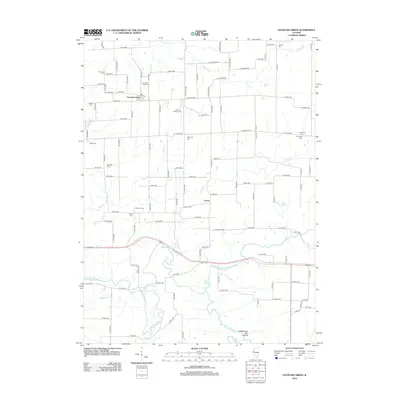
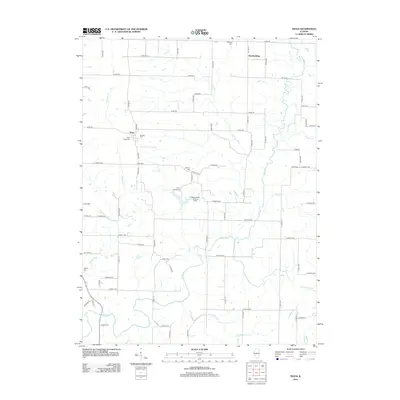
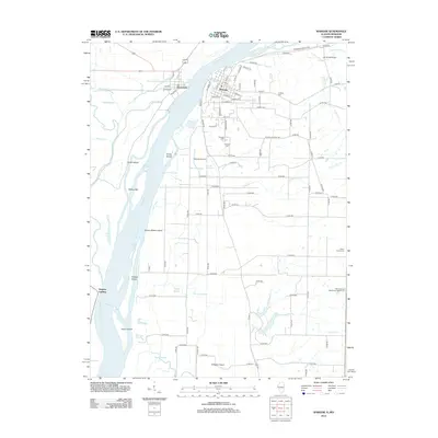
(128)- 2010 Map of Niota, 2010 Print
 2010 Niota2010 Print · USGSCovers Hancock County, including Fort Madison, Nauvoo, and other nearby areas
 - 2010 Map of Fort Madison, 2010 Print
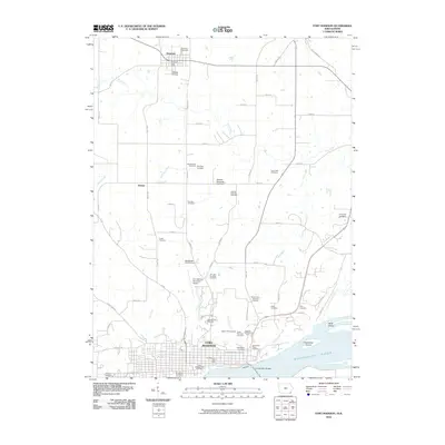 2010 Fort Madison2010 Print · USGSCovers Hancock County, including Fort Madison, Denmark, and other nearby areas
 - 2010 Map of Dallas City, 2010 Print
 2010 Dallas City2010 Print · USGSCovers Hancock County, including Dallas City, Pontoosuc, and other nearby areas
 - 2010 Map of Nauvoo, 2010 Print
 2010 Nauvoo2010 Print · USGSCovers Hancock County, including Fort Madison, Nauvoo, and other nearby areas
 - 2010 Map of Lomax, 2010 Print
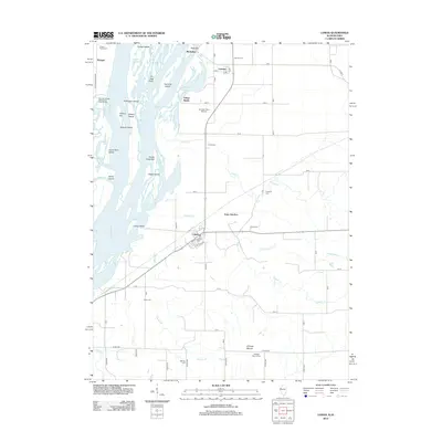
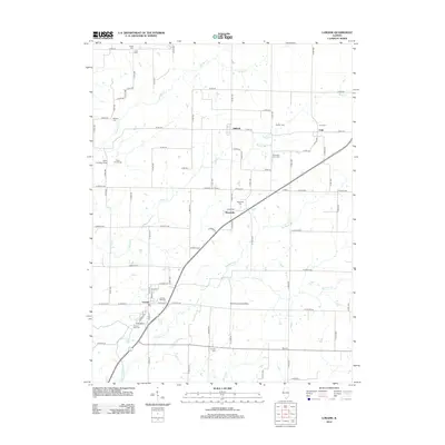
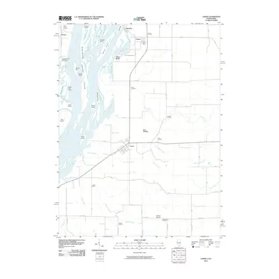 2010 Lomax2010 Print · USGSCovers Hancock County, including Lomax, Carman, and other nearby areas
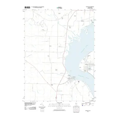
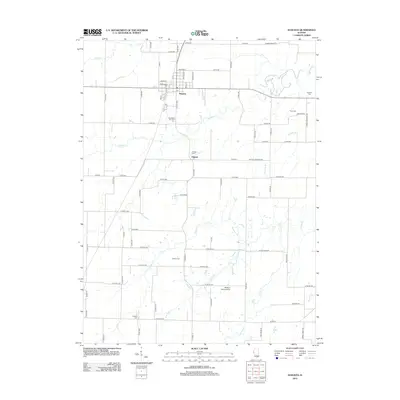
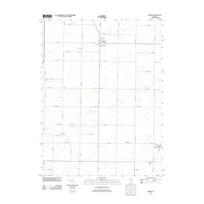
 - 2012 Map of Hamilton, 2012 Print
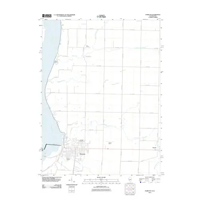 2012 Hamilton2012 Print · USGSCovers Hancock County, including Keokuk, Hamilton, and other nearby areas2 unique versions available
 - 2012 Map of Keokuk, 2012 Print
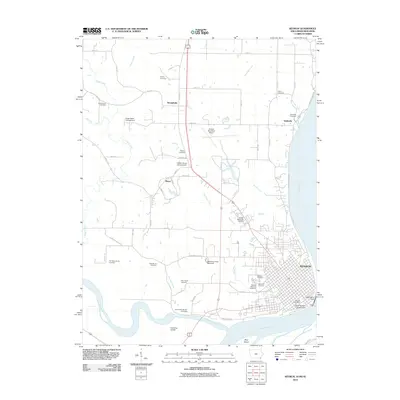 2012 Keokuk2012 Print · USGSCovers Hancock County, including Keokuk, Hamilton, and other nearby areas
 - 2012 Map of Canton, 2012 Print
 2012 Canton2012 Print · USGSCovers Hancock County, including Canton, Meyer, and other nearby areas
 - 2012 Map of Fountain Green, 2012 Print
 2012 Fountain Green2012 Print · USGSCovers Hancock County, including Fountain Green, Joetta, and other nearby areas
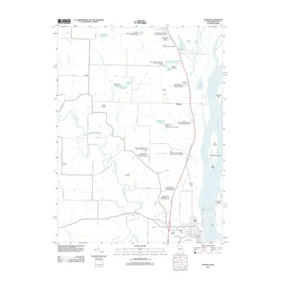
 - 2012 Map of Augusta, 2012 Print
 2012 Augusta2012 Print · USGSCovers Hancock County, including Augusta, La Prairie, and other nearby areas
 - 2012 Map of Dallas City, 2012 Print
 2012 Dallas City2012 Print · USGSCovers Hancock County, including Dallas City, Pontoosuc, and other nearby areas
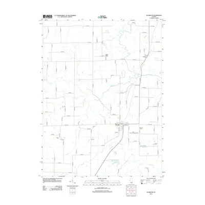
 - 2012 Map of Bowen, 2012 Print
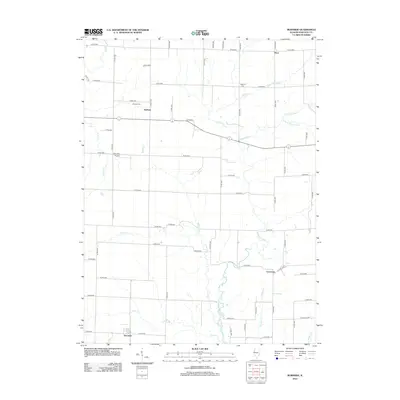
 2012 Bowen2012 Print · USGSCovers Hancock County, including Bowen, La Prairie, and other nearby areas
 - 2012 Map of Tioga, 2012 Print
 2012 Tioga2012 Print · USGSCovers Hancock County, including Lima, Tioga, and other nearby areas
 - 2012 Map of Bentley, 2012 Print
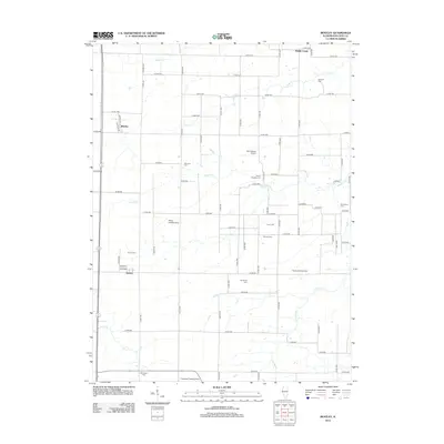 2012 Bentley2012 Print · USGSCovers Hancock County, including Bentley, Middle Creek, and other nearby areas
 - 2012 Map of Lomax, 2012 Print
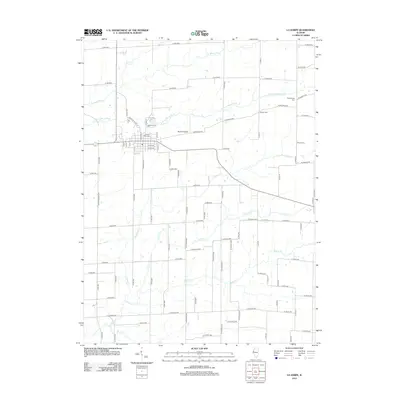
 2012 Lomax2012 Print · USGSCovers Hancock County, including Lomax, Carman, and other nearby areas
 - 2012 Map of Burnside, 2012 Print
 2012 Burnside2012 Print · USGSCovers Hancock County, including Durham, Disco, and other nearby areas
 - 2012 Map of Loraine, 2012 Print
 2012 Loraine2012 Print · USGSCovers Hancock County, including Chili, Loraine, and other nearby areas
 - 2012 Map of Carthage East, 2012 Print
 2012 Carthage East2012 Print · USGSCovers Hancock County, including Carthage, Webster, and other nearby areas
 - 2012 Map of Carthage West, 2012 Print
 2012 Carthage West2012 Print · USGSCovers Hancock County, including Carthage, Ferris, and other nearby areas
 - 2012 Map of La Harpe, 2012 Print
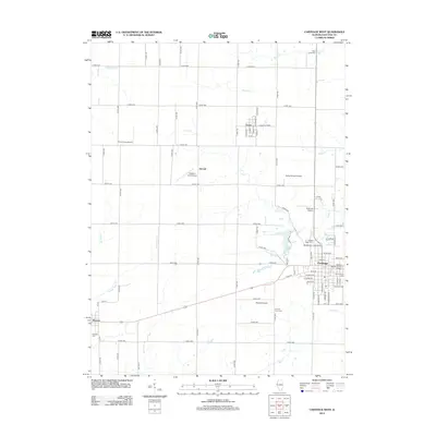
 2012 La Harpe2012 Print · USGSCovers Hancock County, including La Harpe, Blandinsville, and other nearby areas
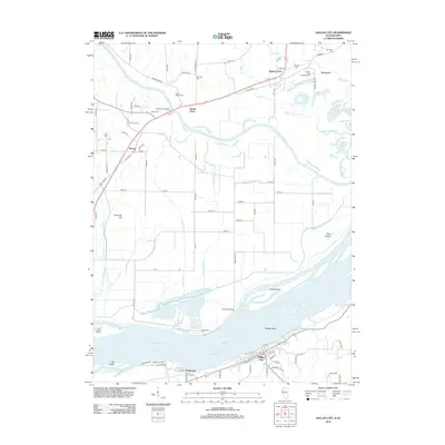
 - 2012 Map of Warsaw, 2012 Print
 2012 Warsaw2012 Print · USGSCovers Hancock County, including Warsaw, Alexandria, and other nearby areas
 - 2012 Map of Plymouth, 2012 Print
 2012 Plymouth2012 Print · USGSCovers Hancock County, including Saint Mary, Plymouth, and other nearby areas
 - 2012 Map of West Point, 2012 Print
 2012 West Point2012 Print · USGSCovers Hancock County, including West Point, Basco, and other nearby areas
 - 2012 Map of Sutter, 2012 Print
 2012 Sutter2012 Print · USGSCovers Hancock County, including Sutter, Elderville, and other nearby areas
 - 2012 Map of Colusa, 2012 Print
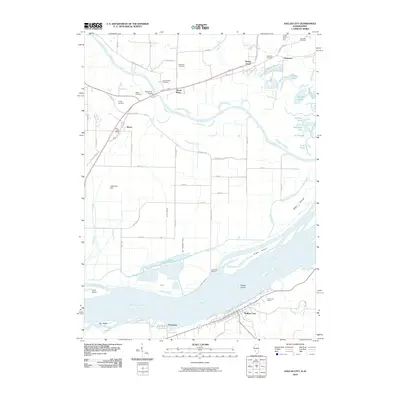
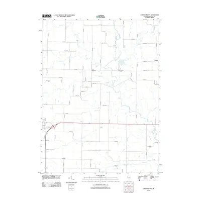
 2012 Colusa2012 Print · USGSCovers Hancock County, including Dallas City, Pontoosuc, and other nearby areas
Showing maps 1-25 of 128
Top cities of Hancock County
- Hamilton historical maps
- Carthage historical maps
- Warsaw historical maps
- La Harpe historical maps
- Nauvoo historical maps
- Chili historical maps
See more
Frequently asked questions
- What are the different types of historical maps available for Hancock County?
- What is the oldest map of Hancock County?
- Where can I purchase historical maps of Hancock County for my home or office?
- Where can I download high-res historical maps of Hancock County?
- Are there historical topographic maps available for Hancock County?
- Is there historical aerial imagery available for Hancock County?
- Where are historical maps of Hancock County sourced from?