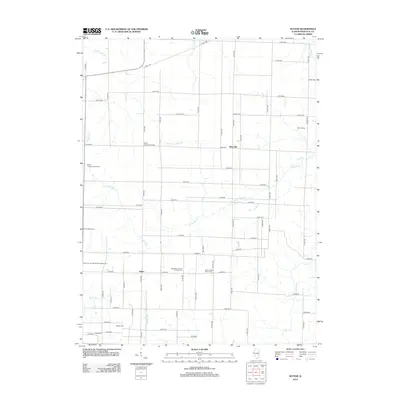
2012 Map of Sutter
USGS Topo · Published 2012About this map
The settlement of Sutter and the surrounding Hancock County countryside are defined by a dense network of burial sites and rural congregations. This area is notably rich in genealogical sites, including the Wythe Presbyterian Cem and Wythe Congregational Cem, which point to early Presbyterian and Congregationalist foundations in the region. Further south, the Salem Church Sutter Cem and Bethlehem Church of Christ Cem anchor the community, alongside several smaller family or local plots such as Walker Cem and Grant Cem.
Find a feature on this map
57 named features on this map. Tap any name to fly to it.
Don’t see what you’re looking for? This feature index may not catch every label — zoom into the map to look around manually.
Map Details
Editions of this 2012 Sutter Map
This is the sole edition of this map. No revisions or reprints were ever made.
Other maps of this area

1933 · Carthage
USGS Topo · 1:62,500

1936 · Keokuk
USGS Topo · 1:62,500

1937 · Carthage
USGS Topo · 1:62,500

1946 · Mendon
USGS Topo · 1:62,500

1948 · Mendon
USGS Topo · 1:62,500

1948 · Camp Point
USGS Topo · 1:62,500

1950 · Keokuk
USGS Topo · 1:62,500

1958 · Burlington
USGS Topo · 1:250,000

1961 · Burlington
USGS Topo · 1:250,000

1963 · Burlington
USGS Topo · 1:250,000