2020s Maps of Jefferson County, Illinois
Explore 34 historic maps of Jefferson County from the 2020s. These maps offer a rare glimpse into what life looked like during the 2020s — showing old roads, neighborhoods, homes, and landmarks that have changed or disappeared over time.
Whether you're researching your family's past, planning a metal detecting trip, or studying how Jefferson County's landscape evolved across the 2020s, these high-resolution maps are a powerful tool for exploring the history of this region.
- Focus on a specific era: All maps on this page are from the 2020s, giving you a focused view of this time period.
- See what’s changed: Compare century-old streets, trails, and buildings to today's modern landscape using overlays and satellite layers.
- Research with precision: Use these maps for genealogy, historical research, land use analysis, or educational projects.
- View, download, or print: Maps are fully viewable online in high resolution, and can be downloaded or printed for your own records.
Start exploring Jefferson County's history through authentic maps from the 2020s. This is your window into the past.
Jefferson County, IL maps
(34)- 2021 Map of Kell, 2021 Print
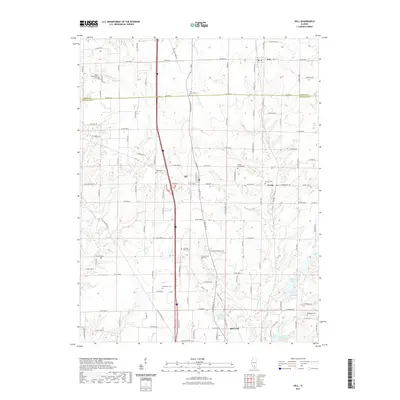 2021 Kell2021 Print · USGSThe Jefferson and Marion County line comes alive here in the early 2020s, showing a landscape rich with rural heritage and water resources. Local historians can trace many family-named landmarks and burial sites like Gilead Cem, Ebenezer Cem, and the waters of Casey Fork.
 - 2021 Map of Sesser, 2021 Print
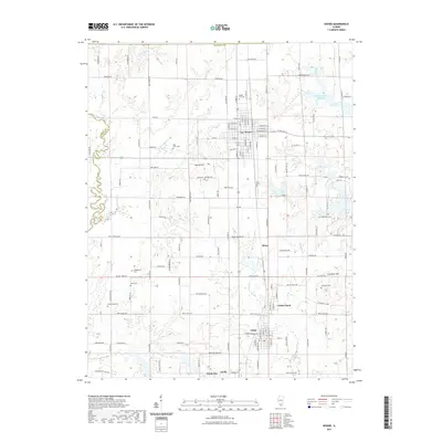 2021 Sesser2021 Print · USGSFranklin County's coal country and rural townships are captured here in the early twenty-first century. Genealogists can locate several family burial grounds including Youngblood Cemetery, Grammer Cemetery, and Bear Point Cemetery.
 - 2021 Map of Dahlgren, 2021 Print
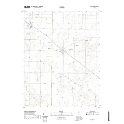 2021 Dahlgren2021 Print · USGSDahlgren and Belle Rive are shown at the turn of the decade, revealing a rural landscape defined by deep-rooted family history. Researchers can trace numerous family and fraternal burial sites including the Wall Family Cem, Four Graves, and the Independent Order of Oddfellows Cem.
 - 2021 Map of Spring Garden, 2021 Print
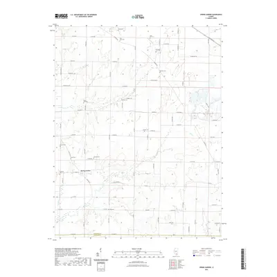 2021 Spring Garden2021 Print · USGSSouthern Illinois farmland is depicted here in the early twenty-first century, showing the rural community of Spring Garden and the JEFFERSON CO line. Genealogists can trace family burial sites across a dozen locations, including McKinney Cem, Hope Cem, and Round Knob Cem.
 - 2021 Map of Ina, 2021 Print
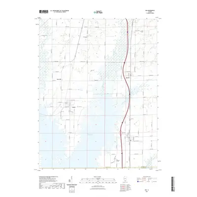 2021 Ina2021 Print · USGSJefferson County in the early 2020s shows a landscape shaped by coal mining history and academic growth. Researchers can trace family roots at Abner Cem or Kirk Cem, and locate the modern campus of Rend Lake College near Ina.
 - 2021 Map of Harmony, 2021 Print
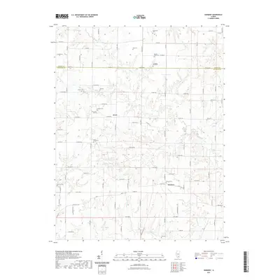 2021 Harmony2021 Print · USGSSouthern Illinois farm country along the Jefferson and Marion county line is shown here in the early 2020s. Genealogists can locate numerous local burial sites and landmarks including Hall Cem, Donoho Prairie Cem, and the rural crossroads of Divide.
 - 2021 Map of Woodlawn, 2021 Print
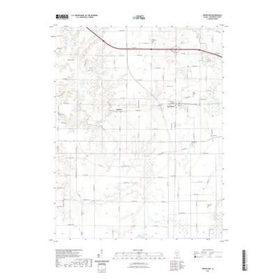 2021 Woodlawn2021 Print · USGSJefferson County in the 2020s remains a landscape of quiet rural settlements and numerous family burial grounds. Genealogists can trace local heritage at Mount Catherine Cem or Black Cem and locate landmarks like The Pinnacle near Roaches.
 - 2021 Map of Shields, 2021 Print
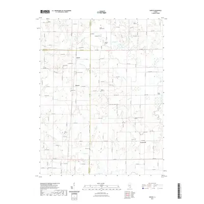 2021 Shields2021 Print · USGSSouthern Illinois rural life at the start of the 2020s is mapped here across the borders of Marion, Jefferson, and Wayne counties. Researchers can trace family history through a high density of rural cemeteries like Ten Post Oak Cem and Wells Chapel Cem near the Skillet Fork river.
 - 2021 Map of Opdyke, 2021 Print
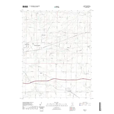 2021 Opdyke2021 Print · USGSJefferson County, Illinois, at the start of the 2020s shows a landscape of enduring rural settlements and crossroads. Researchers can trace family history through a high density of burial sites like Etheridge Cem and Newton Cem, or locate landmarks from Opdyke to the Mount Vernon Airport.
 - 2021 Map of Waltonville, 2021 Print
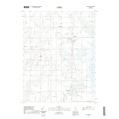 2021 Waltonville2021 Print · USGSJefferson County was well-established by the early twenty-first century, featuring a dense network of rural settlements and family cemeteries. Genealogists can trace local history through sites like Horse Prairie Cem and Stevens Cem, or locate landmarks like the Waltonville PO.
 - 2021 Map of Bluford, 2021 Print
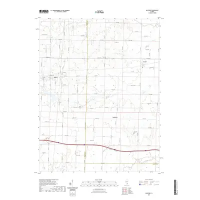 2021 Bluford2021 Print · USGSThe rural borderlands of Jefferson, Wayne, and Hamilton counties are mapped here in the early 2020s. Genealogists and historians can trace local family lineages through several documented sites like Mount Olive Cem, Egbert Cem, and the village of Bluford.
 - 2021 Map of Mount Vernon, 2021 Print
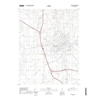 2021 Mount Vernon2021 Print · USGSMount Vernon and its southern Jefferson County outskirts are documented here in the early 2020s, showing a landscape shaped by transportation and water. Genealogists can trace family sites at Old Shiloh Cem or Wolf Prairie Cem near the Big Muddy River.
 - 2021 Map of Walnut Hill, 2021 Print
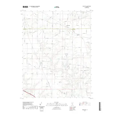 2021 Walnut Hill2021 Print · USGSSouthern Illinois farming communities and small crossroad settlements are documented here in the early twenty-first century. Researchers can locate numerous family burial sites such as Fouts Cemetery and Boyd Farm Cemetery along the Big Muddy River.
 - 2021 Map of Irvington, 2021 Print
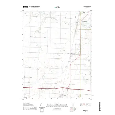 2021 Irvington2021 Print · USGSSouthern Illinois at the junction of three counties reveals a landscape of established villages and farm-to-market roads. Genealogists can trace family roots through Irvington Cemetery or Harres Cem while locating old sites like Noltings and Alda.
 - 2021 Map of Du Quoin, 2021 Print
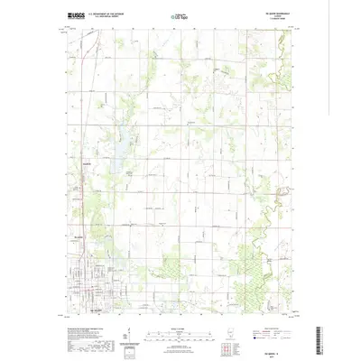 2021 Du Quoin2021 Print · USGSPerry County, Illinois, is captured here in the contemporary era, showing the established grid of agricultural lands and southern settlements. Researchers can locate numerous family burial grounds like Haggard Cem and the Reid - Kirkpatrick Cem near the Little Muddy River.
 - 2021 Map of Ashley, 2021 Print
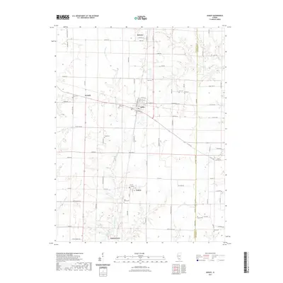 2021 Ashley2021 Print · USGSWashington and Jefferson counties are depicted here in the early 2020s, showcasing a network of rural settlements and cemeteries. Family researchers can trace roots at Saint Michael Cem in Radom or find landmarks like Logan Cem and the ICRR Reservoir.
 - 2021 Map of Tamaroa, 2021 Print
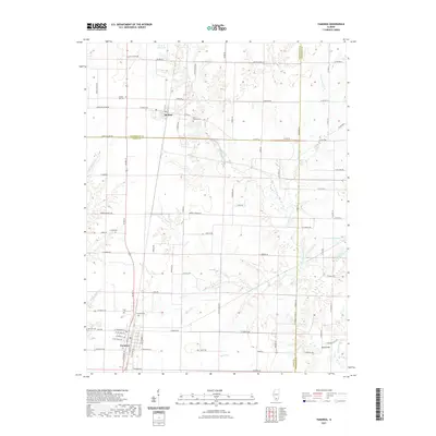 2021 Tamaroa2021 Print · USGSThe rural communities of Tamaroa and Du Bois are shown here as they appeared in 2021, where Perry, Washington, and Jefferson counties meet. Researchers can locate family sites at Curlee Cem and Antioch Cem or trace the path of the Little Muddy River.
 - 2024 Map of Walnut Hill, 2024 Print
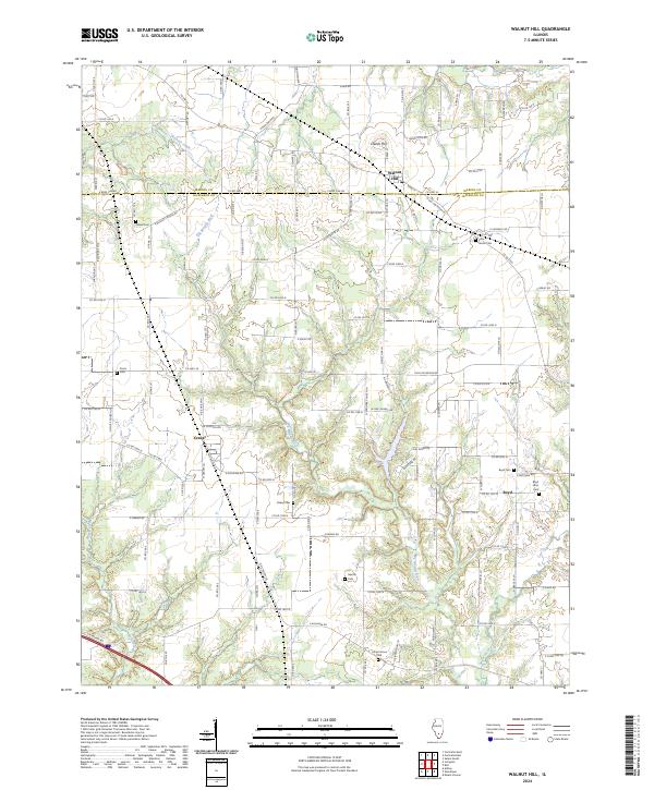 2024 Walnut Hill2024 Print · USGSMarion and Jefferson counties at the present day show a landscape of quiet river bends and family-settled hamlets. Genealogists can trace rural roots through numerous burial sites like Gilead Cem, Piskey Cem, and the village of Walnut Hill.
 - 2024 Map of Mount Vernon, 2024 Print
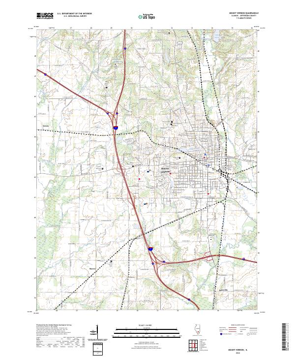 2024 Mount Vernon2024 Print · USGSMount Vernon and its southern rural reaches are captured here in the twenty-first century, showing a mix of urban development and agricultural tradition. Genealogists can trace family names at Old Shiloh Cem, Oakwood Cem, and the Bethel Memorial Cem.
 - 2024 Map of Ina, 2024 Print
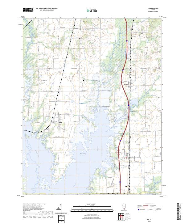 2024 Ina2024 Print · USGSJefferson County in the early twenty-first century is defined by its rural settlements and the expanding reach of the regional reservoir system. Local researchers can trace family sites at Hickory Hill Cem and Abner Cem or locate the historic center of Ina.
 - 2024 Map of Opdyke, 2024 Print
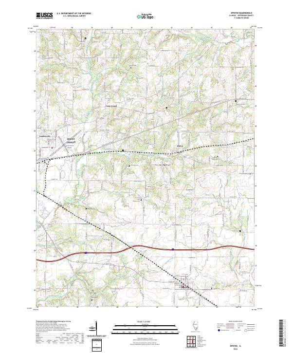 2024 Opdyke2024 Print · USGSSouthern Jefferson County is captured here in the 2020s, showing the rural landscape surrounding Opdyke and Marlow. Researchers can locate numerous family burial grounds like Black Oak Ridge Cem and follow the paths of Dodds Creek and Sevenmile Creek.
 - 2024 Map of Bluford, 2024 Print
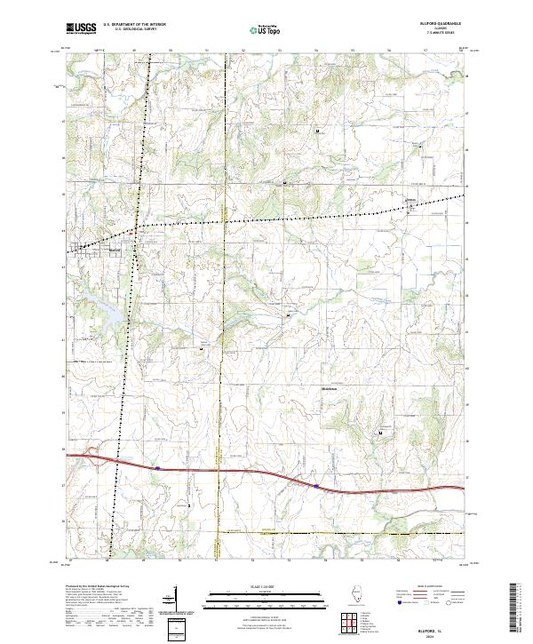 2024 Bluford2024 Print · USGSSouthern Illinois at the crossroads of Jefferson, Wayne, and Hamilton counties is captured here in recent detail. Researchers can locate several community landmarks including Mount Olive Cem, Laird Cem, and the settlement at Middleton.
 - 2024 Map of Harmony, 2024 Print
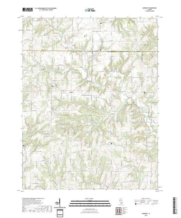 2024 Harmony2024 Print · USGSThe rural border of Jefferson and Marion counties comes into focus in this recent survey of a landscape shaped by creek forks and family history. Genealogists can trace decades of local heritage through sites like Donoho Prairie Cem, the settlement at Divide, and the winding Panther Fork.
 - 2024 Map of Kell, 2024 Print
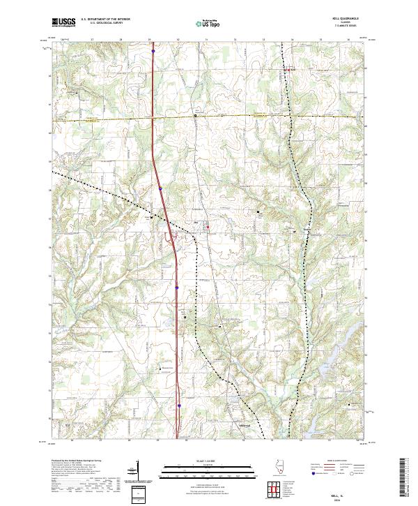 2024 Kell2024 Print · USGSThis Illinois prairie landscape spans the border of Marion and Jefferson counties, showing the rural communities of Kell and Texico in the modern era. Genealogists can trace family heritage through nearly a dozen local burial grounds, including Old Covenanter Cem and Gilead Cem.
 - 2024 Map of Shields, 2024 Print
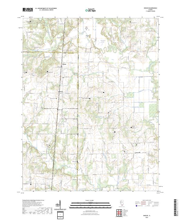 2024 Shields2024 Print · USGSThe rural borders of Wayne, Jefferson, and Marion counties come alive in this recent survey of the Illinois countryside. Genealogists can trace family legacies across numerous burial sites like Ten Post Oak Cem, McConhaughhay Cem, and Mifflin Cem.
Showing maps 1-25 of 34
Top cities of Jefferson County
- Mount Vernon historical maps
- Spring Garden historical maps
- Ina historical maps
- Bluford historical maps
- Woodlawn historical maps
- Dix historical maps
See more
Frequently asked questions
- What are the different types of historical maps available for Jefferson County?
- What is the oldest map of Jefferson County?
- Where can I purchase historical maps of Jefferson County for my home or office?
- Where can I download high-res historical maps of Jefferson County?
- Are there historical topographic maps available for Jefferson County?
- Is there historical aerial imagery available for Jefferson County?
- Where are historical maps of Jefferson County sourced from?