2010s Maps of Jefferson County, Illinois
Explore 51 historic maps of Jefferson County from the 2010s. These maps offer a rare glimpse into what life looked like during the 2010s — showing old roads, neighborhoods, homes, and landmarks that have changed or disappeared over time.
Whether you're researching your family's past, planning a metal detecting trip, or studying how Jefferson County's landscape evolved across the 2010s, these high-resolution maps are a powerful tool for exploring the history of this region.
- Focus on a specific era: All maps on this page are from the 2010s, giving you a focused view of this time period.
- See what’s changed: Compare century-old streets, trails, and buildings to today's modern landscape using overlays and satellite layers.
- Research with precision: Use these maps for genealogy, historical research, land use analysis, or educational projects.
- View, download, or print: Maps are fully viewable online in high resolution, and can be downloaded or printed for your own records.
Start exploring Jefferson County's history through authentic maps from the 2010s. This is your window into the past.
Jefferson County, IL maps
(51)- 2012 Map of Woodlawn, 2012 Print
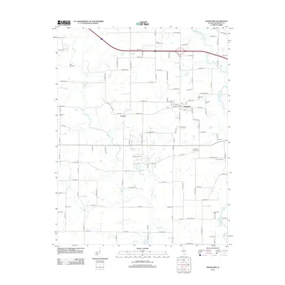 2012 Woodlawn2012 Print · USGSWoodlawn and the southern Illinois countryside appear in high detail during the early 2010s. Researchers can locate numerous family burial grounds and community sites, from the Woodlawn Oil Field to Oddfellows Cem and Mount Catherine Cem.
 - 2012 Map of Du Quoin, 2012 Print
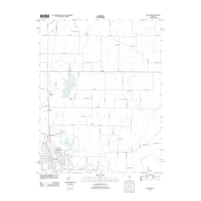 2012 Du Quoin2012 Print · USGSPerry County's rural and industrial character is preserved here in the early twenty-first century as the landscape transitions from the city of Du Quoin to northern oil fields. Family historians can locate numerous burial sites like Paradise Prairie Cem or trace rail history at Goddard Siding.
 - 2012 Map of Walnut Hill, 2012 Print
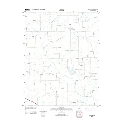 2012 Walnut Hill2012 Print · USGSSouthern Illinois at the start of the decade reveals a landscape shaped by petroleum extraction and long-standing rural communities. Genealogists can trace family landmarks at Gilead Cem and Piskey Cem, or explore the industrial footprints of the Cravat Oil Field.
 - 2012 Map of Sesser, 2012 Print
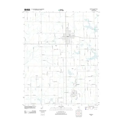 2012 Sesser2012 Print · USGSSesser and its surrounding coal-country settlements are documented here during the early twenty-first century. Genealogists and local historians can trace family locations through numerous sites like Maple Hill Cem, Greenwood Cem, and the Sesser Oil Field.
 - 2012 Map of Spring Garden, 2012 Print
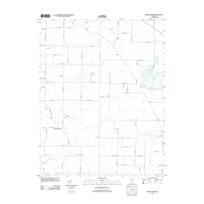 2012 Spring Garden2012 Print · USGSJefferson County farmland and the settlement of Spring Garden are captured here in the early twenty-first century. Researchers can trace family roots through a remarkable number of rural burial sites, including Richardson Farm Cem and McKinney Cem.
 - 2012 Map of Bluford, 2012 Print
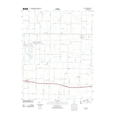 2012 Bluford2012 Print · USGSSouthern Illinois petroleum and rail history intersect in this study of Jefferson County during the early twenty-first century. Researchers can trace the legacy of local families through Mount Olive Cem and Egbert Cem while exploring the infrastructure of the Bluford Oil Field.
 - 2012 Map of Shields, 2012 Print
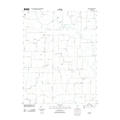 2012 Shields2012 Print · USGSSouthern Illinois at the start of the 2010s shows a landscape of rural settlements and oil production along the winding Skillet Fork. Genealogists can trace deep local roots through numerous sites like Jacob Chapel Cem, Ten Post Oak Cem, and McConnaughhay Cem.
 - 2012 Map of Dahlgren, 2012 Print
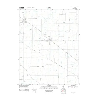 2012 Dahlgren2012 Print · USGSSouthern Illinois farm country and the village of Dahlgren are captured here in the early twenty-first century. Genealogists and local historians can locate numerous burial sites like Bethel Cem and Saint Johns Cem, along with the Little Egypt Youth Camp.
 - 2012 Map of Ina, 2012 Print
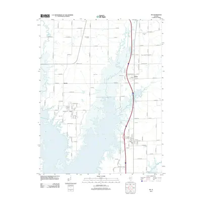 2012 Ina2012 Print · USGSJefferson County’s southern reaches are showcased in this early 21st-century record of the developing shoreline and rural crossroads. Genealogists can trace family heritage at Abner Cem and Kirk Cem, or locate the historic center of Nason near the banks of Rend Lake.
 - 2012 Map of Mount Vernon, 2012 Print
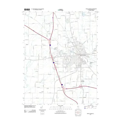 2012 Mount Vernon2012 Print · USGSMount Vernon and its surrounding Jefferson County townships appear in this early twenty-first-century survey as a primary regional crossroads. Genealogists can locate numerous local burial sites like Old Shiloh Cemetery and Oakwood Cemetery, or trace the rural landscape near Drivers and Wolf Prairie.
 - 2012 Map of Harmony, 2012 Print
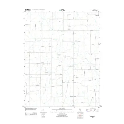 2012 Harmony2012 Print · USGSJefferson County's rural landscape is captured here in the early twenty-first century, showing a mix of established farming and active energy extraction. Genealogists can locate several historic burial sites like Donoho Prairie Cem, Falley Cem, and Harmony Cem.
 - 2012 Map of Kell, 2012 Print
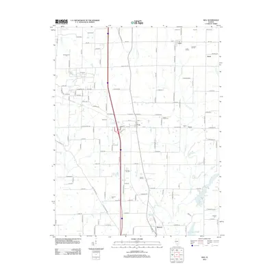 2012 Kell2012 Print · USGSJefferson County’s rural crossroads and petroleum history are well-documented in this early twenty-first-century survey. Genealogists can locate numerous community landmarks such as Antioch Cem, Jordan Chapel Cem, and the prominent Dix Oil Field.
 - 2012 Map of Opdyke, 2012 Print
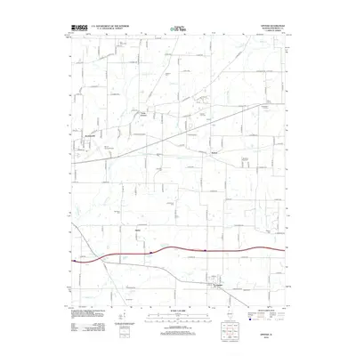 2012 Opdyke2012 Print · USGSJefferson County agricultural life and early 21st-century rural communities are documented here east of Mount Vernon. Researchers can trace family history through a dozen burial sites like Old Orchard Cem and Etheridge Cem or locate the village of Opdyke.
 - 2012 Map of Tamaroa, 2012 Print
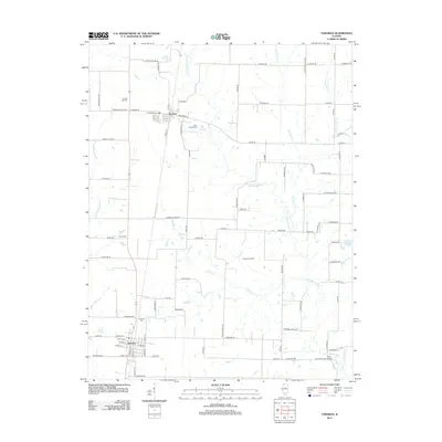 2012 Tamaroa2012 Print · USGSPerry County's rural character is on full display in this early twenty-first-century survey of the Du Bois and Tamaroa area. Genealogists and local historians can locate several family landmarks and burial sites, from Chapel Hill Cem to the namesake Tamaroa Oil Field.
 - 2012 Map of Irvington, 2012 Print
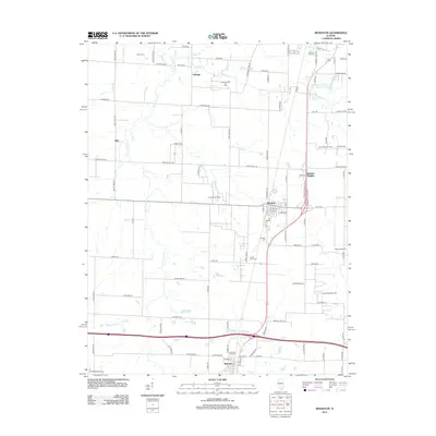 2012 Irvington2012 Print · USGSSouthern Illinois at the start of the 2010s reveals a landscape where traditional farming meets an active energy economy. Genealogists and local historians can trace family plots at Harres Cem or locate the various petroleum sites like the Richview Oil Field.
 - 2012 Map of Ashley, 2012 Print
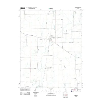 2012 Ashley2012 Print · USGSWashington County during the early twenty-first century remains a landscape of quiet villages and active energy production. Genealogists can trace family roots at the Saint Michaels Cem or Brick Cem, while historians can locate the Ashley Oil Field and the settlement of Radom.
 - 2012 Map of Waltonville, 2012 Print
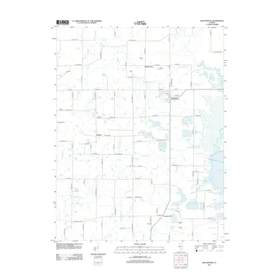 2012 Waltonville2012 Print · USGSSouthern Illinois rural life and water management are on full display in this Jefferson County area during the early 2010s. Researchers can trace family history through numerous local sites like Knob Prairie Cem, Saint Barbara Cem, and the village of Scheller.
 - 2015 Map of Ina, 2015 Print
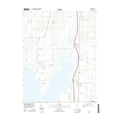 2015 Ina2015 Print · USGSJefferson and Franklin counties show a landscape shaped by water and transit in the mid-2010s. Trace local family history through Cub Prairie Cem and Abner Cem, or explore the development around the Mine Number 21 Resevoir.
 - 2015 Map of Kell, 2015 Print
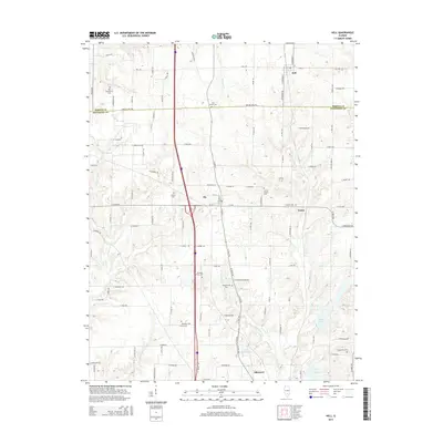 2015 Kell2015 Print · USGSSouthern Illinois farmland at the Marion and Jefferson county line comes into focus in this study of rural life. Genealogists can trace family footprints through numerous sites like Old Covenanter Cem, Kell, and Zion Grove Cem.
 - 2015 Map of Harmony, 2015 Print
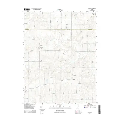 2015 Harmony2015 Print · USGSCrossing the line between Marion and Jefferson counties in the 2010s, this area preserves a rural landscape of family farms and creek bottoms. Genealogists can find numerous burial sites including Donoho Prairie Cem, Blankenship Cem, and the Union Chapel.
 - 2015 Map of Opdyke, 2015 Print
 2015 Opdyke2015 Print · USGSMount Vernon and its rural neighbors Opdyke and Bluford are captured in this mid-2010s survey of eastern Jefferson County. Genealogists can trace numerous local burial sites like Opdyke Cem and Black Oak Ridge Cem across a landscape carved by Sevenmile Cr.
 - 2015 Map of Bluford, 2015 Print
 2015 Bluford2015 Print · USGSSouthern Illinois at the crossroads of three counties reveals a landscape of small rail-side settlements and rural homesteads. Genealogists can trace family burial grounds like Salem Cem and Laird Cem near the historic Markham City area.
 - 2015 Map of Shields, 2015 Print
 2015 Shields2015 Print · USGSThe tri-county border of Marion, Jefferson, and Wayne Counties comes into focus in this mid-2010s study of rural Illinois life. Researchers can trace dozens of legacy family sites including Wells Chapel Cem, Lowery Cem, and Mifflin Cem near Stratton.
 - 2015 Map of Spring Garden, 2015 Print
 2015 Spring Garden2015 Print · USGSSouthern Illinois farm country and the village of Spring Garden are captured here in the mid-2010s. Genealogists can trace family heritage through numerous rural burial sites including Richardson Farm Cem, Hams Grove Cem, and Wilbanks Cem.
 - 2015 Map of Mount Vernon, 2015 Print
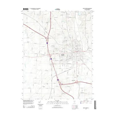 2015 Mount Vernon2015 Print · USGSJefferson County centers on the city of Mount Vernon in the mid-2010s, where the urban grid meets the rural outskirts of southern Illinois. Genealogists can trace dozens of local burial grounds such as Old Shiloh Cem, Wolf Prairie Cem, and the quiet crossroads of Morganville.
Showing maps 1-25 of 51
Top cities of Jefferson County
- Mount Vernon historical maps
- Spring Garden historical maps
- Ina historical maps
- Bluford historical maps
- Woodlawn historical maps
- Dix historical maps
See more
Frequently asked questions
- What are the different types of historical maps available for Jefferson County?
- What is the oldest map of Jefferson County?
- Where can I purchase historical maps of Jefferson County for my home or office?
- Where can I download high-res historical maps of Jefferson County?
- Are there historical topographic maps available for Jefferson County?
- Is there historical aerial imagery available for Jefferson County?
- Where are historical maps of Jefferson County sourced from?