2000s (21st Century) Maps of Meriden Township, Illinois
Explore 20 historic maps of Meriden Township from the 2000s (21st Century). These maps offer a rare glimpse into what life looked like during the 2000s — showing old roads, neighborhoods, homes, and landmarks that have changed or disappeared over time.
Whether you're researching your family's past, planning a metal detecting trip, or studying how Meriden Township's landscape evolved across the 2000s, these high-resolution maps are a powerful tool for exploring the history of this region.
- Focus on a specific era: All maps on this page are from the 2000s, giving you a focused view of this time period.
- See what’s changed: Compare century-old streets, trails, and buildings to today's modern landscape using overlays and satellite layers.
- Research with precision: Use these maps for genealogy, historical research, land use analysis, or educational projects.
- View, download, or print: Maps are fully viewable online in high resolution, and can be downloaded or printed for your own records.
Start exploring Meriden Township's history through authentic maps from the 2000s. This is your window into the past.
Meriden Township, IL maps
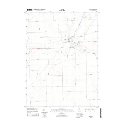
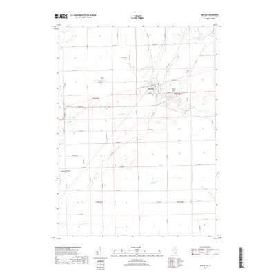
(20)- 2012 Map of Earlville, 2012 Print
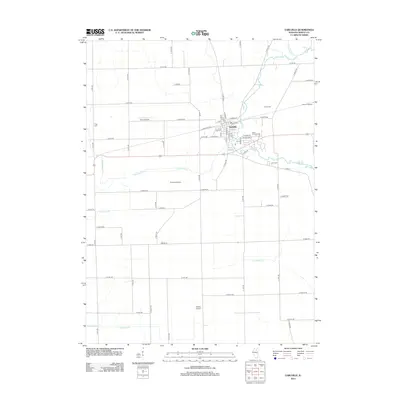 2012 Earlville2012 Print · USGSCovers Meriden Township, including Earlville, Earl Township, and other nearby areas
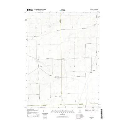
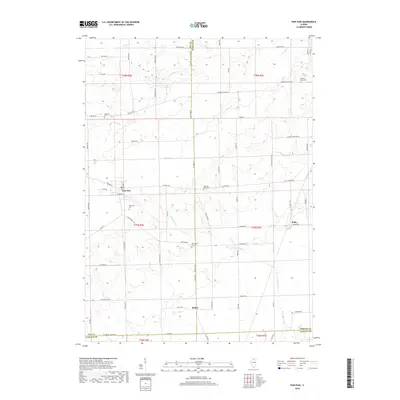
 - 2012 Map of Paw Paw, 2012 Print
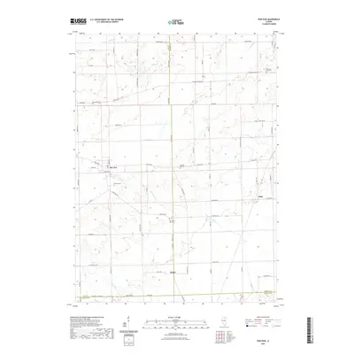
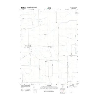 2012 Paw Paw2012 Print · USGSCovers Meriden Township, including Paw Paw, Paw Paw Township, and other nearby areas
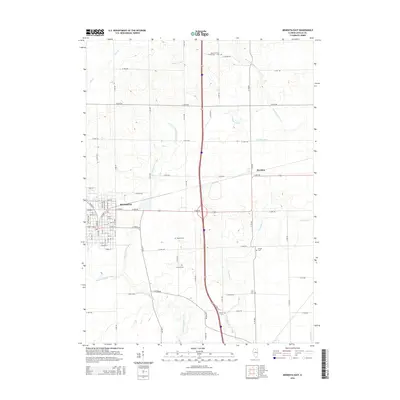
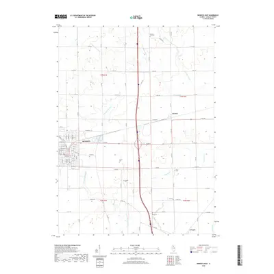
 - 2012 Map of Mendota East, 2012 Print
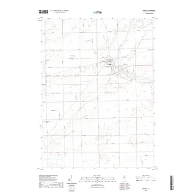
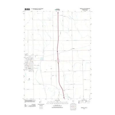 2012 Mendota East2012 Print · USGSCovers Meriden Township, including Mendota, Meriden, and other nearby areas
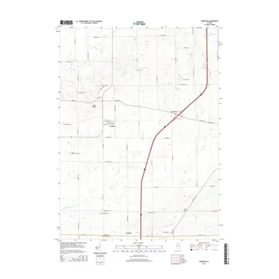
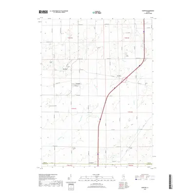
 - 2012 Map of Compton, 2012 Print
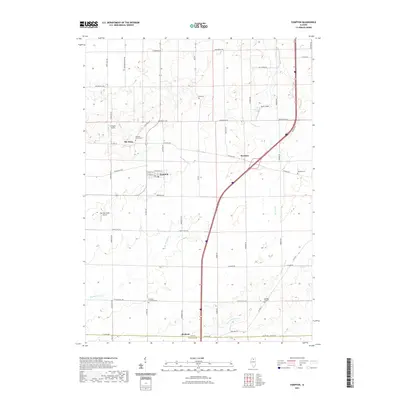
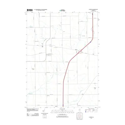 2012 Compton2012 Print · USGSCovers Meriden Township, including Compton, Mendota Township, and other nearby areas
 - 2015 Map of Earlville, 2015 Print
 2015 Earlville2015 Print · USGSCovers Meriden Township, including Earlville, Earl Township, and other nearby areas
 - 2015 Map of Paw Paw, 2015 Print
 2015 Paw Paw2015 Print · USGSCovers Meriden Township, including Paw Paw, Paw Paw Township, and other nearby areas
 - 2015 Map of Mendota East, 2015 Print
 2015 Mendota East2015 Print · USGSCovers Meriden Township, including Mendota, Meriden, and other nearby areas
 - 2015 Map of Compton, 2015 Print
 2015 Compton2015 Print · USGSCovers Meriden Township, including Compton, Mendota Township, and other nearby areas
 - 2018 Map of Earlville, 2018 Print
 2018 Earlville2018 Print · USGSCovers Meriden Township, including Earlville, Earl Township, and other nearby areas
 - 2018 Map of Paw Paw, 2018 Print
 2018 Paw Paw2018 Print · USGSCovers Meriden Township, including Paw Paw, Paw Paw Township, and other nearby areas
 - 2018 Map of Mendota East, 2018 Print
 2018 Mendota East2018 Print · USGSCovers Meriden Township, including Mendota, Meriden, and other nearby areas
 - 2018 Map of Compton, 2018 Print
 2018 Compton2018 Print · USGSCovers Meriden Township, including Compton, Mendota Township, and other nearby areas
 - 2021 Map of Paw Paw, 2021 Print
 2021 Paw Paw2021 Print · USGSCovers Meriden Township, including Paw Paw, Paw Paw Township, and other nearby areas
 - 2021 Map of Mendota East, 2021 Print
 2021 Mendota East2021 Print · USGSCovers Meriden Township, including Mendota, Meriden, and other nearby areas
 - 2021 Map of Compton, 2021 Print
 2021 Compton2021 Print · USGSCovers Meriden Township, including Compton, Mendota Township, and other nearby areas
 - 2021 Map of Earlville, 2021 Print
 2021 Earlville2021 Print · USGSCovers Meriden Township, including Earlville, Earl Township, and other nearby areas
 - 2024 Map of Earlville, 2024 Print
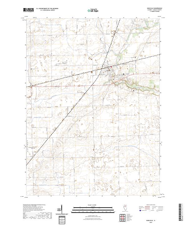 2024 Earlville2024 Print · USGSSurrounding the town of Earlville in the 2020s, this LaSalle County map shows a rural landscape defined by prairie waterways and local aviation. Researchers can locate family burial sites at Saint Theresa or Precinct Cem and trace the paths of Indian Creek and Stephens Run.
 - 2024 Map of Mendota East, 2024 Print
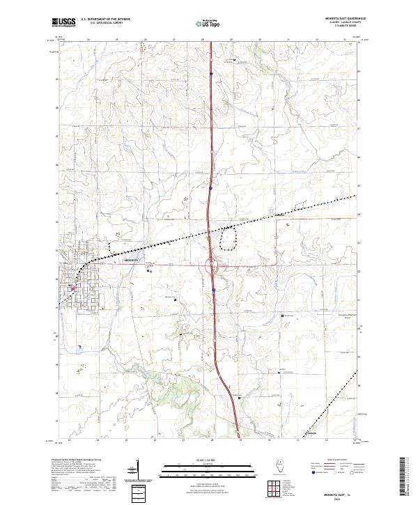 2024 Mendota East2024 Print · USGSLaSalle County remains a core agricultural landscape in this modern study of the northern Illinois prairie. Genealogists can locate several rural burial sites like Hill Cem and Crandall Cem scattered between the communities of Mendota and Triumph.
 - 2024 Map of Compton, 2024 Print
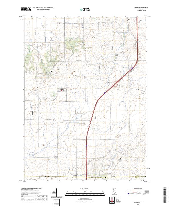 2024 Compton2024 Print · USGSAgricultural traditions in Lee and LaSalle Counties are preserved in this recent survey of the prairie landscape. Genealogists and historians can locate numerous rural burial grounds including Melugin Grove Cem, Fisk Cem, and the Brooklyn Lutheran Cem.
 - 2024 Map of Paw Paw, 2024 Print
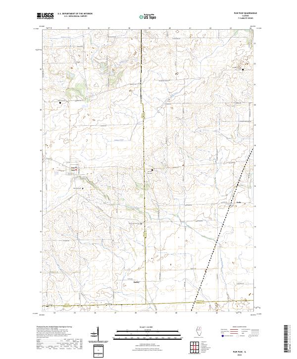 2024 Paw Paw2024 Print · USGSThe rural borderlands where Lee, DeKalb, and LaSalle counties meet are captured here in the early twenty-first century. Family historians can trace ancestral sites across a landscape dotted with the Wyoming Cem, East Paw Paw Cem, and the small settlement of Rollo.
End of results
Showing maps 1-20 of 20
Top cities near Meriden Township
- Peru historical maps
- LaSalle historical maps
- Mendota historical maps
- Spring Valley historical maps
- Dayton historical maps
- Earlville historical maps
See more
Top neighborhoods of Meriden Township
Frequently asked questions
- What are the different types of historical maps available for Meriden Township?
- What is the oldest map of Meriden Township?
- Where can I purchase historical maps of Meriden Township for my home or office?
- Where can I download high-res historical maps of Meriden Township?
- Are there historical topographic maps available for Meriden Township?
- Is there historical aerial imagery available for Meriden Township?
- Where are historical maps of Meriden Township sourced from?