Old Maps of Meriden Township, Illinois for Hiking & Exploration
Hike through history with 32 historic maps of Meriden Township. Explore old trails, ghost towns, and forgotten backroads — perfect for outdoor adventurers and local explorers.
- Rediscover forgotten places: Map out old mining camps, roads, and footpaths that no longer exist on modern maps.
- Layer with modern tools: Combine with LiDAR or satellite views to plan hikes through historical terrain.
- Made for exploration: Popular among hikers, overlanders, and local history lovers.
Use these maps to find adventure and explore the hidden past of Meriden Township.
Meriden Township, IL maps
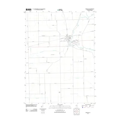
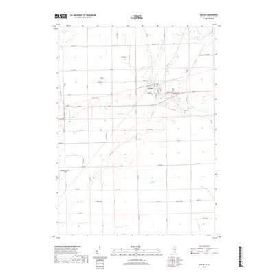
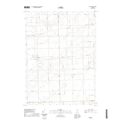
(32)- 1951 Map of Earlville, 1952 Print
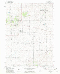
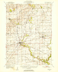 1951 Earlville1952 Print · USGSThe rural crossroads of north-central Illinois come to life in this early fifties survey of the area surrounding Earlville and Leland. Genealogists can trace family ties at the Baker Cem or St Clara Cem and locate vanished schoolhouses like Austin Sch.2 unique versions available
 - 1952 Map of Mendota, 1954 Print
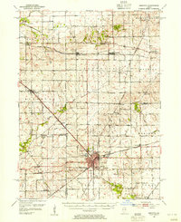 1952 Mendota1954 Print · USGSMendota was a bustling railroad crossroads in the 1950s at the junction of three major lines. Genealogists can trace family roots through numerous country burial grounds and schoolhouses like Holy Cross Cem, Restland Cem, and Schlesinger Sch.3 unique versions available
 - 1958 Map of Aurora, 1969 Print
 1958 Aurora1969 Print · USGSNorthern Illinois in the late fifties shows a landscape of powerful river industry and expanding transport corridors. Genealogists and historians can trace the development of Aurora and Joliet or locate sites like the Elwood Ordnance Plant and Starved Rock.3 unique versions available
 - 1961 Map of Aurora
 1961 Aurora1961 Print · USGSNorthern Illinois at the height of the post-war era reveals a landscape of massive industrial works and thriving river towns. Genealogists and historians can trace the paths of the Lincoln Highway or locate long-standing landmarks like the Green River Ordnance Plant and Starved Rock State Park.
 - 1971 Map of Paw Paw, 1973 Print
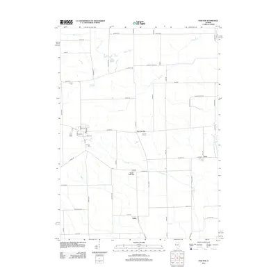
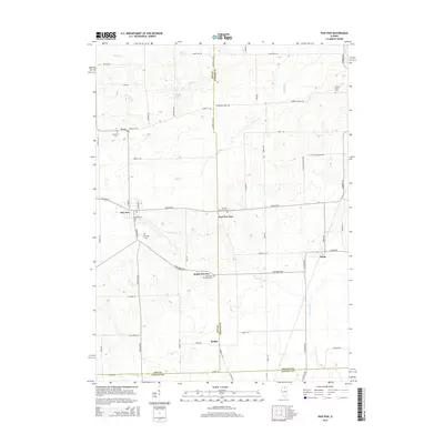
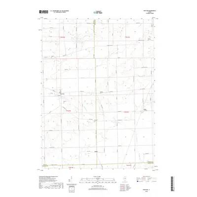
 1971 Paw Paw1973 Print · USGSNorthern Illinois farm country near the intersection of Lee, DeKalb, and La Salle Counties is shown here in the early 1970s. Trace family history at the Wyoming Cemetery, locate the Rogers Brothers Landing Strip, and follow the Chicago Burlington and Northern Railroad through Rollo and Radley.
 - 1971 Map of Earlville, 1973 Print
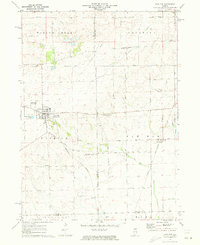
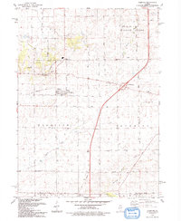
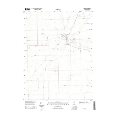
 1971 Earlville1973 Print · USGSIn the early 1970s, the Illinois prairie around Earlville remained a landscape of rail junctions and rural townships. Researchers can trace family history at Tripp Cem or Carter Cem and follow the path of the Old Indian Treaty Boundary.
 - 1982 Map of Compton
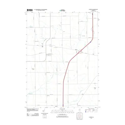
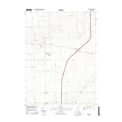
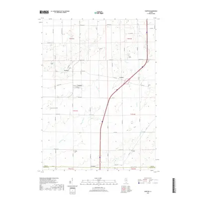
 1982 Compton1982 Print · USGSNorthern Illinois prairie life in the early eighties is mapped here at the junction of the Burlington Northern and Chicago and North Western. Researchers can trace rural lineages through family landmarks like Fisk Cem and the small settlement of The Burg.
 - 1982 Map of Mendota East
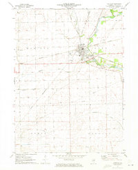
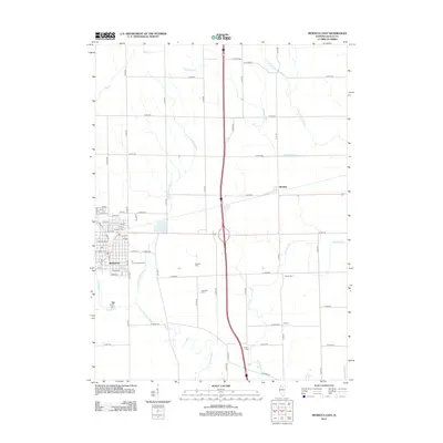
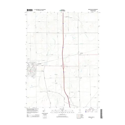
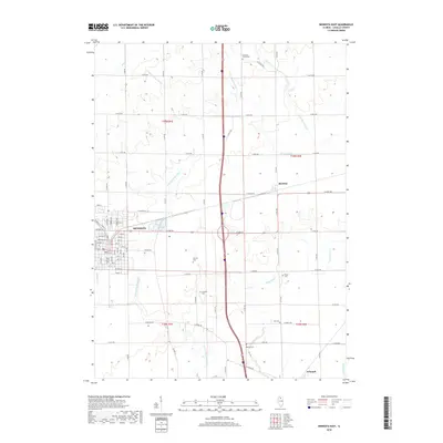
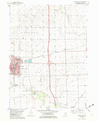 1982 Mendota East1982 Print · USGSLaSalle County's eastern prairies are captured here in the early eighties, showing the transition from the city of Mendota to the agricultural reaches of Meriden. Genealogists can trace family heritage through local landmarks like Holy Cross Sch & PO and the Wisner Cem near the Old Indian Boundary.
 - 1985 Map of Dixon
 1985 Dixon1985 Print · USGSNorth-central Illinois in the mid-eighties was a land of river cities and expansive prairies defined by rail lines and private airfields. Researchers can locate family landmarks like Oakwood Cem, the Sword Landing Strip, and Sauk Valley College while tracing the C & N W railroad.2 unique versions available
 - 1985 Map of Aurora, 1989 Print
 1985 Aurora1989 Print · USGSNortheastern Illinois is captured in the mid-1980s as suburban growth began to bridge the gap between the Fox River cities and the outer prairies. Researchers can trace the development of Naperville and Aurora or locate rural landmarks like Fairview Cem and the Illinois and Michigan Canal.
 - 1993 Map of Compton
 1993 Compton1993 Print · USGSThe Illinois prairie around Compton is shown here in the early nineties as a landscape defined by its agricultural roots and old rail lines. Researchers can trace the Old Railroad Grade through Compton and locate historic sites like Fisk Cem and the settlement of The Burg.
 - 1993 Map of Mendota East
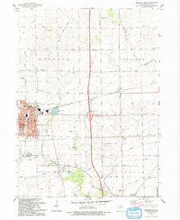 1993 Mendota East1993 Print · USGSLaSalle County agriculture and the growing city of Mendota are captured here during the 1990s. Genealogists can locate several family burial sites like Worsley Cemetery and Wisner Cemetery or trace the Old Indian Reservation Boundary.
 - 2012 Map of Earlville, 2012 Print
 2012 Earlville2012 Print · USGSCovers Meriden Township, including Earlville, Earl Township, and other nearby areas
 - 2012 Map of Paw Paw, 2012 Print
 2012 Paw Paw2012 Print · USGSCovers Meriden Township, including Paw Paw, Paw Paw Township, and other nearby areas
 - 2012 Map of Mendota East, 2012 Print
 2012 Mendota East2012 Print · USGSCovers Meriden Township, including Mendota, Meriden, and other nearby areas
 - 2012 Map of Compton, 2012 Print
 2012 Compton2012 Print · USGSCovers Meriden Township, including Compton, Mendota Township, and other nearby areas
 - 2015 Map of Earlville, 2015 Print
 2015 Earlville2015 Print · USGSCovers Meriden Township, including Earlville, Earl Township, and other nearby areas
 - 2015 Map of Paw Paw, 2015 Print
 2015 Paw Paw2015 Print · USGSCovers Meriden Township, including Paw Paw, Paw Paw Township, and other nearby areas
 - 2015 Map of Mendota East, 2015 Print
 2015 Mendota East2015 Print · USGSCovers Meriden Township, including Mendota, Meriden, and other nearby areas
 - 2015 Map of Compton, 2015 Print
 2015 Compton2015 Print · USGSCovers Meriden Township, including Compton, Mendota Township, and other nearby areas
 - 2018 Map of Earlville, 2018 Print
 2018 Earlville2018 Print · USGSCovers Meriden Township, including Earlville, Earl Township, and other nearby areas
 - 2018 Map of Paw Paw, 2018 Print
 2018 Paw Paw2018 Print · USGSCovers Meriden Township, including Paw Paw, Paw Paw Township, and other nearby areas
 - 2018 Map of Mendota East, 2018 Print
 2018 Mendota East2018 Print · USGSCovers Meriden Township, including Mendota, Meriden, and other nearby areas
 - 2018 Map of Compton, 2018 Print
 2018 Compton2018 Print · USGSCovers Meriden Township, including Compton, Mendota Township, and other nearby areas
 - 2021 Map of Paw Paw, 2021 Print
 2021 Paw Paw2021 Print · USGSCovers Meriden Township, including Paw Paw, Paw Paw Township, and other nearby areas
Showing maps 1-25 of 32
Top cities near Meriden Township
- Peru historical maps
- LaSalle historical maps
- Mendota historical maps
- Spring Valley historical maps
- Dayton historical maps
- Earlville historical maps
See more
Top neighborhoods of Meriden Township
Frequently asked questions
- What are the different types of historical maps available for Meriden Township?
- What is the oldest map of Meriden Township?
- Where can I purchase historical maps of Meriden Township for my home or office?
- Where can I download high-res historical maps of Meriden Township?
- Are there historical topographic maps available for Meriden Township?
- Is there historical aerial imagery available for Meriden Township?
- Where are historical maps of Meriden Township sourced from?