Old Maps of Ocoya, Illinois for Genealogy
Trace your family roots with 14 historic maps of Ocoya. These high-res maps reveal old neighborhoods, homesites, landmarks, and streets — helping you uncover where your ancestors lived and how the area evolved over time.
- Explore historic neighborhoods: Identify where your relatives may have lived in the 1800s or 1900s.
- Compare maps over time: Trace the changes in streets, buildings, and landmarks for multi-generational research.
- Perfect for genealogy & ancestry research: Used by family historians and researchers to map out lineage and migration.
These maps are an incredible resource for exploring your personal connection to Ocoya's past.
Ocoya, IL maps
(14)- 1935 Map of Pontiac, 1968 Print
 1935 Pontiac1968 Print · USGSLivingston County in the mid-1930s is a landscape of thriving rail-side towns and small agricultural townships. Researchers can trace the lineage of early rural education and community at State Reformatory, Eppards Point Ch, and Bunnard Cem.2 unique versions available
 - 1939 Map of Pontiac
 1939 Pontiac1939 Print · USGSLivingston County in the late 1930s reveals a landscape of productive prairie farmland and vital rail junctions centered on Pontiac. Researchers can trace the heritage of rural communities through dozens of country schoolhouses like Edgewood Sch and the grounds of the State Retormatory.2 unique versions available
 - 1958 Map of Peoria, 1969 Print
 1958 Peoria1969 Print · USGSCentral Illinois thrived as a hub of education and transport during the late sixties, as the new interstate system began to reshape the prairie. Genealogists and historians can trace local landmarks like Springdale Cem, Bradley University, and the sprawling grounds of Chanute AFB.4 unique versions available
 - 1961 Map of Peoria
 1961 Peoria1961 Print · USGSCentral Illinois thrived at the intersection of river trade and rail power during the late fifties. Genealogists and local historians can trace the rail networks of the Illinois Central and Wabash, alongside landmarks like Chanute AFB and Weldon Springs State Park.
 - 1963 Map of Peoria
 1963 Peoria1963 Print · USGSCentral Illinois thrived as a rail and highway crossroads during the early sixties, centered on the bustling Illinois River valley. Genealogists and historians can trace the mid-century layout of Peoria, locate the grounds of Chanute Air Force Base, and follow historic lines like the Toledo Peoria and Western Railway.
 - 1983 Map of Southwest Pontiac
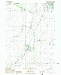 1983 Southwest Pontiac1983 Print · USGSLivingston County in the early eighties shows a landscape shaped by rail, aviation, and institutional history. Researchers can trace the grounds of the State Correctional Center or locate smaller sites like Ocoya and Payne Cem.
 - 1985 Map of Fairbury
 1985 Fairbury1985 Print · USGSCentral Illinois in the mid-1980s reveals a landscape shaped by the Illinois Central Gulf rail network and the Vermilion River basin. Trace the roots of local communities from Fairbury to Pontiac, and locate landmarks like the State Correctional Center and High Chapel.2 unique versions available
 - 1990 Map of Peoria
 1990 Peoria1990 Print · USGSCentral Illinois at the start of the nineties reveals a landscape of industrial river towns and sprawling university campuses. Researchers can trace the legacy of major institutions like Chanute Air Force Base and the University of Illinois alongside regional landmarks such as Sand Ridge State Forest.
 - 1998 Map of Southwest Pontiac, 2003 Print
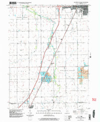 1998 Southwest Pontiac2003 Print · USGSThe rural landscape between Pontiac and Chenoa is captured at the end of the century as the region balanced farming with industrial growth. Local researchers can trace family landmarks like Rooks Creek Cem or the extractive operations at the Ocoya quarries.
 - 2012 Map of Southwest Pontiac, 2012 Print
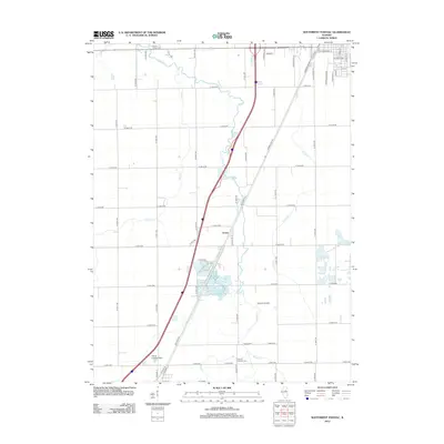 2012 Southwest Pontiac2012 Print · USGSThe rural expanses southwest of Pontiac are captured in the early twenty-first century, centered on the legacy of the Mother Road. Local researchers can trace family plots at Calvary Catholic Cem and locate historic transit points like Ocoya along Old Route 66.
 - 2015 Map of Southwest Pontiac, 2015 Print
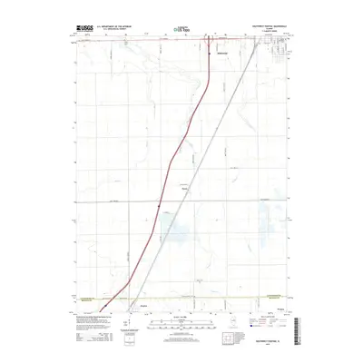 2015 Southwest Pontiac2015 Print · USGSLivingston and McLean Counties are shown here during the mid-2010s as modern transit routes intersect with historic pathways. Researchers can trace the path of Old Route 66 or locate family plots at Rook's Creek Cem and Calvary Catholic Cem.
 - 2018 Map of Southwest Pontiac, 2018 Print
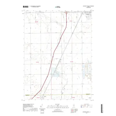 2018 Southwest Pontiac2018 Print · USGSThe rural landscapes south of Pontiac and near Chenoa are captured here in the late 2010s. Researchers can trace the path of Old Rte 66 and locate local landmarks like the Calvary Catholic Cem and Rooks Creek.
 - 2021 Map of Southwest Pontiac, 2021 Print
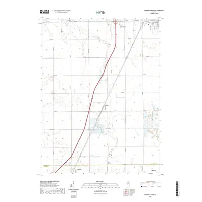 2021 Southwest Pontiac2021 Print · USGSLivingston County's agricultural heartland is documented here in the early twenty-first century, centered on the historic corridor of Old Rte 66. Researchers can locate rural landmarks such as Ocoya, Calvary Catholic Cem, and the meandering path of Rooks Creek.
 - 2024 Map of Southwest Pontiac, 2024 Print
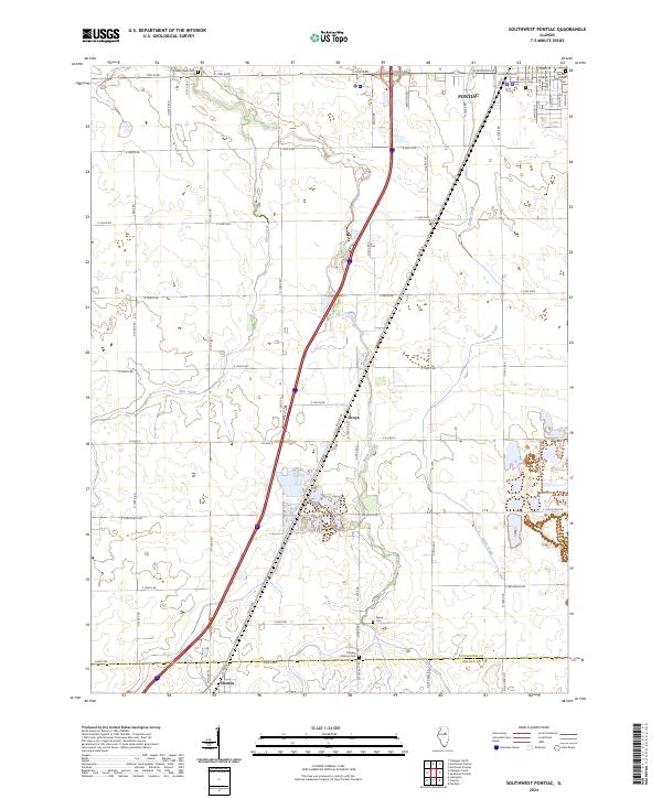 2024 Southwest Pontiac2024 Print · USGSThe Illinois prairie south of Pontiac remains a landscape of deep-rooted agriculture and historic transit corridors. Genealogists can locate family sites near Ocoya or at the Rooks Creek Cem, while historians can trace the path of Old Rte 66.
End of results
Showing maps 1-14 of 14
Top cities near Ocoya
- Pontiac historical maps
- Fairbury historical maps
- Lexington historical maps
- Chenoa historical maps
- Gridley historical maps
- Flanagan historical maps
See more
Frequently asked questions
- What are the different types of historical maps available for Ocoya?
- What is the oldest map of Ocoya?
- Where can I purchase historical maps of Ocoya for my home or office?
- Where can I download high-res historical maps of Ocoya?
- Are there historical topographic maps available for Ocoya?
- Is there historical aerial imagery available for Ocoya?
- Where are historical maps of Ocoya sourced from?