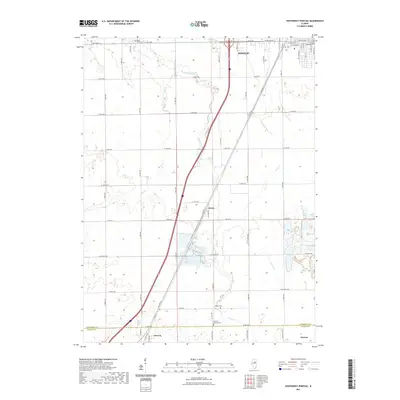
2021 Map of Southwest Pontiac
USGS Topo · Published 2021About this map
Pontiac sits at the northern edge of this Illinois prairie landscape, where the street grid transitions into a vast network of agricultural section lines and drainage ways. The southern outskirts of town are marked by Southside Cem, while the historic corridor of Old Rte 66 cuts diagonally across the terrain, passing through the small community of Ocoya. This transportation artery runs parallel to the modern interstate, tracing a path through the heart of the county's farmland.
Find a feature on this map
51 named features on this map. Tap any name to fly to it.
Don’t see what you’re looking for? This feature index may not catch every label — zoom into the map to look around manually.
Map Details
Editions of this 2021 Southwest Pontiac Map
This is the sole edition of this map. No revisions or reprints were ever made.
Other maps of this area

1926 · Normal
USGS Topo · 1:62,500

1930 · Normal
USGS Topo · 1:62,500

1935 · Pontiac
USGS Topo · 1:62,500

1939 · Pontiac
USGS Topo · 1:62,500

1957 · Colfax
USGS Topo · 1:62,500

1958 · Flanagan
USGS Topo · 1:62,500

1958 · Peoria
USGS Topo · 1:250,000

1961 · Peoria
USGS Topo · 1:250,000

1963 · Peoria
USGS Topo · 1:250,000

1981 · Lexington
USGS Topo · 1:24,000