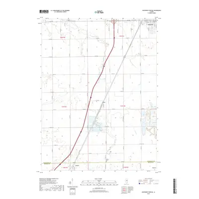
2018 Map of Southwest Pontiac
USGS Topo · Published 2018About this map
The agrarian landscape south of Pontiac is defined by the steady paths of Rooks Creek and Turtle Cr, which cut through the level terrain of Livingston County. This 2018 survey highlights the historical transport corridor of Old Rte 66, running parallel to modern infrastructure between the small settlements of Ocoya and Chenoa. For genealogists, the map provides precise locations for several burial grounds, including the Pontiac Southside Cem near the city limits and the rural Rooks Creek Cem to the northwest. The intersection of local county roads like Co HWY 8 and E 1500 N RD reveals the enduring grid of the Public Land Survey System. In the southern portion of the quadrangle, the transition across the Livingston and McLean County line is marked near the community of Weston, where the rural character remains largely unchanged from earlier eras.
Find a feature on this map
62 named features on this map. Tap any name to fly to it.
Don’t see what you’re looking for? This feature index may not catch every label — zoom into the map to look around manually.
Map Details
Editions of this 2018 Southwest Pontiac Map
This is the sole edition of this map. No revisions or reprints were ever made.
Other maps of this area

1926 · Normal
USGS Topo · 1:62,500

1930 · Normal
USGS Topo · 1:62,500

1935 · Pontiac
USGS Topo · 1:62,500

1939 · Pontiac
USGS Topo · 1:62,500

1957 · Colfax
USGS Topo · 1:62,500

1958 · Flanagan
USGS Topo · 1:62,500

1958 · Peoria
USGS Topo · 1:250,000

1961 · Peoria
USGS Topo · 1:250,000

1963 · Peoria
USGS Topo · 1:250,000

1981 · Lexington
USGS Topo · 1:24,000