Old Maps of Virden, Illinois for Hiking & Exploration
Hike through history with 23 historic maps of Virden. Explore old trails, ghost towns, and forgotten backroads — perfect for outdoor adventurers and local explorers.
- Rediscover forgotten places: Map out old mining camps, roads, and footpaths that no longer exist on modern maps.
- Layer with modern tools: Combine with LiDAR or satellite views to plan hikes through historical terrain.
- Made for exploration: Popular among hikers, overlanders, and local history lovers.
Use these maps to find adventure and explore the hidden past of Virden.
Virden, IL maps
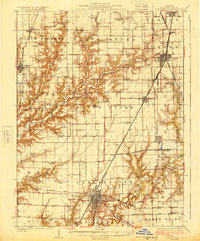
(23)- 1923 Map of Carlinville
 1923 Carlinville1923 Print · USGSMacoupin County in the early twenties reveals a landscape connected by the Illinois Traction System and scores of one-room schoolhouses. Genealogists can locate family landmarks like Bethel Cem, Liberty Church, and dozens of named rural schools from Franklin School to Cherry Grove School.
 - 1924 Map of Waverly
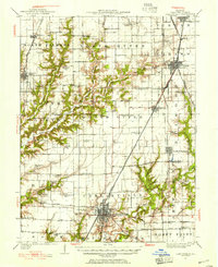
 1924 Waverly1924 Print · USGSCentral Illinois at the height of the rail era shows a landscape dotted with country schoolhouses and bustling farming hubs. Trace the path of the Illinois Traction and locate family sites near Mound Seminary School or McClain Church.2 unique versions available
 - 1925 Map of Carlinville
 1925 Carlinville1925 Print · USGSMacoupin County in the mid-1920s reveals a landscape defined by busy rail junctions and a dense network of country school districts. Genealogists can trace family roots through dozens of local landmarks like Antioch Church, Womac Station, and Dressor Mill School.2 unique versions available
 - 1926 Map of Waverly
 1926 Waverly1926 Print · USGSIn the mid-1920s, this portion of central Illinois was a bustling intersection of steam railroads and electric interurbans. Genealogists can trace the rural communities of Waverly, New Berlin, and Loami, alongside dozens of local landmarks like Rohrer Church and the Highwater Mark School.2 unique versions available
 - 1931 Map of Carlinville, 1955 Print
 1931 Carlinville1955 Print · USGSMacoupin County in the early thirties is captured here as a bustling network of rail lines and rural school districts. Researchers can trace the paths of the Illinois Traction System and locate dozens of local landmarks like Coops Mound, Antioch Church, and Grimmett School.3 unique versions available
 - 1958 Map of Decatur, 1971 Print
 1958 Decatur1971 Print · USGSCentral Illinois in the mid-twentieth century shows a landscape defined by industrial rail hubs and the creation of large reservoirs. Researchers can trace historic corridors like the Penn Central or locate landmarks such as Lincoln Log Cabin State Park and Lake Springfield.3 unique versions available
 - 1961 Map of Decatur
 1961 Decatur1961 Print · USGSCentral Illinois in the late fifties was a bustling corridor of rail lines and prairie commerce centered on the state capital. Genealogists and historians can trace the intricate connections between Springfield, Decatur, and dozens of smaller settlements like Nokomis and Arcola.2 unique versions available
 - 1979 Map of Virden South, 1980 Print
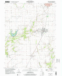
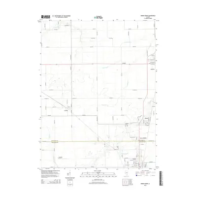
 1979 Virden South1980 Print · USGSCentral Illinois rail and agricultural life are on full display in the late seventies near the Macoupin County line. Genealogists and historians can trace the paths of the Gulf Mobile and Ohio through Nilwood, find rural burials at Ross Cem, or locate the site of Townhall.
 - 1982 Map of Litchfield
 1982 Litchfield1982 Print · USGSThe coal and rail corridors of Central Illinois are captured here in the early eighties as the region balanced industrial mining with its agricultural roots. Researchers can trace family history through sites like Zelmer Memorial Cemetery or the grounds of Blackburn College and the Crown Mine No 1.
 - 1983 Map of Virden North
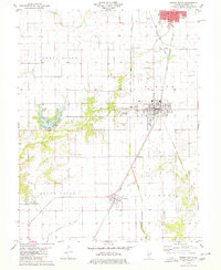
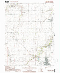
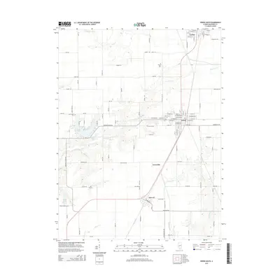
 1983 Virden North1983 Print · USGSMidwestern prairie life is captured here in the early eighties as the rail lines through Auburn and Virden shaped local commerce. Genealogists and historians can trace family plots at Virden Cem or locate industrial sites like the Mine Shaft near Thayer.
 - 1985 Map of Springfield
 1985 Springfield1985 Print · USGSCentral Illinois during the mid-eighties shows a landscape of growing state capital influence and deep historical roots. Genealogists and historians can trace family sites near Oak Ridge Cem or follow the path of the Sangamon River past Williamsville and Riverton.2 unique versions available
 - 1998 Map of Virden North, 2002 Print
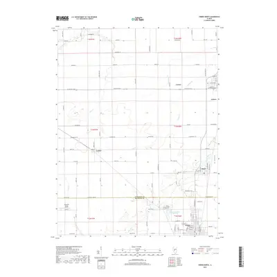
 1998 Virden North2002 Print · USGSThe Sangamon and Macoupin county border area is captured here in the late 1990s, showcasing the persistent layout of historic mining and farming towns. Genealogists and local historians can trace family locations near Lowder, the West Cemetery, and the coal-era Abandoned Railroad corridor.
 - 1998 Map of Virden South, 2002 Print
 1998 Virden South2002 Print · USGSMacoupin County at the close of the twentieth century shows a landscape of steady agricultural townships and growing lakefront areas. Researchers can trace family sites near Pleasant Hill Cemetery, explore the streets of Girard, or locate the Union Chapel and Sunset Lake shoreline.
 - 2012 Map of Virden North, 2012 Print
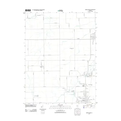 2012 Virden North2012 Print · USGSCovers Virden, including Auburn, Thayer, and other nearby areas
 - 2012 Map of Virden South, 2012 Print
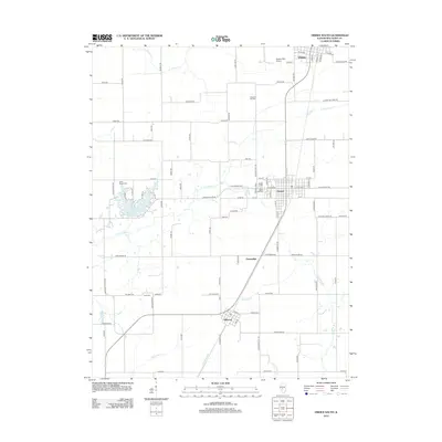 2012 Virden South2012 Print · USGSCovers Virden, including Girard, Nilwood, and other nearby areas
 - 2015 Map of Virden South, 2015 Print
 2015 Virden South2015 Print · USGSCovers Virden, including Girard, Nilwood, and other nearby areas
 - 2015 Map of Virden North, 2015 Print
 2015 Virden North2015 Print · USGSCovers Virden, including Auburn, Thayer, and other nearby areas
 - 2018 Map of Virden North, 2018 Print
 2018 Virden North2018 Print · USGSCovers Virden, including Auburn, Thayer, and other nearby areas
 - 2018 Map of Virden South, 2018 Print
 2018 Virden South2018 Print · USGSCovers Virden, including Girard, Nilwood, and other nearby areas
 - 2021 Map of Virden North, 2021 Print
 2021 Virden North2021 Print · USGSCovers Virden, including Auburn, Thayer, and other nearby areas
 - 2021 Map of Virden South, 2021 Print
 2021 Virden South2021 Print · USGSCovers Virden, including Girard, Nilwood, and other nearby areas
 - 2024 Map of Virden South, 2024 Print
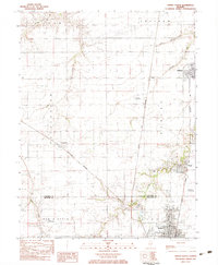
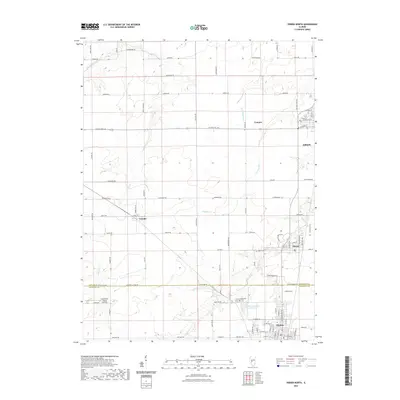
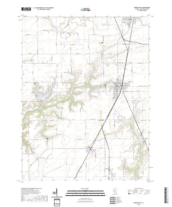 2024 Virden South2024 Print · USGSSettled prairies and deep creek valleys define this Macoupin County corridor as it appeared in recent years. Researchers can trace the lineage of local families through Union Chapel Cem and Girard Cem, or follow old travel routes like Old RTE 4.
 - 2024 Map of Virden North, 2024 Print
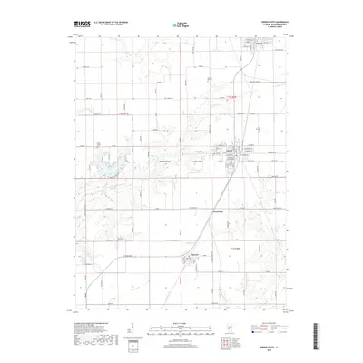
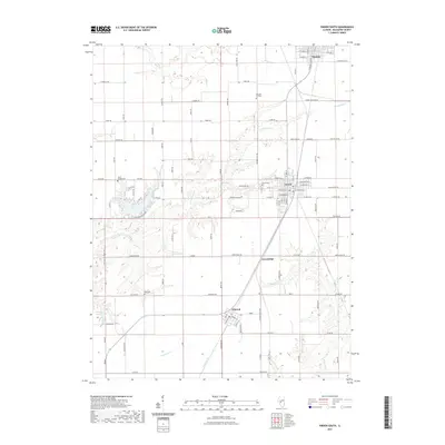
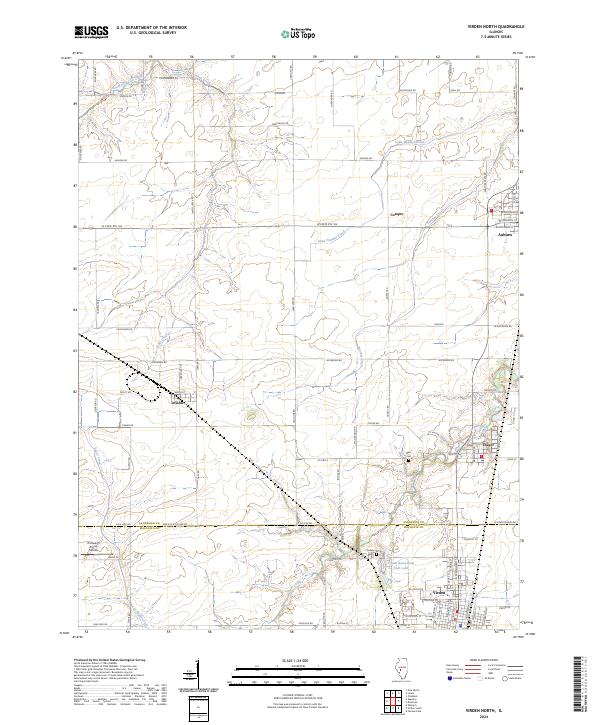 2024 Virden North2024 Print · USGSSangamon and Macoupin counties meet in this detailed survey of Central Illinois agriculture and settlement. Researchers can trace family history through locations like Lowder, Thayer, and Virden Cem, or locate landmarks like Holzwarth Flying Service.
End of results
Showing maps 1-23 of 23
Top cities near Virden
- Springfield historical maps
- Woodside historical maps
- Chatham historical maps
- Carlinville historical maps
- Auburn historical maps
- Rochester historical maps
See more
Frequently asked questions
- What are the different types of historical maps available for Virden?
- What is the oldest map of Virden?
- Where can I purchase historical maps of Virden for my home or office?
- Where can I download high-res historical maps of Virden?
- Are there historical topographic maps available for Virden?
- Is there historical aerial imagery available for Virden?
- Where are historical maps of Virden sourced from?