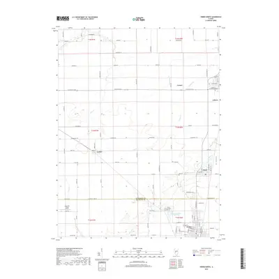
2018 Map of Virden North
USGS Topo · Published 2018About this map
The agricultural landscape of the Sangamon-Macoupin county line is defined by a grid of rural routes and the headwaters of numerous creeks in this 2018 survey. The small community of Lowder sits centrally, while larger settlements like Auburn and Thayer anchor the eastern edge. A significant portion of the town of Virden is visible at the southern margin, providing a clear look at its street plan and the Virden City Cemetery.
Find a feature on this map
86 named features on this map. Tap any name to fly to it.
Don’t see what you’re looking for? This feature index may not catch every label — zoom into the map to look around manually.
Map Details
Editions of this 2018 Virden North Map
This is the sole edition of this map. No revisions or reprints were ever made.
Other maps of this area

1922 · Divernon
USGS Topo · 1:62,500

1923 · Carlinville
USGS Topo · 1:48,000

1923 · Raymond
USGS Topo · 1:62,500

1924 · Divernon
USGS Topo · 1:62,500

1924 · Waverly
USGS Topo · 1:62,500

1925 · Carlinville
USGS Topo · 1:62,500

1925 · Raymond
USGS Topo · 1:62,500

1926 · Waverly
USGS Topo · 1:62,500

1931 · Carlinville
USGS Topo · 1:62,500

1958 · Decatur
USGS Topo · 1:250,000