2000s (21st Century) Maps of Forreston Township, Illinois
Explore 20 historic maps of Forreston Township from the 2000s (21st Century). These maps offer a rare glimpse into what life looked like during the 2000s — showing old roads, neighborhoods, homes, and landmarks that have changed or disappeared over time.
Whether you're researching your family's past, planning a metal detecting trip, or studying how Forreston Township's landscape evolved across the 2000s, these high-resolution maps are a powerful tool for exploring the history of this region.
- Focus on a specific era: All maps on this page are from the 2000s, giving you a focused view of this time period.
- See what’s changed: Compare century-old streets, trails, and buildings to today's modern landscape using overlays and satellite layers.
- Research with precision: Use these maps for genealogy, historical research, land use analysis, or educational projects.
- View, download, or print: Maps are fully viewable online in high resolution, and can be downloaded or printed for your own records.
Start exploring Forreston Township's history through authentic maps from the 2000s. This is your window into the past.
Forreston Township, IL maps
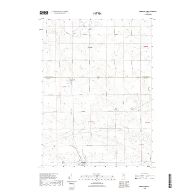
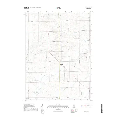
(20)- 2012 Map of Brookville, 2012 Print
 2012 Brookville2012 Print · USGSCovers Forreston Township, including Elkhorn Grove, Brookville, and other nearby areas
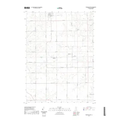
 - 2012 Map of Forreston North, 2012 Print
 2012 Forreston North2012 Print · USGSCovers Forreston Township, including Forreston, South Freeport, and other nearby areas
 - 2012 Map of Forreston South, 2012 Print
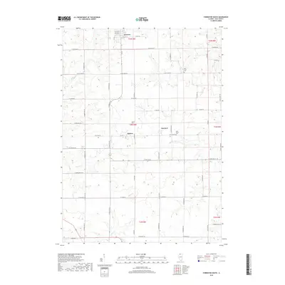
 2012 Forreston South2012 Print · USGSCovers Forreston Township, including Forreston, Maryland, and other nearby areas
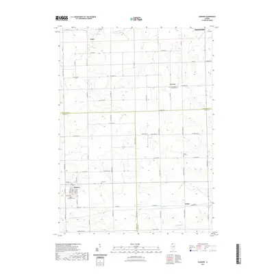
 - 2012 Map of Shannon, 2012 Print
 2012 Shannon2012 Print · USGSCovers Forreston Township, including Freeport, Florence, and other nearby areas
 - 2015 Map of Forreston South, 2015 Print
 2015 Forreston South2015 Print · USGSCovers Forreston Township, including Forreston, Maryland, and other nearby areas
 - 2015 Map of Brookville, 2015 Print
 2015 Brookville2015 Print · USGSCovers Forreston Township, including Elkhorn Grove, Brookville, and other nearby areas
 - 2015 Map of Forreston North, 2015 Print
 2015 Forreston North2015 Print · USGSCovers Forreston Township, including Forreston, South Freeport, and other nearby areas
 - 2015 Map of Shannon, 2015 Print
 2015 Shannon2015 Print · USGSCovers Forreston Township, including Freeport, Florence, and other nearby areas
 - 2018 Map of Forreston North, 2018 Print
 2018 Forreston North2018 Print · USGSCovers Forreston Township, including Forreston, South Freeport, and other nearby areas
 - 2018 Map of Forreston South, 2018 Print
 2018 Forreston South2018 Print · USGSCovers Forreston Township, including Forreston, Maryland, and other nearby areas
 - 2018 Map of Brookville, 2018 Print
 2018 Brookville2018 Print · USGSCovers Forreston Township, including Elkhorn Grove, Brookville, and other nearby areas
 - 2018 Map of Shannon, 2018 Print
 2018 Shannon2018 Print · USGSCovers Forreston Township, including Freeport, Florence, and other nearby areas
 - 2021 Map of Brookville, 2021 Print
 2021 Brookville2021 Print · USGSCovers Forreston Township, including Elkhorn Grove, Brookville, and other nearby areas
 - 2021 Map of Forreston North, 2021 Print
 2021 Forreston North2021 Print · USGSCovers Forreston Township, including Forreston, South Freeport, and other nearby areas
 - 2021 Map of Forreston South, 2021 Print
 2021 Forreston South2021 Print · USGSCovers Forreston Township, including Forreston, Maryland, and other nearby areas
 - 2021 Map of Shannon, 2021 Print
 2021 Shannon2021 Print · USGSCovers Forreston Township, including Freeport, Florence, and other nearby areas
 - 2024 Map of Forreston North, 2024 Print
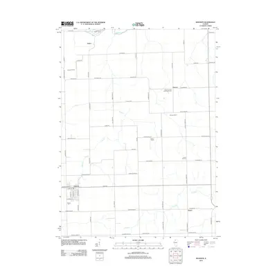
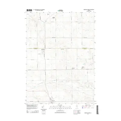
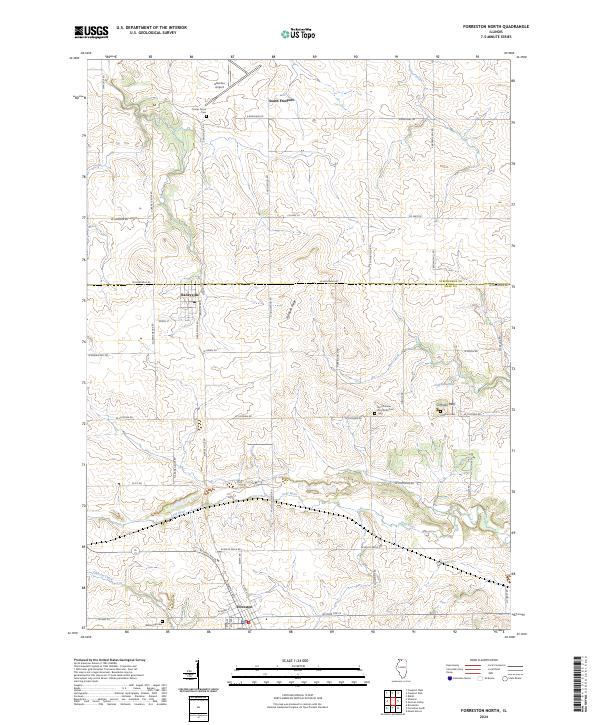 2024 Forreston North2024 Print · USGSThe Stephenson and Ogle county line comes alive in this current-era survey of the Illinois prairie. Researchers can trace rural lineages at Cranes Grove Cem or explore the river-and-ridge landscape around Coffman Bluff and Baileyville.
 - 2024 Map of Brookville, 2024 Print
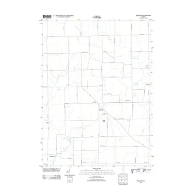
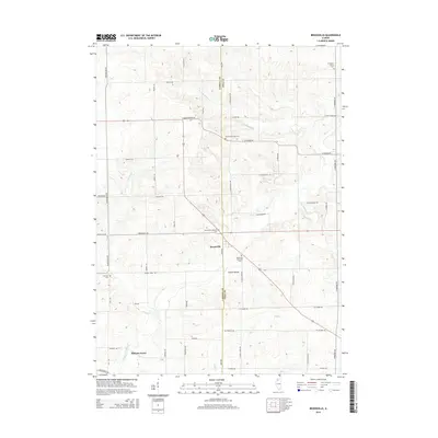
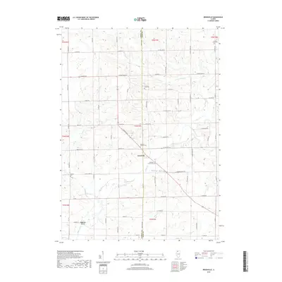
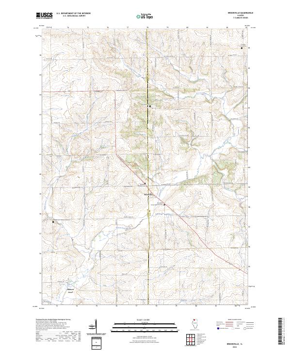 2024 Brookville2024 Print · USGSNorthern Illinois farmland and the village of Brookville are captured in this contemporary survey. Genealogists can trace family sites at Chambers Grove Cem, Schriner Cem, and along the banks of Elkhorn Creek.
 - 2024 Map of Shannon, 2024 Print
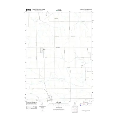
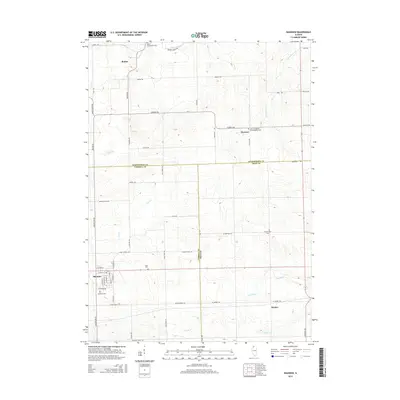
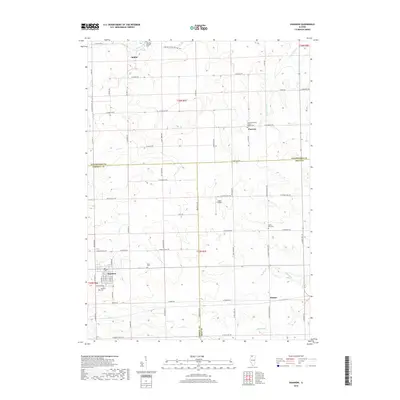
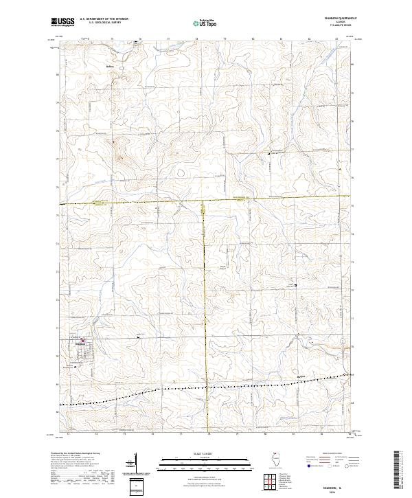 2024 Shannon2024 Print · USGSNorthwestern Illinois farmland meets at the intersection of three counties in this contemporary topographical study. Researchers can locate several distinct burial grounds including Shelly Cemetery and Shannon Brethren Cemetery near the village of Shannon.
 - 2024 Map of Forreston South, 2024 Print
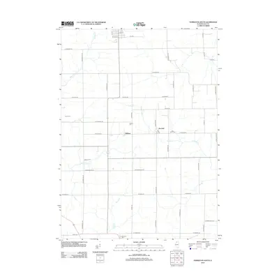
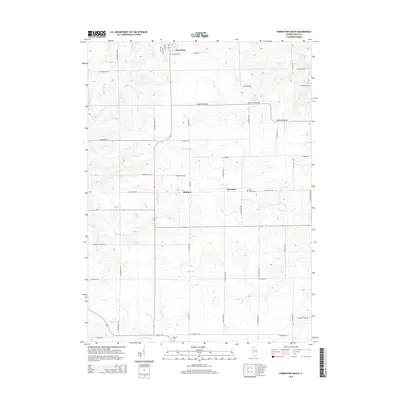
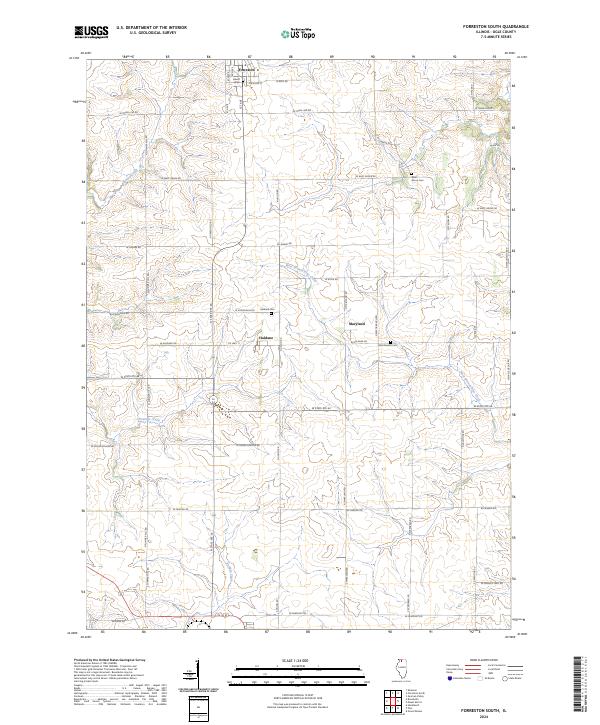 2024 Forreston South2024 Print · USGSOgle County's agricultural heartland is documented here in the early twenty-first century, showing the enduring rural layout of the Illinois prairie. Genealogists can locate family burial sites at Haldane Cem and West Branch Cem near the settlement of Haldane.
End of results
Showing maps 1-20 of 20
Top cities near Forreston Township
- Freeport historical maps
- Mount Morris historical maps
- Lena historical maps
- Polo historical maps
- Forreston historical maps
- Lanark historical maps
See more
Top neighborhoods of Forreston Township
Frequently asked questions
- What are the different types of historical maps available for Forreston Township?
- What is the oldest map of Forreston Township?
- Where can I purchase historical maps of Forreston Township for my home or office?
- Where can I download high-res historical maps of Forreston Township?
- Are there historical topographic maps available for Forreston Township?
- Is there historical aerial imagery available for Forreston Township?
- Where are historical maps of Forreston Township sourced from?