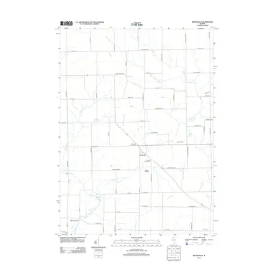
2012 Map of Brookville
USGS Topo · Published 2012About this map
Brookville serves as the central hub of this agricultural region in Carroll County, where the landscape is defined by the dendritic drainage patterns of Elkhorn Cr and its various branches. The area maintains its rural character with long-established property boundaries and a network of section-line roads, including Ogle Rd and Shannon Rte. Local history and genealogy are well-represented by several burial sites, such as the Brookville Township Cem and the Schriner Cem located near the western edge of the quadrangle. In the southern reaches, the settlement of Elkhorn Grove sits near the winding path of Middle Cr. The terrain is punctuated by small hollows and family-held land like Folkers Farm, illustrating the persistent farming tradition of Northern Illinois. Other notable landmarks include the Rock River Camp and the small locality of Goose Hollow, both situated along the township's interior corridors.
Find a feature on this map
57 named features on this map. Tap any name to fly to it.
Don’t see what you’re looking for? This feature index may not catch every label — zoom into the map to look around manually.
Map Details
Editions of this 2012 Brookville Map
This is the sole edition of this map. No revisions or reprints were ever made.
Other maps of this area

1930 · Woodsung
USGS Topo · 1:48,000

1934 · Morrison
USGS Topo · 1:48,000

1940 · Morrison
USGS Topo · 1:62,500

1942 · Mt Carroll
USGS Topo · 1:62,500

1942 · Forreston
USGS Topo · 1:62,500

1944 · Mt Carroll
USGS Topo · 1:62,500

1945 · Forreston
USGS Topo · 1:62,500

1946 · Sterling
USGS Topo · 1:62,500

1948 · Sterling
USGS Topo · 1:62,500

1954 · Rockford
USGS Topo · 1:250,000