2000s (21st Century) Maps of Danville, Illinois
Explore 22 historic maps of Danville from the 2000s (21st Century). These maps offer a rare glimpse into what life looked like during the 2000s — showing old roads, neighborhoods, homes, and landmarks that have changed or disappeared over time.
Whether you're researching your family's past, planning a metal detecting trip, or studying how Danville's landscape evolved across the 2000s, these high-resolution maps are a powerful tool for exploring the history of this region.
- Focus on a specific era: All maps on this page are from the 2000s, giving you a focused view of this time period.
- See what’s changed: Compare century-old streets, trails, and buildings to today's modern landscape using overlays and satellite layers.
- Research with precision: Use these maps for genealogy, historical research, land use analysis, or educational projects.
- View, download, or print: Maps are fully viewable online in high resolution, and can be downloaded or printed for your own records.
Start exploring Danville's history through authentic maps from the 2000s. This is your window into the past.
Danville, IL maps
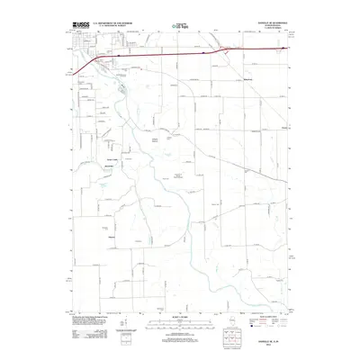
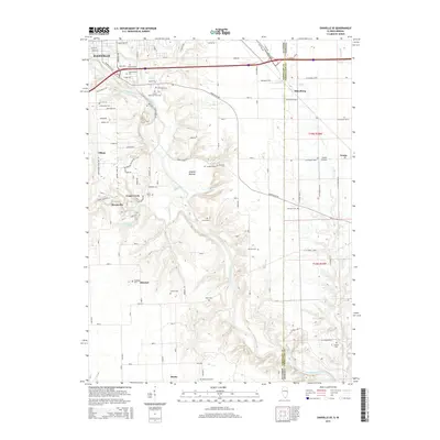
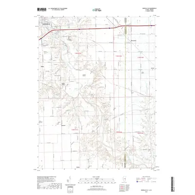
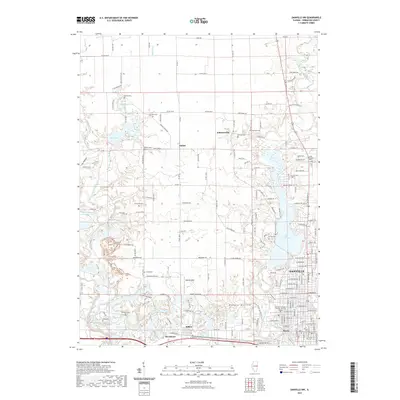
(22)- 2010 Map of Danville NE, 2010 Print
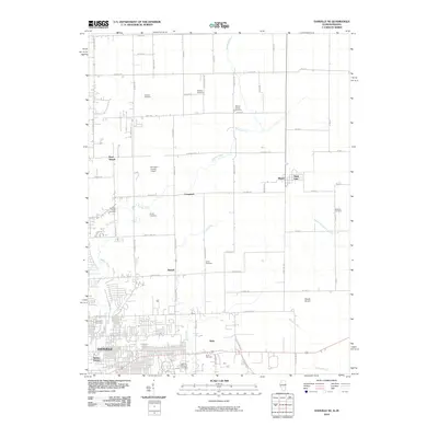 2010 Danville NE2010 Print · USGSCovers Danville, including Illiana, State Line, and other nearby areas
 - 2010 Map of Danville SE, 2010 Print
 2010 Danville SE2010 Print · USGSCovers Danville, including Tilton, Grape Creek, and other nearby areas
 - 2012 Map of Danville SW, 2012 Print
 2012 Danville SW2012 Print · USGSCovers Danville, including Westville, Tilton, and other nearby areas
 - 2012 Map of Danville NW, 2012 Print
 2012 Danville NW2012 Print · USGSCovers Danville, including Hartshorn, Johnsonville, and other nearby areas
 - 2012 Map of Danville SE, 2012 Print
 2012 Danville SE2012 Print · USGSCovers Danville, including Tilton, Grape Creek, and other nearby areas
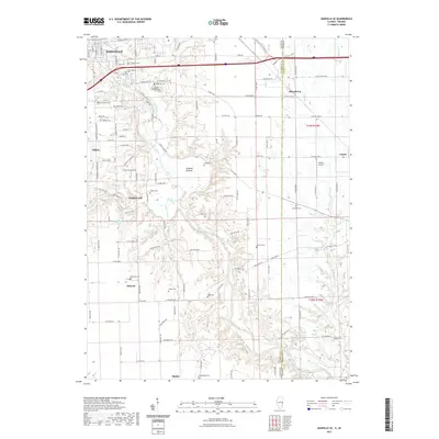
 - 2012 Map of Danville NE, 2012 Print
 2012 Danville NE2012 Print · USGSCovers Danville, including Illiana, State Line, and other nearby areas
 - 2015 Map of Danville NW, 2015 Print
 2015 Danville NW2015 Print · USGSCovers Danville, including Hartshorn, Johnsonville, and other nearby areas
 - 2015 Map of Danville SW, 2015 Print
 2015 Danville SW2015 Print · USGSCovers Danville, including Westville, Tilton, and other nearby areas
 - 2015 Map of Danville SE, 2015 Print
 2015 Danville SE2015 Print · USGSCovers Danville, including Tilton, Grape Creek, and other nearby areas
 - 2015 Map of Danville NE, 2015 Print
 2015 Danville NE2015 Print · USGSCovers Danville, including Illiana, State Line, and other nearby areas
 - 2018 Map of Danville NW, 2018 Print
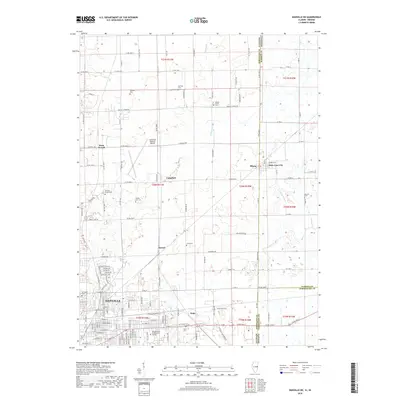
 2018 Danville NW2018 Print · USGSCovers Danville, including Hartshorn, Johnsonville, and other nearby areas
 - 2018 Map of Danville NE, 2018 Print
 2018 Danville NE2018 Print · USGSCovers Danville, including Illiana, State Line, and other nearby areas
 - 2018 Map of Danville SE, 2018 Print
 2018 Danville SE2018 Print · USGSCovers Danville, including Tilton, Grape Creek, and other nearby areas
 - 2018 Map of Danville SW, 2018 Print
 2018 Danville SW2018 Print · USGSCovers Danville, including Westville, Tilton, and other nearby areas
 - 2021 Map of Danville NE, 2021 Print
 2021 Danville NE2021 Print · USGSCovers Danville, including Illiana, State Line, and other nearby areas
 - 2021 Map of Danville SE, 2021 Print
 2021 Danville SE2021 Print · USGSCovers Danville, including Tilton, Grape Creek, and other nearby areas
 - 2021 Map of Danville SW, 2021 Print
 2021 Danville SW2021 Print · USGSCovers Danville, including Westville, Tilton, and other nearby areas
 - 2021 Map of Danville NW, 2021 Print
 2021 Danville NW2021 Print · USGSCovers Danville, including Hartshorn, Johnsonville, and other nearby areas
 - 2024 Map of Danville NW, 2024 Print
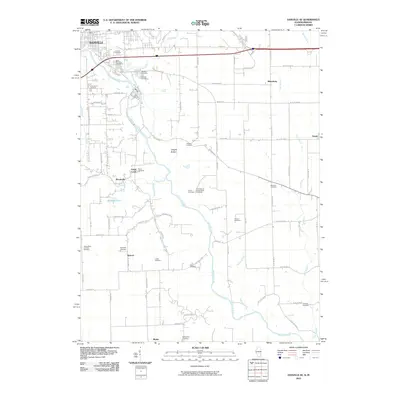
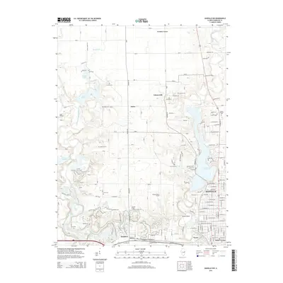
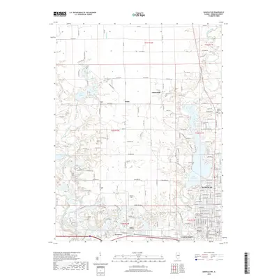
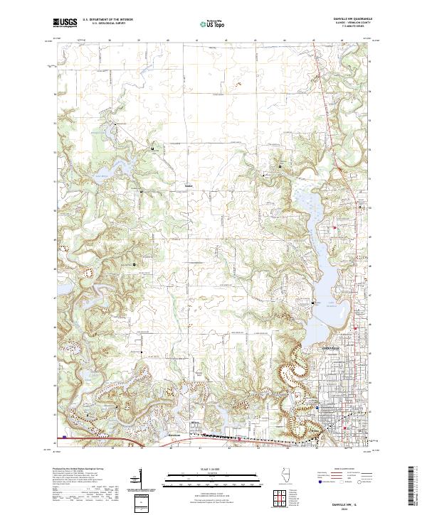 2024 Danville NW2024 Print · USGSVermilion County's river valleys and the outskirts of Danville are captured here in the mid-2020s. Genealogists and local historians can trace family plots at Bethel Cem, Thurman Cem, and Sunset Memorial Cem alongside the waters of Lake Mingo.
 - 2024 Map of Danville NE, 2024 Print
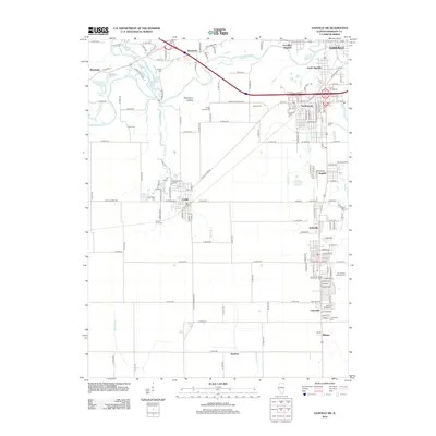
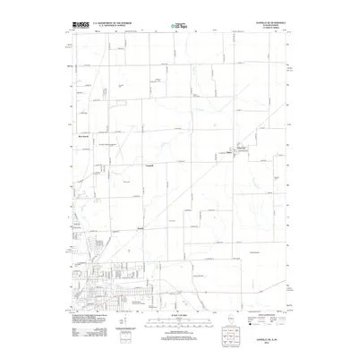
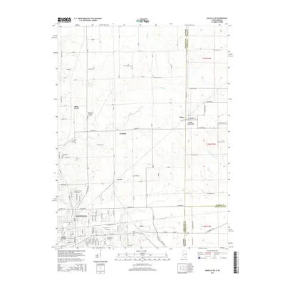
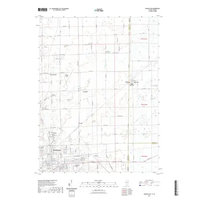
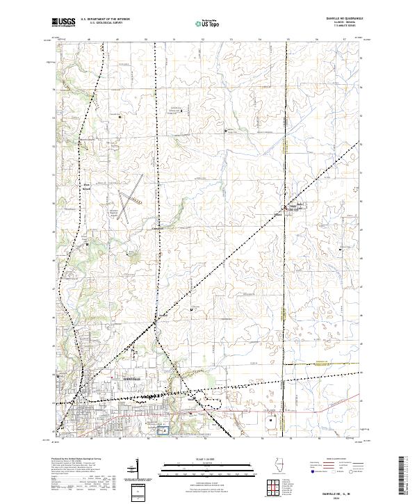 2024 Danville NE2024 Print · USGSDanville and the Illinois-Indiana borderlands are captured here in the twenty-first century, showing the meeting of town and country. Genealogists and historians can trace numerous rural burial grounds like Brierly Cem and Lynch Cem, or explore the historic border settlements of Illiana and State Line City.
 - 2024 Map of Danville SW, 2024 Print
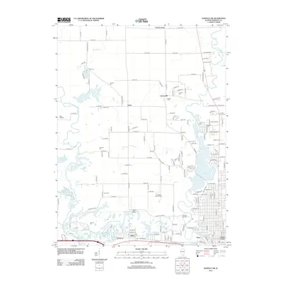
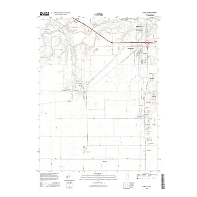
 2024 Danville SW2024 Print · USGSVermilion County's industrial and cultural heritage is on full display in this modern survey of the Danville outskirts. Genealogists can trace family names at the Westville Lithuanian Cem and Wright Family Cem, while explorers follow the Middle Fork Vermilion River.
 - 2024 Map of Danville SE, 2024 Print
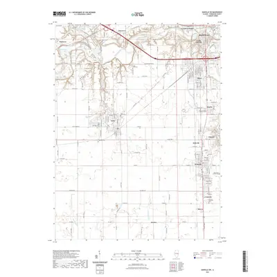
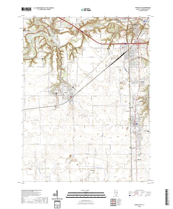
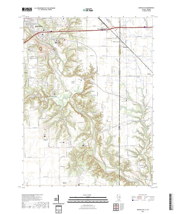 2024 Danville SE2024 Print · USGSSoutheast of Danville and along the Indiana state line, this recent survey traces the deep valley of the Vermilion River and its rural townships. Researchers can locate numerous historical burial sites like Sandusky Cem and McKendree Cem or follow the rail corridor of CSX TRANSPORTATION.
End of results
Showing maps 1-22 of 22
Top cities near Danville
- Georgetown historical maps
- Westville historical maps
- Tilton historical maps
- Covington historical maps
- Catlin historical maps
- Eugene historical maps
See more
Top neighborhoods of Danville
Frequently asked questions
- What are the different types of historical maps available for Danville?
- What is the oldest map of Danville?
- Where can I purchase historical maps of Danville for my home or office?
- Where can I download high-res historical maps of Danville?
- Are there historical topographic maps available for Danville?
- Is there historical aerial imagery available for Danville?
- Where are historical maps of Danville sourced from?