2000s (21st Century) Maps of Bartholomew County, Indiana
Explore 55 historic maps of Bartholomew County from the 2000s (21st Century). These maps offer a rare glimpse into what life looked like during the 2000s — showing old roads, neighborhoods, homes, and landmarks that have changed or disappeared over time.
Whether you're researching your family's past, planning a metal detecting trip, or studying how Bartholomew County's landscape evolved across the 2000s, these high-resolution maps are a powerful tool for exploring the history of this region.
- Focus on a specific era: All maps on this page are from the 2000s, giving you a focused view of this time period.
- See what’s changed: Compare century-old streets, trails, and buildings to today's modern landscape using overlays and satellite layers.
- Research with precision: Use these maps for genealogy, historical research, land use analysis, or educational projects.
- View, download, or print: Maps are fully viewable online in high resolution, and can be downloaded or printed for your own records.
Start exploring Bartholomew County's history through authentic maps from the 2000s. This is your window into the past.
Bartholomew County, IN maps
(55)- 2010 Map of Columbus, 2010 Print
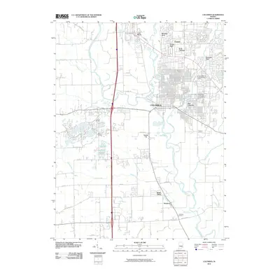 2010 Columbus2010 Print · USGSColumbus and its southern suburbs are shown here in the early 2000s at the meeting of the White and Driftwood rivers. Genealogists can locate family sites at Garland Brook Cemetery or Thompson Cemetery, while researchers can trace the growth of Garden City and Walesboro.
 - 2010 Map of Jonesville, 2010 Print
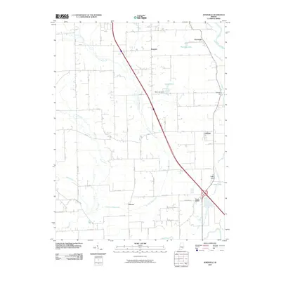 2010 Jonesville2010 Print · USGSBartholomew County at the start of the 2010s reveals a patchwork of river-fed lowlands and established rural settlements. Family historians can trace localized communities like Rosstown, Bobtown, and Peters Switch alongside the East Fork White River.
 - 2010 Map of Nineveh, 2010 Print
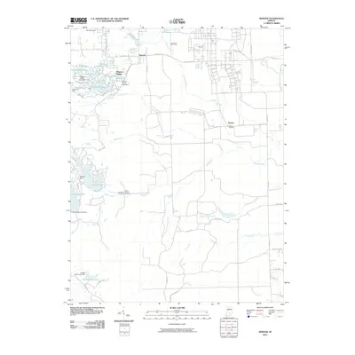 2010 Nineveh2010 Print · USGSJohnson County is shown here during a period of significant residential lake development in the early twenty-first century. Researchers can locate the Prisoner of War Camp and trace family heritage at Mount Moriah Cemetery or Kansas Cemetery.
 - 2010 Map of Hope, 2010 Print
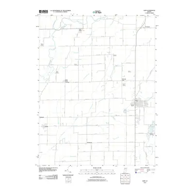 2010 Hope2010 Print · USGSBartholomew County farm country and quiet townships are captured here at the start of the 2010s. Researchers can locate ancestral sites at the Moravian Cemetery or trace the development of crossroads like Old Saint Louis and Saint Louis Crossing.
 - 2010 Map of Grammer, 2010 Print
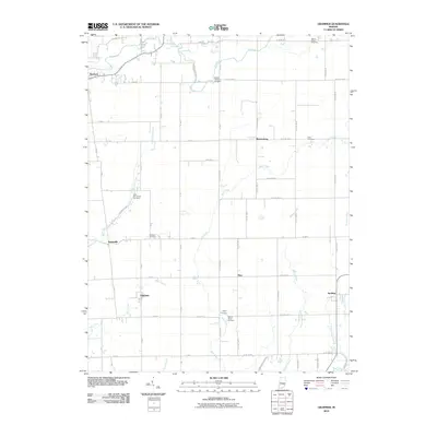 2010 Grammer2010 Print · USGSSoutheastern Indiana's agricultural heartland is documented here at the turn of the millennium, revealing a landscape of small crossroads communities and family legacies. Genealogists can trace ancestral sites at Mount Olivet Cemetery, Sardinia, and Parkison Cemetery.
 - 2010 Map of Hartsville, 2010 Print
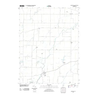 2010 Hartsville2010 Print · USGSHartsville and the surrounding Indiana countryside are captured here in the early twenty-first century as a landscape of steady agricultural tradition. Genealogists can trace family names across numerous local burial sites including Nauvoo Cemetery, Jones Cemetery, and Mount Pisgah Cemetery.
 - 2010 Map of Azalia, 2010 Print
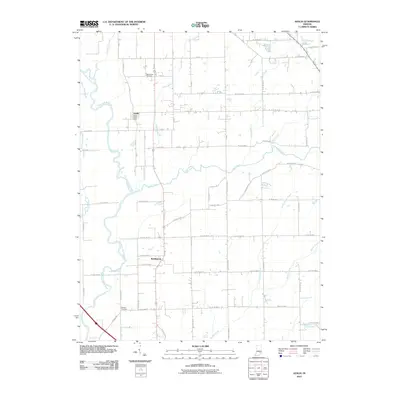 2010 Azalia2010 Print · USGSThe Bartholomew and Jackson County line comes alive in this 2010 study of rural Indiana settlement and drainage. Genealogists and local researchers can pinpoint the Azalia Post Office, Sand Creek Cemetery, and Glasson Cemetery along the banks of the East Fork White River.
 - 2010 Map of Edinburgh, 2010 Print
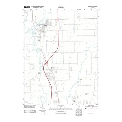 2010 Edinburgh2010 Print · USGSBartholomew County and the river-rich landscape south of Indianapolis are captured here in the early twenty-first century. Genealogists and local historians can trace family ties through Tannehill Cemetery and find the landmark Tannehill Covered Bridge.
 - 2010 Map of Elizabethtown, 2010 Print
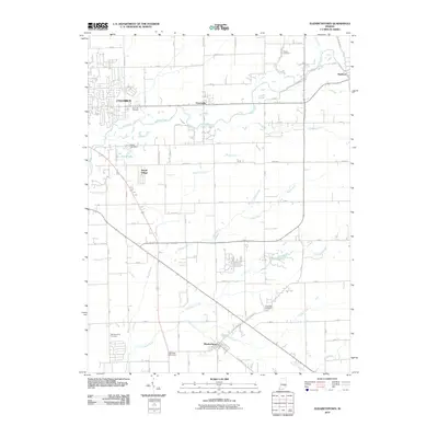 2010 Elizabethtown2010 Print · USGSBartholomew County at the start of the 2010s shows the expansion of Columbus into a landscape of quiet rural hamlets. Researchers can find numerous family burial sites like Sand Hill Cemetery and trace old crossroads in Petersville and Newbern.
 - 2010 Map of New Bellsville, 2010 Print
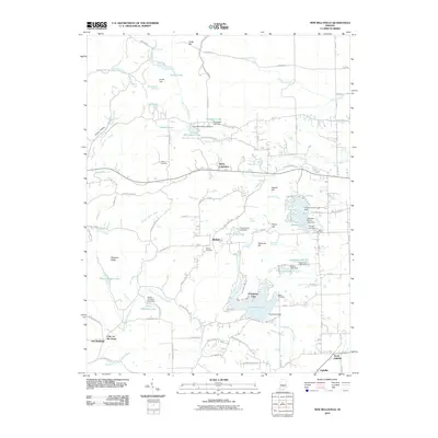 2010 New Bellsville2010 Print · USGSBartholomew County's interior is captured here during a time of modern residential and recreational growth. Researchers can trace family history through sites like Dobbs Cemetery or locate old settlements such as Stony Lonesome and Bethany.
 - 2011 Map of Waymansville, 2011 Print
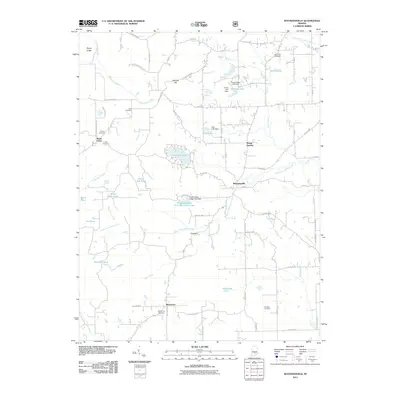 2011 Waymansville2011 Print · USGSBartholomew County’s rural communities are documented in this 2011 survey during a period of modern growth among traditional settlements. Genealogists can trace local roots at Saint Paul Cemetery, Beck Cemetery, and the community of Waymansville.
 - 2013 Map of Elizabethtown, 2013 Print
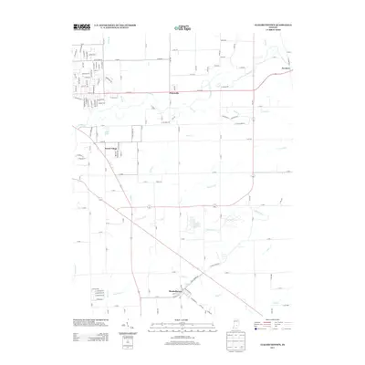 2013 Elizabethtown2013 Print · USGSBartholomew County comes into focus in this modern era survey, showing the residential and agricultural layout east of Columbus. Researchers can trace family sites and local landmarks near Elizabethtown, Jewell Village, and along the banks of Fishers Fork.
 - 2013 Map of Edinburgh, 2013 Print
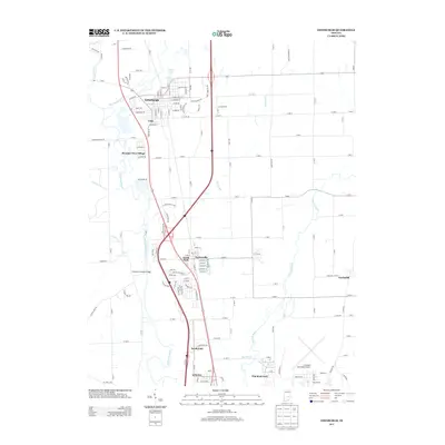 2013 Edinburgh2013 Print · USGSThe river valleys of south-central Indiana meet in the early twenty-first century as suburban growth extends from Edinburgh toward the municipal airport. Genealogists and local historians can trace modern developments like Pleasant View Village alongside landmarks like the Tannehill Covered Bridge.
 - 2013 Map of Hope, 2013 Print
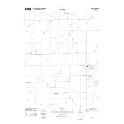 2013 Hope2013 Print · USGSBartholomew County enters the early twenty-first century as a landscape defined by organized agriculture and small-town grids. Researchers can trace the layout of Hope or locate smaller historic points like Saint Louis Crossing and Nortonburg.
 - 2013 Map of Hartsville, 2013 Print
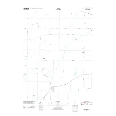 2013 Hartsville2013 Print · USGSBartholomew County land patterns and rural settlements are captured here in the early twenty-first century. Genealogists and researchers can trace local connections between Hartsville, Rugby, and Burney while locating family-named water features like Schultz Lake.
 - 2013 Map of Azalia, 2013 Print
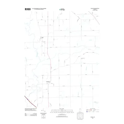 2013 Azalia2013 Print · USGSSoutheastern Indiana farmland meets the meandering E Fork White River in the early twenty-first century. Genealogists and local historians can trace the rural landscape surrounding Azalia and Reddington, following creeks like Sand Cr and Thompson Slough.
 - 2013 Map of Grammer, 2013 Print
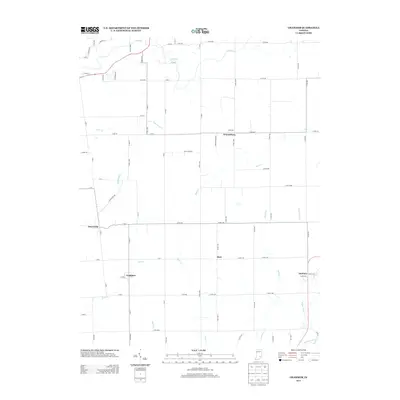 2013 Grammer2013 Print · USGSSardinia and Grammer are shown in their rural Indiana setting during the early twenty-first century. Researchers can trace the creek-side settlements of Alert and Waynesburg along the waters of Bear Cr and Fall Fork.
 - 2013 Map of Columbus, 2013 Print
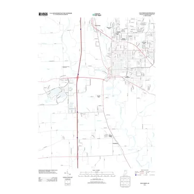 2013 Columbus2013 Print · USGSBartholomew County at the start of the 2010s shows a complex network of river confluences and growing suburban developments. Researchers can trace the boundaries of older settlements like Walesboro and Bethel Village alongside landmarks like the Strietelmeier Flying Field Airport.
 - 2013 Map of Jonesville, 2013 Print
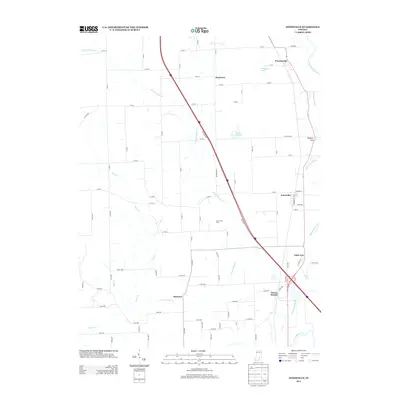 2013 Jonesville2013 Print · USGSBartholomew County comes into focus in this early 2010s survey, highlighting the corridor between Jonesville and Waynesville. Researchers can trace old settlement boundaries at Bobtown and Rosstown, or locate landmarks like Wrights Hill and the Corya Pork Farm.
 - 2013 Map of Nineveh, 2013 Print
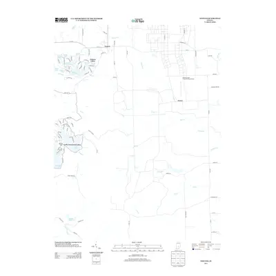 2013 Nineveh2013 Print · USGSNineveh and the surrounding lake communities are documented here in the early twenty-first century as the area continued its growth into a major recreational hub. Researchers can trace the dense residential streets of Princes Lakes or locate the sprawling Atterbury Field (Camp Atterbury) Airport near Kansas.
 - 2013 Map of New Bellsville, 2013 Print
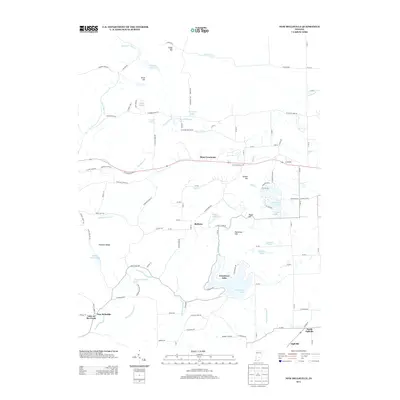 2013 New Bellsville2013 Print · USGSBartholomew County's diverse landscape is shown here in the early 2000s, where rural townships meet significant water features. Genealogists and locals can trace family-named areas like Patterson Hill or explore the growth of communities like Stony Lonesome and New Bellsville.
 - 2013 Map of Waymansville, 2013 Print
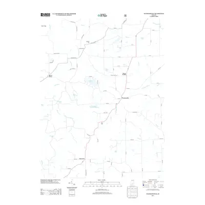 2013 Waymansville2013 Print · USGSBartholomew County's rural townships are documented here during the early twenty-first century, showing a landscape shaped by creek systems and small settlements. Researchers can trace local landmarks like Becks Grove, Waymansville, and the waters of Lutheran Lake or Buck Cr.
 - 2016 Map of Grammer, 2016 Print
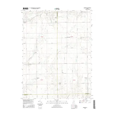 2016 Grammer2016 Print · USGSBartholomew and Decatur counties meet in this mid-2010s survey of southeastern Indiana's rural crossroads and creek-bottom lands. Genealogists can trace family heritage at Little Sand Creek Cem, Parkison Cem, and the small settlements of Grammer and Alert.
 - 2016 Map of Azalia, 2016 Print
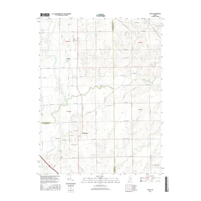 2016 Azalia2016 Print · USGSBartholomew and Jackson counties meet in this detailed view of Indiana’s river country during the mid-2010s. Genealogists can trace family footprints through sites like Sand Creek Cem and Glasson Cem or follow the paths of Sand Creek and the East Fork White River.
 - 2016 Map of Waymansville, 2016 Print
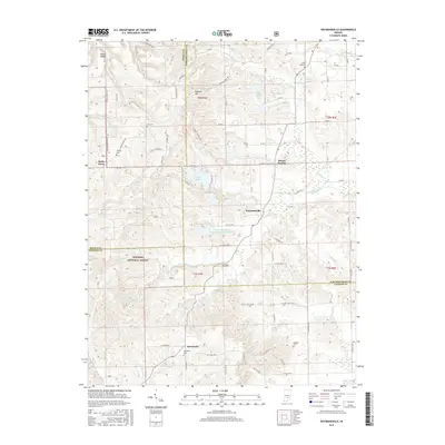 2016 Waymansville2016 Print · USGSBartholomew and Jackson Counties are shown here during the mid-2010s, capturing a landscape of timbered ridges and rural crossroads. Researchers can trace family history through local landmarks like Becks Cem, Spraytown, and the Saint Paul Cem.
Showing maps 1-25 of 55
Top cities of Bartholomew County
- Columbus historical maps
- Hope historical maps
- Elizabethtown historical maps
- Hartsville historical maps
- Clifford historical maps
- Jonesville historical maps
Frequently asked questions
- What are the different types of historical maps available for Bartholomew County?
- What is the oldest map of Bartholomew County?
- Where can I purchase historical maps of Bartholomew County for my home or office?
- Where can I download high-res historical maps of Bartholomew County?
- Are there historical topographic maps available for Bartholomew County?
- Is there historical aerial imagery available for Bartholomew County?
- Where are historical maps of Bartholomew County sourced from?