2010s Maps of Huntington County, Indiana
Explore 64 historic maps of Huntington County from the 2010s. These maps offer a rare glimpse into what life looked like during the 2010s — showing old roads, neighborhoods, homes, and landmarks that have changed or disappeared over time.
Whether you're researching your family's past, planning a metal detecting trip, or studying how Huntington County's landscape evolved across the 2010s, these high-resolution maps are a powerful tool for exploring the history of this region.
- Focus on a specific era: All maps on this page are from the 2010s, giving you a focused view of this time period.
- See what’s changed: Compare century-old streets, trails, and buildings to today's modern landscape using overlays and satellite layers.
- Research with precision: Use these maps for genealogy, historical research, land use analysis, or educational projects.
- View, download, or print: Maps are fully viewable online in high resolution, and can be downloaded or printed for your own records.
Start exploring Huntington County's history through authentic maps from the 2010s. This is your window into the past.
Huntington County, IN maps
(64)- 2010 Map of Bippus, 2010 Print
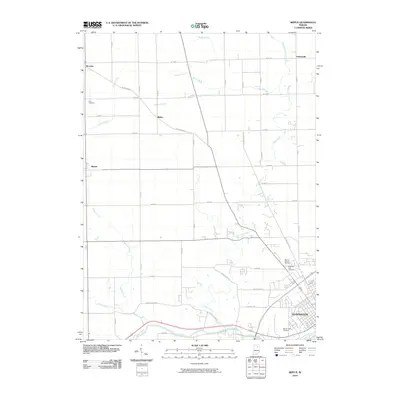 2010 Bippus2010 Print · USGSNorthwestern Huntington County was defined by its agrarian roots and river junctions in the early twenty-first century. Researchers can trace family history through several burial sites like Mount Hope Cemetery and locate small settlements such as Bippus and Goblesville.
 - 2010 Map of Arcola, 2010 Print
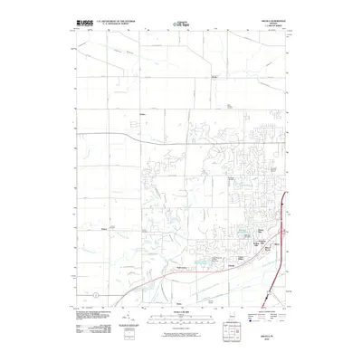 2010 Arcola2010 Print · USGSAllen County’s western corridor is captured in the early 21st century as suburban growth meets rural farmland. Genealogists can locate family burial plots at Saint Patricks Cemetery or Bayliss Cemetery, while following the path of Aboite Creek through Dunfee.
 - 2010 Map of La Fontaine, 2010 Print
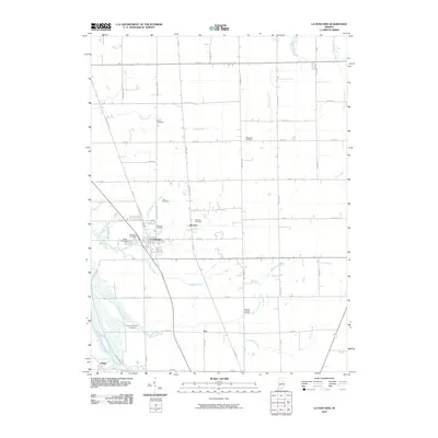 2010 La Fontaine2010 Print · USGSIn the heart of Wabash County during the early twenty-first century, this area shows a landscape defined by small crossroads and family legacies. Genealogists can locate numerous burial sites such as Meshingomesia Cemetery, America Cemetery, and the settlement of Jalapa.
 - 2010 Map of Servia, 2010 Print
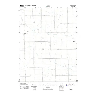 2010 Servia2010 Print · USGSThe rural landscapes of Wabash County are captured here in the early twenty-first century, showing the enduring grid of agricultural life. Genealogists can trace family roots at Concord Cemetery, Allbright Cemetery, and the historic settlements of Servia and Bippus.
 - 2010 Map of Lagro, 2010 Print
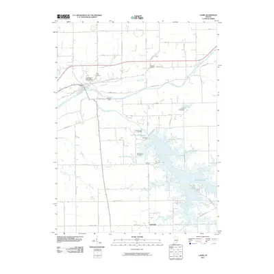 2010 Lagro2010 Print · USGSLagro and its surrounding river valleys are captured here in the early twenty-first century, showing the confluence of the Wabash and Salamonie. Genealogists can locate family sites at the Independent Order of Odd Fellows Cemetery or Leedy Cemetery and trace the shores of Salamonie Lake.
 - 2010 Map of Andrews, 2010 Print
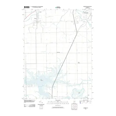 2010 Andrews2010 Print · USGSThe rural landscape of Huntington County is captured here in the early twenty-first century, centered on the settlement of Andrews and the waters of Salamonie Lake. Researchers can trace local heritage through Riverside Cemetery or locate the site of the German Settlement Cemetery.
 - 2010 Map of Warren, 2010 Print
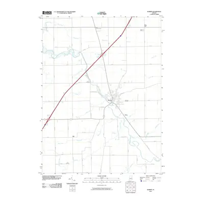 2010 Warren2010 Print · USGSWarren and its neighboring hamlets are captured here during the first decade of the 2000s, showing the settled farmland of Huntington County. Researchers can locate numerous local burial grounds including Redmen Cemetery and Taylor Cemetery along the banks of the Salamonie River.
 - 2010 Map of Markle, 2010 Print
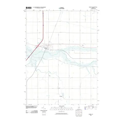 2010 Markle2010 Print · USGSMarkle and Rockford are captured here during the first decade of the 21st century, showing a landscape defined by the Wabash River and extensive field drainage. Local historians can trace family roots at Horeb Cemetery, Sparks Cemetery, and Spider Hill Cemetery.
 - 2010 Map of Liberty Center, 2010 Print
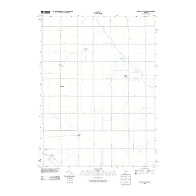 2010 Liberty Center2010 Print · USGSWells County at the start of the 2010s reveals a landscape defined by its agricultural heritage and complex drainage networks. Researchers can trace family sites at Mossburg Cemetery and explore the rural hubs of Buckeye and Liberty Center.
 - 2010 Map of Laud, 2010 Print
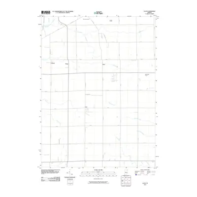 2010 Laud2010 Print · USGSWhitley County at the start of the 2010s remains a landscape of traditional farming anchored by the crossroads of Laud and Peabody. Researchers can trace the development of the rural infrastructure through family landmarks like Oak Grove Cemetery and the drainage patterns of Stony Creek.
 - 2010 Map of South Whitley West, 2010 Print
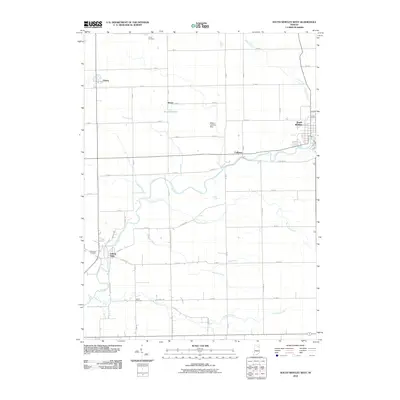 2010 South Whitley West2010 Print · USGSIndiana's rural heartland is captured here in the early twenty-first century, showing the enduring agricultural grid surrounding the Eel River. Researchers can trace family sites near Circle Cemetery or the riverside hamlets of Collamer and Liberty Mills.
 - 2010 Map of Huntington, 2010 Print
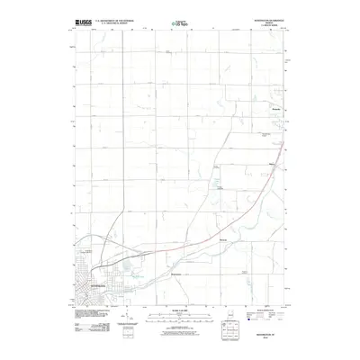 2010 Huntington2010 Print · USGSNortheastern Indiana comes into focus during this period of established rural townships and expanding urban centers. Genealogists and researchers can trace family landmarks and legacy sites from Union Cemetery to the small settlements of Bowerstown and Mahon.
 - 2010 Map of Majenica, 2010 Print
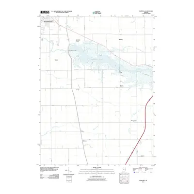 2010 Majenica2010 Print · USGSSouthern Huntington County is captured here in the early twenty-first century, centered on the waters of Huntington Lake. Local historians can trace family roots at Star of Hope Cemetery or locate the rural crossroads of Majenica and Rock Creek Center.
 - 2010 Map of Mount Etna, 2010 Print
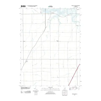 2010 Mount Etna2010 Print · USGSIndiana's rural Huntington County is shown in detail during the early 2010s, centered on the small communities and complex waterways south of the reservoir. Genealogists and local historians can locate the Purviance Cemetery, Lee Cemetery, and the Gardens of Memory near Mount Etna and Banquo.
 - 2010 Map of Zanesville, 2010 Print
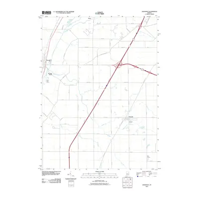 2010 Zanesville2010 Print · USGSNortheast Indiana's agricultural heartland is documented here just after the first decade of the millennium. Researchers can locate family landmarks like Hoverstock Cemetery or trace the drainage networks of Eightmile Creek and Flat Creek.
 - 2010 Map of South Whitley East, 2010 Print
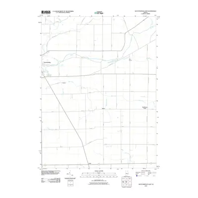 2010 South Whitley East2010 Print · USGSSouth Whitley and its surrounding rural townships are documented here during the early twenty-first century. Genealogists and historians can trace local landmarks like Saint Peters Cemetery, the crossroad at Tunker, and the banks of the Eel River.
 - 2013 Map of Arcola, 2013 Print
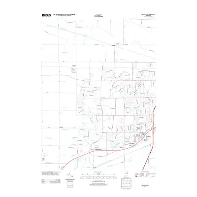 2013 Arcola2013 Print · USGSArcola and its surrounding townships appear here during a period of suburban transition in Allen County. Researchers can trace the development of Liberty Hills and Ellisville or locate landmarks like Gerig's Field Airport and Kekionga Shores Lake.
 - 2013 Map of Laud, 2013 Print
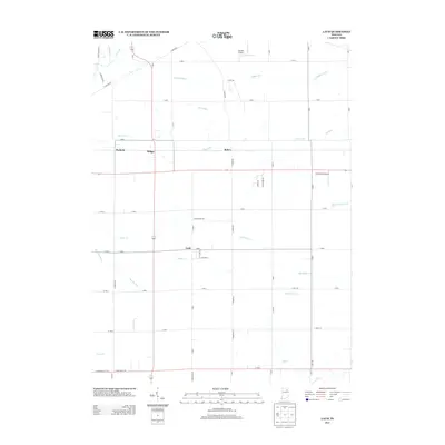 2013 Laud2013 Print · USGSWhitley County at the start of the 2010s shows a landscape defined by its farm-to-market roads and vital drainage networks. Genealogists can trace the rural layout around settlements like Laud or locate family land near Stony Creek and Peabody.
 - 2013 Map of South Whitley West, 2013 Print
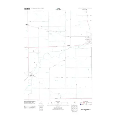 2013 South Whitley West2013 Print · USGSWhitley County's river-driven geography is on full display here in the early twenty-first century. Genealogists and local historians can trace family locations near South Whitley or follow the path of the Eel River past Collamer and Liberty Mills.
 - 2013 Map of South Whitley East, 2013 Print
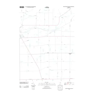 2013 South Whitley East2013 Print · USGSWhitley County's rural landscape is revealed in the early twenty-first century, showing a region defined by agricultural engineering and small hamlets. Trace family roots and land patterns near Tunker, Washington Center, and the waters of Stony Creek.
 - 2013 Map of Warren, 2013 Print
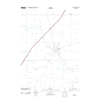 2013 Warren2013 Print · USGSThe town of Warren and its surrounding agricultural landscape are captured in the early twenty-first century as the Salamonie River flows through the heart of the community. Genealogists and researchers can trace local connections in Warren, Plum Tree, and Milo, or follow the routes of Brook Cr and the Salamonie River.
 - 2013 Map of Bippus, 2013 Print
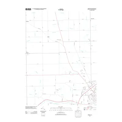 2013 Bippus2013 Print · USGSThe rural Huntington County landscape is shown here in the early twenty-first century, just north of the Wabash River. Researchers can trace old family holdings near the hamlets of Bippus, Makin, and Bracken or follow the paths of Clear Cr and Nieman Cr.
 - 2013 Map of La Fontaine, 2013 Print
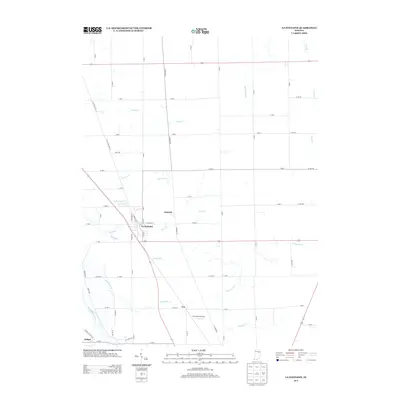 2013 La Fontaine2013 Print · USGSWabash County's agricultural heartland is documented here in the early twenty-first century as modern roads follow pioneer-era paths. Genealogists and researchers can locate family sites near La Fontaine, the settlement of America, or the banks of the Mississinewa River.
 - 2013 Map of Zanesville, 2013 Print
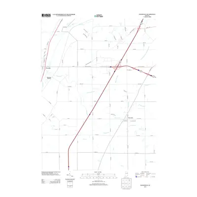 2013 Zanesville2013 Print · USGSRoanoke and Zanesville are captured here in the early twenty-first century, showing the intersection of historic town centers and modern transit. Researchers can trace the drainage networks of Pleasant Run Ditch and Eightmile Creek alongside the growth of Roanoke Station.
 - 2013 Map of Markle, 2013 Print
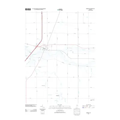 2013 Markle2013 Print · USGSThe town of Markle and the Wabash River corridor are captured here during the early twenty-first century. Family historians and researchers can trace local landmarks like Worster Farms and the private airstrips at Johnson Airport and Grandlienard-Hogg Airport.
Showing maps 1-25 of 64
Top cities of Huntington County
- Huntington historical maps
- Roanoke historical maps
- Warren historical maps
- Lancaster historical maps
- Andrews historical maps
- Mount Etna historical maps
Frequently asked questions
- What are the different types of historical maps available for Huntington County?
- What is the oldest map of Huntington County?
- Where can I purchase historical maps of Huntington County for my home or office?
- Where can I download high-res historical maps of Huntington County?
- Are there historical topographic maps available for Huntington County?
- Is there historical aerial imagery available for Huntington County?
- Where are historical maps of Huntington County sourced from?