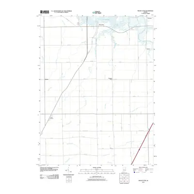
2010 Map of Mount Etna
USGS Topo · Published 2010About this map
Mount Etna sits at the northern edge of this Huntington County landscape, where the waters of the Salamonie River broaden into the finger-like reaches of Salamonie Lake. The terrain is defined by a dense network of watercourses and agricultural drainage, including the Detamore Ditch and several creeks such as Richland Creek and Little Black Creek. This 2010 survey illustrates the rural character of the region, anchored by small community clusters like Banquo, Pleasant Plain, and Lancaster in the northeast corner.
Find a feature on this map
33 named features on this map. Tap any name to fly to it.
Don’t see what you’re looking for? This feature index may not catch every label — zoom into the map to look around manually.
Map Details
Editions of this 2010 Mount Etna Map
This is the sole edition of this map. No revisions or reprints were ever made.
Other maps of this area

1950 · Lagro
USGS Topo · 1:24,000

1950 · Andrews
USGS Topo · 1:24,000

1950 · Warren
USGS Topo · 1:24,000

1950 · Mount Etna
USGS Topo · 1:24,000

1951 · Mount Etna
USGS Topo · 1:24,000

1951 · Andrews
USGS Topo · 1:24,000

1951 · Lagro
USGS Topo · 1:24,000

1952 · Warren
USGS Topo · 1:24,000

1952 · Majenica
USGS Topo · 1:24,000

1953 · La Fontaine
USGS Topo · 1:24,000