2000s (21st Century) Maps of La Porte, Indiana
Explore 20 historic maps of La Porte from the 2000s (21st Century). These maps offer a rare glimpse into what life looked like during the 2000s — showing old roads, neighborhoods, homes, and landmarks that have changed or disappeared over time.
Whether you're researching your family's past, planning a metal detecting trip, or studying how La Porte's landscape evolved across the 2000s, these high-resolution maps are a powerful tool for exploring the history of this region.
- Focus on a specific era: All maps on this page are from the 2000s, giving you a focused view of this time period.
- See what’s changed: Compare century-old streets, trails, and buildings to today's modern landscape using overlays and satellite layers.
- Research with precision: Use these maps for genealogy, historical research, land use analysis, or educational projects.
- View, download, or print: Maps are fully viewable online in high resolution, and can be downloaded or printed for your own records.
Start exploring La Porte's history through authentic maps from the 2000s. This is your window into the past.
La Porte, IN maps
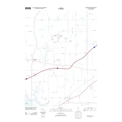
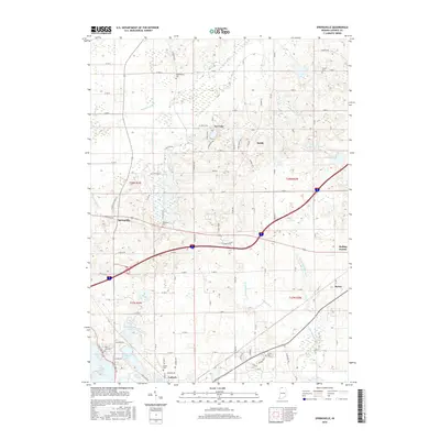
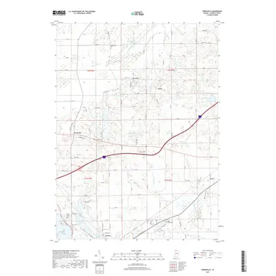
(20)- 2010 Map of Springville, 2010 Print
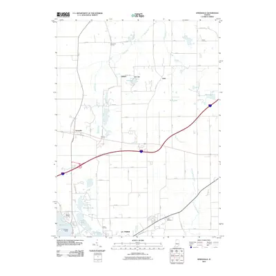 2010 Springville2010 Print · USGSCovers La Porte, including Lalimere, Springville, and other nearby areas
 - 2010 Map of Michigan City East, 2010 Print
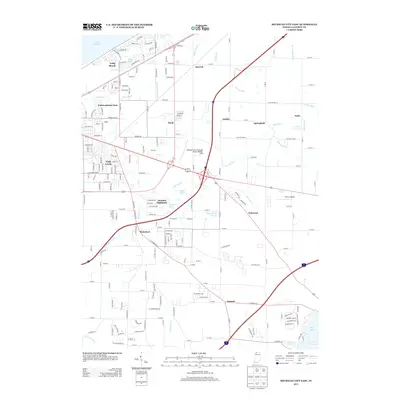
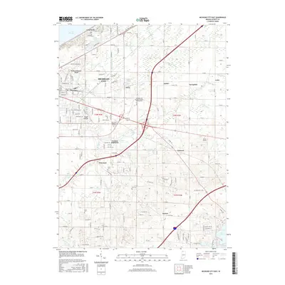
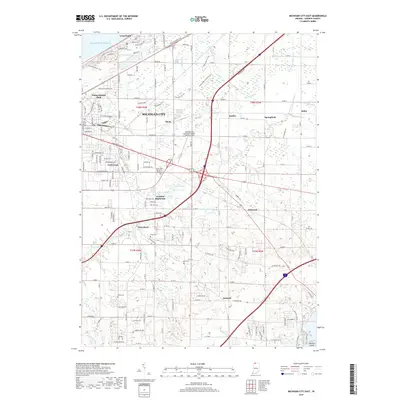
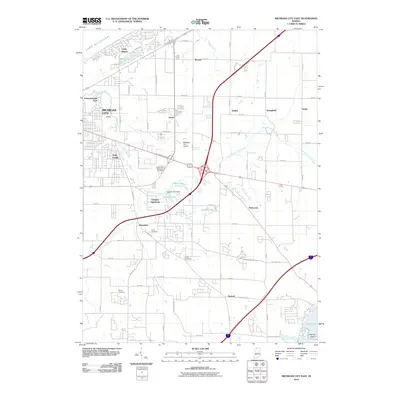 2010 Michigan City East2010 Print · USGSCovers La Porte, including Michigan City, Springfield, and other nearby areas
 - 2010 Map of LaPorte East, 2010 Print
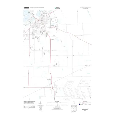
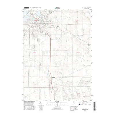
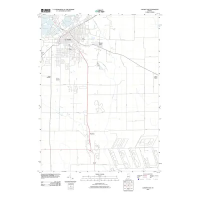 2010 LaPorte East2010 Print · USGSCovers La Porte, including Kingsbury, South LaPorte, and other nearby areas
 - 2010 Map of LaPorte West, 2010 Print
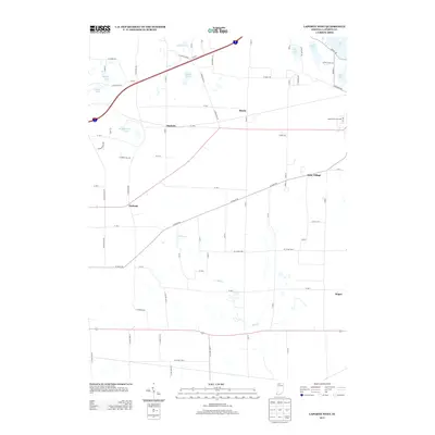
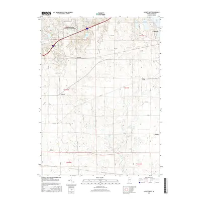
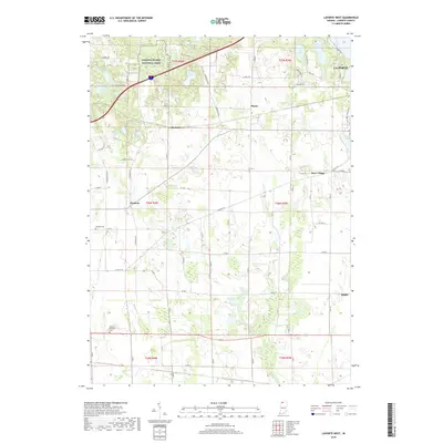
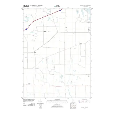 2010 LaPorte West2010 Print · USGSCovers La Porte, including Magee, Pinola, and other nearby areas
 - 2013 Map of Springville, 2013 Print
 2013 Springville2013 Print · USGSCovers La Porte, including Lalimere, Springville, and other nearby areas
 - 2013 Map of LaPorte East, 2013 Print
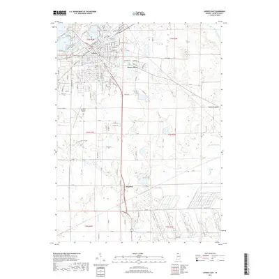
 2013 LaPorte East2013 Print · USGSCovers La Porte, including Kingsbury, South LaPorte, and other nearby areas
 - 2013 Map of Michigan City East, 2013 Print
 2013 Michigan City East2013 Print · USGSCovers La Porte, including Michigan City, Springfield, and other nearby areas
 - 2013 Map of LaPorte West, 2013 Print
 2013 LaPorte West2013 Print · USGSCovers La Porte, including Magee, Pinola, and other nearby areas
 - 2016 Map of LaPorte West, 2016 Print
 2016 LaPorte West2016 Print · USGSCovers La Porte, including Magee, Pinola, and other nearby areas
 - 2016 Map of LaPorte East, 2016 Print
 2016 LaPorte East2016 Print · USGSCovers La Porte, including Kingsbury, South LaPorte, and other nearby areas
 - 2016 Map of Springville, 2016 Print
 2016 Springville2016 Print · USGSCovers La Porte, including Lalimere, Springville, and other nearby areas
 - 2016 Map of Michigan City East, 2016 Print
 2016 Michigan City East2016 Print · USGSCovers La Porte, including Michigan City, Springfield, and other nearby areas
 - 2019 Map of Springville, 2019 Print
 2019 Springville2019 Print · USGSCovers La Porte, including Lalimere, Springville, and other nearby areas
 - 2019 Map of LaPorte West, 2019 Print
 2019 LaPorte West2019 Print · USGSCovers La Porte, including Magee, Pinola, and other nearby areas
 - 2019 Map of LaPorte East, 2019 Print
 2019 LaPorte East2019 Print · USGSCovers La Porte, including Kingsbury, South LaPorte, and other nearby areas
 - 2019 Map of Michigan City East, 2019 Print
 2019 Michigan City East2019 Print · USGSCovers La Porte, including Michigan City, Springfield, and other nearby areas
 - 2022 Map of LaPorte West, 2022 Print
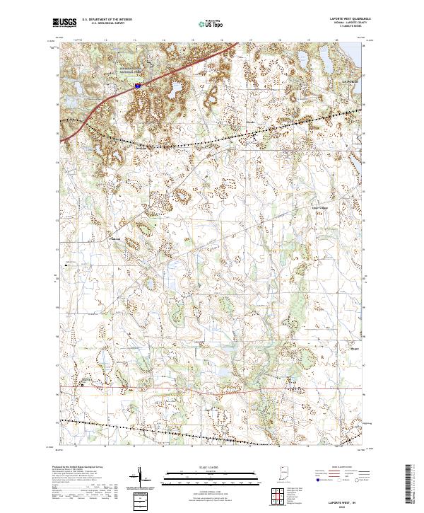 2022 LaPorte West2022 Print · USGSLaPorte County and the southern edge of the dunes are captured here in the early 2020s, showing a landscape of glacial lakes and historic crossroads. Researchers can trace rural lineages through sites like Miriam Benedict Cem or explore the small communities of Pinhook and Door Village.
 - 2022 Map of Michigan City East, 2022 Print
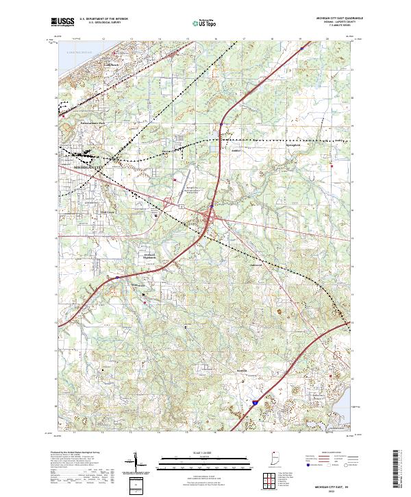 2022 Michigan City East2022 Print · USGSThe Lake Michigan coast meets the rural Indiana interior in the early 2020s, revealing a landscape of suburban growth and persistent agricultural drainage. Genealogists and local historians can locate several burial grounds like Sharp Cem and Lows Cem, or trace the development around Long Beach and Waterford.
 - 2022 Map of Springville, 2022 Print
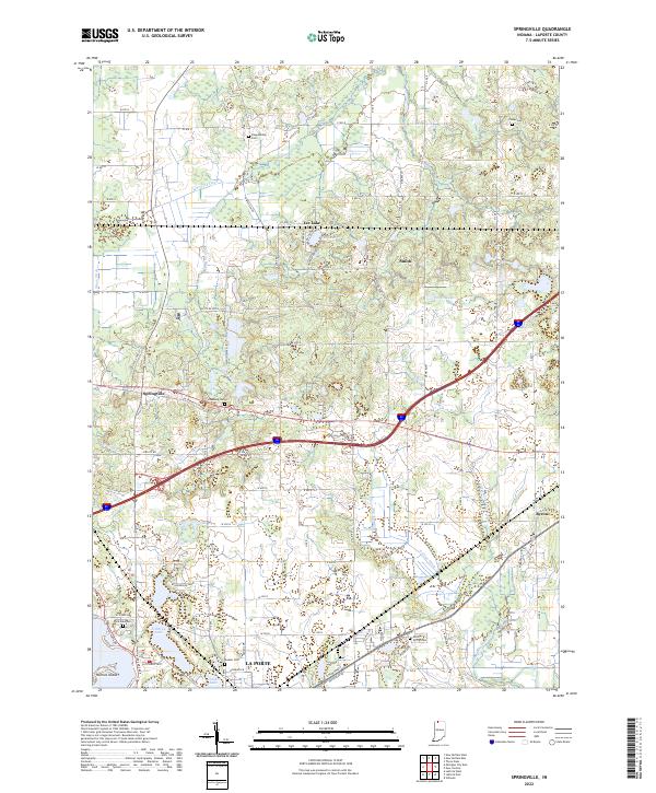 2022 Springville2022 Print · USGSLaPorte County's agricultural and lake-country landscape is documented here in the early twenty-first century. Genealogists can trace several local burial sites including Shippeeburg and Rossburg Cemetery near the village of Springville.
 - 2022 Map of LaPorte East, 2022 Print
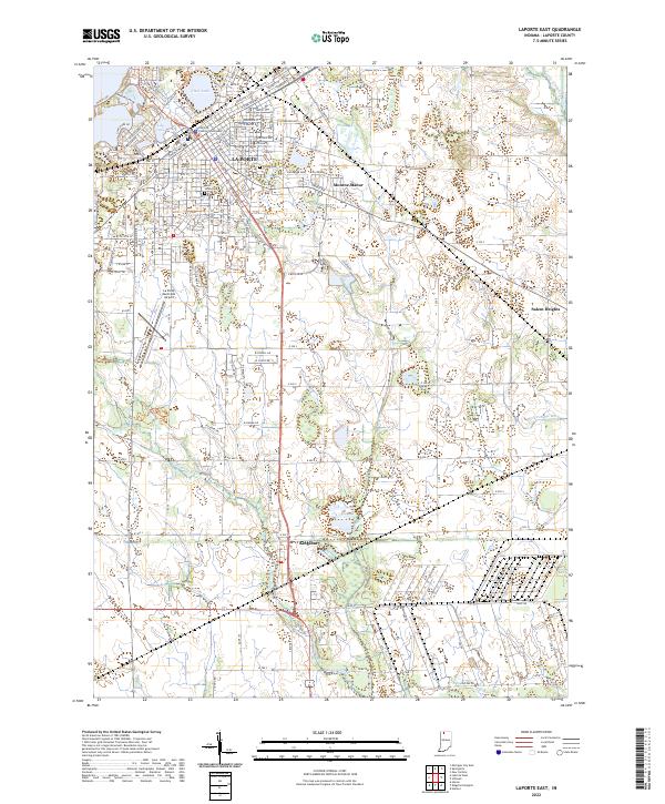 2022 LaPorte East2022 Print · USGSLa Porte and its southern reaches in Kingsbury are captured here during a period of modern expansion. Researchers can locate family sites near Patton Cem, trace the drainage of Breckenridge Ditch, or see the layout of Monroe Manor.
End of results
Showing maps 1-20 of 20
Top cities near La Porte
- Michigan City historical maps
- Westville historical maps
- Springfield historical maps
- Kankakee historical maps
- Trail Creek historical maps
- Walkerton historical maps
See more
Top neighborhoods of La Porte
- NewPorte Landing historical maps
- Plaza 618 historical maps
- Monroe Manor historical maps
- Regency Place historical maps
- Whispering Meadows historical maps
Frequently asked questions
- What are the different types of historical maps available for La Porte?
- What is the oldest map of La Porte?
- Where can I purchase historical maps of La Porte for my home or office?
- Where can I download high-res historical maps of La Porte?
- Are there historical topographic maps available for La Porte?
- Is there historical aerial imagery available for La Porte?
- Where are historical maps of La Porte sourced from?