Old Maps of La Porte, Indiana for Academic Research
Study the evolution of La Porte with 31 high-resolution historic maps. Whether you're teaching, researching, or modeling changes in land use, these maps provide essential visual documentation of urban, environmental, and geographic change.
- Analyze long-term change: Track patterns in development, transportation, and natural features.
- Ideal for environmental or urban studies: Support academic projects with primary historical map data.
- Use in the classroom or lab: Educators and researchers rely on these maps to bring historical context to life.
These maps are a powerful tool for teaching, research, and visualizing how La Porte has changed over the decades.
La Porte, IN maps
(31)- 1953 Map of Chicago, 1964 Print
 1953 Chicago1964 Print · USGSThe southern Lake Michigan shoreline was rapidly modernizing in the mid-fifties, balancing heavy industry with its famous academic centers. Researchers can trace the footprints of Notre Dame University or locate vanished sites like the Kingsbury Ordnance Plant and Meigs Field.5 unique versions available
 - 1957 Map of Chicago
 1957 Chicago1957 Print · USGSThe industrial heartland and southern Great Lakes shoreline are captured here during the peak of mid-century growth. Researchers can trace the massive Gary Steel Works, the grounds of the University of Notre Dame, and the early paths of the Tri-State Tollway.
 - 1958 Map of Michigan City East, 1963 Print
 1958 Michigan City East1963 Print · USGSThe Indiana shoreline and the rail corridors of LaPorte County are captured here at a peak of mid-century industrial and suburban expansion. Researchers can trace historic family locations near Swan Lake Cem or follow the paths of the Monon Railroad and New York Central Railroad.
 - 1958 Map of La Porte East, 1964 Print
 1958 La Porte East1964 Print · USGSLaPorte County's industrial and residential expansion is evident in the late fifties, featuring the massive Kingsbury Ordnance Plant. Genealogists can trace family sites at Patton Cemetery or locate old schoolhouses like Riley Sch and St Johns Sch.
 - 1958 Map of Springville, 1964 Print
 1958 Springville1964 Print · USGSLa Porte County is shown just as modern highways began to reshape the northern Indiana countryside in the late fifties. Researchers can trace historic family landmarks like Potter Chapel and Rossburg Cem alongside early rail routes like the Chicago South Shore and South Bend Railroad.2 unique versions available
 - 1961 Map of La Porte West, 1964 Print
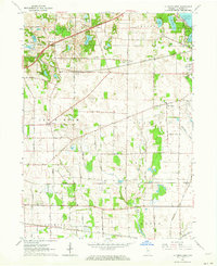 1961 La Porte West1964 Print · USGSLa Porte County at the start of the sixties shows a landscape shaped by early treaty lines and a dense network of major railroads. Genealogists and local historians can trace rural school districts and old settlements such as Door Village, Pinhook, and Pinola.
 - 1969 Map of La Porte West, 1971 Print
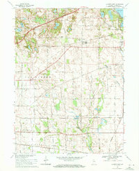 1969 La Porte West1971 Print · USGSThe rural prairie west of La Porte comes alive in the late sixties, showing a landscape defined by glacial lakes and a bustling rail network. Genealogists and historians can locate the Township Sch, Pinhook Cem, and the historic settlement at Door Village.3 unique versions available
 - 1969 Map of Michigan City East, 1971 Print
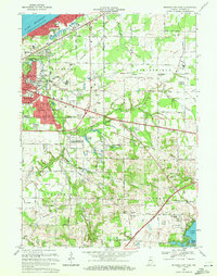 1969 Michigan City East1971 Print · USGSLaPorte County, Indiana, is captured at the end of the sixties as Michigan City expanded into the surrounding townships. Researchers can trace historic rail lines like the Norfolk and Western and locate rural landmarks such as Sharp Cem or the State Prison Farm.2 unique versions available
 - 1974 Map of La Porte East, 1975 Print
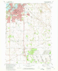 1974 La Porte East1975 Print · USGSLa Porte was a bustling hub of rail and industry in the mid-seventies, surrounded by new suburbs and expansive state lands. Genealogists can locate family sites at Patton Cemetery and St Josephs Cem, or trace the tracks of the Penn Central and Norfolk and Western.3 unique versions available
 - 1977 Map of La Porte East, 1989 Print
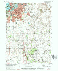 1977 La Porte East1989 Print · USGSLa Porte and its southern neighbors were crossroads of heavy rail and industry in the late seventies. Researchers can trace the legacy of local schools and churches from Kesling Jr High Sch to Salem Chapel, or explore the sprawling grounds of the Kingsbury State Fish and Game Area.
 - 1983 Map of South Bend, 1984 Print
 1983 South Bend1984 Print · USGSThe Indiana-Michigan borderlands come alive in this early 1980s overview of the Michiana region's industrial and academic hubs. Researchers can trace the rail networks of Conrail and the Grand Trunk Western alongside landmarks like the University of Notre Dame and Indiana Dunes State Park.2 unique versions available
 - 2010 Map of Springville, 2010 Print
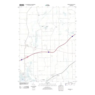 2010 Springville2010 Print · USGSLa Porte County at the start of the 21st century reveals a landscape where rural heritage and modern infrastructure meet. Genealogists can trace family roots through numerous local sites including Shippeeburg Cemetery, Rossburg Cemetery, and the settlement of Springville.
 - 2010 Map of Michigan City East, 2010 Print
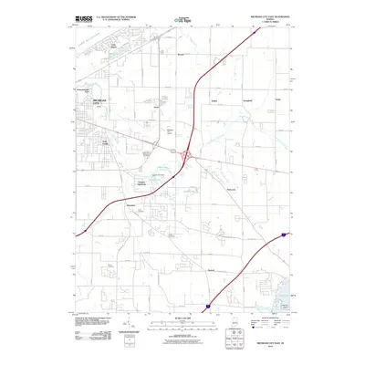 2010 Michigan City East2010 Print · USGSCoastal LaPorte County comes into focus in the early 2000s, showing the intersection of Great Lakes shoreline and modern transit. Researchers can trace family history through Cross Cemetery and Lows Cemetery or locate landmarks like Pottawattamie Park and the Michigan City Airport.
 - 2010 Map of LaPorte East, 2010 Print
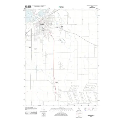 2010 LaPorte East2010 Print · USGSLa Porte and its southern outskirts are captured in detail during the early 21st century. Researchers can trace local lineage through Patton Cemetery or examine the modern industrial developments near Kingsbury and the La Porte Municipal Airport.
 - 2010 Map of LaPorte West, 2010 Print
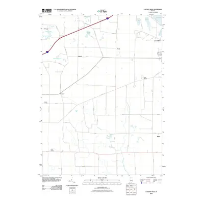 2010 LaPorte West2010 Print · USGSLaPorte County’s western landscape was a mix of quiet rural hamlets and growing suburban outskirts in the early twenty-first century. Genealogists and local researchers can trace family landmarks like Clinton Chapel Cemetery and the old settlement at Door Village.
 - 2013 Map of Springville, 2013 Print
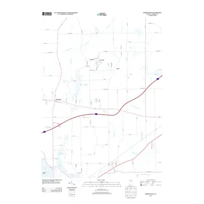 2013 Springville2013 Print · USGSNorthern Indiana's wetland and river geography is meticulously documented here during the early twenty-first century. Genealogists and local historians can trace the areas around Springville, Lalimere, and the shorelines of Pine Lake and Tee Lake.
 - 2013 Map of LaPorte East, 2013 Print
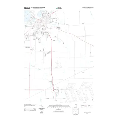 2013 LaPorte East2013 Print · USGSLa Porte and its surrounding lake country are captured here in the early 2010s. Trace the development of the city from Clear Lake south to Kingsbury, noting landmarks like the La Porte Municipal Airport and the CSX rail line.
 - 2013 Map of Michigan City East, 2013 Print
 2013 Michigan City East2013 Print · USGSCoastal LaPorte County comes into focus in this 2013 survey of the Lake Michigan shoreline and its inland aviation and water networks. Trace the residential growth of Long Beach and Waterford, or locate local landmarks like Norm's Airpark and the Michigan City Municipal Airport.
 - 2013 Map of LaPorte West, 2013 Print
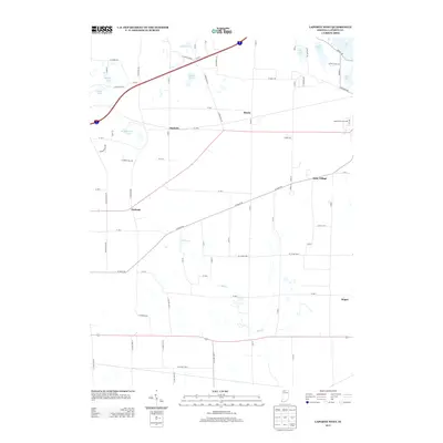 2013 LaPorte West2013 Print · USGSLaPorte County in the early twenty-first century remains a landscape of historic crossroads settlements and glacial lakes. Researchers can trace the layout of small communities like Door Village and Pinola or locate landmarks like the Laporte Fair Grounds.
 - 2016 Map of LaPorte West, 2016 Print
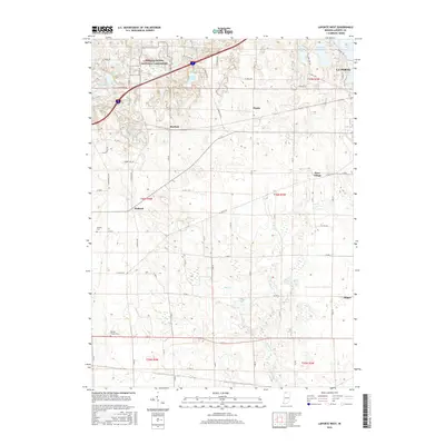 2016 LaPorte West2016 Print · USGSThe rural landscape west of La Porte comes into focus during the mid-2010s, showing the intersection of protected parklands and historic crossroads. Genealogists and local historians can trace legacy sites like Clinton Chapel Cem and the early settlements of Door Village and Pinhook.
 - 2016 Map of LaPorte East, 2016 Print
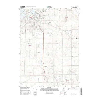 2016 LaPorte East2016 Print · USGSLaPorte and its southern neighbors are captured here in the mid-2010s as the city expands toward the glacial lakes and nearby prairies. Genealogists and local historians can map out family plots at Patton Cem or trace the drainage of the Little Kankakee River.
 - 2016 Map of Springville, 2016 Print
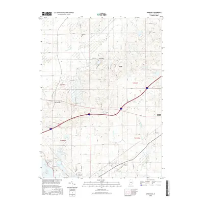 2016 Springville2016 Print · USGSLa Porte and its northern neighboring townships appear in this recent survey, showing a landscape defined by glacial lakes and headwater rivers. Family researchers can locate numerous historic burial sites like Shippeeburg Cem, Foster Cem, and Quaker Cem across this rural corridor.
 - 2016 Map of Michigan City East, 2016 Print
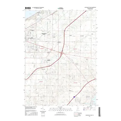 2016 Michigan City East2016 Print · USGSCoastal LaPorte County shows its modern residential and aviation landscape in the years following the turn of the millennium. Researchers can pinpoint several local burial grounds like Cross Cem and Lows Cem or trace the development of Orchard Highlands.
 - 2019 Map of Springville, 2019 Print
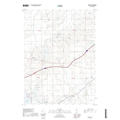 2019 Springville2019 Print · USGSLaPorte County at the close of the 2010s shows a landscape of rural crossroads and intricate waterways near the city of LaPorte. Researchers can locate several historic burial sites like Shippeeburg Cem and Miller Griffin Cem or trace the Galena River and Little Kankakee River.
 - 2019 Map of LaPorte West, 2019 Print
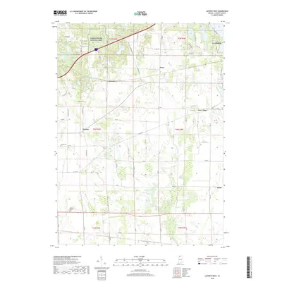 2019 LaPorte West2019 Print · USGSThe western outskirts of La Porte and its surrounding prairie townships are documented here during the late 2010s. Genealogists and local historians can locate the Miriam Benedict Cem, the village of Pinhook, and the unique wetlands of Pinhook Bog.
Showing maps 1-25 of 31
Top cities near La Porte
- Michigan City historical maps
- Westville historical maps
- Springfield historical maps
- Kankakee historical maps
- Trail Creek historical maps
- Walkerton historical maps
See more
Top neighborhoods of La Porte
- NewPorte Landing historical maps
- Plaza 618 historical maps
- Monroe Manor historical maps
- Regency Place historical maps
- Whispering Meadows historical maps
Frequently asked questions
- What are the different types of historical maps available for La Porte?
- What is the oldest map of La Porte?
- Where can I purchase historical maps of La Porte for my home or office?
- Where can I download high-res historical maps of La Porte?
- Are there historical topographic maps available for La Porte?
- Is there historical aerial imagery available for La Porte?
- Where are historical maps of La Porte sourced from?