Old Maps of Dike, Iowa for Academic Research
Study the evolution of Dike with 15 high-resolution historic maps. Whether you're teaching, researching, or modeling changes in land use, these maps provide essential visual documentation of urban, environmental, and geographic change.
- Analyze long-term change: Track patterns in development, transportation, and natural features.
- Ideal for environmental or urban studies: Support academic projects with primary historical map data.
- Use in the classroom or lab: Educators and researchers rely on these maps to bring historical context to life.
These maps are a powerful tool for teaching, research, and visualizing how Dike has changed over the decades.
Dike, IA maps
(15)- 1954 Map of Waterloo, 1968 Print
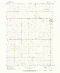
 1954 Waterloo1968 Print · USGSCentral Iowa at the height of its mid-century agricultural and rail boom features the growing hubs of Waterloo and Cedar Falls. Genealogists and researchers can trace the rail corridors of the Chicago Great Western and find local landmarks like Iowa State College and Brushy Ridge.4 unique versions available
 - 1955 Map of Waterloo
 1955 Waterloo1955 Print · USGSCentral Iowa in the mid-fifties presents a dense landscape of rail-connected farming towns and growing river cities. Researchers can trace ancestral roots and old transport routes through Waterloo, Marshalltown, and Ames, while locating rural Cemeteries and local Quarries.2 unique versions available
 - 1971 Map of Zaneta, 1973 Print
 1971 Zaneta1973 Print · USGSThe rural border of Grundy and Black Hawk Counties is captured here in the early seventies, showcasing a landscape of fertile creek bottoms and rail-side settlements. Researchers can locate family landmarks like St Marys Cemetery, the crossroads at Fredsville, and the Zaneta rail stop.
 - 1971 Map of Dike, 1973 Print
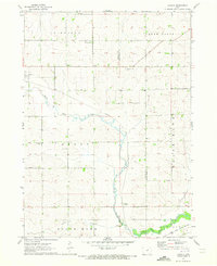
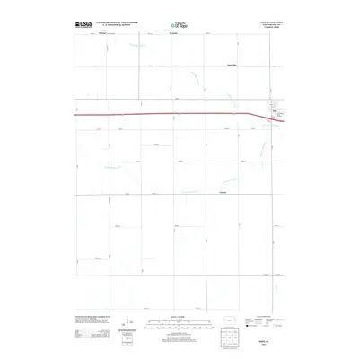
 1971 Dike1973 Print · USGSThe agricultural landscape of Grundy County is captured here in the early 1970s, centered on the railroad town of Dike. Genealogists can locate important regional landmarks like Lincoln Center Ch, Elmwood Cem, and the tracks of the Chicago and North Western.
 - 1984 Map of Marshalltown, 1985 Print
 1984 Marshalltown1985 Print · USGSMid-Iowa's agricultural landscape and river corridors come alive in the mid-eighties as the Cedar River connects industrial hubs and small farm towns. Trace the tracks of the CHICAGO AND NORTHWESTERN or locate local landmarks like Union Grove State Park and Cedar Falls Junction.2 unique versions available
 - 2010 Map of Zaneta, 2010 Print
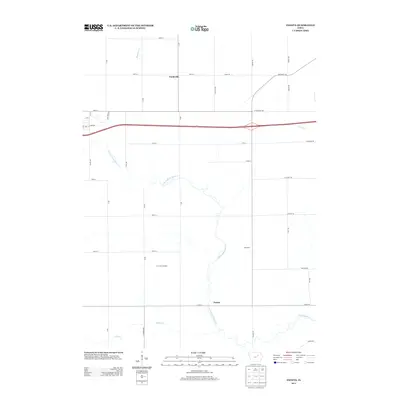
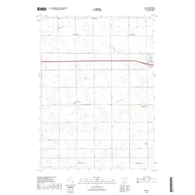
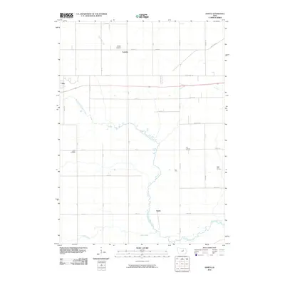 2010 Zaneta2010 Print · USGSCovers Dike, including Cedar Falls, Fredsville, and other nearby areas
 - 2010 Map of Dike, 2010 Print
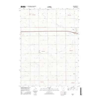
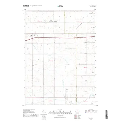
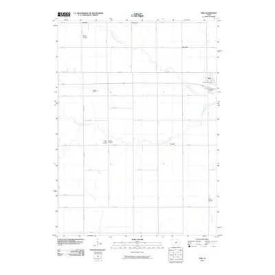 2010 Dike2010 Print · USGSCovers Dike, including Grundy County, United States, and other nearby areas
 - 2013 Map of Dike, 2013 Print
 2013 Dike2013 Print · USGSCovers Dike, including Grundy County, United States, and other nearby areas
 - 2013 Map of Zaneta, 2013 Print
 2013 Zaneta2013 Print · USGSCovers Dike, including Cedar Falls, Fredsville, and other nearby areas
 - 2015 Map of Zaneta, 2015 Print
 2015 Zaneta2015 Print · USGSCovers Dike, including Cedar Falls, Fredsville, and other nearby areas
 - 2015 Map of Dike, 2015 Print
 2015 Dike2015 Print · USGSCovers Dike, including Grundy County, United States, and other nearby areas
 - 2018 Map of Zaneta, 2018 Print
 2018 Zaneta2018 Print · USGSCovers Dike, including Cedar Falls, Fredsville, and other nearby areas
 - 2018 Map of Dike, 2018 Print
 2018 Dike2018 Print · USGSCovers Dike, including Grundy County, United States, and other nearby areas
 - 2022 Map of Dike, 2022 Print
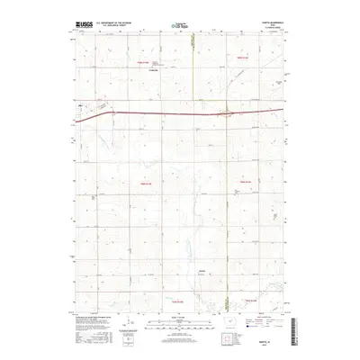
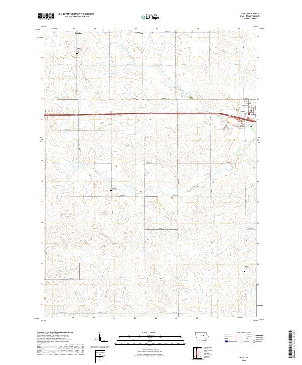 2022 Dike2022 Print · USGSGrundy County farmland and the town of Dike are shown here in the early twenty-first century as the landscape maintains its deep agricultural roots. Genealogists can trace family sites at Elmwood Cem or Lincoln Township Cem and locate smaller settlements like Swanton.
 - 2022 Map of Zaneta, 2022 Print
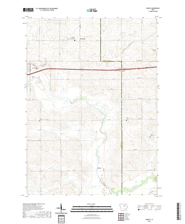 2022 Zaneta2022 Print · USGSThe rural border of Grundy and Black Hawk counties comes into focus in this recent survey of Iowa's agricultural heartland. Researchers can locate legacy family sites and burial grounds like Zion Lutheran Cem, Cedar Valley Cem, and the small settlement of Zaneta.
End of results
Showing maps 1-15 of 15
Top cities near Dike
- Waterloo historical maps
- Cedar Falls historical maps
- Grundy Center historical maps
- Hudson historical maps
- Parkersburg historical maps
- Reinbeck historical maps
See more
Frequently asked questions
- What are the different types of historical maps available for Dike?
- What is the oldest map of Dike?
- Where can I purchase historical maps of Dike for my home or office?
- Where can I download high-res historical maps of Dike?
- Are there historical topographic maps available for Dike?
- Is there historical aerial imagery available for Dike?
- Where are historical maps of Dike sourced from?