2020s Maps of Marion County, Iowa
Explore 20 historic maps of Marion County from the 2020s. These maps offer a rare glimpse into what life looked like during the 2020s — showing old roads, neighborhoods, homes, and landmarks that have changed or disappeared over time.
Whether you're researching your family's past, planning a metal detecting trip, or studying how Marion County's landscape evolved across the 2020s, these high-resolution maps are a powerful tool for exploring the history of this region.
- Focus on a specific era: All maps on this page are from the 2020s, giving you a focused view of this time period.
- See what’s changed: Compare century-old streets, trails, and buildings to today's modern landscape using overlays and satellite layers.
- Research with precision: Use these maps for genealogy, historical research, land use analysis, or educational projects.
- View, download, or print: Maps are fully viewable online in high resolution, and can be downloaded or printed for your own records.
Start exploring Marion County's history through authentic maps from the 2020s. This is your window into the past.
Marion County, IA maps
(20)- 2022 Map of Harvey, 2022 Print
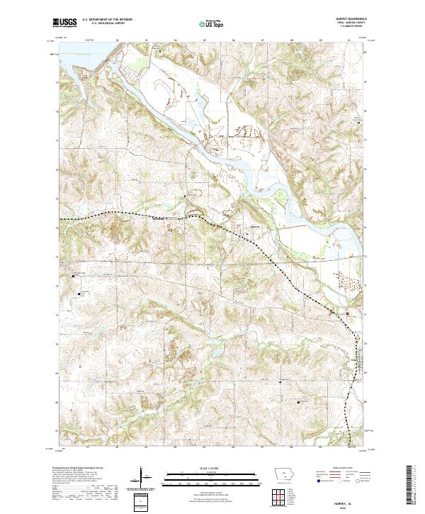 2022 Harvey2022 Print · USGSIn the river valley of Marion County, this contemporary survey illustrates the rural landscape between the Des Moines River and Lake Red Rock. Genealogists and local historians can pinpoint numerous historic burial sites, including Porter Grove Cem, Eureka Cem, and Gregory Cem.
 - 2022 Map of Peoria, 2022 Print
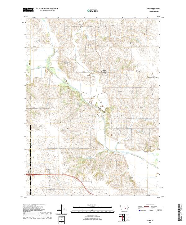 2022 Peoria2022 Print · USGSMahaska County agricultural lands are captured here in the early 2020s as the South Skunk River flows past rural townships. Family historians can locate several local burial sites like Peoria Cem, Black Oak Cem, and the Centennial Cem.
 - 2022 Map of Buxton, 2022 Print
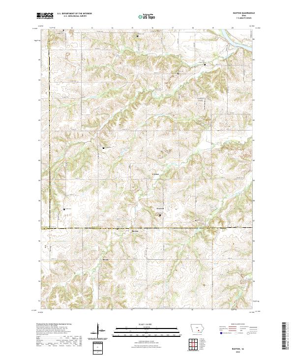 2022 Buxton2022 Print · USGSMahaska County and the surrounding tri-county borderlands are captured here in the contemporary era. Genealogists can trace family footprints across numerous rural burial sites like Buxton Cemetery and Smith Cemetery, or locate the settlements of Buxton and Miami.
 - 2022 Map of Attica, 2022 Print
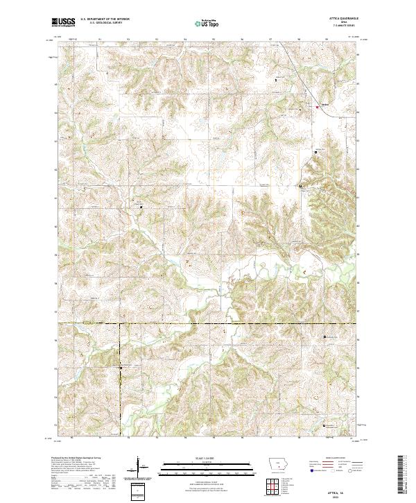 2022 Attica2022 Print · USGSMarion County and the surrounding tri-county border lands are captured here in the early twenty-first century. Genealogists can locate numerous rural burial grounds including Mormon Cemetery, Olive Chapel Cemetery, and Eldorado Cemetery.
 - 2022 Map of Lovilia, 2022 Print
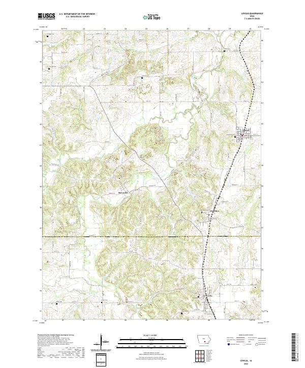 2022 Lovilia2022 Print · USGSThe rural border between Marion and Monroe counties is captured here in the early twenty-first century, showcasing a landscape of dispersed agricultural communities. Genealogists can locate several local burial grounds including Woodlawn Cem, Saint Peters Cem, and Greenlawn Cem near Lovilia and Bussey.
 - 2022 Map of Killduff, 2022 Print
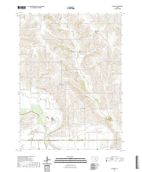 2022 Killduff2022 Print · USGSJasper County farmland and the drainage of the South Skunk River are captured here in the early twenty-first century. Genealogists can locate several historic burial grounds, including Hewitt Cem, Saint Andrews Cem, and Dearinger Cem near the village of Galesburg.
 - 2022 Map of Leighton, 2022 Print
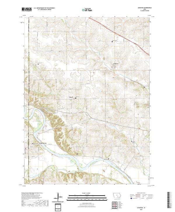 2022 Leighton2022 Print · USGSMahaska County agricultural lands and the river valley are captured here in the early twenty-first century. Researchers can trace rural lineages through numerous burial sites like Mahaska County Farm Cem, Smith Cem, and the settlement of Leighton.
 - 2022 Map of Beech, 2022 Print
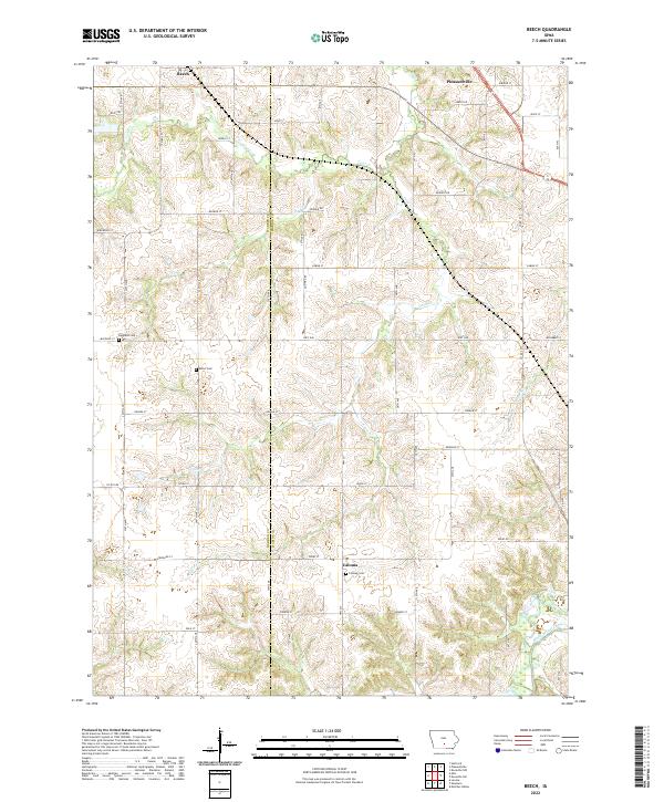 2022 Beech2022 Print · USGSMarion and Warren counties are shown here in the early twenty-first century, revealing a landscape of rural settlements and winding creek valleys. Researchers can locate burial sites like Highland Cem and Motor Cem or trace the paths of Coal Cr and White Breast Creek.
 - 2022 Map of Knoxville SW, 2022 Print
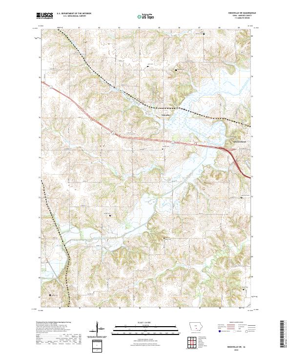 2022 Knoxville SW2022 Print · USGSMarion County southwest of Knoxville is shown here in the 2020s, where the rural prairie landscape meets growing residential developments. Genealogists can trace several historic burial grounds including Stickle Cem, Poor Farm Cem, and Watkins Cem.
 - 2022 Map of Knoxville NW, 2022 Print
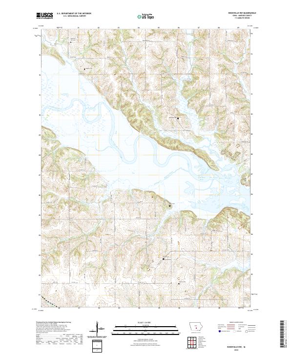 2022 Knoxville NW2022 Print · USGSMarion County's river valley and rural uplands are shown in detail as they appeared in the early twenty-first century. Genealogists and local historians can trace legacy land markers like Dunreath Cem and Rees Cem near the shores of Lake Red Rock.
 - 2022 Map of Monroe, 2022 Print
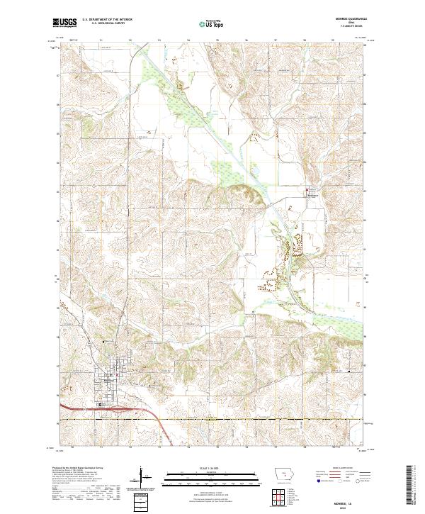 2022 Monroe2022 Print · USGSMonroe and the surrounding Jasper County farmlands are documented here in the early twenty-first century, showing the intersection of rural life and river geography. Researchers can locate family heritage sites like Seay Cem and Fairview Cem or trace the course of the South Skunk River.
 - 2022 Map of Knoxville, 2022 Print
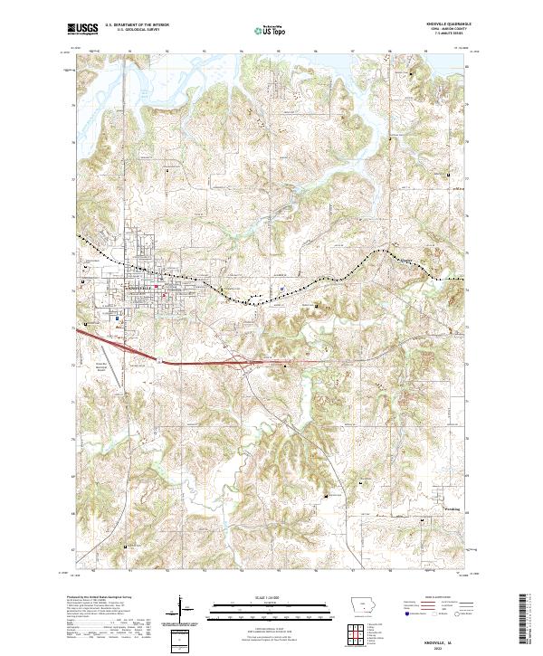 2022 Knoxville2022 Print · USGSKnoxville and its surrounding Marion County townships are shown here in the early twenty-first century, centered on the county seat. Researchers can locate numerous historic burial sites like Monster Cem and Bybee Cem, or trace the outlying communities of Flagler and Pershing.
 - 2022 Map of Newbern, 2022 Print
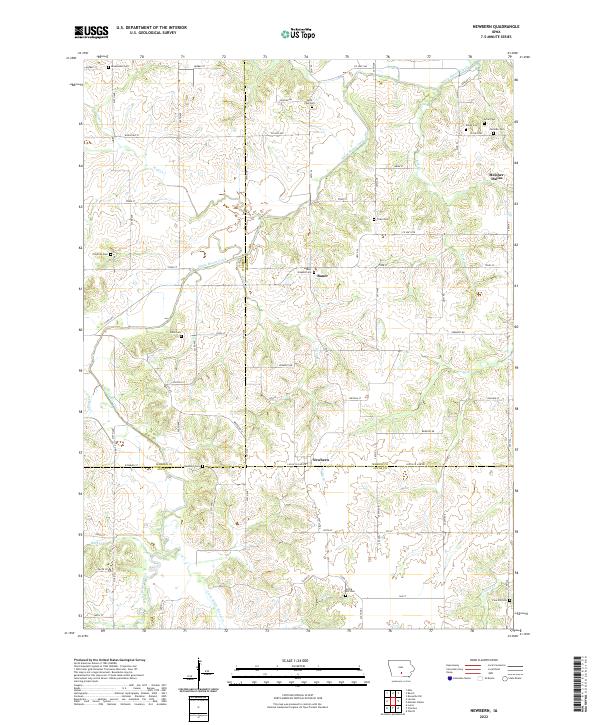 2022 Newbern2022 Print · USGSMarion and Lucas counties are shown here in the 2020s, highlighting the intersection of rural townships and winding creek valleys. Genealogists can locate numerous burial sites including Newbern Cem, Saint Josephs Cem, and Arian Cem near the town of Bauer.
 - 2022 Map of Pleasantville, 2022 Print
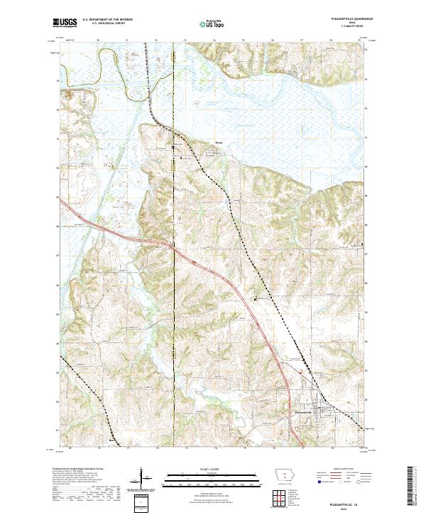 2022 Pleasantville2022 Print · USGSThe river bottomlands of Marion and Warren counties are captured here in the early twenty-first century as they surround the settlements of Swan and Pleasantville. Researchers can trace family sites at Wheeling Cem or follow the winding course of the Des Moines River and its tributary Coal Cr.
 - 2022 Map of Runnells, 2022 Print
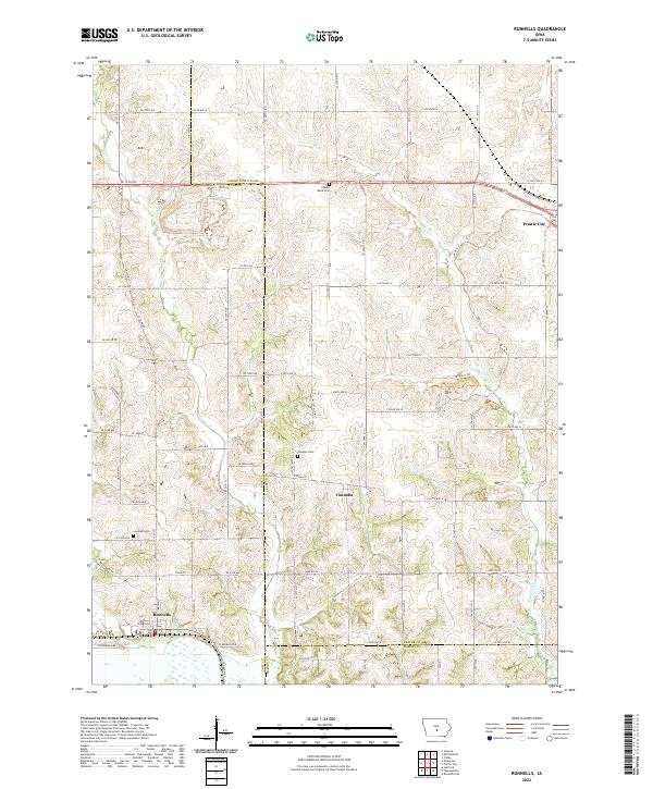 2022 Runnells2022 Print · USGSThe rural borderlands of Polk, Jasper, and Marion counties are captured here in the early twenty-first century. Researchers can locate family landmarks such as the Lowman Cemetery and Vandalia Cemetery near the settlements of Runnells and Vandalia.
 - 2022 Map of Melcher-Dallas, 2022 Print
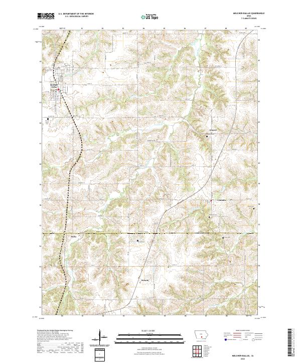 2022 Melcher-Dallas2022 Print · USGSMarion and Lucas Counties are captured here in the early twenty-first century, showcasing the rural landscapes surrounding Melcher-Dallas. Family researchers can trace local lineage through several burial grounds like Sacred Heart Cem and Clear Cem.
 - 2022 Map of Otley, 2022 Print
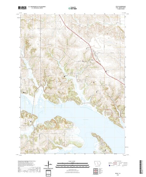 2022 Otley2022 Print · USGSMarion County is captured here at the beginning of the 2020s, dominated by the waters of Lake Red Rock and the village of Otley. Genealogists can trace numerous family burial grounds like Pendroy Cem, Mikesell Cem, and Fisher Cem across the rural landscape.
 - 2022 Map of Sully, 2022 Print
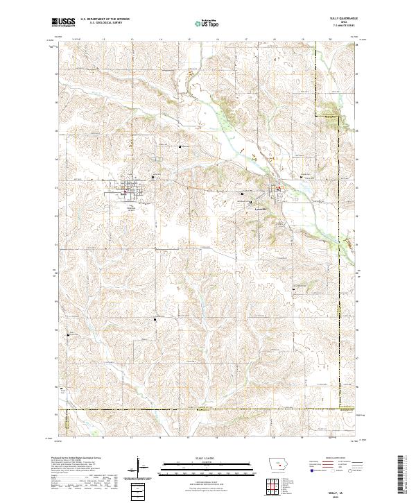 2022 Sully2022 Print · USGSJasper County agricultural lands and river valleys are captured here in the early twenty-first century. Researchers can trace rural lineages through numerous local sites like Sully Cem, Dairy Grove Cem, and the riverfront community of Lynnville.
 - 2022 Map of Pella, 2022 Print
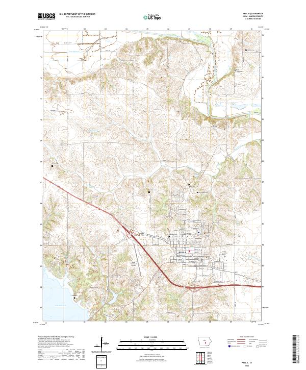 2022 Pella2022 Print · USGSThe town of Pella and its surrounding Marion County countryside are shown in detail during the early 2020s. Trace local history at Central College or locate ancestral burial sites at Oak Wood Cem and the rural Parsons Cem.
 - 2023 Map of Prairie City, 2023 Print
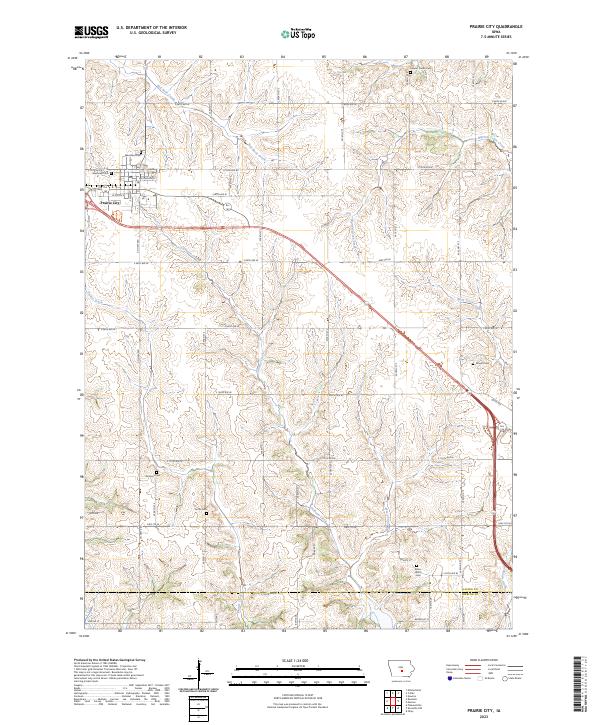 2023 Prairie City2023 Print · USGSPrairie City and the surrounding Jasper County countryside are shown here in the 2020s, characterized by expansive tallgrass prairie restorations. Researchers can locate numerous local burial sites including Dowler Cem and Griffis Cem near Calhoun Creek.
End of results
Showing maps 1-20 of 20
Frequently asked questions
- What are the different types of historical maps available for Marion County?
- What is the oldest map of Marion County?
- Where can I purchase historical maps of Marion County for my home or office?
- Where can I download high-res historical maps of Marion County?
- Are there historical topographic maps available for Marion County?
- Is there historical aerial imagery available for Marion County?
- Where are historical maps of Marion County sourced from?