Old Maps of Ridgeway, Iowa for Metal Detecting
Plan your next treasure hunt with 23 historic maps of Ridgeway. Find old homesites, ghost towns, trails, and gathering spots that may be lost to time — perfect for identifying promising metal detecting locations.
- Locate forgotten sites: Uncover places like long-lost settlements, abandoned rail lines, or gathering spots.
- Plan better hunts: Use map overlays combined with LiDAR or satellite views to narrow in on historically rich areas.
- Made for detectorists: Thousands of hobbyists use these maps to discover relics, coins, and hidden history.
Use these historic maps to boost your research and find new opportunities beneath the surface of Ridgeway.
Ridgeway, IA maps
(23)- 1906 Map of Decorah
 1906 Decorah1906 Print · USGSNortheast Iowa at the turn of the century was a land of intricate river valleys and vital railroad junctions. Genealogists can trace the early rail-and-river economy through landmarks like Decorah, the historic site of Fort Atkinson, and the junction at Calmar.3 unique versions available
 - 1954 Map of Mason City, 1967 Print
 1954 Mason City1967 Print · USGSSouthern Minnesota and northern Iowa are shown here at the height of the mid-century rail era, centered on the regional hubs of Mason City and Rochester. Researchers can trace the vanished paths of the Chicago Great Western and find local landmarks like Pilot Knob and Bear Lake.2 unique versions available
 - 1957 Map of Mason City
 1957 Mason City1957 Print · USGSThe Minnesota-Iowa border region comes alive in this mid-century survey, from the industrial plants of Mason City to the medical hub of Rochester. Researchers can trace the rail-and-river economy through the Chicago Great Western Railway and the Shell Rock River.
 - 1958 Map of Mason City
 1958 Mason City1958 Print · USGSSouthern Minnesota and northern Iowa are shown during the mid-fifties when railroads still anchored the regional economy. Genealogists and historians can trace the intricate rail networks of the Illinois Central and find local landmarks in Mason City, Albert Lea, and Austin.
 - 1958 Map of La Crosse, 1979 Print
 1958 La Crosse1979 Print · USGSThe Driftless Area of Wisconsin and Iowa is captured here during the late seventies, showing the intricate river valleys and ridge-top settlements. Genealogists and historians can trace the rail corridors of the Soo Line or locate landmarks like Grandad Bluff and Effigy Mounds National Monument.2 unique versions available
 - 1961 Map of La Crosse
 1961 La Crosse1961 Print · USGSThe Driftless Area at the start of the 1960s reveals a complex network of river towns and rail lines along the Mississippi River. Genealogists and historians can trace old settlements like New Amsterdam and Wyattville or locate major landmarks like Camp McCoy Military Reservation and Effigy Mounds National Monument.
 - 1965 Map of La Crosse
 1965 La Crosse1965 Print · USGSThe Driftless Area and the Upper Mississippi valley are captured here during a period of steady mid-century growth. Researchers can trace the rail lines of the Chicago and North Western or locate riverfront sites like Effigy Mounds National Monument and the Camp McCoy Military Reservation.
 - 1975 Map of Decorah 2 SW, 1977 Print
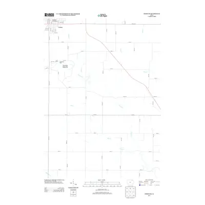
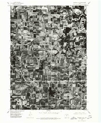 1975 Decorah 2 SW1977 Print · USGSWinneshiek County's agricultural landscape is captured through aerial photography in the mid-1970s. Trace the rural development and the precise layout of the settlement at Ridgeway during this era of Iowa farming.
 - 1976 Map of La Crosse
 1976 La Crosse1976 Print · USGSThe Driftless Area and Mississippi River valley are captured here in the mid-seventies, showing a landscape of deep coulees and river commerce. Genealogists can trace family footprints from La Crosse to smaller hamlets like Newburg Corners and Witoka.
 - 1981 Map of Ridgeway, 1982 Print
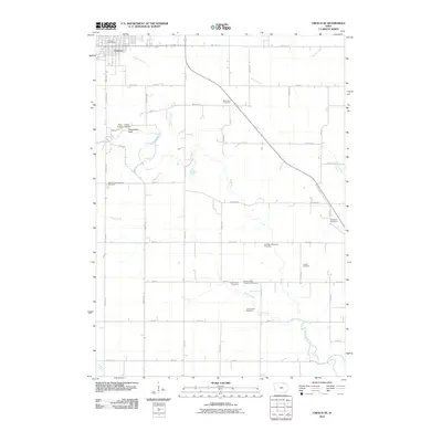
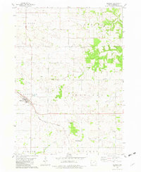 1981 Ridgeway1982 Print · USGSRidgeway and the surrounding townships are captured in the early eighties as a well-ordered landscape of prairie farms and railroad corridors. Genealogists and local historians can locate rural landmarks like Madison Settlement, the Lincoln Cem, and the Orleans Ch.
 - 1981 Map of Cresco SE, 1982 Print
 1981 Cresco SE1982 Print · USGSNortheast Iowa farmland and conservation areas are captured here in the early eighties as the Turkey River winds through the border of Howard and Winneshiek counties. You can trace the Milwaukee Road rail line or locate rural landmarks like Community Chapel and United Cem.
 - 1985 Map of Charles City
 1985 Charles City1985 Print · USGSNorthern Iowa and the Minnesota borderlands are mapped here in the mid-1980s as a thriving network of rail-side towns and river valleys. Trace local history through the Reilly Settlement, Stacyville Junction, and aviation sites like Ellen Church Field.2 unique versions available
 - 1985 Map of Decorah
 1985 Decorah1985 Print · USGSNortheast Iowa and western Wisconsin in the mid-eighties show a landscape of high bluffs and river valleys shaped by the Upper Iowa and Mississippi Rivers. Genealogists and historians can trace the paths of the Chicago Milwaukee St Paul and Pacific railroad or locate the National Cemetery and the ancient earthworks at Effigy Mounds National Monument.2 unique versions available
 - 2010 Map of Ridgeway, 2010 Print
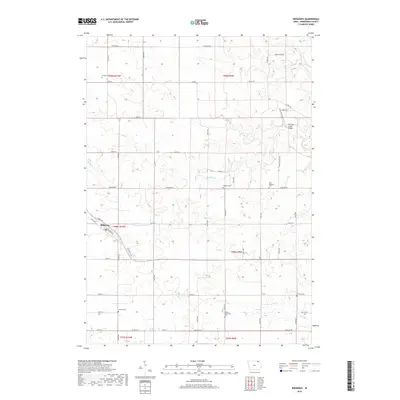
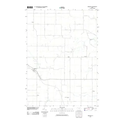 2010 Ridgeway2010 Print · USGSCovers Ridgeway, including Winneshiek County, United States, and other nearby areas
 - 2010 Map of Cresco SE, 2010 Print
 2010 Cresco SE2010 Print · USGSCovers Ridgeway, including Cresco, Winneshiek County, and other nearby areas
 - 2013 Map of Ridgeway, 2013 Print
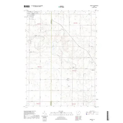
 2013 Ridgeway2013 Print · USGSCovers Ridgeway, including Winneshiek County, United States, and other nearby areas
 - 2013 Map of Cresco SE, 2013 Print
 2013 Cresco SE2013 Print · USGSCovers Ridgeway, including Cresco, Winneshiek County, and other nearby areas
 - 2015 Map of Ridgeway, 2015 Print
 2015 Ridgeway2015 Print · USGSCovers Ridgeway, including Winneshiek County, United States, and other nearby areas
 - 2015 Map of Cresco SE, 2015 Print
 2015 Cresco SE2015 Print · USGSCovers Ridgeway, including Cresco, Winneshiek County, and other nearby areas
 - 2018 Map of Ridgeway, 2018 Print
 2018 Ridgeway2018 Print · USGSCovers Ridgeway, including Winneshiek County, United States, and other nearby areas
 - 2018 Map of Cresco SE, 2018 Print
 2018 Cresco SE2018 Print · USGSCovers Ridgeway, including Cresco, Winneshiek County, and other nearby areas
 - 2022 Map of Cresco SE, 2022 Print
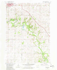
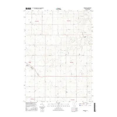
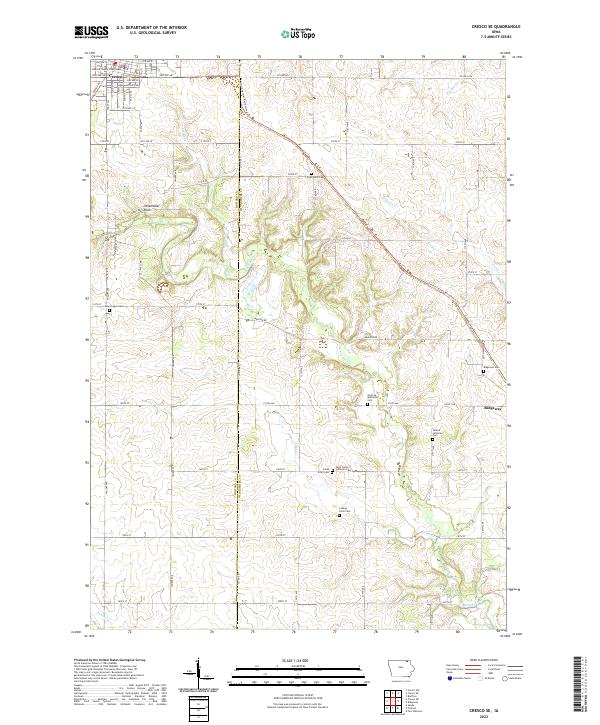 2022 Cresco SE2022 Print · USGSHoward and Winneshiek counties are documented here in the early twenty-first century, showing the established rural grid around Cresco. You can trace old family burials at Ryan Farm Cem and Ladwig Farm Cem or follow the Turkey River through the heart of the region.
 - 2022 Map of Ridgeway, 2022 Print
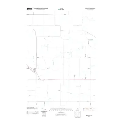
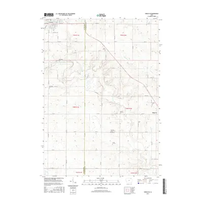
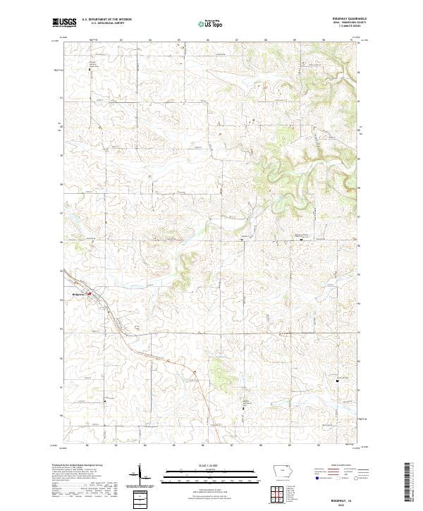 2022 Ridgeway2022 Print · USGSWinneshiek County at the start of the 2020s remains a landscape of traditional farmsteads and historic rural congregations. Local researchers can trace family origins at Madison Settlement Cem, the Mcintosh Cem, and the village of Ridgeway.
End of results
Showing maps 1-23 of 23
Top cities near Ridgeway
- Decorah historical maps
- Cresco historical maps
- Calmar historical maps
- Ossian historical maps
- Mabel historical maps
- Lawler historical maps
See more
Frequently asked questions
- What are the different types of historical maps available for Ridgeway?
- What is the oldest map of Ridgeway?
- Where can I purchase historical maps of Ridgeway for my home or office?
- Where can I download high-res historical maps of Ridgeway?
- Are there historical topographic maps available for Ridgeway?
- Is there historical aerial imagery available for Ridgeway?
- Where are historical maps of Ridgeway sourced from?