Old Maps of Coolidge, Kansas for Hiking & Exploration
Hike through history with 23 historic maps of Coolidge. Explore old trails, ghost towns, and forgotten backroads — perfect for outdoor adventurers and local explorers.
- Rediscover forgotten places: Map out old mining camps, roads, and footpaths that no longer exist on modern maps.
- Layer with modern tools: Combine with LiDAR or satellite views to plan hikes through historical terrain.
- Made for exploration: Popular among hikers, overlanders, and local history lovers.
Use these maps to find adventure and explore the hidden past of Coolidge.
Coolidge, KS maps
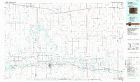
(23)- 1890 Map of Granada, 1962 Print
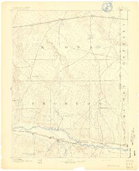
 1890 Granada1962 Print · USGSSoutheast Colorado at the close of the nineteenth century was a landscape of expanding steel and water. Researchers can trace early railroad developments along the Missouri Pacific Railroad and locate pioneer outposts like Ellis Ranch or Granada.
 - 1892 Map of Granada
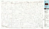
 1892 Granada1892 Print · USGSThe high plains of eastern Colorado and western Kansas meet here in the late nineteenth century during a period of rapid railroad expansion. Researchers can trace the dual tracks of the Missouri Pacific Railroad and the Arkansas River route, locating early ranching landmarks like Ellis Rancho and Watsons Rancho.
 - 1894 Map of Granada
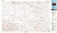
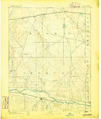 1894 Granada1894 Print · USGSSoutheast Colorado and the Kansas borderlands appear here in the 1890s as the railroad and river systems reshaped the plains. Genealogists and historians can trace early holdings like Ellis Ranch and vanished rail stops from Arden to Adana.4 unique versions available
 - 1953 Map of Holly East, 1954 Print
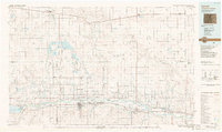
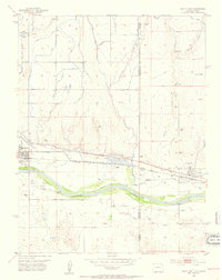 1953 Holly East1954 Print · USGSThe Arkansas River valley at the Colorado-Kansas border was a vital transit corridor in the early fifties. Historians can trace the Old Santa Fe Trail past the Site of Old Trail City and the rail-side towns of Holly and Coolidge.4 unique versions available
 - 1954 Map of Lamar, 1964 Print
 1954 Lamar1964 Print · USGSSoutheastern Colorado and the Kansas borderlands appear here in the mid-fifties, dominated by the vital Arkansas River irrigation network. Researchers can trace the development of river towns like Lamar and La Junta alongside the Amity Cemetery and several major reservoirs.3 unique versions available
 - 1955 Map of Scott City, 1969 Print
 1955 Scott City1969 Print · USGSWestern Kansas in the mid-fifties is captured here as a landscape of rural schoolhouses and significant rail corridors. Family historians can trace the locations of Skyline and Beaver Creek Schools or follow the Union Pacific line through Oakley and Sharon Springs.4 unique versions available
 - 1958 Map of Lamar
 1958 Lamar1958 Print · USGSThe High Plains of Eastern Colorado and Western Kansas in the late fifties reveal a landscape tied to the Arkansas River and the rails. Trace the heritage of the river valley through Fort Lyon, the Atchison Topeka and Santa Fe RR, and rural landmarks like Kendrick Church.2 unique versions available
 - 1958 Map of Scott City
 1958 Scott City1958 Print · USGSWestern Kansas at the peak of the post-war era reveals a landscape of high-plains agriculture and vital rail junctions. Genealogists and historians can trace old country school sites like Prairie Bell School, the landmark Chalk Pyramids, and small stops along the Union Pacific and Missouri Pacific.
 - 1966 Map of Tribune 3 SW, 1967 Print
 1966 Tribune 3 SW1967 Print · USGSWestern Kansas at the height of the mid-sixties reveals a landscape defined by the Arkansas River and its irrigation history. Researchers can trace the path of the Atchison Topeka and Santa Fe railroad and find the old Coolidge Cem and Medway settlement.2 unique versions available
 - 1984 Map of Lamar, 1985 Print
 1984 Lamar1985 Print · USGSSoutheastern Colorado and the Kansas borderlands appear here in the mid-1980s as a landscape shaped by irrigation and dual railroad lines. Researchers can trace the river-valley towns of Lamar and Granada or locate prairie outposts like Towner and Brandon.
 - 1985 Map of Leoti
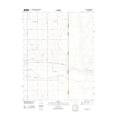
 1985 Leoti1985 Print · USGSWestern Kansas at the mid-eighties was a landscape defined by its rail-side grain stops and a grid of rural section roads. Researchers can trace the path of the Missouri Pacific through Leoti or locate small landmarks like Mark Hoard Memorial Airfield and the County Cem.
 - 1987 Map of Leoti, 1988 Print
 1987 Leoti1988 Print · USGSWestern Kansas at the close of the eighties shows a landscape defined by industrial gas fields and a sprawling railroad network. Researchers can trace small-town development and rural infrastructure near Leoti, Tribune, and the Mark Heard Memorial Airfield.
 - 1988 Map of Lamar
 1988 Lamar1988 Print · USGSSoutheastern Colorado and western Kansas reveal a landscape of deep history and complex irrigation in the late eighties. Researchers can trace the storied Santa Fe Trail and explore sites like Camp Amache and the Brandon Oil Field.
 - 2010 Map of East Bridge Creek South, 2010 Print
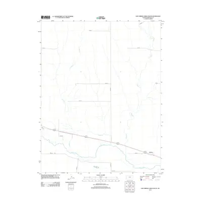
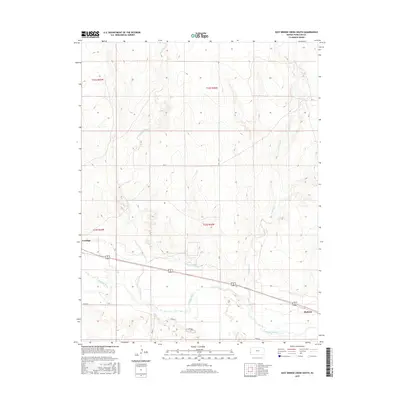
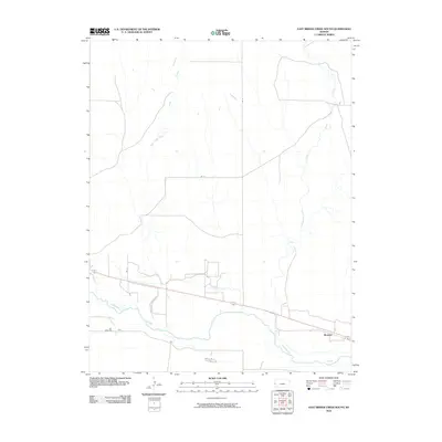 2010 East Bridge Creek South2010 Print · USGSCovers Coolidge, including Medway, Hamilton County, and other nearby areas
 - 2010 Map of Holly East, 2010 Print
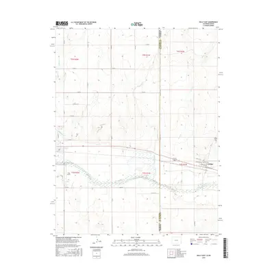
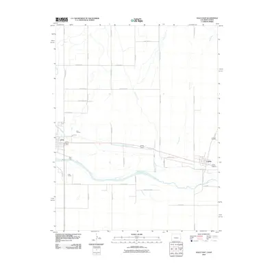 2010 Holly East2010 Print · USGSCovers Coolidge, including Holly, Prowers County, and other nearby areas
 - 2012 Map of East Bridge Creek South, 2012 Print
 2012 East Bridge Creek South2012 Print · USGSCovers Coolidge, including Medway, Hamilton County, and other nearby areas
 - 2013 Map of Holly East, 2013 Print
 2013 Holly East2013 Print · USGSCovers Coolidge, including Holly, Prowers County, and other nearby areas
 - 2015 Map of East Bridge Creek South, 2015 Print
 2015 East Bridge Creek South2015 Print · USGSCovers Coolidge, including Medway, Hamilton County, and other nearby areas
 - 2016 Map of Holly East, 2016 Print
 2016 Holly East2016 Print · USGSCovers Coolidge, including Holly, Prowers County, and other nearby areas
 - 2018 Map of East Bridge Creek South, 2018 Print
 2018 East Bridge Creek South2018 Print · USGSCovers Coolidge, including Medway, Hamilton County, and other nearby areas
 - 2019 Map of Holly East, 2019 Print
 2019 Holly East2019 Print · USGSCovers Coolidge, including Holly, Prowers County, and other nearby areas
 - 2022 Map of Holly East, 2022 Print
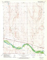
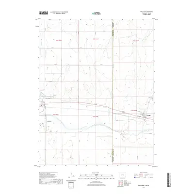
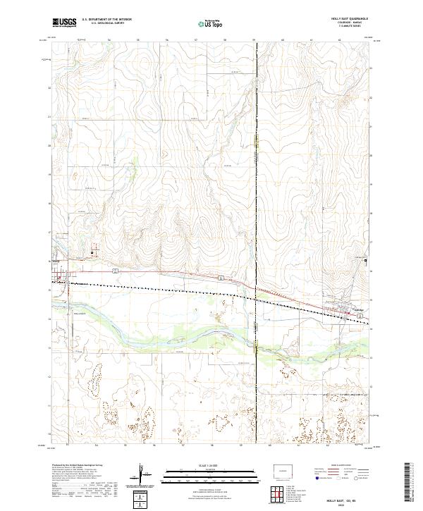 2022 Holly East2022 Print · USGSThe Colorado-Kansas border comes alive in this modern survey of the High Plains, where the Arkansas River links two neighboring states. Researchers can trace local history through sites like the Holly Cem, Coolidge settlement, and the Buffalo Canal.
 - 2022 Map of East Bridge Creek South, 2022 Print
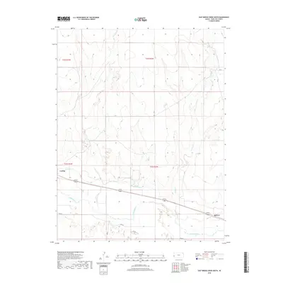
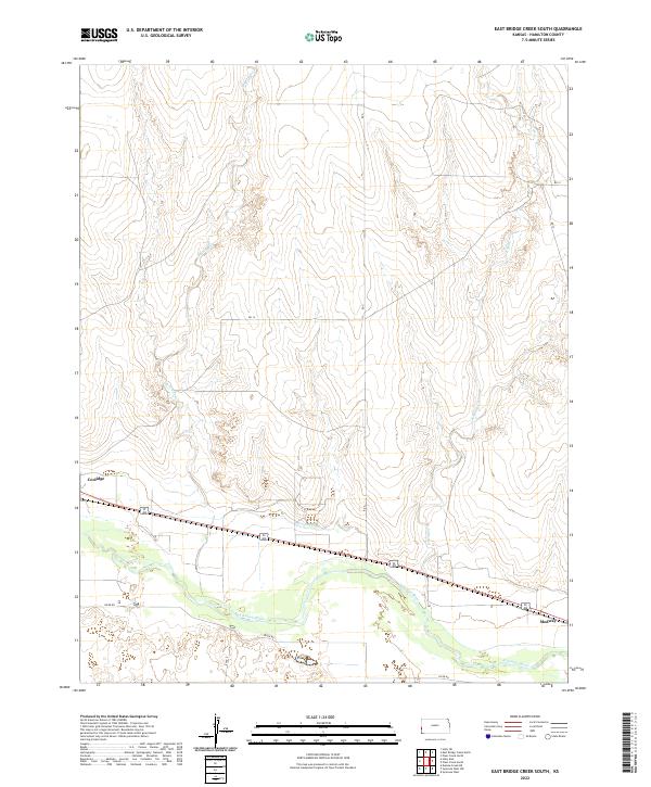 2022 East Bridge Creek South2022 Print · USGSWestern Kansas near the Colorado line is captured here as a landscape of river-fed agriculture and prairie transit. Researchers can trace the path of the Arkansas River and its impact on settlements like Coolidge and Medway, alongside the vital Frontier Ditch.
End of results
Showing maps 1-23 of 23
Top cities near Coolidge
Frequently asked questions
- What are the different types of historical maps available for Coolidge?
- What is the oldest map of Coolidge?
- Where can I purchase historical maps of Coolidge for my home or office?
- Where can I download high-res historical maps of Coolidge?
- Are there historical topographic maps available for Coolidge?
- Is there historical aerial imagery available for Coolidge?
- Where are historical maps of Coolidge sourced from?