2000-2009 Maps of Rawlins County, Kansas
Explore 27 historic maps of Rawlins County from 2000-2009. These maps offer a rare glimpse into what life looked like during the 2000s — showing old roads, neighborhoods, homes, and landmarks that have changed or disappeared over time.
Whether you're researching your family's past, planning a metal detecting trip, or studying how Rawlins County's landscape evolved across the 2000s, these high-resolution maps are a powerful tool for exploring the history of this region.
- Focus on a specific era: All maps on this page are from the 2000s, giving you a focused view of this time period.
- See what’s changed: Compare century-old streets, trails, and buildings to today's modern landscape using overlays and satellite layers.
- Research with precision: Use these maps for genealogy, historical research, land use analysis, or educational projects.
- View, download, or print: Maps are fully viewable online in high resolution, and can be downloaded or printed for your own records.
Start exploring Rawlins County's history through authentic maps from the 2000s. This is your window into the past.
Rawlins County, KS maps
(27)- 2009 Map of McDonald NE, 2009 Print
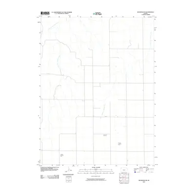 2009 McDonald NE2009 Print · USGSRawlins County at the turn of the millennium remains a place of vast horizons and sparse settlement. Genealogists and historians can trace the remote Mayflower Cemetery and private aviation landmarks like the Harper Landing Strip and Frisbie Landing Strip.
 - 2009 Map of McDonald, 2009 Print
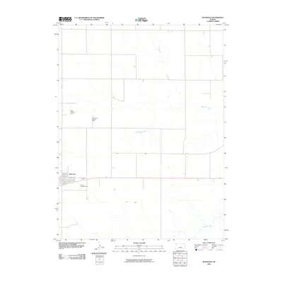 2009 McDonald2009 Print · USGSThe high plains of Rawlins County are mapped here in the early 21st century, showing the grid-based layout of a rural agricultural community. You can trace family aviation landmarks like the Jack Poore Landing Strip and Briney Landing Field near the town of McDonald.
 - 2009 Map of Dewey Ranch SW, 2009 Print
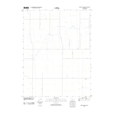 2009 Dewey Ranch SW2009 Print · USGSSherman County in the early twenty-first century remains defined by its agricultural grid and the gentle winding of Beaver Creek. Genealogists and local historians can pinpoint the location of Fairview Cemetery and trace early section roads like Rd A.
 - 2009 Map of Dewey Ranch SE, 2009 Print
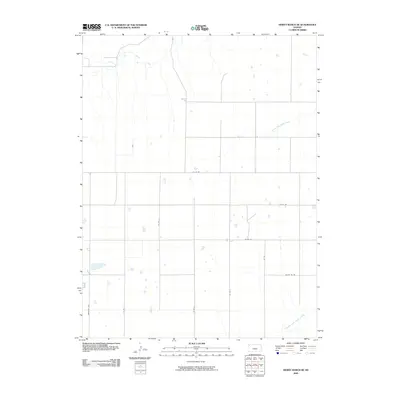 2009 Dewey Ranch SE2009 Print · USGSRawlins County at the turn of the 21st century remains a landscape of sprawling high-plains agriculture and deep creek drainages. Trace the rural grid and water sources like Beaver Creek, North Fork Sappa Creek, and the Brewster Hwy.
 - 2009 Map of McDonald SW, 2009 Print
 2009 McDonald SW2009 Print · USGSThe rural expanse of Rawlins County is seen here at the start of the 21st century, showing an established agricultural grid. Genealogists and local historians can locate burial sites at Evergreen Cemetery and Grace Cemetery near the banks of North Beaver Creek.
 - 2009 Map of Dewey Ranch, 2009 Print
 2009 Dewey Ranch2009 Print · USGSNorthwest Kansas ranching country is documented here in the early twenty-first century, showing the remote landscape of Rawlins County. Researchers can trace the watercourses of Little Beaver Creek and Beaver Creek or locate the namesake Dewey Ranch.
 - 2009 Map of Dewey Ranch NW, 2009 Print
 2009 Dewey Ranch NW2009 Print · USGSRawlins County ranching country is captured here during the first decade of the new millennium, showing the open Kansas plains and drainage basins. Researchers can trace the path of Little Beaver Creek and the grid of rural routes like Co Rd 32 and Co Rd F.
 - 2009 Map of McDonald NW, 2009 Print
 2009 McDonald NW2009 Print · USGSNorthwest Kansas at the turn of the millennium remains a land of expansive agricultural grids and isolated airfields. Researchers can trace the drainage of Jones Canyon Creek or locate local aviation sites like Stout Landing Strip and Wilkens Airport.
 - 2009 Map of Atwood NW, 2009 Print
 2009 Atwood NW2009 Print · USGSRawlins County at the start of the twenty-first century maintains its deep-rooted agricultural character and section-line geography. Genealogists can trace family footprints at several rural burial sites, including Saint Johns Cemetery, Enterprise Cemetery, and Immaculate Conception Cemetery.
 - 2009 Map of Chardon SW, 2009 Print
 2009 Chardon SW2009 Print · USGSWestern Kansas agricultural lands in Rawlins County are mapped here during the early twenty-first century. Genealogists and local historians can locate the Ilion Cemetery and trace the paths of the North Fork Sappa Creek and Middle Fork Sappa Creek.
 - 2009 Map of Chardon SE, 2009 Print
 2009 Chardon SE2009 Print · USGSRawlins County at the close of the first decade of the 2000s shows a landscape governed by the grid and the creek. Researchers can trace the path of Middle Fork Sappa Creek and the intersection of rural routes like CO RD AA and CO RD 16.
 - 2009 Map of Herndon NW, 2009 Print
 2009 Herndon NW2009 Print · USGSRawlins County at the turn of the 21st century remains a quiet expanse of agricultural grid lines and prairie drainage. Researchers can locate family landmarks like Trinity Cemetery and Hamper Cemetery, or trace the winding course of South Fork Driftwood Creek.
 - 2009 Map of Atwood NE, 2009 Print
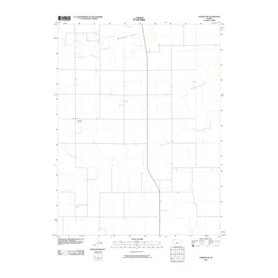 2009 Atwood NE2009 Print · USGSRawlins County, Kansas, is documented here in the early twenty-first century, showing a remote agricultural landscape shaped by its seasonal waterways. Genealogists and local historians can locate Saint Cyril Cemetery and trace the paths of South Fork Driftwood Creek and Wildhorse Canyon.
 - 2009 Map of Herndon, 2009 Print
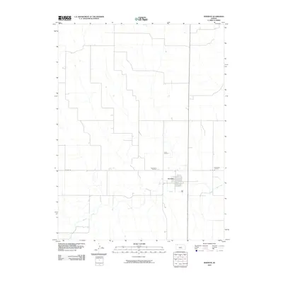 2009 Herndon2009 Print · USGSThe rural landscape of northwest Kansas is captured here in the late 2000s, centered on the town of Herndon. Genealogists and local historians can trace family roots at Union Cemetery, Saint Marys Cemetery, and the Evangelical Cemetery along the banks of Beaver Creek.
 - 2009 Map of Beardsley, 2009 Print
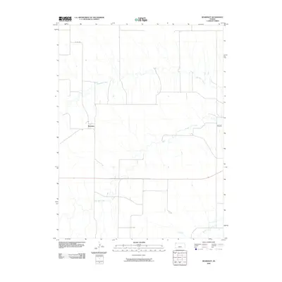 2009 Beardsley2009 Print · USGSRawlins County's prairie landscape is captured here in the early twenty-first century, centered on the small settlement of Beardsley. Genealogists and local historians can trace the rural landscape near the Blakeman Cemetery and along the banks of North Beaver Creek.
 - 2009 Map of Chardon, 2009 Print
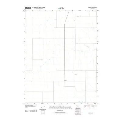 2009 Chardon2009 Print · USGSThe High Plains of Rawlins County are captured here just after the turn of the millennium, centered on the modest settlement of Chardon. Researchers can trace local lineage at the Chardon Cemetery or follow the meandering path of the North Fork Sappa Creek.
 - 2009 Map of Achilles, 2009 Print
 2009 Achilles2009 Print · USGSIn the High Plains of Northwest Kansas, this early twenty-first-century survey captures the rural settlement of Achilles and its surrounding farmstead grid. Genealogists can locate the Achilles Cemetery and trace the paths of the North Fork Sappa Creek and Middle Fork Sappa Creek.
 - 2009 Map of Achilles SE, 2009 Print
 2009 Achilles SE2009 Print · USGSRawlins County at the close of the 2000s remains defined by its rhythmic grid of section-line roads and prairie waterways. Trace the paths of South Fork Sappa Creek or the headwaters of Prairie Dog Creek across a landscape of rural junctions like CO RD CC and CO RD 32.
 - 2009 Map of Atwood, 2009 Print
 2009 Atwood2009 Print · USGSRawlins County at the turn of the twenty-first century reveals a landscape shaped by the convergence of the Beaver Creeks. Local historians and genealogists can trace the town layouts of Atwood and Blakeman or locate family sites near Mount Calvary Cemetery.
 - 2009 Map of Chardon NW, 2009 Print
 2009 Chardon NW2009 Print · USGSRawlins County in the early twenty-first century reveals a landscape defined by the traditional section-line grid and intermittent watercourses. Trace the winding paths of Beaver Creek and North Fork Sappa Creek as they cut through the rural expanses near CO RD H.
 - 2009 Map of Selden NW, 2009 Print
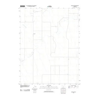 2009 Selden NW2009 Print · USGSRawlins County at the start of the twenty-first century reveals a quiet agricultural landscape shaped by the winding paths of the Sappa Creek forks. Genealogists and local historians can locate the Bassettville Cemetery and trace rural routes like CO RD 459.
 - 2009 Map of Oberlin SW, 2009 Print
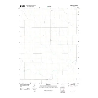 2009 Oberlin SW2009 Print · USGSRawlins County at the turn of the twenty-first century reveals a landscape of high-plains agriculture and vital watercourse draws. Genealogists and local historians can locate Saint Johns Cemetery or trace the paths of North Fork Sappa Creek and Lambs Draw.
 - 2009 Map of Traer, 2009 Print
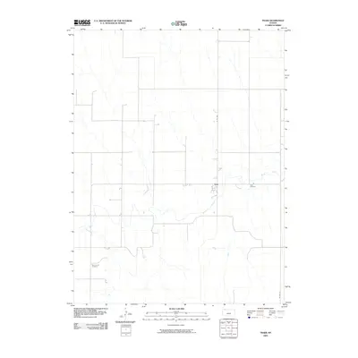 2009 Traer2009 Print · USGSDecatur County's agricultural landscape is captured here during the first decade of the millennium. Local historians and genealogists can trace the rural layout around Traer and locate family sites at Traer Cemetery or Saint Johns Cemetery.
 - 2009 Map of Long Draw South, 2009 Print
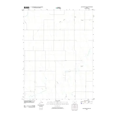 2009 Long Draw South2009 Print · USGSNorthwest Kansas at the start of the twenty-first century remains a landscape of wide-open terrain and deep-rooted rural history. Genealogists can locate specific burial grounds including Lone Star Cemetery and Saint Patrick Cemetery near South Fork Sappa Creek.
 - 2009 Map of Selden SW, 2009 Print
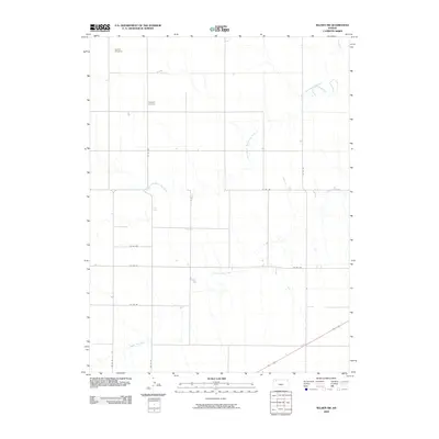 2009 Selden SW2009 Print · USGSRawlins County, Kansas, is shown here in the early twenty-first century as a landscape of structured prairie and winding waterways. Family historians can trace local roots at Hawkeye Cemetery or Rexford Cemetery along the banks of Prairie Dog Creek.
Showing maps 1-25 of 27
Top cities of Rawlins County
- Atwood historical maps
- McDonald historical maps
- Herndon historical maps
- Ludell historical maps
- Achilles historical maps
Frequently asked questions
- What are the different types of historical maps available for Rawlins County?
- What is the oldest map of Rawlins County?
- Where can I purchase historical maps of Rawlins County for my home or office?
- Where can I download high-res historical maps of Rawlins County?
- Are there historical topographic maps available for Rawlins County?
- Is there historical aerial imagery available for Rawlins County?
- Where are historical maps of Rawlins County sourced from?