Old Maps of Hutchinson, Kansas for Metal Detecting
Plan your next treasure hunt with 17 historic maps of Hutchinson. Find old homesites, ghost towns, trails, and gathering spots that may be lost to time — perfect for identifying promising metal detecting locations.
- Locate forgotten sites: Uncover places like long-lost settlements, abandoned rail lines, or gathering spots.
- Plan better hunts: Use map overlays combined with LiDAR or satellite views to narrow in on historically rich areas.
- Made for detectorists: Thousands of hobbyists use these maps to discover relics, coins, and hidden history.
Use these historic maps to boost your research and find new opportunities beneath the surface of Hutchinson.
Hutchinson, KS maps
(17)- 1891 Map of Hutchinson
 1891 Hutchinson1891 Print · USGSCentral Kansas at the close of the frontier era was a landscape of burgeoning rail towns and organized townships. Genealogists and local historians can trace the early footprints of Hutchinson and Mc Pherson alongside vanished locales like King City and Aiken.
 - 1893 Map of Hutchinson
 1893 Hutchinson1893 Print · USGSCentral Kansas at the close of the nineteenth century reveals a landscape undergoing a total transformation through railroad expansion and township settlement. Genealogists can trace early homestead patterns and family-named districts like Lone Tree and Garden while locating vanished stops along the Missouri Pacific Railway.5 unique versions available
 - 1955 Map of Hutchinson, 1967 Print
 1955 Hutchinson1967 Print · USGSCentral Kansas in the mid-sixties reveals a landscape of growing reservoirs and evolving transportation corridors. Trace the development of towns like Hutchinson and Abilene alongside the Union Pacific Railroad and the expanding Interstate 70.3 unique versions available
 - 1959 Map of Hutchinson
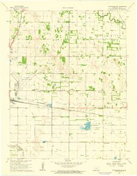
 1959 Hutchinson1959 Print · USGSCentral Kansas thrives at the intersection of rail and river in the mid-1950s, as post-war aviation infrastructure reshapes the prairie. Genealogists and historians can trace the paths of the AT&SF RR through Newton and Hutchinson, or locate military sites like Smoky Hill Air Force Base.2 unique versions available
 - 1960 Map of Hutchinson, 1961 Print
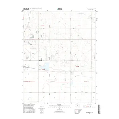
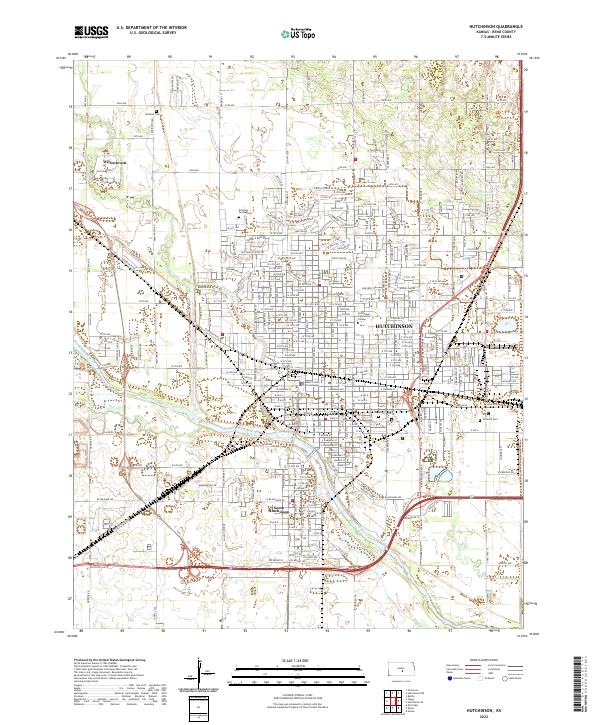
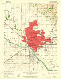 1960 Hutchinson1961 Print · USGSHutchinson and the Arkansas River valley appear in the early sixties as a bustling rail and industrial center. Researchers can trace dozens of local landmarks, including the State Fairground, the city Reformatory, and Fairlawn Cemetery.2 unique versions available
 - 1961 Map of Hutchinson SE, 1962 Print
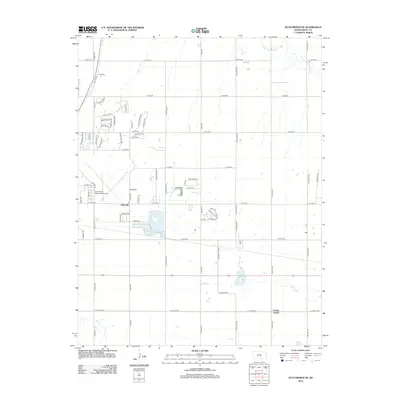
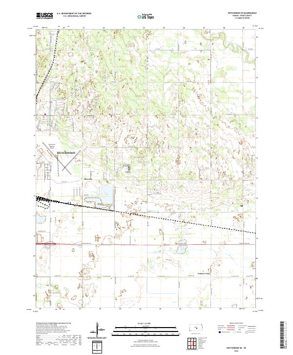
 1961 Hutchinson SE1962 Print · USGSSoutheast of Hutchinson in the early sixties, the Kansas prairie was a crossroads of major rail lines and emerging aviation. Trace the vanished local footprints of Obeeville, Kent, and Punkin Center alongside the shores of Brandy Lake.2 unique versions available
 - 1985 Map of Hutchinson
 1985 Hutchinson1985 Print · USGSCentral Kansas in the mid-1980s is revealed here as a landscape of productive plains, rail corridors, and growing college towns. Genealogists and historians can trace family plots at McPherson Cemetery and follow the routes of the Missouri Pacific through settlements like Moundridge and Hesston.2 unique versions available
 - 2009 Map of Hutchinson SE, 2009 Print
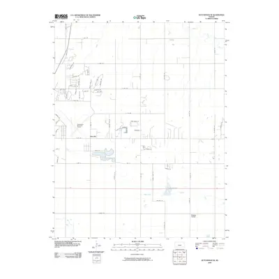 2009 Hutchinson SE2009 Print · USGSCovers Hutchinson, including Obeeville, Punkin Center, and other nearby areas
 - 2010 Map of Hutchinson, 2010 Print
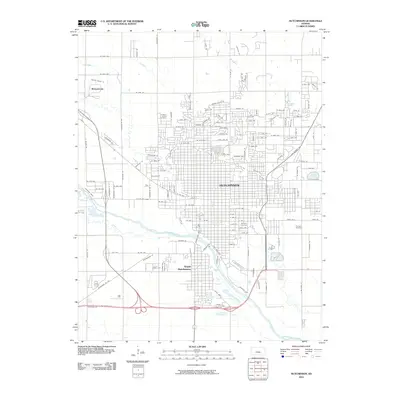 2010 Hutchinson2010 Print · USGSCovers Hutchinson, including South Hutchinson, Willowbrook, and other nearby areas
 - 2012 Map of Hutchinson SE, 2012 Print
 2012 Hutchinson SE2012 Print · USGSCovers Hutchinson, including Obeeville, Punkin Center, and other nearby areas
 - 2012 Map of Hutchinson, 2012 Print
 2012 Hutchinson2012 Print · USGSCovers Hutchinson, including South Hutchinson, Willowbrook, and other nearby areas
 - 2015 Map of Hutchinson, 2015 Print
 2015 Hutchinson2015 Print · USGSCovers Hutchinson, including South Hutchinson, Willowbrook, and other nearby areas
 - 2015 Map of Hutchinson SE, 2015 Print
 2015 Hutchinson SE2015 Print · USGSCovers Hutchinson, including Obeeville, Punkin Center, and other nearby areas
 - 2018 Map of Hutchinson, 2018 Print
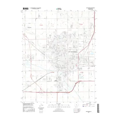
 2018 Hutchinson2018 Print · USGSCovers Hutchinson, including South Hutchinson, Willowbrook, and other nearby areas
 - 2018 Map of Hutchinson SE, 2018 Print
 2018 Hutchinson SE2018 Print · USGSCovers Hutchinson, including Obeeville, Punkin Center, and other nearby areas
 - 2022 Map of Hutchinson SE, 2022 Print
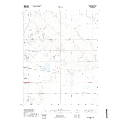
 2022 Hutchinson SE2022 Print · USGSReno County at the start of the 2020s shows the continued growth of Hutchinson alongside its rural roots. Trace residential developments near Obeeville or locate the quiet crossroads of Punkin Center and the Little Arkansas River.
 - 2022 Map of Hutchinson, 2022 Print
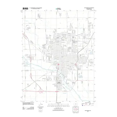
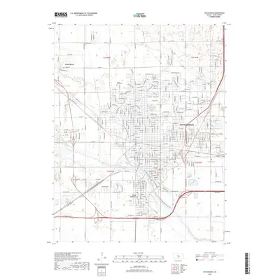
 2022 Hutchinson2022 Print · USGSHutchinson and the surrounding Reno County plains are shown in high detail during the early twenty-first century. Genealogists can trace family plots at Fairlawn Cem and Mitchell Cem, or locate landmarks like the Reno County Courthouse.
End of results
Showing maps 1-17 of 17
Top cities near Hutchinson
- Wichita historical maps
- South Hutchinson historical maps
- Medora historical maps
- Inman historical maps
- Buhler historical maps
- Haven historical maps
See more
Top neighborhoods of Hutchinson
Frequently asked questions
- What are the different types of historical maps available for Hutchinson?
- What is the oldest map of Hutchinson?
- Where can I purchase historical maps of Hutchinson for my home or office?
- Where can I download high-res historical maps of Hutchinson?
- Are there historical topographic maps available for Hutchinson?
- Is there historical aerial imagery available for Hutchinson?
- Where are historical maps of Hutchinson sourced from?