
1893 Map of Hutchinson
USGS Topo · Published 1893About this map
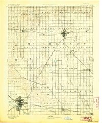
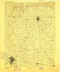
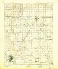
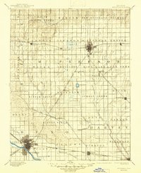
The Arkansas River and its tributary, the Little Arkansas River, define the hydraulic landscape of this central Kansas region during the late nineteenth century. In this era of rapid agricultural and transit expansion, the city of Hutchinson emerges as a significant rail hub, while Mc Pherson anchors the northern portion of the survey. The prairie is crisscrossed by an extensive network of iron rails, including the Atchison Topeka and Santa Fe Railroad and the Chicago Kansas and Nebraska Railway, which facilitated the growth of shipping points like Mound Ridge and Burrton. This detailed topography captures the transition from open range to a structured grid of townships, preserving the names of local districts such as New Gottland, Superior, and Little River. Rare natural landmarks in this flat terrain include Lake Inman and Lake Farland, providing essential water sources for the burgeoning farming communities.
Find a feature on this map
73 named features on this map. Tap any name to fly to it.
Don’t see what you’re looking for? This feature index may not catch every label — zoom into the map to look around manually.
Map Details
Editions of this 1893 Hutchinson Map
5 editions found
Other maps of this area

1889 · Newton
USGS Topo · 1:125,000

1889 · Abilene
USGS Topo · 1:125,000

1889 · Cheney
USGS Topo · 1:125,000

1889 · Wichita
USGS Topo · 1:125,000

1891 · Hutchinson
USGS Topo · 1:125,000

1891 · Cheney
USGS Topo · 1:125,000

1892 · Salina
USGS Topo · 1:125,000

1892 · Kingman
USGS Topo · 1:125,000

1894 · Ellsworth
USGS Topo · 1:125,000

1894 · Wichita
USGS Topo · 1:125,000