2020s Maps of Washington County, Kansas
Explore 25 historic maps of Washington County from the 2020s. These maps offer a rare glimpse into what life looked like during the 2020s — showing old roads, neighborhoods, homes, and landmarks that have changed or disappeared over time.
Whether you're researching your family's past, planning a metal detecting trip, or studying how Washington County's landscape evolved across the 2020s, these high-resolution maps are a powerful tool for exploring the history of this region.
- Focus on a specific era: All maps on this page are from the 2020s, giving you a focused view of this time period.
- See what’s changed: Compare century-old streets, trails, and buildings to today's modern landscape using overlays and satellite layers.
- Research with precision: Use these maps for genealogy, historical research, land use analysis, or educational projects.
- View, download, or print: Maps are fully viewable online in high resolution, and can be downloaded or printed for your own records.
Start exploring Washington County's history through authentic maps from the 2020s. This is your window into the past.
Washington County, KS maps
(25)- 2021 Map of Diller, 2021 Print
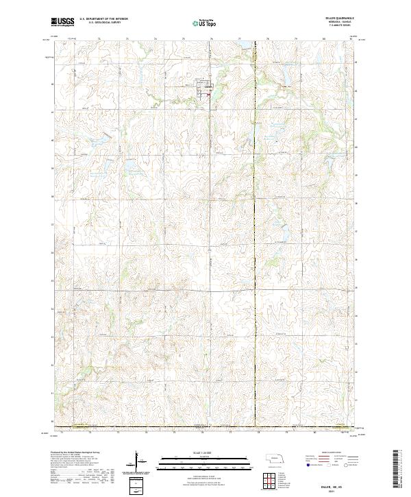 2021 Diller2021 Print · USGSDiller and the surrounding prairie of the Nebraska-Kansas border are shown in detail as they appeared in the early 2020s. Researchers can trace the water management systems of Big Indian Cr and locate specific sites like Callan Reservoir and Clapp Reservoir.
 - 2021 Map of Reynolds, 2021 Print
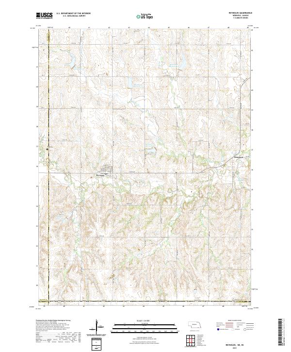 2021 Reynolds2021 Print · USGSModern-day Jefferson County and the Nebraska-Kansas border are shown here just south of Reynolds. Genealogists can trace family plots at Rose Creek Cem or explore the street grid of Reynolds and the small settlement at Thompson.
 - 2021 Map of Endicott, 2021 Print
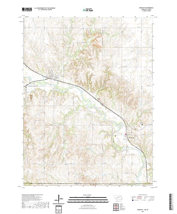 2021 Endicott2021 Print · USGSSouthern Nebraska's river valley comes to life in this modern survey of the borderlands between Jefferson and Washington counties. Researchers can trace the winding Little Blue River through Steele City and Endicott while locating the Steele City Cem and the rugged Steele City Canyon.
 - 2021 Map of Fairbury SW, 2021 Print
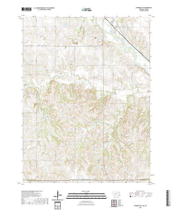 2021 Fairbury SW2021 Print · USGSThe Nebraska-Kansas border region is captured in the early twenty-first century, showing the rural landscape along the Little Blue River. Genealogists and local historians can locate the Silver Creek Cem and trace the paths of Rose Cr and Silver Cr.
 - 2021 Map of Odell, 2021 Print
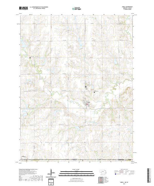 2021 Odell2021 Print · USGSSouthern Nebraska farmland meets the Kansas border in this recent survey of the area around Odell. Genealogists can trace several local burying grounds including Czech National Cemetery, Reserve Cem, and the cluster of sites near Lanham.
 - 2022 Map of Greenleaf, 2022 Print
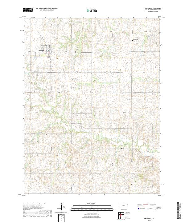 2022 Greenleaf2022 Print · USGSThe town of Greenleaf and the settlement of Barnes are captured here in the early twenty-first century. Genealogists can trace family roots at Maplewood Cem, Chepstow Cem, and Round Grove Cem among the creeks of Washington County.
 - 2022 Map of Kimeo, 2022 Print
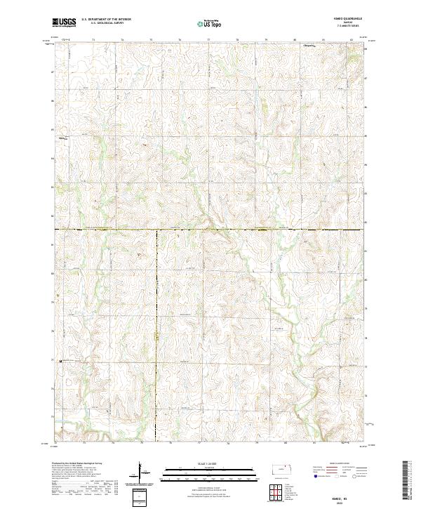 2022 Kimeo2022 Print · USGSThe rural intersection of Washington, Clay, and Riley counties comes into focus in this late-period survey of north-central Kansas. Researchers can trace historical footprints through Appleton Cem and the small settlements of Kimeo and Chepstow along the plains.
 - 2022 Map of Greenleaf SE, 2022 Print
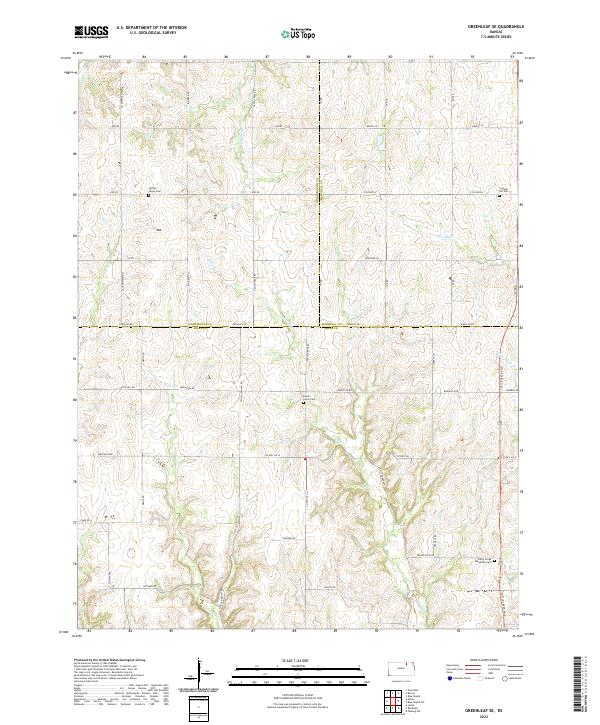 2022 Greenleaf SE2022 Print · USGSThe intersection of Riley, Washington, and Marshall Counties reveals a landscape of upland prairie and family-named landmarks. Genealogists can locate rural burial sites such as Peach Grove Cem and Spring Valley Cem among the headwaters of Sulphur Cr.
 - 2022 Map of Hanover West, 2022 Print
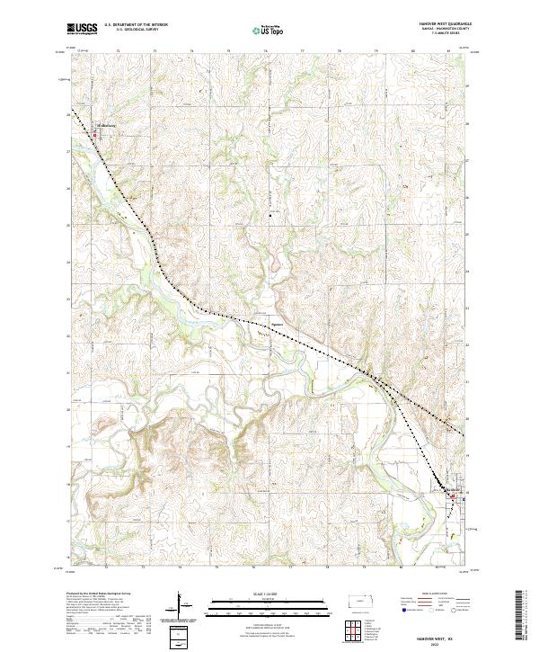 2022 Hanover West2022 Print · USGSThe Little Blue River valley in Washington County appears here in its modern agricultural context. Researchers can trace land ties near Hollenberg, locate the Prall Cem, and follow historic routes like Wagon Train Rd and Bonds Mill Ave.
 - 2022 Map of Hanover SW, 2022 Print
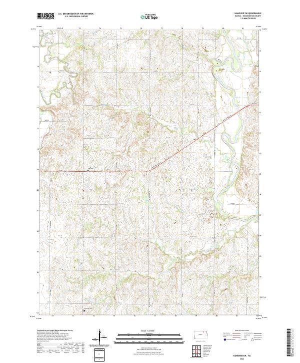 2022 Hanover SW2022 Print · USGSWashington County farmland is captured here in the early twenty-first century, showing a landscape defined by the Little Blue River. Genealogists can locate family sites near Saint Paul Cem and Greenleaf Cem or trace the path of Pony Express Ave.
 - 2022 Map of Hanover SE, 2022 Print
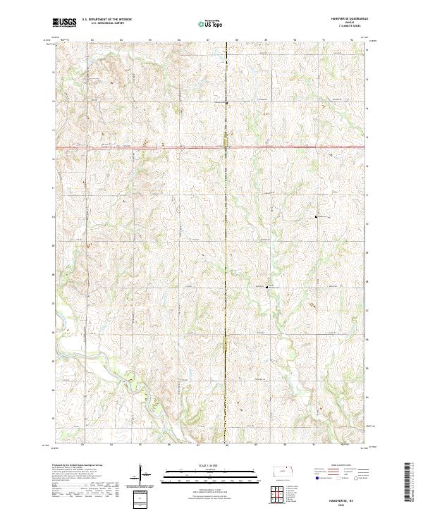 2022 Hanover SE2022 Print · USGSNorth-central Kansas farmland is captured here in the early twenty-first century, spanning the border between Washington and Marshall counties. Family historians can locate rural burial sites like Pecenka Cem and Trinity Lutheran Cem along the winding Little Blue River.
 - 2022 Map of Haddam, 2022 Print
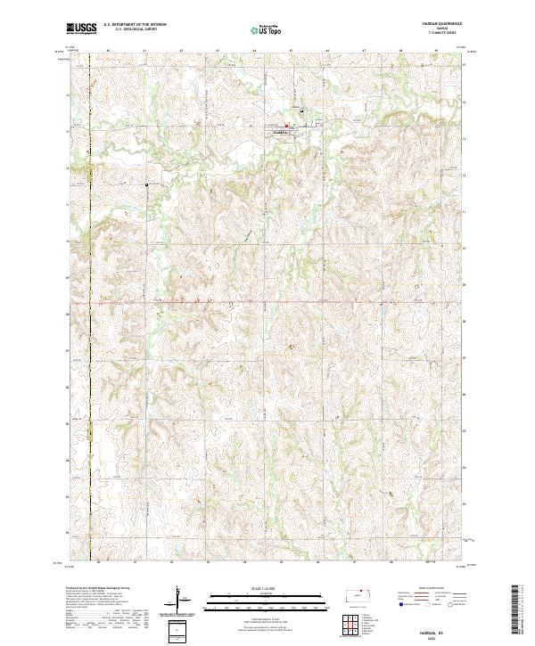 2022 Haddam2022 Print · USGSThe northern Kansas prairie around the Washington and Republic county line is shown here in its modern agricultural layout. Genealogists can locate family landmarks like Haddam Cem and Oliver Cem, while tracking the winding paths of Mill Cr and Mulberry Cr.
 - 2022 Map of Palmer, 2022 Print
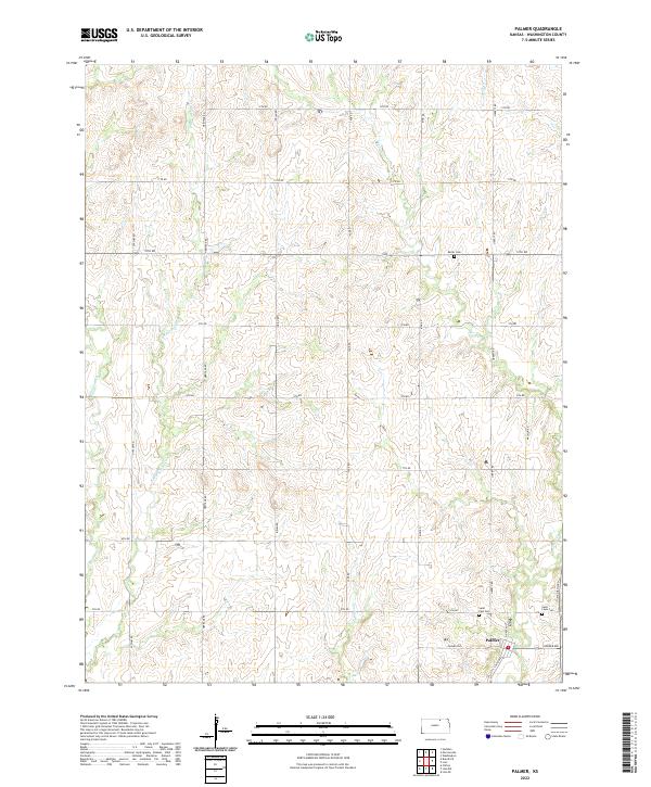 2022 Palmer2022 Print · USGSThe community of Palmer and its surrounding grain-growing plains are captured here in the early twenty-first century. Genealogists can locate family sites near Saint Paul Cem, Saint Louis Cem, and the waters of Peats Cr.
 - 2022 Map of Linn SE, 2022 Print
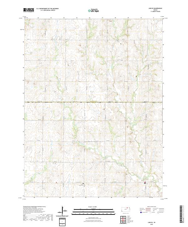 2022 Linn SE2022 Print · USGSThe rural border of Clay and Washington counties is documented here as it appeared recently, showing a landscape defined by farming and prairie creeks. Genealogists can locate family burial sites at Central Cem and Center Mission Cem along the quiet reaches of W Fancy Cr.
 - 2022 Map of Morrowville, 2022 Print
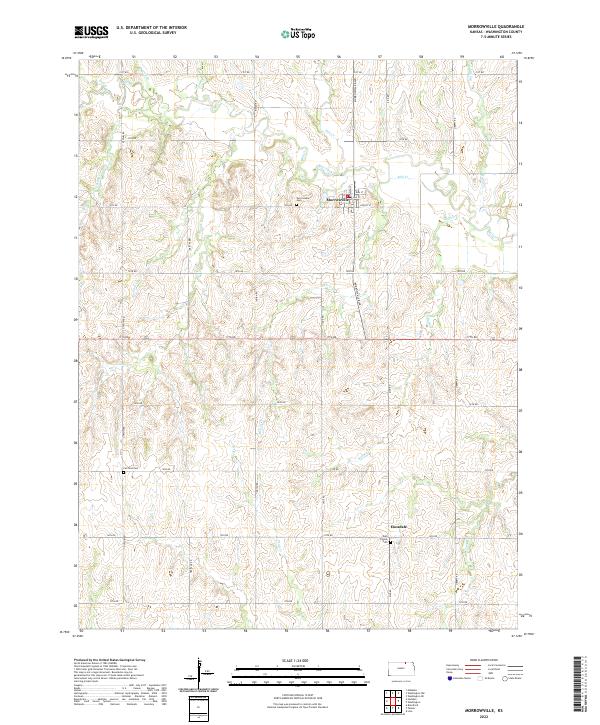 2022 Morrowville2022 Print · USGSIn the modern agricultural heart of Washington County, this landscape centers on the community of Morrowville and its surrounding creek valleys. Genealogists can trace family sites across the prairie, from the Fairfield Cem to the local Morrowville Cem and Dale Friends Cem.
 - 2022 Map of Brantford, 2022 Print
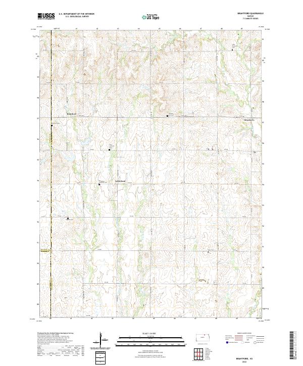 2022 Brantford2022 Print · USGSNorth-central Kansas farmland at the Washington County border is detailed here in the early twenty-first century. Genealogists can trace rural family roots through numerous sites like Saint Bernards Cem, Rusco Cem, and the village of Brantford.
 - 2022 Map of Linn SW, 2022 Print
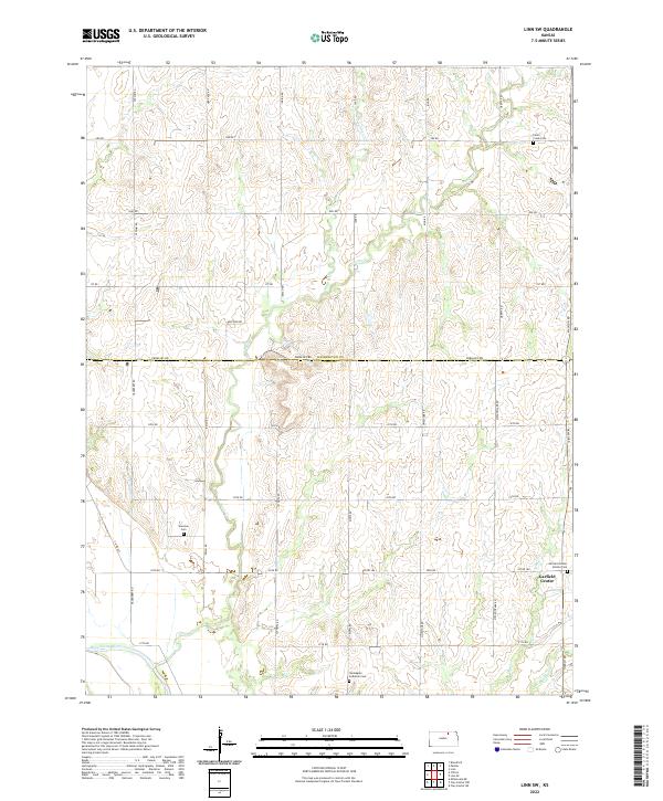 2022 Linn SW2022 Print · USGSClay and Washington Counties are depicted in the early twenty-first century, showing a landscape defined by traditional farming and prairie stream networks. Researchers can locate local landmarks like Garfield Center, Sherman Cem, and the banks of the Republican River.
 - 2022 Map of Washington NW, 2022 Print
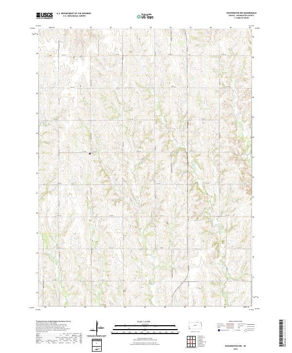 2022 Washington NW2022 Print · USGSWashington County at the start of the 2020s remains a landscape of sprawling agriculture and quiet stream valleys. Genealogists can locate Greenfield Cem while tracing the winding paths of Salt Cr and Devils Cr through the section-line road grid.
 - 2022 Map of Mahaska, 2022 Print
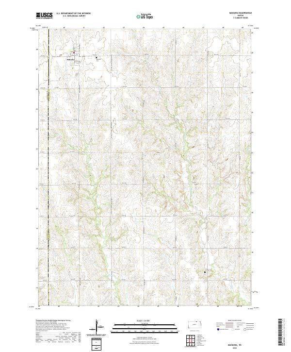 2022 Mahaska2022 Print · USGSThe northern Kansas borderlands near the settlement of Mahaska are captured here in a detailed survey of rural Washington County. Researchers can locate family plots at Mahaska Cem and Larabee Cem or trace the winding course of Bowman Cr.
 - 2022 Map of Washington NE, 2022 Print
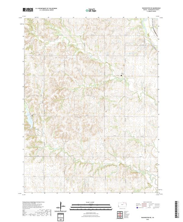 2022 Washington NE2022 Print · USGSThe rural agricultural landscapes of Washington County are seen here in the early twenty-first century, showing the persistent grid of section-line roads and family cemeteries. Genealogists can trace local roots at Silver Cliff Cem and Gaskill Cem near the banks of Devils Creek.
 - 2022 Map of Washington, 2022 Print
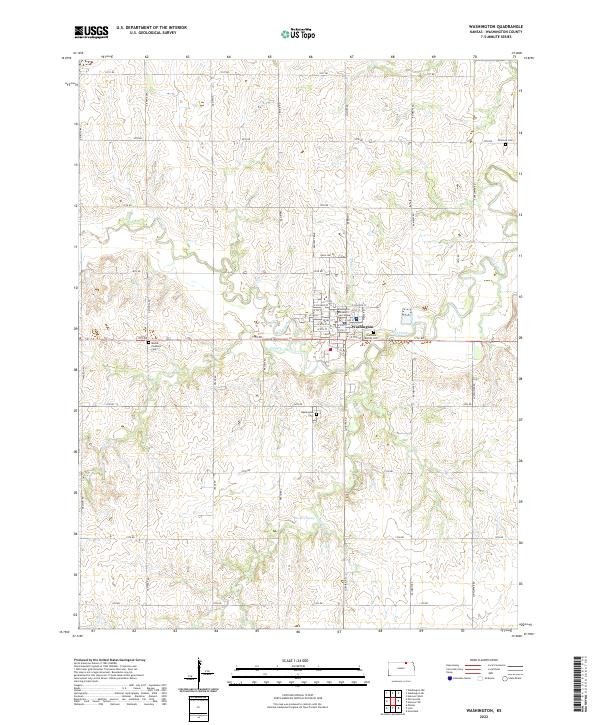 2022 Washington2022 Print · USGSThe county seat of Washington, Kansas, is shown here in the early 2020s amidst its network of prairie creeks and section roads. Researchers can locate the County Court House and several family burial sites like Mount Pleasant Cem and Brethern Merkey Cem.
 - 2022 Map of Linn, 2022 Print
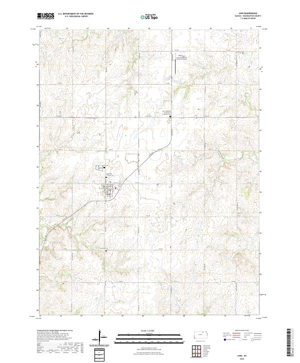 2022 Linn2022 Print · USGSThe community of Linn and its surrounding townships are mapped here during the early twenty-first century, showcasing a landscape of steady agricultural use. Genealogists can locate several local burial sites including Saint Pauls Lutheran Cem and Zion Cem, or trace the paths of Ash Cr and Carter Cr.
 - 2022 Map of Clifton, 2022 Print
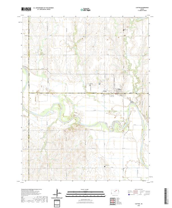 2022 Clifton2022 Print · USGSThe Republican River valley in the early 2020s shows the enduring agricultural grid of North Central Kansas. Trace family history and local boundaries through Clifton, Vining, and rural sites like Saint Marys Cem and Riverdale Cem.
 - 2022 Map of Hanover East, 2022 Print
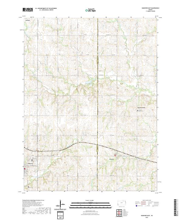 2022 Hanover East2022 Print · USGSThe rural agricultural landscape along the Washington and Marshall County line is captured here in the early twenty-first century. Researchers can trace family history at sites like Immanuel Lutheran Cem or explore the settlements of Bremen and Hanover.
 - 2022 Map of Barnes, 2022 Print
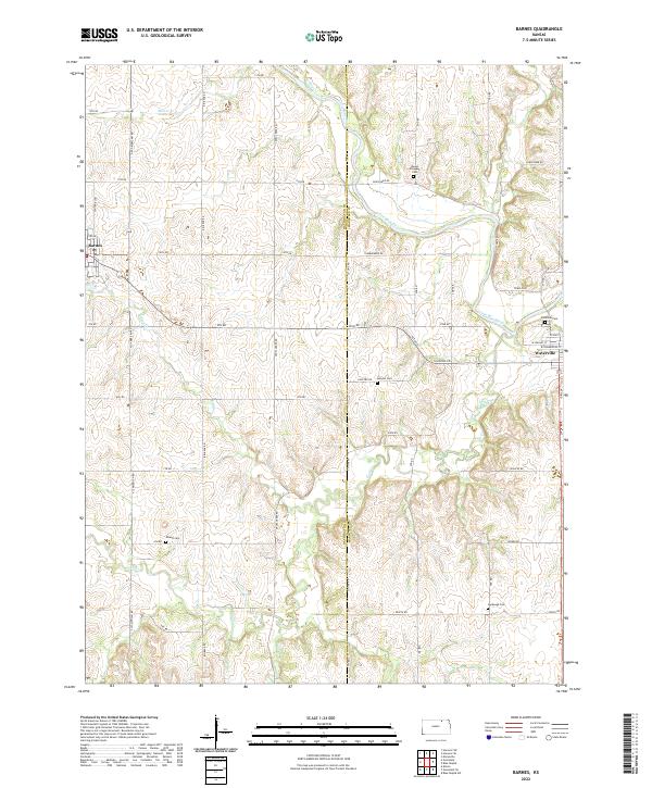 2022 Barnes2022 Print · USGSThe river valley and prairie hills of the Washington-Marshall county line are captured here in the early twenty-first century. Researchers can trace rural lineages through the locations of Mount Pleasant Cem, Harbaugh Cem, and Kenyon Cem.
End of results
Showing maps 1-25 of 25
Top cities of Washington County
- Washington historical maps
- Hanover historical maps
- Linn historical maps
- Greenleaf historical maps
- Haddam historical maps
- Morrowville historical maps
See more
Frequently asked questions
- What are the different types of historical maps available for Washington County?
- What is the oldest map of Washington County?
- Where can I purchase historical maps of Washington County for my home or office?
- Where can I download high-res historical maps of Washington County?
- Are there historical topographic maps available for Washington County?
- Is there historical aerial imagery available for Washington County?
- Where are historical maps of Washington County sourced from?