2000s (21st Century) Maps of Washington County, Kansas
Explore 120 historic maps of Washington County from the 2000s (21st Century). These maps offer a rare glimpse into what life looked like during the 2000s — showing old roads, neighborhoods, homes, and landmarks that have changed or disappeared over time.
Whether you're researching your family's past, planning a metal detecting trip, or studying how Washington County's landscape evolved across the 2000s, these high-resolution maps are a powerful tool for exploring the history of this region.
- Focus on a specific era: All maps on this page are from the 2000s, giving you a focused view of this time period.
- See what’s changed: Compare century-old streets, trails, and buildings to today's modern landscape using overlays and satellite layers.
- Research with precision: Use these maps for genealogy, historical research, land use analysis, or educational projects.
- View, download, or print: Maps are fully viewable online in high resolution, and can be downloaded or printed for your own records.
Start exploring Washington County's history through authentic maps from the 2000s. This is your window into the past.
Washington County, KS maps
(120)- 2009 Map of Haddam, 2009 Print
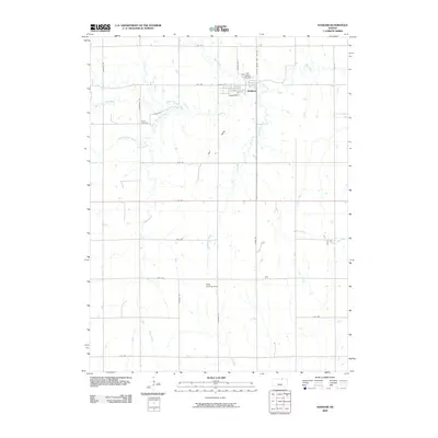 2009 Haddam2009 Print · USGSHaddam and the surrounding Washington County farmstead region are detailed in the early 2000s, showing the intersection of rural life and natural prairie drainage. Researchers can locate family sites near Haddam Cemetery, Oliver Cemetery, or the Adee Landing Strip.
 - 2009 Map of Morrowville, 2009 Print
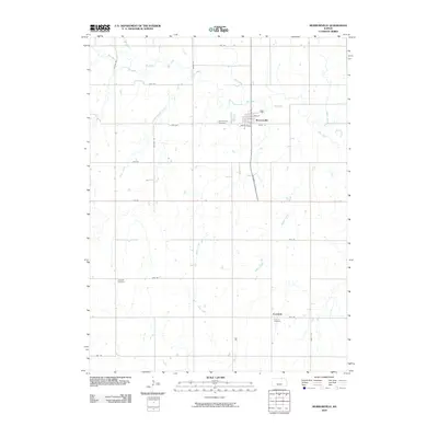 2009 Morrowville2009 Print · USGSMorrowville and the surrounding Washington County countryside are documented here in the early twenty-first century, showing a landscape defined by prairie streams and section-line roads. Researchers can locate the Morrowville Cemetery, the quiet settlement of Enosdale, and the Friends Cemetery.
 - 2009 Map of Kimeo, 2009 Print
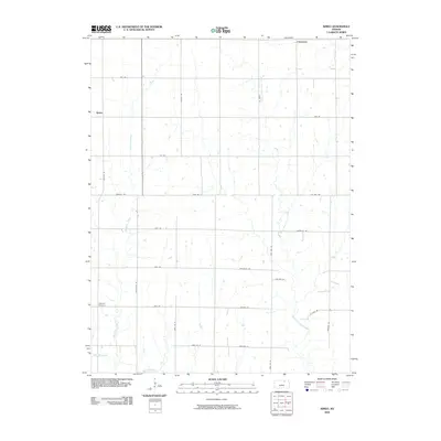 2009 Kimeo2009 Print · USGSWashington County at the turn of the millennium remains a landscape of traditional farming tracts and quiet rural settlements. Researchers can locate family landmarks like Appleton Cemetery and trace the drainage of Deadman Creek and West Fancy Creek.
 - 2009 Map of Greenleaf, 2009 Print
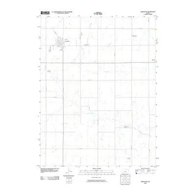 2009 Greenleaf2009 Print · USGSThe northern Kansas prairie around Greenleaf is documented here during the early twenty-first century. Genealogists and local historians can trace family locations through five different burial grounds, including Sprading Cemetery and Saint Boniface Cemetery.
 - 2009 Map of Clifton, 2009 Print
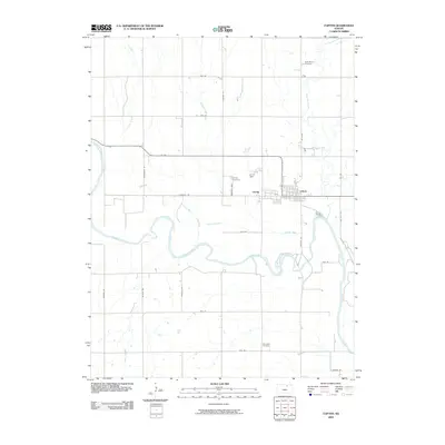 2009 Clifton2009 Print · USGSClifton and Vining stand along the winding Republican River in this 2009 survey of northern Kansas. Genealogists and local historians can trace the town grid alongside landmarks like Saint Marys Cemetery, Vining Cemetery, and the banks of Parsons Creek.
 - 2009 Map of Hanover East, 2009 Print
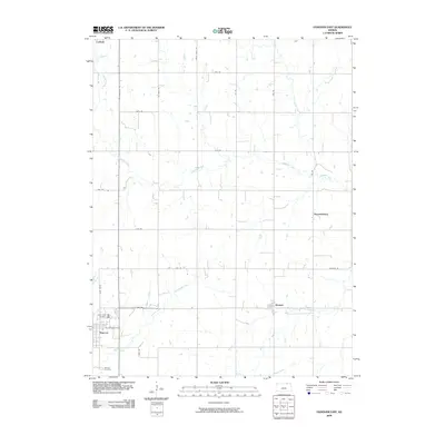 2009 Hanover East2009 Print · USGSThe rural landscape of Washington County comes into focus in this modern era survey of the Kansas-Nebraska borderlands. Genealogists can locate family sites near Saint Johns Cemetery or trace the small settlements of Bremen and Lanham.
 - 2009 Map of Greenleaf SE, 2009 Print
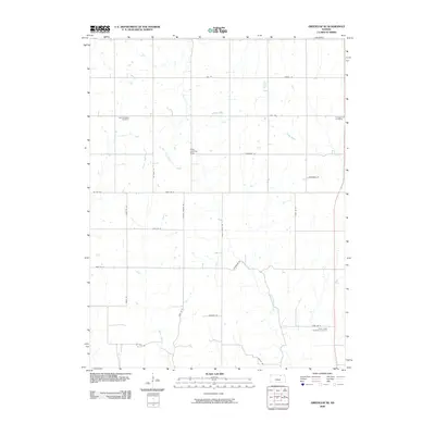 2009 Greenleaf SE2009 Print · USGSRiley County at the dawn of the 21st century reveals a landscape shaped by rural heritage and small-scale aviation. Genealogists can locate Spring Valley Cemetery and Cottage Hill Cemetery or trace family-named routes like Droll Rd and Dettmer Rd.
 - 2009 Map of Linn, 2009 Print
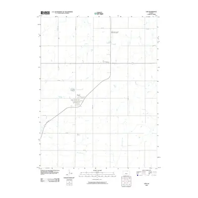 2009 Linn2009 Print · USGSLinn and its surrounding agricultural landscape are captured in the early 2000s, showing a transition between town and prairie. Researchers can trace family sites near Saint Paul Cemetery, the Washington County Memorial Airport, or along Peats Creek.
 - 2009 Map of Linn SW, 2009 Print
 2009 Linn SW2009 Print · USGSGarfield Center and the surrounding Clay County farmsteads are documented here as they appeared in the early 2000s. Genealogists can locate family burial sites at Peats Creek Cemetery and Sherman Cemetery while tracing the rural road network along Peats Creek.
 - 2009 Map of Palmer, 2009 Print
 2009 Palmer2009 Print · USGSThe agricultural landscape of Washington County comes into focus in this early 21st-century survey of the Kansas prairie. Genealogists and local historians can trace the town of Palmer and find family-named landmarks such as Reiter Cemetery and Saint Paul Cemetery.
 - 2009 Map of Brantford, 2009 Print
 2009 Brantford2009 Print · USGSWashington County at the close of the first decade of the 21st century reveals a landscape of enduring rural communities and family legacies. Genealogists can trace deep roots through numerous burial grounds including Baptist Cemetery and Rusco Cemetery near the banks of Scribner Creek.
 - 2009 Map of Linn SE, 2009 Print
 2009 Linn SE2009 Print · USGSWashington County at the end of the decade shows a strictly ordered grid of rural roads and quiet creek valleys. Genealogists can locate Center Mission Cemetery and Central Cemetery, or trace the winding course of Fact along Carter Creek.
 - 2009 Map of Washington NW, 2009 Print
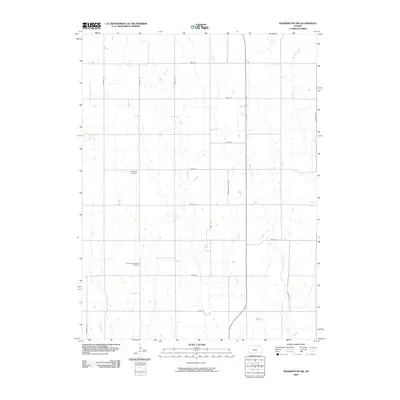 2009 Washington NW2009 Print · USGSNorthwestern Washington County at the end of the first decade of the millennium shows an enduring agricultural landscape structured by a precise road grid. Genealogists and local historians can locate rural landmarks like Bohemian National Cemetery and follow the paths of Salt Creek and Jones Creek.
 - 2009 Map of Hanover SE, 2009 Print
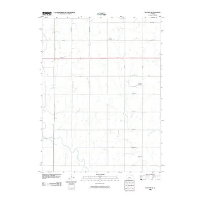 2009 Hanover SE2009 Print · USGSMarshall County in the early 2000s remains a landscape of section-line roads and prairie drainages shaped by the legacy of the western frontier. Genealogists and local historians can locate Pecenka Cemetery, Evergreen Cemetery, and the historic path of the Pony Express Hwy.
 - 2009 Map of Mahaska, 2009 Print
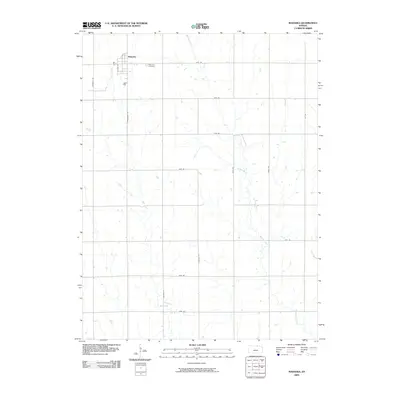 2009 Mahaska2009 Print · USGSMahaska sits at the Kansas-Nebraska border in the early twenty-first century, surrounded by a classic Midwestern grid of rural section roads. Researchers can trace local heritage at Mahaska Cemetery or follow the meandering paths of Myer Creek and Bouman Creek.
 - 2009 Map of Washington NE, 2009 Print
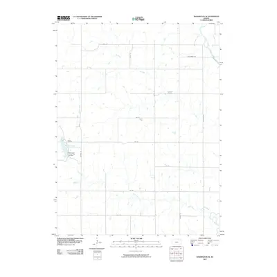 2009 Washington NE2009 Print · USGSWashington County at the start of the twenty-first century remains a landscape of quiet prairie streams and high-plains farming. Genealogists can locate family resting places at Silver Cliff Cemetery and Gasket Cemetery near the shores of Washington County State Lake.
 - 2009 Map of Hanover West, 2009 Print
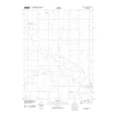 2009 Hanover West2009 Print · USGSWashington County at the close of the decade shows a landscape shaped by the Little Blue River and a legacy of pioneer transit. Genealogists and local historians can trace the rural grid between Hollenberg, Spence, and the Prall Cemetery.
 - 2009 Map of Barnes, 2009 Print
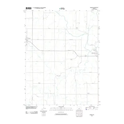 2009 Barnes2009 Print · USGSMarshall County agricultural life and river drainage are documented here during the early 2000s. Genealogists and local historians can trace family roots through numerous sites like Keefover Cemetery, Harbaugh Cemetery, and the riverside town of Waterville.
 - 2009 Map of Washington, 2009 Print
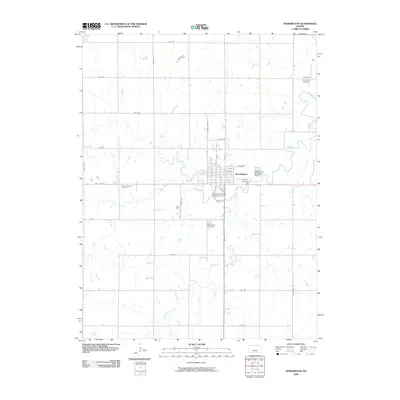 2009 Washington2009 Print · USGSThe rural landscape of Washington County, Kansas, is captured here in the early twenty-first century as a well-ordered agricultural community. Researchers can locate family heritage sites at Mount Pleasant Cemetery or Merkey Cemetery and trace the drainage of Mill Creek.
 - 2010 Map of Hanover SW, 2010 Print
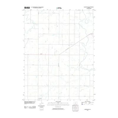 2010 Hanover SW2010 Print · USGSWashington County, Kansas, is shown at the start of the decade in this detailed survey of its rolling rural landscape. Genealogists and historians can locate Saint Paul Cemetery and trace historical routes like Pony Express Ave and Wagon Train Rd.
 - 2011 Map of Fairbury SW, 2011 Print
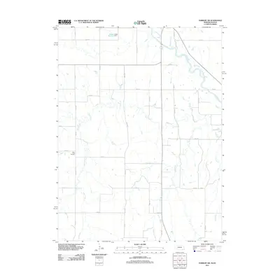 2011 Fairbury SW2011 Print · USGSJefferson County and the surrounding borderlands are captured here in the early twenty-first century, showcasing a rural landscape structured by its creek beds. Genealogists can locate Silver Creek Cemetery and trace local water features like Haake Reservoir and the Little Blue River.
 - 2011 Map of Reynolds, 2011 Print
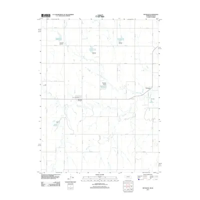 2011 Reynolds2011 Print · USGSThe village of Reynolds and the rural reaches of Jefferson County appear here in the early twenty-first century, showing a landscape shaped by hydrology and agriculture. Genealogists and local historians can locate the Rose Cemetery, the Reynolds Post Office, and the small settlement of Thompson.
 - 2011 Map of Endicott, 2011 Print
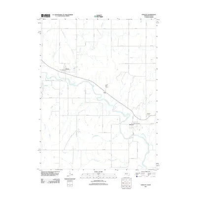 2011 Endicott2011 Print · USGSJefferson County at the start of the 2010s reveals a landscape shaped by the Little Blue River and its many tributaries. Genealogists and local historians can locate the Steele City Cemetery and trace the small communities around the Endicott Post Office and Rudy.
 - 2011 Map of Odell, 2011 Print
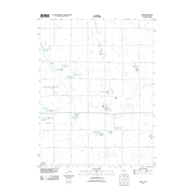 2011 Odell2011 Print · USGSSoutheastern Nebraska is captured in this early twenty-first-century survey as a region defined by managed waterways and border-straddling settlements. Genealogists can trace family footprints at the Czech National Cemetery, Saint Johns Cemetery, and the village of Lanham on the Kansas state line.
 - 2011 Map of Diller, 2011 Print
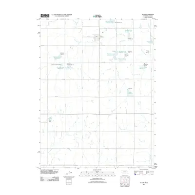 2011 Diller2011 Print · USGSIn the early twenty-first century, the area around Diller reveals a landscape meticulously shaped by water management and rural road networks near the Kansas border. Genealogists and local historians can locate the Diller Post Office and trace named water features like Callan Reservoir and Arrowhead Lake.
Showing maps 1-25 of 120
Top cities of Washington County
- Washington historical maps
- Hanover historical maps
- Linn historical maps
- Greenleaf historical maps
- Haddam historical maps
- Morrowville historical maps
See more
Frequently asked questions
- What are the different types of historical maps available for Washington County?
- What is the oldest map of Washington County?
- Where can I purchase historical maps of Washington County for my home or office?
- Where can I download high-res historical maps of Washington County?
- Are there historical topographic maps available for Washington County?
- Is there historical aerial imagery available for Washington County?
- Where are historical maps of Washington County sourced from?