2000s (21st Century) Maps of Breckinridge County, Kentucky
Explore 100 historic maps of Breckinridge County from the 2000s (21st Century). These maps offer a rare glimpse into what life looked like during the 2000s — showing old roads, neighborhoods, homes, and landmarks that have changed or disappeared over time.
Whether you're researching your family's past, planning a metal detecting trip, or studying how Breckinridge County's landscape evolved across the 2000s, these high-resolution maps are a powerful tool for exploring the history of this region.
- Focus on a specific era: All maps on this page are from the 2000s, giving you a focused view of this time period.
- See what’s changed: Compare century-old streets, trails, and buildings to today's modern landscape using overlays and satellite layers.
- Research with precision: Use these maps for genealogy, historical research, land use analysis, or educational projects.
- View, download, or print: Maps are fully viewable online in high resolution, and can be downloaded or printed for your own records.
Start exploring Breckinridge County's history through authentic maps from the 2000s. This is your window into the past.
Breckinridge County, KY maps
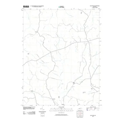
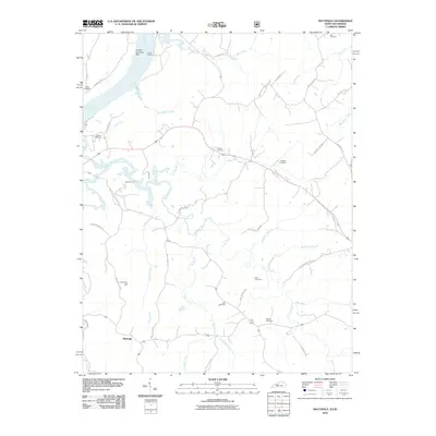
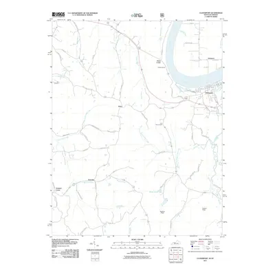
(100)- 2010 Map of Guston, 2010 Print
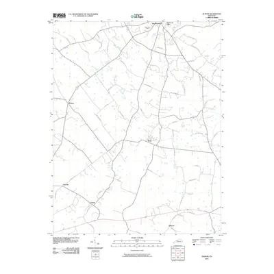 2010 Guston2010 Print · USGSCovers Breckinridge County, including Brandenburg, Ekron, and other nearby areas
 - 2010 Map of Big Spring, 2010 Print
 2010 Big Spring2010 Print · USGSCovers Breckinridge County, including Corners, Bewleyville, and other nearby areas
 - 2010 Map of Custer, 2010 Print
 2010 Custer2010 Print · USGSCovers Breckinridge County, including Fairfield, Locust Hill, and other nearby areas
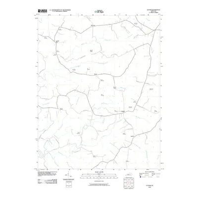
 - 2010 Map of Fordsville, 2010 Print
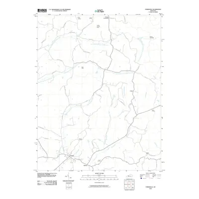 2010 Fordsville2010 Print · USGSCovers Breckinridge County, including Fordsville, Easton, and other nearby areas
 - 2010 Map of Glen Dean, 2010 Print
 2010 Glen Dean2010 Print · USGSCovers Breckinridge County, including Tar Fork, McQuady, and other nearby areas
 - 2010 Map of Constantine, 2010 Print
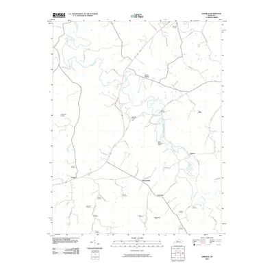
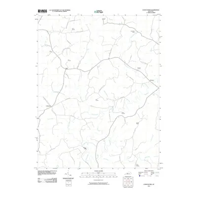 2010 Constantine2010 Print · USGSCovers Breckinridge County, including Constantine, Dyer, and other nearby areas
 - 2010 Map of McDaniels, 2010 Print
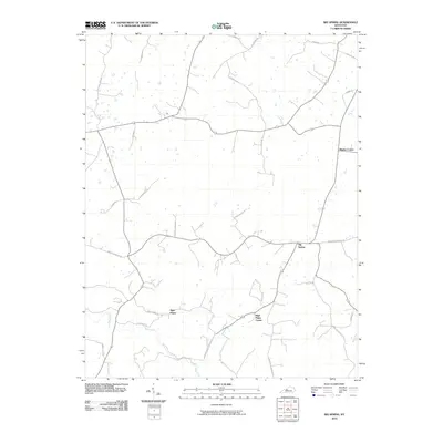
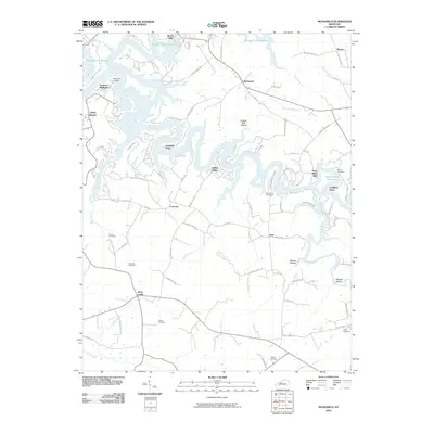 2010 McDaniels2010 Print · USGSCovers Breckinridge County, including Hinton Hills, McCoy, and other nearby areas
 - 2010 Map of Kingswood, 2010 Print
 2010 Kingswood2010 Print · USGSCovers Breckinridge County, including Cave Spring, Se Ree, and other nearby areas
 - 2010 Map of Lodiburg, 2010 Print
 2010 Lodiburg2010 Print · USGSCovers Breckinridge County, including Frymire, Lodiburg, and other nearby areas
 - 2010 Map of Falls of Rough, 2010 Print
 2010 Falls of Rough2010 Print · USGSCovers Breckinridge County, including Hickory Corner, Hites Falls, and other nearby areas
 - 2010 Map of Olaton, 2010 Print
 2010 Olaton2010 Print · USGSCovers Breckinridge County, including Olaton, Shreve, and other nearby areas
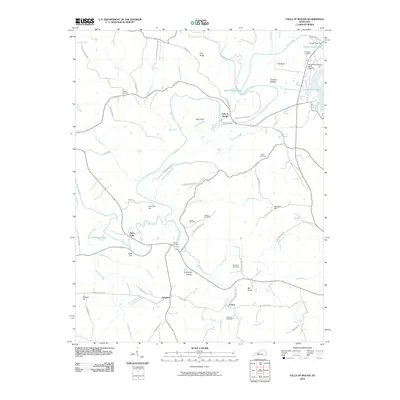
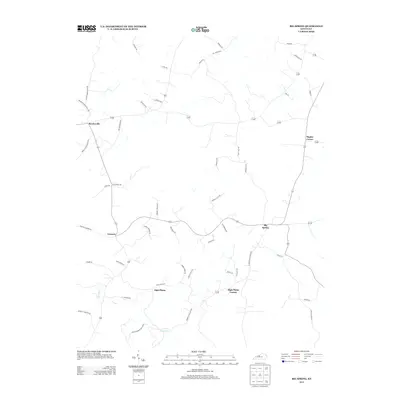
 - 2010 Map of Hardinsburg, 2010 Print
 2010 Hardinsburg2010 Print · USGSCovers Breckinridge County, including Hardinsburg, Clifton Mills, and other nearby areas
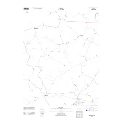
 - 2010 Map of Irvington, 2010 Print
 2010 Irvington2010 Print · USGSCovers Breckinridge County, including Irvington, Webster, and other nearby areas
 - 2010 Map of Madrid, 2010 Print
 2010 Madrid2010 Print · USGSCovers Breckinridge County, including Leitchfield, Hanging Rock, and other nearby areas
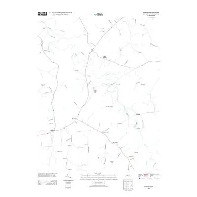
 - 2010 Map of Garfield, 2010 Print
 2010 Garfield2010 Print · USGSCovers Breckinridge County, including Irvington, Hensley, and other nearby areas
 - 2010 Map of Mattingly, 2010 Print
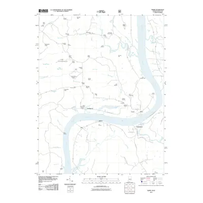
 2010 Mattingly2010 Print · USGSCovers Breckinridge County, including Cloverport, Mattingly, and other nearby areas
 - 2010 Map of Derby, 2010 Print
 2010 Derby2010 Print · USGSCovers Breckinridge County, including Leopold, Mount Pleasant, and other nearby areas
 - 2010 Map of Alton, 2010 Print
 2010 Alton2010 Print · USGSCovers Breckinridge County, including Alton, Mooleyville, and other nearby areas
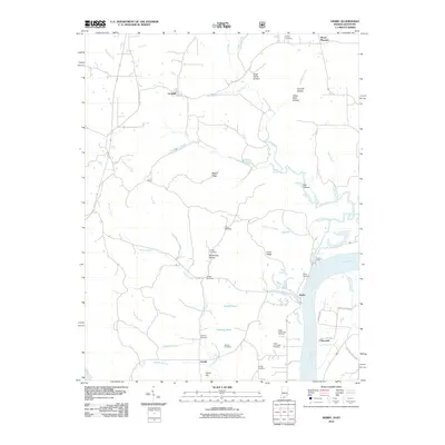
 - 2011 Map of Rome, 2011 Print
 2011 Rome2011 Print · USGSCovers Breckinridge County, including Hardingrove, Lauer, and other nearby areas
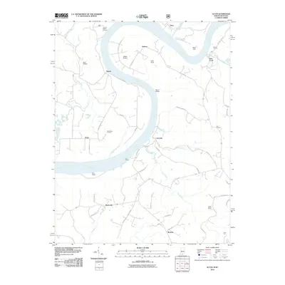
 - 2011 Map of Cloverport, 2011 Print
 2011 Cloverport2011 Print · USGSCovers Breckinridge County, including Cloverport, Dukes, and other nearby areas
 - 2013 Map of Big Spring, 2013 Print
 2013 Big Spring2013 Print · USGSCovers Breckinridge County, including Corners, Bewleyville, and other nearby areas
 - 2013 Map of Hardinsburg, 2013 Print
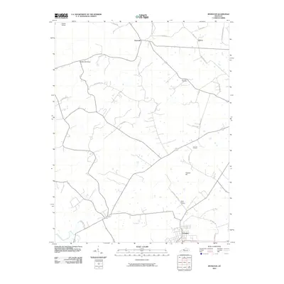
 2013 Hardinsburg2013 Print · USGSCovers Breckinridge County, including Hardinsburg, Clifton Mills, and other nearby areas
 - 2013 Map of Irvington, 2013 Print
 2013 Irvington2013 Print · USGSCovers Breckinridge County, including Irvington, Webster, and other nearby areas
 - 2013 Map of Garfield, 2013 Print
 2013 Garfield2013 Print · USGSCovers Breckinridge County, including Irvington, Hensley, and other nearby areas
 - 2013 Map of Kingswood, 2013 Print
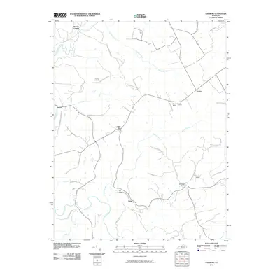
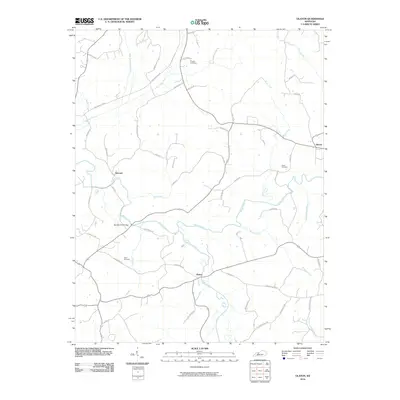
 2013 Kingswood2013 Print · USGSCovers Breckinridge County, including Cave Spring, Se Ree, and other nearby areas
Showing maps 1-25 of 100
Top cities of Breckinridge County
Frequently asked questions
- What are the different types of historical maps available for Breckinridge County?
- What is the oldest map of Breckinridge County?
- Where can I purchase historical maps of Breckinridge County for my home or office?
- Where can I download high-res historical maps of Breckinridge County?
- Are there historical topographic maps available for Breckinridge County?
- Is there historical aerial imagery available for Breckinridge County?
- Where are historical maps of Breckinridge County sourced from?