2010s Maps of Breckinridge County, Kentucky
Explore 80 historic maps of Breckinridge County from the 2010s. These maps offer a rare glimpse into what life looked like during the 2010s — showing old roads, neighborhoods, homes, and landmarks that have changed or disappeared over time.
Whether you're researching your family's past, planning a metal detecting trip, or studying how Breckinridge County's landscape evolved across the 2010s, these high-resolution maps are a powerful tool for exploring the history of this region.
- Focus on a specific era: All maps on this page are from the 2010s, giving you a focused view of this time period.
- See what’s changed: Compare century-old streets, trails, and buildings to today's modern landscape using overlays and satellite layers.
- Research with precision: Use these maps for genealogy, historical research, land use analysis, or educational projects.
- View, download, or print: Maps are fully viewable online in high resolution, and can be downloaded or printed for your own records.
Start exploring Breckinridge County's history through authentic maps from the 2010s. This is your window into the past.
Breckinridge County, KY maps
(80)- 2010 Map of Guston, 2010 Print
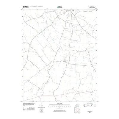 2010 Guston2010 Print · USGSMeade County settlement and family lands are well-documented here during the first decade of the millennium. Genealogists can trace family-named landmarks and historical sites like Cap Anderson Cemetery, Ekron, and the waters of Doe Run.
 - 2010 Map of Big Spring, 2010 Print
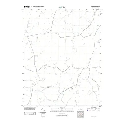 2010 Big Spring2010 Print · USGSKentucky's rural uplands are captured here in the early twenty-first century, showing a landscape defined by ancestral family roads and small clusters like Big Spring. Researchers can trace local heritage through routes like Bennett Cem Rd and settlements such as High Plains.
 - 2010 Map of Custer, 2010 Print
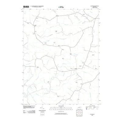 2010 Custer2010 Print · USGSBreckinridge County settlements and family farmsteads are documented here in the early twenty-first century. Researchers can trace ancestral locations through numerous burial sites like Goodhope Cemetery and rural centers such as Locust Hill and Hudson.
 - 2010 Map of Fordsville, 2010 Print
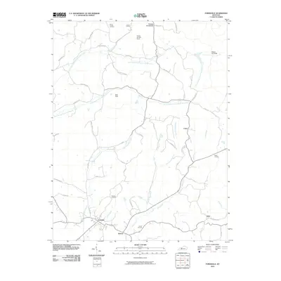 2010 Fordsville2010 Print · USGSOhio County enters the twenty-first century as a landscape of rural crossroads and historic family burial grounds. Researchers can trace ancestral locations at Wedding Cemetery and Haynes Cemetery or explore the settlements of Fordsville and Victoria Crossroads.
 - 2010 Map of Glen Dean, 2010 Print
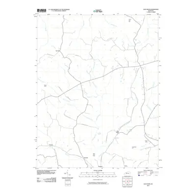 2010 Glen Dean2010 Print · USGSBreckinridge County's rural heartland is mapped here in the early twenty-first century, showcasing a landscape of winding creek valleys and high knobs. Local historians can trace old transit corridors along Old Railroad Rd and locate family landmarks like Owens Cemetery and Egypt Knob.
 - 2010 Map of Constantine, 2010 Print
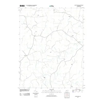 2010 Constantine2010 Print · USGSThe rural stretches of Breckinridge County are captured here just after the first decade of the new millennium. Genealogists and local historians can locate many family landmarks, such as Pierce Mill, Losenville Valley, and the Smith Chapel Cemetery.
 - 2010 Map of McDaniels, 2010 Print
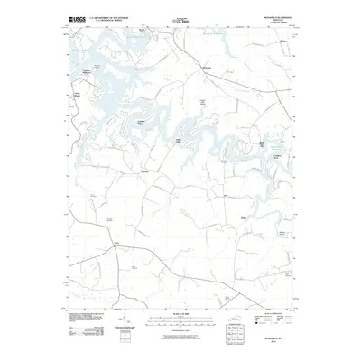 2010 McDaniels2010 Print · USGSBreckinridge County is seen here in the early twenty-first century, where the intricate shoreline of the Rough River Reservoir meets long-standing rural communities. Genealogists can trace family heritage at numerous sites like the Lahue Cemetery, Thomason Cemetery, and Deweese Cemetery.
 - 2010 Map of Kingswood, 2010 Print
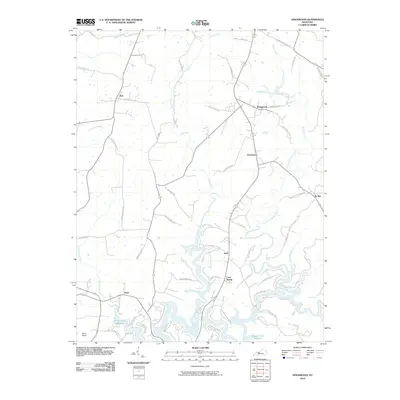 2010 Kingswood2010 Print · USGSBreckinridge County is shown here in the early twenty-first century, centered on the expansive reaches of the Rough River Reservoir. Researchers can trace old family footprints along Sand Knob Cemetery Rd and through settlements like Cave Spring, Kirk, and Westview.
 - 2010 Map of Lodiburg, 2010 Print
 2010 Lodiburg2010 Print · USGSBreckinridge County remains a landscape of traditional rural hamlets and family-named landmarks in the early twenty-first century. Researchers can trace local genealogy and land use through sites like Shelman Cemetery, Union Star, and the winding Sinking Creek.
 - 2010 Map of Falls of Rough, 2010 Print
 2010 Falls of Rough2010 Print · USGSGrayson County at the start of the decade shows a landscape shaped by the Rough River and its modern reservoir. Family historians can locate numerous rural burial sites like Smith Cemetery and trace the paths of Yeaman and Tousey along the local ridges.
 - 2010 Map of Olaton, 2010 Print
 2010 Olaton2010 Print · USGSIn the hills of Ohio County during the early twenty-first century, the river and road networks reveal a deeply rooted rural landscape. Researchers can trace family sites like Axton Cemetery and the historic crossing at Barretts Ford Bridge.
 - 2010 Map of Hardinsburg, 2010 Print
 2010 Hardinsburg2010 Print · USGSBreckinridge County at the start of the 2010s shows a landscape defined by its rural settlements and local creek systems. Genealogists can trace family landmarks along Haynes Cemetery Rd and Basham-Allen Ln near Hardinsburg and Clifton Mills.
 - 2010 Map of Irvington, 2010 Print
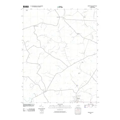 2010 Irvington2010 Print · USGSBreckinridge County is shown at the turn of the decade, centered on the local hub of Irvington and its rural outskirts. Researchers can trace family history through several burial sites like Mount Merino Cemetery or navigate the terrain of Prather Hollow and Hogback Hill.
 - 2010 Map of Madrid, 2010 Print
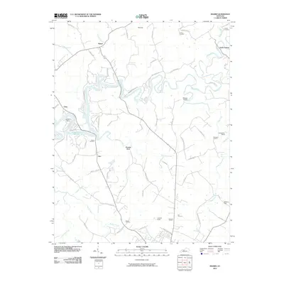 2010 Madrid2010 Print · USGSGrayson County's river valleys and rural crossroads are captured here in the early twenty-first century as the landscape centers on the Rough River Reservoir. Genealogists can locate family landmarks like Watson Cemetery and Royalty Cemetery or the historic settlement at Madrid.
 - 2010 Map of Garfield, 2010 Print
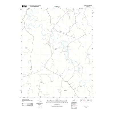 2010 Garfield2010 Print · USGSBreckinridge County is shown here at the start of the 2010s, centered on the rural communities of Garfield and Stinnettsville. Researchers can locate numerous family burial grounds like Horseley Cemetery and Turpin Cemetery along the winding banks of Sinking Creek.
 - 2010 Map of Mattingly, 2010 Print
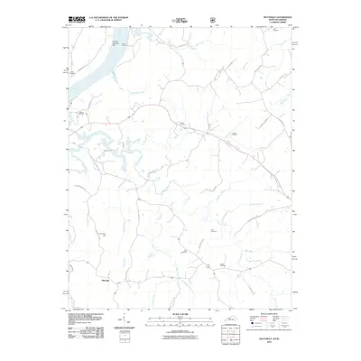 2010 Mattingly2010 Print · USGSBreckinridge County, Kentucky, maintains its deep rural roots in the early twenty-first century as life centers on the Ohio River and interior creek valleys. Genealogists can trace family names through numerous local burial grounds like Chapin Cemetery and Taul Cemetery, or locate old landmarks like Iron Ore Hill.
 - 2010 Map of Derby, 2010 Print
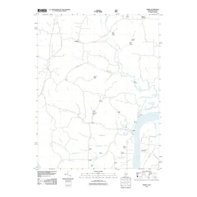 2010 Derby2010 Print · USGSThe rural uplands and riverbanks of Perry County are documented here in the early twenty-first century. Researchers can locate numerous family burial sites such as Horton Cemetery and Badger Cemetery or trace the drainage of Oil Creek to the Ohio River.
 - 2010 Map of Alton, 2010 Print
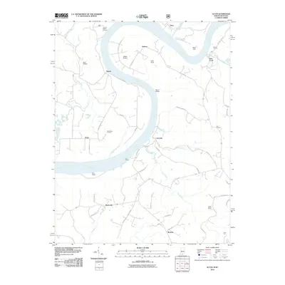 2010 Alton2010 Print · USGSThe Ohio River dominates the border between Indiana and Kentucky in the early 2000s, carving deep bends past small river towns. Researchers can trace family sites at Stephenson Cemetery and Barr Cemetery or locate old landings like Peters Landing.
 - 2011 Map of Rome, 2011 Print
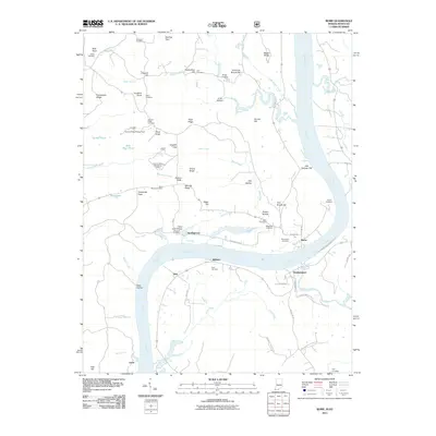 2011 Rome2011 Print · USGSThe Ohio River meanders through the border of Indiana and Kentucky in the early 21st century, framing the river towns of Rome and Stephensport. Researchers can trace ancestral roots through numerous family burial sites like Brashear Cemetery and Shoemaker Cemetery.
 - 2011 Map of Cloverport, 2011 Print
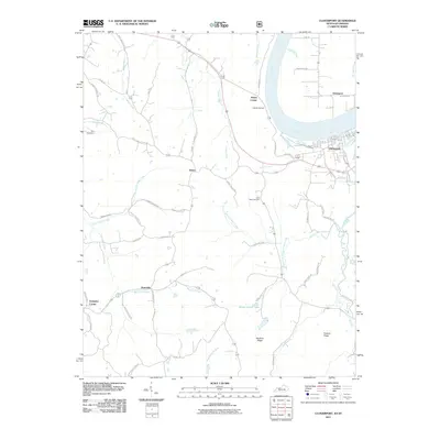 2011 Cloverport2011 Print · USGSThe Ohio River valley at Cloverport and Tobinsport is captured here in the early twenty-first century. Genealogists can trace family connections through the Rice Cemetery, Saint Rose Cemetery, and rural crossroads like Arrington Corner and Patesville.
 - 2013 Map of Big Spring, 2013 Print
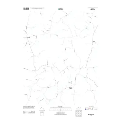 2013 Big Spring2013 Print · USGSBreckinridge County is seen here in the early 2010s, showing a traditional Kentucky landscape of crossroads hamlets and karst terrain. Genealogists and local historians can trace family-named routes like Nannie Ammons Rd and explore the historic layout of Big Spring and Bewleyville.
 - 2013 Map of Hardinsburg, 2013 Print
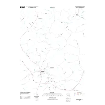 2013 Hardinsburg2013 Print · USGSHardinsburg and the surrounding Breckinridge County countryside are captured here in the early 21st century. Genealogists and local historians can trace family-named routes like Obryan Ln and Smith Ln or locate Clifton Mills and Hickerson Cemetery Ln.
 - 2013 Map of Irvington, 2013 Print
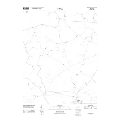 2013 Irvington2013 Print · USGSThe rural communities of Breckinridge County are documented here in the early twenty-first century as they surround the local hub of Irvington. Genealogists and researchers can locate family burial grounds like Mt Merino Cem and old crossroads like Payneville and Webster.
 - 2013 Map of Garfield, 2013 Print
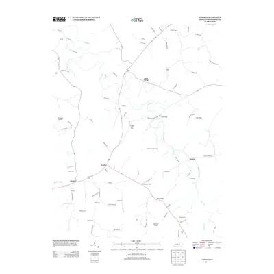 2013 Garfield2013 Print · USGSBreckinridge County maintains its rural character in the early twenty-first century, centered on the crossroads at Garfield. Genealogists can trace family heritage through numerous burial sites like Shumate Cem and namesake routes such as J B Ball Road.
 - 2013 Map of Kingswood, 2013 Print
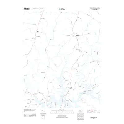 2013 Kingswood2013 Print · USGSBreckinridge County's rural landscape is shown here in the early 2010s, centered on the complex fingers of Rough River Lake. Researchers can trace family homesteads along Jack Monarch Rd or visit old communities like Cave Spring and Se Ree.
Showing maps 1-25 of 80
Top cities of Breckinridge County
Frequently asked questions
- What are the different types of historical maps available for Breckinridge County?
- What is the oldest map of Breckinridge County?
- Where can I purchase historical maps of Breckinridge County for my home or office?
- Where can I download high-res historical maps of Breckinridge County?
- Are there historical topographic maps available for Breckinridge County?
- Is there historical aerial imagery available for Breckinridge County?
- Where are historical maps of Breckinridge County sourced from?