2000s (21st Century) Maps of Pulaski County, Kentucky
Explore 105 historic maps of Pulaski County from the 2000s (21st Century). These maps offer a rare glimpse into what life looked like during the 2000s — showing old roads, neighborhoods, homes, and landmarks that have changed or disappeared over time.
Whether you're researching your family's past, planning a metal detecting trip, or studying how Pulaski County's landscape evolved across the 2000s, these high-resolution maps are a powerful tool for exploring the history of this region.
- Focus on a specific era: All maps on this page are from the 2000s, giving you a focused view of this time period.
- See what’s changed: Compare century-old streets, trails, and buildings to today's modern landscape using overlays and satellite layers.
- Research with precision: Use these maps for genealogy, historical research, land use analysis, or educational projects.
- View, download, or print: Maps are fully viewable online in high resolution, and can be downloaded or printed for your own records.
Start exploring Pulaski County's history through authentic maps from the 2000s. This is your window into the past.
Pulaski County, KY maps
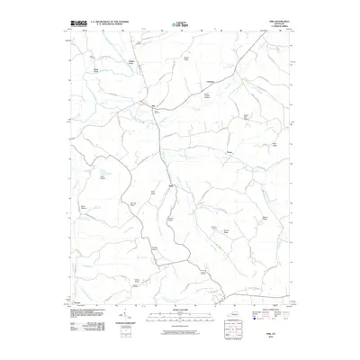
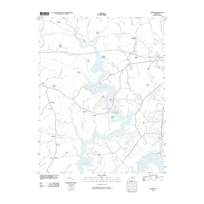
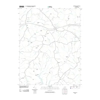
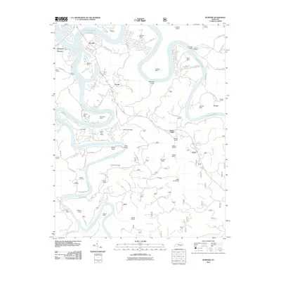
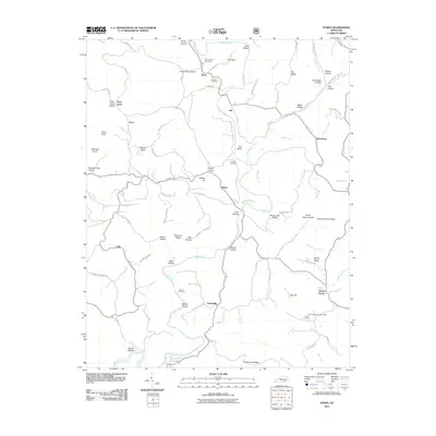
(105)- 2010 Map of Mintonville, 2010 Print
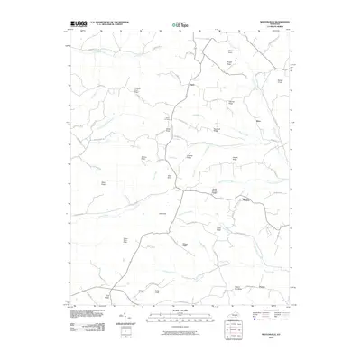 2010 Mintonville2010 Print · USGSCovers Pulaski County, including Ware, Pointer, and other nearby areas
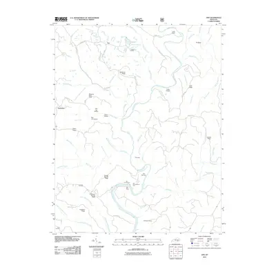
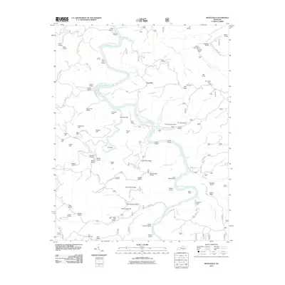
 - 2010 Map of Eli, 2010 Print
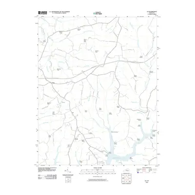 2010 Eli2010 Print · USGSCovers Pulaski County, including Honey Acre, Catherine, and other nearby areas
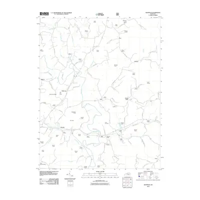
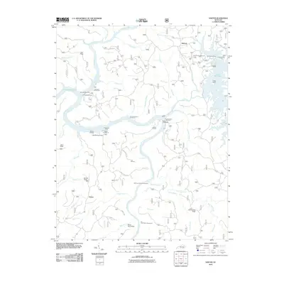
 - 2010 Map of Eubank, 2010 Print
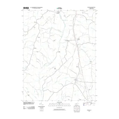 2010 Eubank2010 Print · USGSCovers Pulaski County, including Eubank, Waynesburg, and other nearby areas
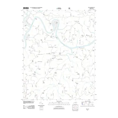
 - 2010 Map of Mill Springs, 2010 Print
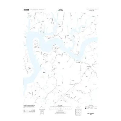
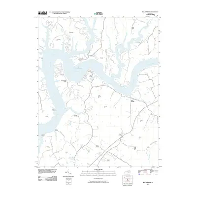 2010 Mill Springs2010 Print · USGSCovers Pulaski County, including Mill Springs, Rankin, and other nearby areas
 - 2010 Map of Phil, 2010 Print
 2010 Phil2010 Print · USGSCovers Pulaski County, including Evona, Phil, and other nearby areas
 - 2010 Map of Maretburg, 2010 Print
 2010 Maretburg2010 Print · USGSCovers Pulaski County, including Level Green, Ottawa, and other nearby areas
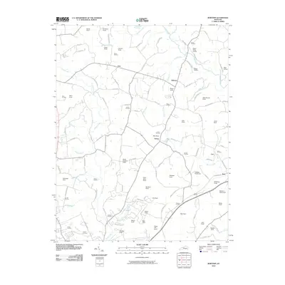
 - 2010 Map of Frazer, 2010 Print
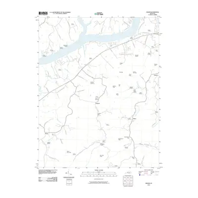 2010 Frazer2010 Print · USGSCovers Pulaski County, including Frazer, Betsey, and other nearby areas
 - 2010 Map of Science Hill, 2010 Print
 2010 Science Hill2010 Print · USGSCovers Pulaski County, including Science Hill, Hogue, and other nearby areas
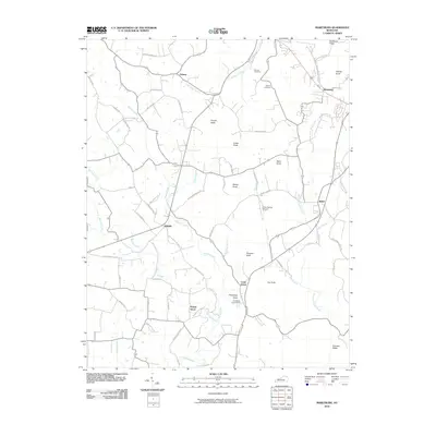
 - 2010 Map of Delmer, 2010 Print
 2010 Delmer2010 Print · USGSCovers Pulaski County, including Somerset, Oil Center, and other nearby areas
 - 2010 Map of Woodstock, 2010 Print
 2010 Woodstock2010 Print · USGSCovers Pulaski County, including Clarence, Conrad, and other nearby areas
 - 2010 Map of Somerset, 2010 Print
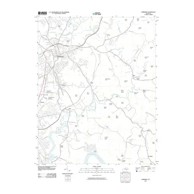 2010 Somerset2010 Print · USGSCovers Pulaski County, including Somerset, Ferguson, and other nearby areas
 - 2010 Map of Bobtown, 2010 Print
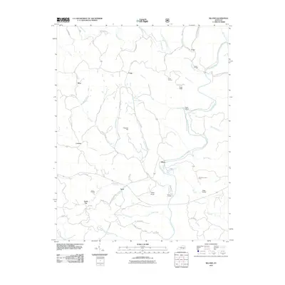
 2010 Bobtown2010 Print · USGSCovers Pulaski County, including Science Hill, Barnesburg, and other nearby areas
 - 2010 Map of Faubush, 2010 Print
 2010 Faubush2010 Print · USGSCovers Pulaski County, including Vinnie, Burnetta, and other nearby areas
 - 2010 Map of Billows, 2010 Print
 2010 Billows2010 Print · USGSCovers Pulaski County, including Squib, Bloss, and other nearby areas
 - 2010 Map of Ano, 2010 Print
 2010 Ano2010 Print · USGSCovers Pulaski County, including Ano, Goodwater, and other nearby areas
 - 2010 Map of Shopville, 2010 Print
 2010 Shopville2010 Print · USGSCovers Pulaski County, including Acorn, Dahl, and other nearby areas
 - 2010 Map of Burnside, 2010 Print
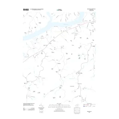
 2010 Burnside2010 Print · USGSCovers Pulaski County, including Burnside, Omega, and other nearby areas
 - 2010 Map of Nevelsville, 2010 Print
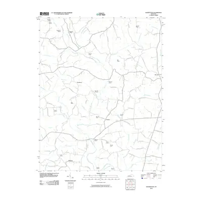
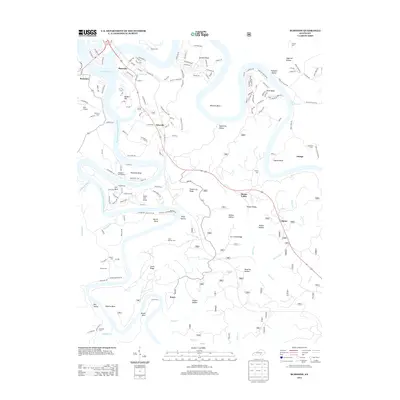
 2010 Nevelsville2010 Print · USGSCovers Pulaski County, including Nevelsville, Wayne County, and other nearby areas
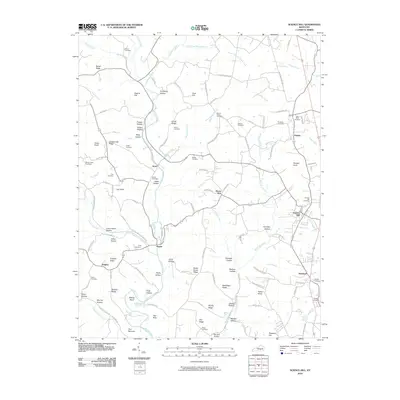
 - 2010 Map of Sawyer, 2010 Print
 2010 Sawyer2010 Print · USGSCovers Pulaski County, including Sawyer, Baldrock, and other nearby areas
 - 2011 Map of Hail, 2011 Print
 2011 Hail2011 Print · USGSCovers Pulaski County, including Funston, Blue John, and other nearby areas
 - 2011 Map of Dykes, 2011 Print
 2011 Dykes2011 Print · USGSCovers Pulaski County, including Colo, Drum, and other nearby areas
 - 2013 Map of Burnside, 2013 Print
 2013 Burnside2013 Print · USGSCovers Pulaski County, including Burnside, Omega, and other nearby areas
 - 2013 Map of Mill Springs, 2013 Print
 2013 Mill Springs2013 Print · USGSCovers Pulaski County, including Mill Springs, Rankin, and other nearby areas
 - 2013 Map of Frazer, 2013 Print
 2013 Frazer2013 Print · USGSCovers Pulaski County, including Frazer, Betsey, and other nearby areas
 - 2013 Map of Nevelsville, 2013 Print
 2013 Nevelsville2013 Print · USGSCovers Pulaski County, including Nevelsville, Wayne County, and other nearby areas
Showing maps 1-25 of 105
Top cities of Pulaski County
- Somerset historical maps
- Ferguson historical maps
- Burnside historical maps
- Science Hill historical maps
- Eubank historical maps
Frequently asked questions
- What are the different types of historical maps available for Pulaski County?
- What is the oldest map of Pulaski County?
- Where can I purchase historical maps of Pulaski County for my home or office?
- Where can I download high-res historical maps of Pulaski County?
- Are there historical topographic maps available for Pulaski County?
- Is there historical aerial imagery available for Pulaski County?
- Where are historical maps of Pulaski County sourced from?