2010s Maps of Pulaski County, Kentucky
Explore 84 historic maps of Pulaski County from the 2010s. These maps offer a rare glimpse into what life looked like during the 2010s — showing old roads, neighborhoods, homes, and landmarks that have changed or disappeared over time.
Whether you're researching your family's past, planning a metal detecting trip, or studying how Pulaski County's landscape evolved across the 2010s, these high-resolution maps are a powerful tool for exploring the history of this region.
- Focus on a specific era: All maps on this page are from the 2010s, giving you a focused view of this time period.
- See what’s changed: Compare century-old streets, trails, and buildings to today's modern landscape using overlays and satellite layers.
- Research with precision: Use these maps for genealogy, historical research, land use analysis, or educational projects.
- View, download, or print: Maps are fully viewable online in high resolution, and can be downloaded or printed for your own records.
Start exploring Pulaski County's history through authentic maps from the 2010s. This is your window into the past.
Pulaski County, KY maps
(84)- 2010 Map of Mintonville, 2010 Print
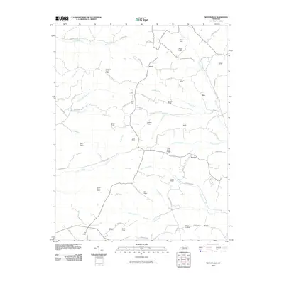 2010 Mintonville2010 Print · USGSThe rural ridges of Casey County come into focus in the early 2000s, showing a landscape of family-named knobs and winding creeks. Researchers can trace local history through sites like Spaw Cemetery, Argyle, and high points such as Green River Knob and Tarter Knob.
 - 2010 Map of Eli, 2010 Print
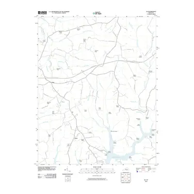 2010 Eli2010 Print · USGSRussell County, Kentucky, is shown in the early twenty-first century as rural communities overlook the inlets of the regional reservoir. Researchers can trace family history at the Eli Cemetery or locate old home sites near Honey Acre and Whittle.
 - 2010 Map of Eubank, 2010 Print
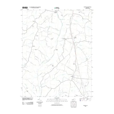 2010 Eubank2010 Print · USGSPulaski County's rural corridors and family settlements are captured here in the early twenty-first century. Genealogists and local historians can trace legacy sites like Double Spring Cemetery, Falconbury Cemetery, and the old Pond School Rd.
 - 2010 Map of Mill Springs, 2010 Print
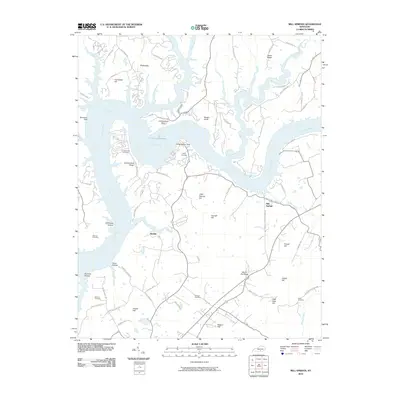 2010 Mill Springs2010 Print · USGSSouthern Kentucky's river landscape is captured here in the early twenty-first century as the Cumberland River winds through the hills. Genealogists can trace family heritage through several burial sites like Morrow Cemetery and Sloan Cemetery near the settlement of Mill Springs.
 - 2010 Map of Phil, 2010 Print
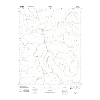 2010 Phil2010 Print · USGSCasey County ridge country is captured here in the early twenty-first century, showing a landscape defined by its hollows and river bends. Researchers can trace family roots through Carson Cemetery and Miller Cemetery or locate the rural hubs of Phil and Teddy.
 - 2010 Map of Maretburg, 2010 Print
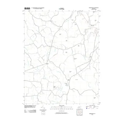 2010 Maretburg2010 Print · USGSRockcastle County is depicted here in the early twenty-first century, showing a landscape defined by prominent knobs and rural crossroads. Genealogists and local historians can trace family-named routes and landmarks like Friendship Church, Maretburg, and Sayers Cemetery.
 - 2010 Map of Frazer, 2010 Print
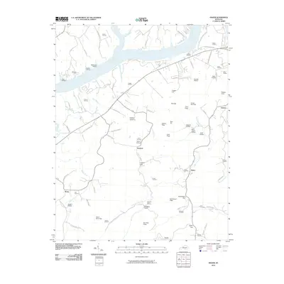 2010 Frazer2010 Print · USGSWayne County, Kentucky, in the early twenty-first century shows a landscape where deep-rooted family names still mark the land. Genealogists can trace ancestral sites at Stiggall Cemetery or Hutchinson Cemetery Number Two and locate old homesteads near Hardwick and Betsey.
 - 2010 Map of Science Hill, 2010 Print
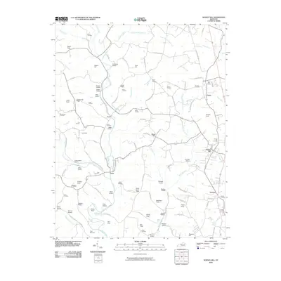 2010 Science Hill2010 Print · USGSPulaski County at the start of the decade shows a landscape of ridge-top settlements and creek-bottom hollows. Family historians can trace ancestral sites at Dick Cemetery or Van Hook Cemetery near the communities of Ansel and Science Hill.
 - 2010 Map of Delmer, 2010 Print
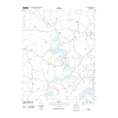 2010 Delmer2010 Print · USGSThe shorelines of Lake Cumberland define this Pulaski County landscape as it appeared in the early twenty-first century. Genealogists can locate family sites at Mill Springs National Cemetery, Pisgah Cemetery, and the old settlement of Delmer.
 - 2010 Map of Woodstock, 2010 Print
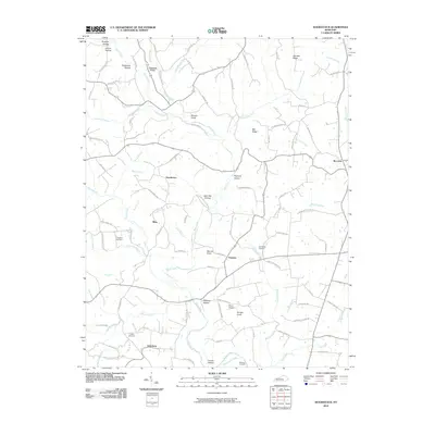 2010 Woodstock2010 Print · USGSPulaski County communities like Goochtown and Estesburg are shown in detail during the early twenty-first century. Local history researchers can trace family landmarks and cemeteries such as Singleton Cemetery, Griffin Cemetery, and Goodhope Church.
 - 2010 Map of Somerset, 2010 Print
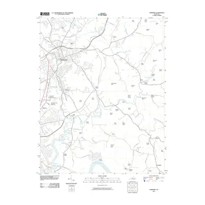 2010 Somerset2010 Print · USGSThe growing city of Somerset and its neighboring towns of Ferguson and Elihu are captured here as they appeared in 2010. Genealogists can trace family names through several rural burial sites like Dutton Cemetery and Bradley Cemetery, or explore the curiously named Thunder Struck Knob and Lick Skillet Knob.
 - 2010 Map of Bobtown, 2010 Print
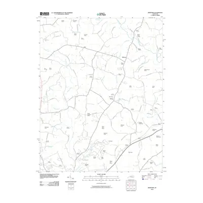 2010 Bobtown2010 Print · USGSNorth of Somerset in the early twenty-first century, this landscape is a dense network of family-named knobs and rural crossroads. Researchers can trace ancestral roots through numerous local burial sites like Cundiff Cemetery and Dollens Cemetery near Etna.
 - 2010 Map of Faubush, 2010 Print
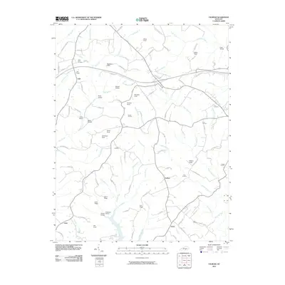 2010 Faubush2010 Print · USGSRussell County's rural landscape is documented here in the early twenty-first century, showing the small communities of Ingle and Norfleet. Genealogists and local historians can locate numerous family burial sites, including the Floyd Cemetery, Hudson Cemetery, and Cedar Point Cemetery.
 - 2010 Map of Billows, 2010 Print
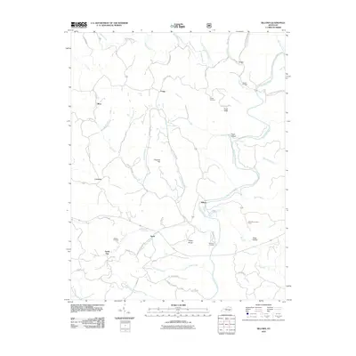 2010 Billows2010 Print · USGSEastern Pulaski County and the Rockcastle River are shown here as they appeared in the early 2000s. Researchers can locate family landmarks such as Bustle Cemetery, the Indian Trail Lookout Tower, and small rural hubs like Squib and Billows.
 - 2010 Map of Ano, 2010 Print
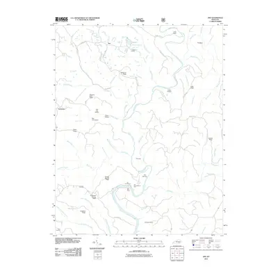 2010 Ano2010 Print · USGSNear the Rockcastle River in the early twenty-first century, this area of Pulaski County preserves a landscape of high ridges and deep river bends. Genealogists and hikers can trace old family burial grounds like Bald Rock Cemetery or explore the river corridor near the Bee Rock Recreation Area and The Narrows.
 - 2010 Map of Shopville, 2010 Print
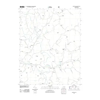 2010 Shopville2010 Print · USGSPulaski County's rural landscape at the start of the 2010s reveals a community deeply rooted in its hills and hollows. Researchers can trace family history through dozens of local burial sites, including McKinney Cemetery, Bullock Cemetery, and Mize Cem.
 - 2010 Map of Burnside, 2010 Print
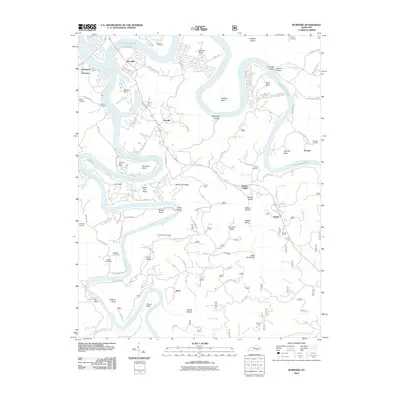 2010 Burnside2010 Print · USGSThe Cumberland River valley is captured here in the early twenty-first century as it winds through Pulaski County. Researchers can trace rural lineages through local landmarks like Cave Springs Cemetery or locate the historic river settlements of Sloans Valley and Alpine.
 - 2010 Map of Nevelsville, 2010 Print
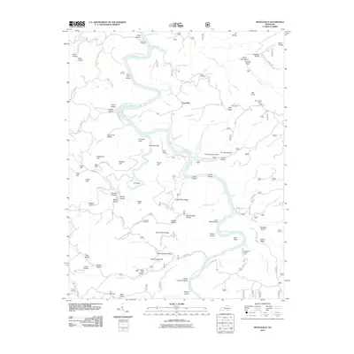 2010 Nevelsville2010 Print · USGSThe Big South Fork of the Cumberland River dominates this McCreary County landscape in the early 2000s. Researchers can trace local history through family sites like Keith Cemetery and Morton Station or explore river landmarks such as Pinnacle Rock and Hens Nest Cliff.
 - 2010 Map of Sawyer, 2010 Print
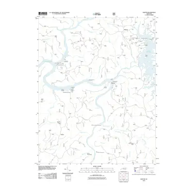 2010 Sawyer2010 Print · USGSMcCreary County at the start of the 2010s reveals a landscape deeply integrated with the Daniel Boone National Forest and Lake Cumberland. Local historians can trace family ties and community landmarks from Sawyer to Baldrock, including the Price Cemetery and Hamilton Cemetery.
 - 2011 Map of Hail, 2011 Print
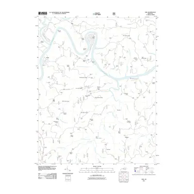 2011 Hail2011 Print · USGSMcCreary County's ridge-and-hollow landscape is captured here in the early twenty-first century as the winding Lake Cumberland cuts through the timbered terrain. Researchers can locate remote settlements like Bauer and Blue John while tracing family names at John Martin Ridge and Ferguson Hollow.
 - 2011 Map of Dykes, 2011 Print
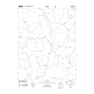 2011 Dykes2011 Print · USGSPulaski County at the start of the millennium is a land of winding creeks and ridge-top roads. Genealogists and hikers can trace old family burial grounds like Bradley Cemetery or find the landmark Mount Victory Lookout Tower and The Sinks.
 - 2013 Map of Burnside, 2013 Print
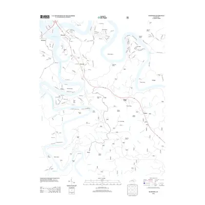 2013 Burnside2013 Print · USGSPulaski County at the height of its modern lake-country development shows a landscape shaped by the waters of the Cumberland. Genealogists can trace family names through numerous remote burial sites like Gourd Cem and Mayfield Cem or the settlement at Keno.
 - 2013 Map of Mill Springs, 2013 Print
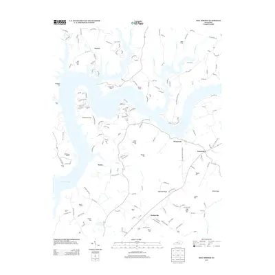 2013 Mill Springs2013 Print · USGSNorth of Monticello in the early twenty-first century, the shoreline of Lake Cumberland shapes the geography of this rural Kentucky landscape. Genealogists and local historians can trace family locations near Mill Springs and locate older burial sites like Morrow Cem and Smith Cem.
 - 2013 Map of Frazer, 2013 Print
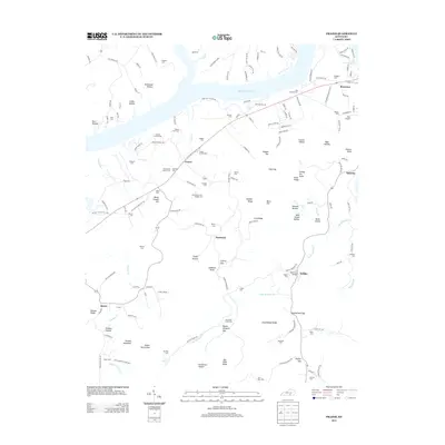 2013 Frazer2013 Print · USGSWayne County's rolling highlands and the southern banks of Lake Cumberland are captured here in the early twenty-first century. Genealogists can locate dozens of remote family burial sites, including the Barker Family Cem, Corbit Family Cem, and J S Hardwick Cem.
 - 2013 Map of Nevelsville, 2013 Print
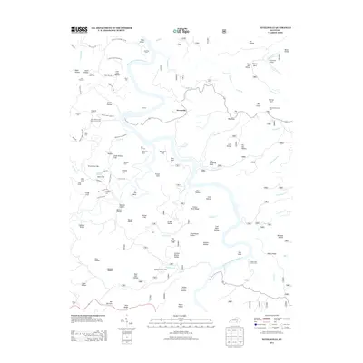 2013 Nevelsville2013 Print · USGSMcCreary County's river-carved ridges and remote hollows are documented here during the early twenty-first century. Researchers can locate numerous family burial sites and landmarks like Morton Station, Jane Keith Cem, and the prominent Pinnacle Rock.
Showing maps 1-25 of 84
Top cities of Pulaski County
- Somerset historical maps
- Ferguson historical maps
- Burnside historical maps
- Science Hill historical maps
- Eubank historical maps
Frequently asked questions
- What are the different types of historical maps available for Pulaski County?
- What is the oldest map of Pulaski County?
- Where can I purchase historical maps of Pulaski County for my home or office?
- Where can I download high-res historical maps of Pulaski County?
- Are there historical topographic maps available for Pulaski County?
- Is there historical aerial imagery available for Pulaski County?
- Where are historical maps of Pulaski County sourced from?