2010s Maps of Avoyelles Parish, Louisiana
Explore 69 historic maps of Avoyelles Parish from the 2010s. These maps offer a rare glimpse into what life looked like during the 2010s — showing old roads, neighborhoods, homes, and landmarks that have changed or disappeared over time.
Whether you're researching your family's past, planning a metal detecting trip, or studying how Avoyelles Parish's landscape evolved across the 2010s, these high-resolution maps are a powerful tool for exploring the history of this region.
- Focus on a specific era: All maps on this page are from the 2010s, giving you a focused view of this time period.
- See what’s changed: Compare century-old streets, trails, and buildings to today's modern landscape using overlays and satellite layers.
- Research with precision: Use these maps for genealogy, historical research, land use analysis, or educational projects.
- View, download, or print: Maps are fully viewable online in high resolution, and can be downloaded or printed for your own records.
Start exploring Avoyelles Parish's history through authentic maps from the 2010s. This is your window into the past.
Avoyelles Parish, LA maps
(69)- 2012 Map of Lac Sainte Agnes, 2012 Print
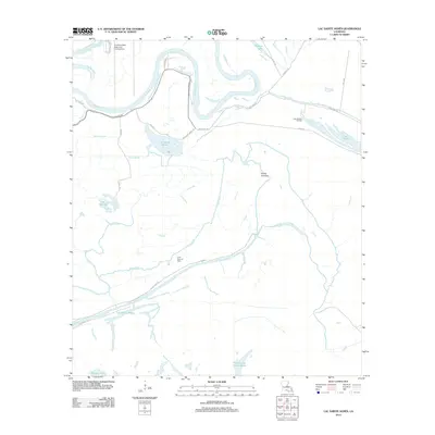 2012 Lac Sainte Agnes2012 Print · USGSThe Louisiana delta in the early twenty-first century is a complex web of shifting river channels and oil fields. Genealogists and historians can trace the intricate waterways and local landmarks like Lac Sainte Agnes, Pointe Tournant, and the Lake Ophelia Oil Field.
 - 2012 Map of Acme, 2012 Print
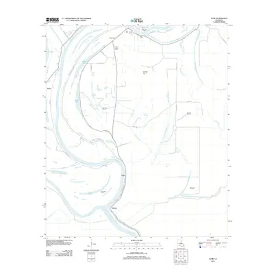 2012 Acme2012 Print · USGSCatahoula Parish's river-driven landscape is captured here in the early twenty-first century as the delta terrain continues to shape local industry and life. Genealogists can locate family sites like Trisler Cem and Dale Cem, while researchers trace the river-bend communities of Acme and Delhoste.
 - 2012 Map of Ile Natchitoches, 2012 Print
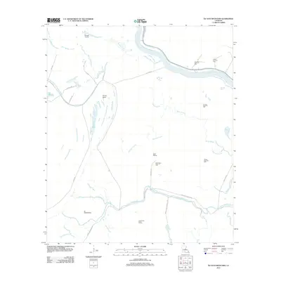 2012 Ile Natchitoches2012 Print · USGSAvoyelles Parish is shown here as a dense network of bayous and petroleum extraction sites in the early twenty-first century. Researchers can trace the local economy and land use through labels for the Milligan Bayou Oil Field, Wolf Prairie, and Ile Natchitoches.
 - 2012 Map of Big Bend, 2012 Print
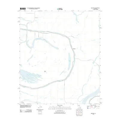 2012 Big Bend2012 Print · USGSThe alluvial wetlands of Avoyelles Parish come to life in this recent topographic study, showing the persistent relationship between the bayous and local settlements. Genealogists and historians can trace family-named roads like Pete Laborde Rd near Big Bend and the oxbow waters of Horseshoe Lake.
 - 2012 Map of Moreauville, 2012 Print
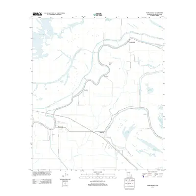 2012 Moreauville2012 Print · USGSAvoyelles Parish is captured here in the early 2010s, showing a landscape defined by the winding Bayou des Glaises. Researchers can trace old routes like Old Highway 1 and locate local landmarks such as Mount Zion Cem and the Parham Strip airfield.
 - 2012 Map of Lower Sunk Lake, 2012 Print
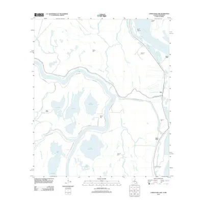 2012 Lower Sunk Lake2012 Print · USGSConcordia Parish in the early 2010s reveals a water-bound landscape of river bends and active petroleum production. Researchers can trace the proximity of settlements like Union Point and Black Hawk to the Union Point Oil Field and the banks of the Mississippi River.
 - 2012 Map of Turnbull Island, 2012 Print
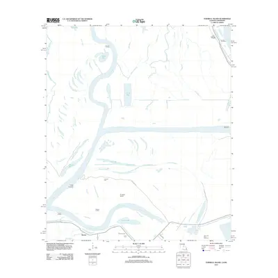 2012 Turnbull Island2012 Print · USGSThe confluence of the Red and Mississippi Rivers comes into focus here in the early twenty-first century. Genealogists and local historians can trace family connections at Turnbull Cem or locate former riverboat stops like Barbre Landing and Chandler Landing.
 - 2012 Map of Larto Lake South, 2012 Print
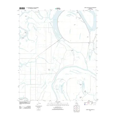 2012 Larto Lake South2012 Print · USGSCatahoula Parish's river-rich landscape is captured here in the early twenty-first century, featuring the interconnected waters of the Red River and Larto Lake. Researchers can locate family landmarks like Nichols Cem or trace the development of the Saline Lake Oil Field.
 - 2012 Map of Morrow, 2012 Print
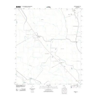 2012 Morrow2012 Print · USGSAgricultural life in rural Avoyelles Parish remains centered around small settlements and water management at the start of the 2010s. Researchers can locate numerous family-named burial sites like Goudeau Cem and explore landmarks like the Big Cane Gas Field.
 - 2012 Map of Cottonport, 2012 Print
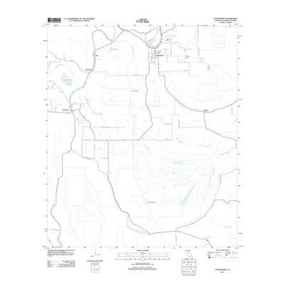 2012 Cottonport2012 Print · USGSAvoyelles Parish at the start of the 2010s reveals a rural landscape intertwined with a complex network of waterways. Researchers can trace the layout of small communities like Evergreen and Hickory alongside landmarks such as Saint Anthony Cem and the Big Cane Gas Field.
 - 2012 Map of Whiteville, 2012 Print
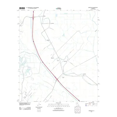 2012 Whiteville2012 Print · USGSThe St. Landry Parish landscape is defined by the massive Bayou Boeuf-Cocodrie Diversion Channel as it appeared in the early 2010s. Researchers can trace the legacy of rural settlements at Whiteville and Gold Dust or locate family sites near Fontenot Cemetery.
 - 2012 Map of Bunkie, 2012 Print
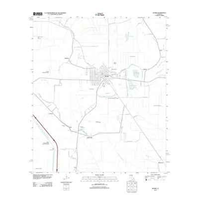 2012 Bunkie2012 Print · USGSBunkie and its surrounding bayous are captured here during a period of active oil and gas extraction in central Louisiana. Genealogists can locate several family and community burial sites like Hatfield Cem and Fogleman Cem alongside landmarks like Mixon Airport.
 - 2012 Map of Lone Pine, 2012 Print
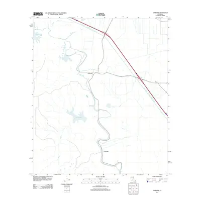 2012 Lone Pine2012 Print · USGSLouisiana's Avoyelles Parish lowlands come into sharp focus in the early twenty-first century, showing a landscape defined by water management. You can trace the engineering of the Bayou Boeuf - Cocodrie Diversion Channel and find local landmarks like Lone Pine and Johnson Cem.
 - 2012 Map of Belle d'Eau, 2012 Print
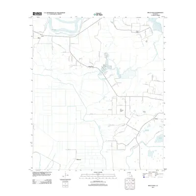 2012 Belle d'Eau2012 Print · USGSThe alluvial plains of Avoyelles Parish are captured here in the early 2010s, showing a landscape defined by the Red River and rural bayous. Researchers can trace family-named routes and locate quiet local landmarks such as Kalone Cem, Echo Landing, and the community of Belle d'Eau.
 - 2012 Map of Marksville South, 2012 Print
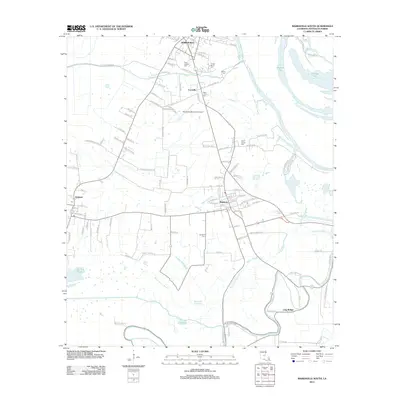 2012 Marksville South2012 Print · USGSAvoyelles Parish near the turn of the twenty-first century reveals a landscape where Cajun and Indigenous history meet the bayou. Researchers can trace family roots at Tunica-Biloxi Cem or explore the water-bound hamlets of Mansura, Long Bridge, and Cocoville.
 - 2012 Map of Effie, 2012 Print
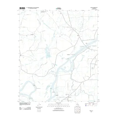 2012 Effie2012 Print · USGSAvoyelles Parish is defined by the winding Red River and its network of bayous in this recent survey. Researchers can trace local lineage through sites like Saint Catherine Cem or locate historical river access at Moncla Landing and Myrtle Grove Landing.
 - 2012 Map of Buckeye, 2012 Print
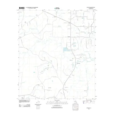 2012 Buckeye2012 Print · USGSLouisiana's bayou country is captured in the early twenty-first century, showing a landscape of prairies and oil production. Researchers can trace family roots through numerous burial sites like Paul Cem or Slocum Cem and locate the Big Island Oil Field.
 - 2012 Map of Powell Point, 2012 Print
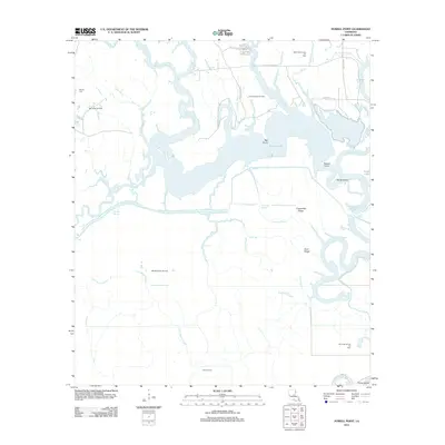 2012 Powell Point2012 Print · USGSRapides Parish's wetland interior is captured here in the early twenty-first century, showing a landscape defined by expansive bayous and petroleum extraction. Researchers can trace the layout of various energy sites like the Vick Oil Field and Big Island Oil Field alongside local landmarks such as Deville Cem and Saline Lake.
 - 2012 Map of Marksville North, 2012 Print
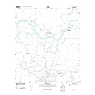 2012 Marksville North2012 Print · USGSAvoyelles Parish in the early twenty-first century reveals a landscape where military history and the river economy meet. Genealogists and historians can trace family roots through Fort Derussy Cem or locate the site of Fort De Russy near the banks of the Red River.
 - 2012 Map of Bayou Current, 2012 Print
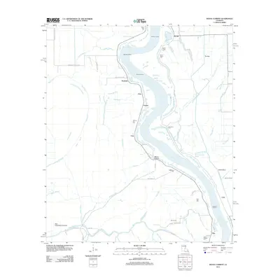 2012 Bayou Current2012 Print · USGSThe Atchafalaya River dominates this St. Landry Parish landscape in the early twenty-first century, shaping a region defined by its bayous and floodways. Local historians can trace family ties at Morning Star Cem or locate riverfront sites like Burlong Landing and Barberton Landing.
 - 2012 Map of Plaucheville, 2012 Print
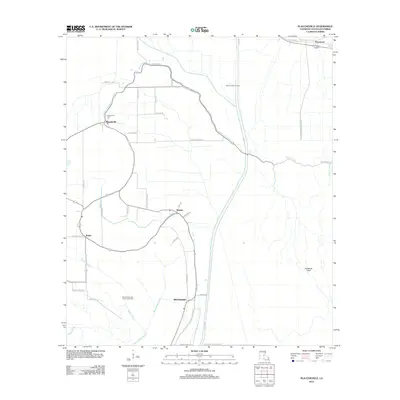 2012 Plaucheville2012 Print · USGSThe rural stretches of Avoyelles Parish are captured here during the early 2010s, showcasing a landscape shaped by water and agriculture. Genealogists and local historians can trace family locations near Plaucheville, Dupont, and the Plaucheville Cem.
 - 2012 Map of Bayou Jack, 2012 Print
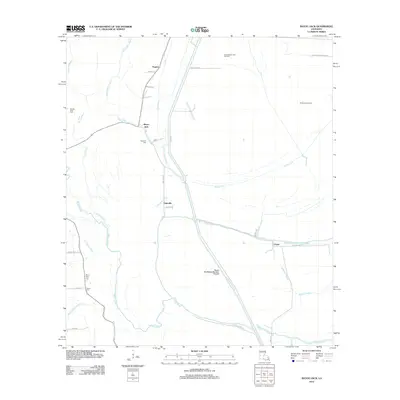 2012 Bayou Jack2012 Print · USGSThis St. Landry Parish corridor in the early 2010s reveals a landscape of water management and rural settlement patterns. Genealogists and local historians can trace family-named sites like Spring Bluff Cem, the North Bayou Jack Oil Field, and the community of Taterville.
 - 2012 Map of Simmesport, 2012 Print
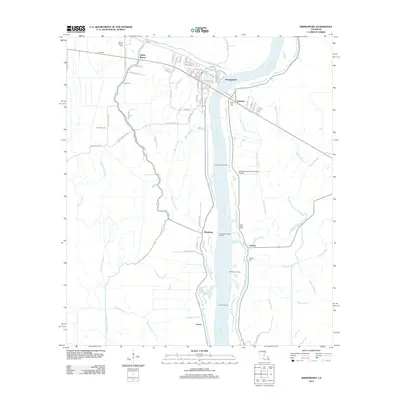 2012 Simmesport2012 Print · USGSSimmesport and the Atchafalaya River basin are captured here in the early twenty-first century, showing a landscape of river landings and bayou settlements. Trace local family history through Mount Calvary Cemetery or locate old river access points like Deer Range Landing.
 - 2015 Map of Buckeye, 2015 Print
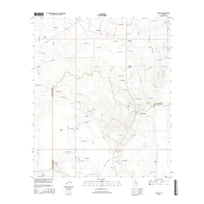 2015 Buckeye2015 Print · USGSThe rural interface of Rapides and Avoyelles Parishes is captured here in the mid-2010s, showing a landscape defined by prairies and bayous. Researchers can trace numerous local burial sites and landmarks, from Guillory Cem and Paul Cem to the raised grounds of Big Island.
 - 2015 Map of Marksville South, 2015 Print
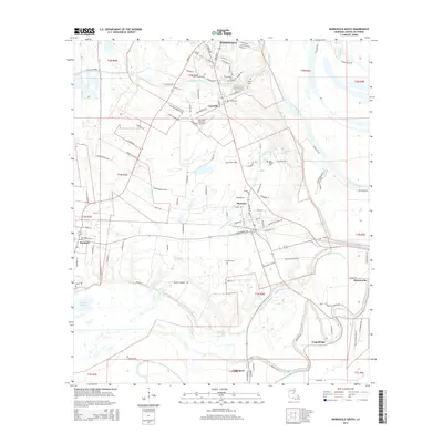 2015 Marksville South2015 Print · USGSCentral Avoyelles Parish settlements and intricate bayou networks are documented here in the mid-2010s. Genealogists can locate family-named landmarks and cemeteries like Tunica-Biloxi Cem, Jerusalem Cem, and Long Bridge.
Showing maps 1-25 of 69
Top cities of Avoyelles Parish
- Marksville historical maps
- Bunkie historical maps
- Cottonport historical maps
- Simmesport historical maps
- Mansura historical maps
- Moreauville historical maps
See more
Frequently asked questions
- What are the different types of historical maps available for Avoyelles Parish?
- What is the oldest map of Avoyelles Parish?
- Where can I purchase historical maps of Avoyelles Parish for my home or office?
- Where can I download high-res historical maps of Avoyelles Parish?
- Are there historical topographic maps available for Avoyelles Parish?
- Is there historical aerial imagery available for Avoyelles Parish?
- Where are historical maps of Avoyelles Parish sourced from?