2020s Maps of DeSoto Parish, Louisiana
Explore 49 historic maps of DeSoto Parish from the 2020s. These maps offer a rare glimpse into what life looked like during the 2020s — showing old roads, neighborhoods, homes, and landmarks that have changed or disappeared over time.
Whether you're researching your family's past, planning a metal detecting trip, or studying how DeSoto Parish's landscape evolved across the 2020s, these high-resolution maps are a powerful tool for exploring the history of this region.
- Focus on a specific era: All maps on this page are from the 2020s, giving you a focused view of this time period.
- See what’s changed: Compare century-old streets, trails, and buildings to today's modern landscape using overlays and satellite layers.
- Research with precision: Use these maps for genealogy, historical research, land use analysis, or educational projects.
- View, download, or print: Maps are fully viewable online in high resolution, and can be downloaded or printed for your own records.
Start exploring DeSoto Parish's history through authentic maps from the 2020s. This is your window into the past.
DeSoto Parish, LA maps
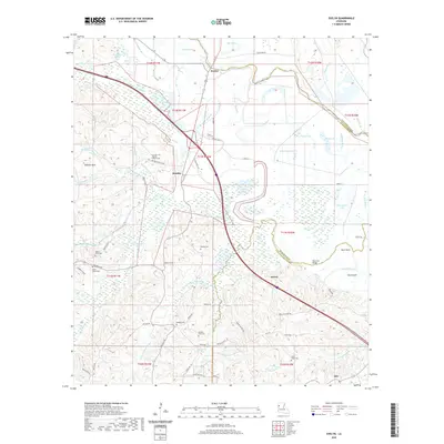
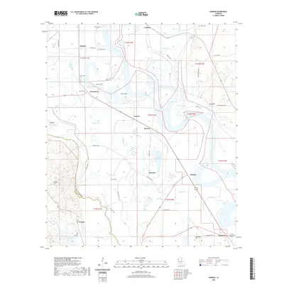
(49)- 2020 Map of Logansport West, 2020 Print
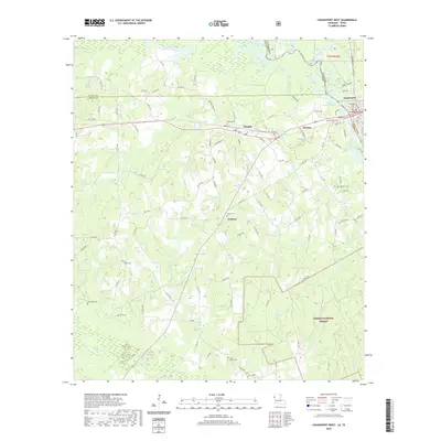 2020 Logansport West2020 Print · USGSCovers DeSoto Parish, including Logansport, Joaquin, and other nearby areas
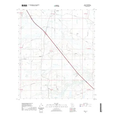
 - 2020 Map of Pelican, 2020 Print
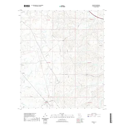 2020 Pelican2020 Print · USGSCovers DeSoto Parish, including Pelican, Grove Hill, and other nearby areas
 - 2020 Map of Union Springs, 2020 Print
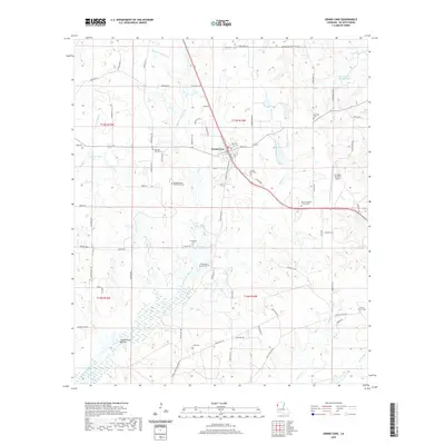
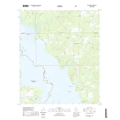 2020 Union Springs2020 Print · USGSCovers DeSoto Parish, including Huxley, Union Springs, and other nearby areas
 - 2020 Map of Logansport East, 2020 Print
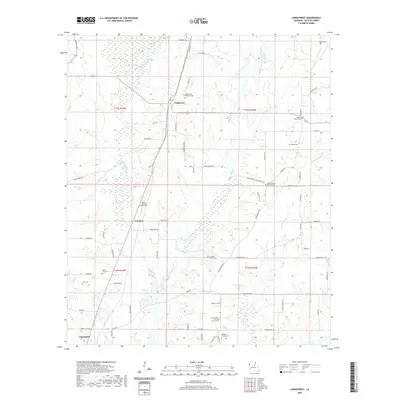
 2020 Logansport East2020 Print · USGSCovers DeSoto Parish, including Logansport, Stanley, and other nearby areas
 - 2020 Map of Hollis Creek, 2020 Print
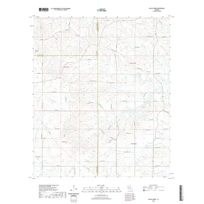 2020 Hollis Creek2020 Print · USGSCovers DeSoto Parish, including Dobs Crossing, Natchitoches Parish, and other nearby areas
 - 2020 Map of Hanna, 2020 Print
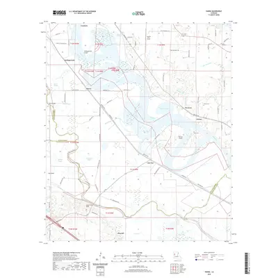 2020 Hanna2020 Print · USGSCovers DeSoto Parish, including King Hill, Lake End, and other nearby areas
 - 2020 Map of Hunter, 2020 Print
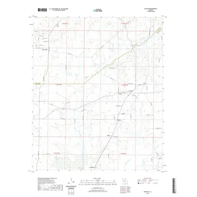
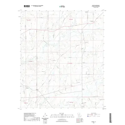 2020 Hunter2020 Print · USGSCovers DeSoto Parish, including Hunter, Lula, and other nearby areas
 - 2020 Map of Converse, 2020 Print
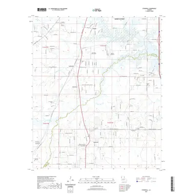
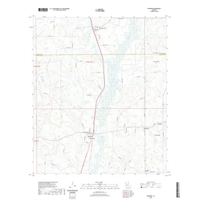 2020 Converse2020 Print · USGSCovers DeSoto Parish, including Converse, Mitchell, and other nearby areas
 - 2020 Map of Trenton, 2020 Print
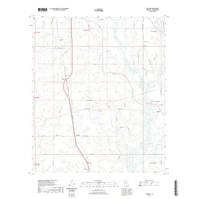 2020 Trenton2020 Print · USGSCovers DeSoto Parish, including Catuna, Oxford, and other nearby areas
 - 2020 Map of Evelyn, 2020 Print
 2020 Evelyn2020 Print · USGSCovers DeSoto Parish, including Rambin, Ajax, and other nearby areas
 - 2020 Map of Holly, 2020 Print
 2020 Holly2020 Print · USGSCovers DeSoto Parish, including Kingston, Holly, and other nearby areas
 - 2020 Map of Grand Cane, 2020 Print
 2020 Grand Cane2020 Print · USGSCovers DeSoto Parish, including Grand Cane, United States, and other nearby areas
 - 2020 Map of Bayou Pierre Lake, 2020 Print
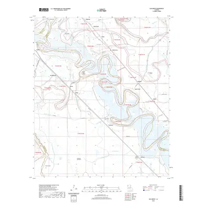
 2020 Bayou Pierre Lake2020 Print · USGSCovers DeSoto Parish, including Carmel, Goss, and other nearby areas
 - 2020 Map of Longstreet, 2020 Print
 2020 Longstreet2020 Print · USGSCovers DeSoto Parish, including Logansport, Longstreet, and other nearby areas
 - 2020 Map of Stonewall, 2020 Print
 2020 Stonewall2020 Print · USGSCovers DeSoto Parish, including Shreveport, Stonewall, and other nearby areas
 - 2020 Map of Mansfield, 2020 Print
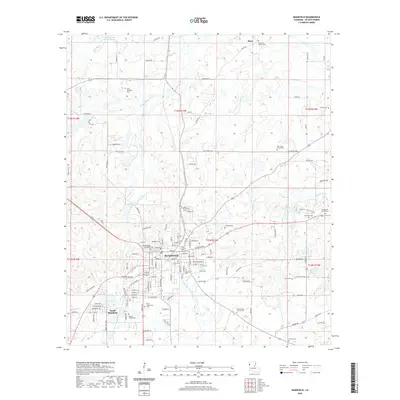 2020 Mansfield2020 Print · USGSCovers DeSoto Parish, including Mansfield, South Mansfield, and other nearby areas
 - 2020 Map of Gloster, 2020 Print
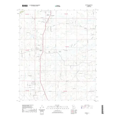 2020 Gloster2020 Print · USGSCovers DeSoto Parish, including Stonewall, Kickapoo, and other nearby areas
 - 2020 Map of Keatchie, 2020 Print
 2020 Keatchie2020 Print · USGSCovers DeSoto Parish, including Longstreet, Keatchie, and other nearby areas
 - 2020 Map of Clear Lake, 2020 Print
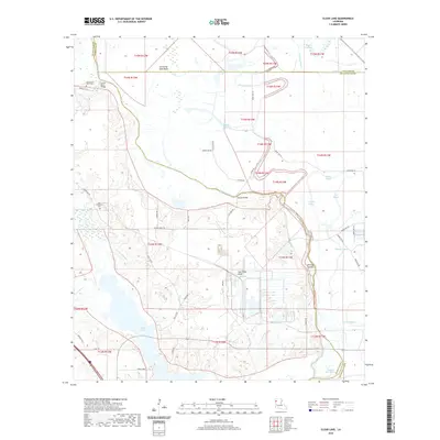 2020 Clear Lake2020 Print · USGSCovers DeSoto Parish, including Caddo Parish, Red River Parish, and other nearby areas
 - 2020 Map of Elm Grove, 2020 Print
 2020 Elm Grove2020 Print · USGSCovers DeSoto Parish, including Atkins, Elm Grove, and other nearby areas
 - 2020 Map of Wallace Lake, 2020 Print
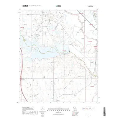 2020 Wallace Lake2020 Print · USGSCovers DeSoto Parish, including Shreveport, Stonewall, and other nearby areas
 - 2020 Map of Pleasant Hill, 2020 Print
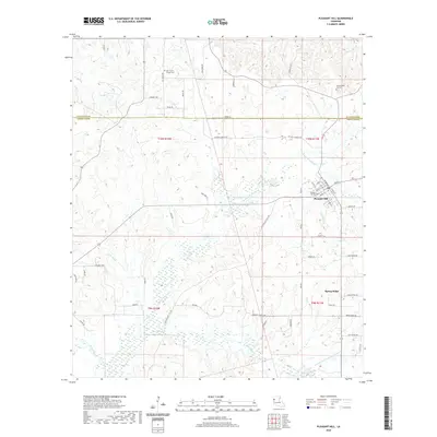 2020 Pleasant Hill2020 Print · USGSCovers DeSoto Parish, including Pleasant Hill, Spring Ridge, and other nearby areas
 - 2020 Map of Harmon, 2020 Print
 2020 Harmon2020 Print · USGSCovers DeSoto Parish, including Carroll, Oxbow, and other nearby areas
 - 2022 Map of Huxley, 2022 Print
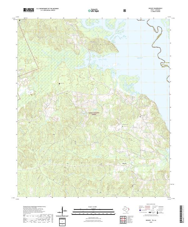 2022 Huxley2022 Print · USGSThe Sabine River bottomlands in Shelby County appear here as they are today, balanced between modern forest management and old family homesteads. Genealogists can trace rural roots through Star Spring Cem, Permenter Cem, and the waterside roads near Huxley.
 - 2022 Map of Old Panola, 2022 Print
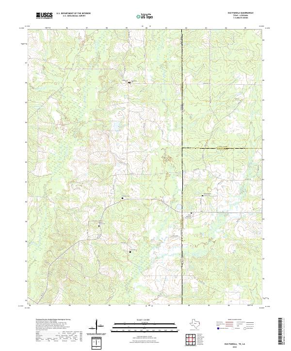 2022 Old Panola2022 Print · USGSStretching across the Texas and Louisiana state line, this recent survey documents the rural landscape near Socagee Cr. Researchers can locate historic family burial sites like Centennial Cem, Paradise Cem, and Scott Cem.
Showing maps 1-25 of 49
Top cities of DeSoto Parish
- Mansfield historical maps
- Stonewall historical maps
- Logansport historical maps
- Grand Cane historical maps
- Longstreet historical maps
- Stanley historical maps
Frequently asked questions
- What are the different types of historical maps available for DeSoto Parish?
- What is the oldest map of DeSoto Parish?
- Where can I purchase historical maps of DeSoto Parish for my home or office?
- Where can I download high-res historical maps of DeSoto Parish?
- Are there historical topographic maps available for DeSoto Parish?
- Is there historical aerial imagery available for DeSoto Parish?
- Where are historical maps of DeSoto Parish sourced from?