2000s (21st Century) Maps of Franklin Parish, Louisiana
Explore 115 historic maps of Franklin Parish from the 2000s (21st Century). These maps offer a rare glimpse into what life looked like during the 2000s — showing old roads, neighborhoods, homes, and landmarks that have changed or disappeared over time.
Whether you're researching your family's past, planning a metal detecting trip, or studying how Franklin Parish's landscape evolved across the 2000s, these high-resolution maps are a powerful tool for exploring the history of this region.
- Focus on a specific era: All maps on this page are from the 2000s, giving you a focused view of this time period.
- See what’s changed: Compare century-old streets, trails, and buildings to today's modern landscape using overlays and satellite layers.
- Research with precision: Use these maps for genealogy, historical research, land use analysis, or educational projects.
- View, download, or print: Maps are fully viewable online in high resolution, and can be downloaded or printed for your own records.
Start exploring Franklin Parish's history through authentic maps from the 2000s. This is your window into the past.
Franklin Parish, LA maps
(115)- 2012 Map of Wisner, 2012 Print
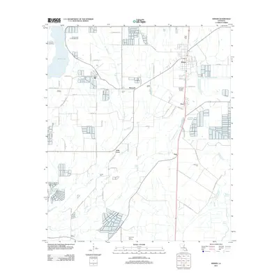 2012 Wisner2012 Print · USGSFranklin Parish settlement and industry are on full display in this 2012 survey of the Louisiana bayou country. Genealogists and local historians can trace rural family landmarks like Hope Estate Cem, the village of Metropolis, and the Wisner Oil Field.
 - 2012 Map of Enterprise, 2012 Print
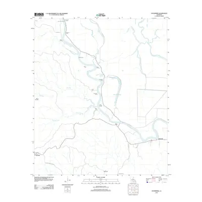 2012 Enterprise2012 Print · USGSCatahoula Parish river life is on full display in the early twenty-first century as the winding Ouachita River dictates the local geography. Genealogists and historians can trace numerous family-named sites and river access points like McSween Cem, Cottonwood Landing, and the settlement of Enterprise.
 - 2012 Map of Gretna Green, 2012 Print
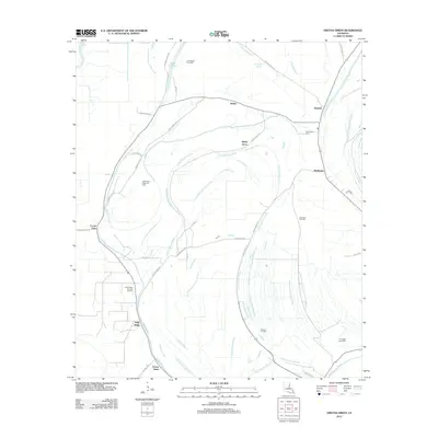 2012 Gretna Green2012 Print · USGSTensas Parish in the early 2010s reveals a landscape where old settlements meet a busy energy economy. Genealogists and local historians can locate Mayflower Cem and trace the footprints of communities like Gretna Green and Justina.
 - 2012 Map of Extension, 2012 Print
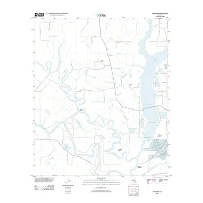 2012 Extension2012 Print · USGSThe Ouachita and Boeuf Rivers wind through this water-rich Louisiana landscape during the early 2010s. Researchers can locate local landmarks like Carrway Cem, the landing at Jones Landing, and the riverside terrain of Rabbit Island.
 - 2012 Map of Oakley, 2012 Print
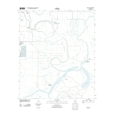 2012 Oakley2012 Print · USGSFranklin Parish river life and bottomland geography are detailed in this recent survey. Researchers can trace historical water access points like Big A Plenty Landing and Craig Landing or locate the old crossing at Kendrick Ferry.
 - 2012 Map of Harrisonburg, 2012 Print
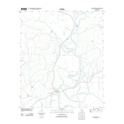 2012 Harrisonburg2012 Print · USGSCatahoula Parish in the early 2010s shows a landscape where river navigation and energy production meet. Genealogists and local historians can trace family land via Boothe Cemetery Rd or locate the Harrisonburg Cem near the banks of the Ouachita River.
 - 2012 Map of Gilbert, 2012 Print
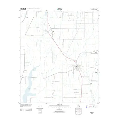 2012 Gilbert2012 Print · USGSFranklin Parish at the start of the 2010s reveals a landscape defined by its bayous and small crossroads communities. Researchers can trace family sites and local infrastructure through the Chase Cem, Wisner-Gilbert Airport, and the settlement of Jigger.
 - 2012 Map of Newlight, 2012 Print
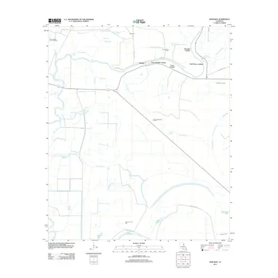 2012 Newlight2012 Print · USGSTensas Parish at the start of the 2010s reveals a landscape deeply intertwined with the river and the oil industry. Researchers can trace the riverfront at Remolina Landing and Glade Bayou Landing or locate remote energy sites like the Lake Formosa Oil Field.
 - 2012 Map of Baskinton, 2012 Print
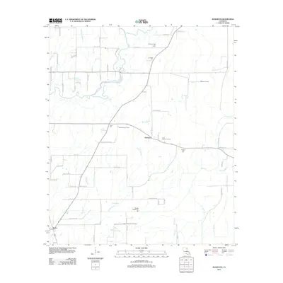 2012 Baskinton2012 Print · USGSFranklin Parish in the early 2010s shows a landscape of bayous and oil fields surrounding the settlements of Baskin and Baskinton. Genealogists and researchers can locate family landmarks such as Friendship Cemetery and Union Cemetery.
 - 2012 Map of Tensas Bluff, 2012 Print
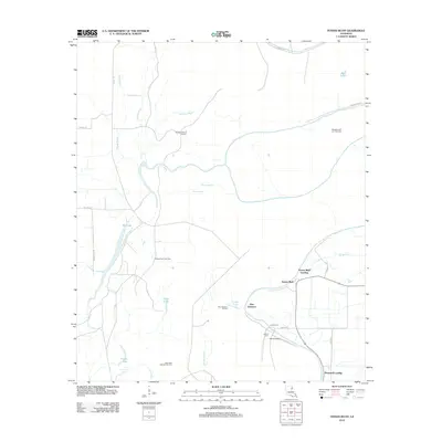 2012 Tensas Bluff2012 Print · USGSTensas Parish in the early twenty-first century remains a landscape defined by the winding Tensas River and active energy extraction. Genealogists and local historians can locate riverfront sites like Tensas Bluff Landing, the Jordan Cem, and numerous energy sites such as the West New Quarters Oil Field.
 - 2012 Map of Delhi, 2012 Print
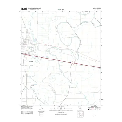 2012 Delhi2012 Print · USGSRichland Parish during the early 2010s shows a landscape of bayou landings and energy production. Researchers can trace the heritage of Delhi and Waverly while locating sites like the Delhi Oil Field, Waverly Cem, and Scott Landing.
 - 2012 Map of Dunn, 2012 Print
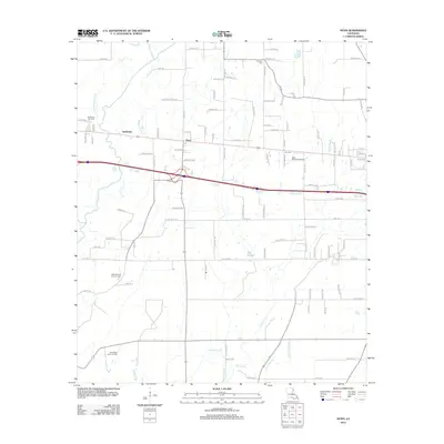 2012 Dunn2012 Print · USGSRichland Parish oil and gas operations are at their peak in this early 21st-century record of Louisiana's energy landscape. Researchers can trace the industrial footprint of the Delhi Refining Company and locate rural landmarks like Newton Cem and the settlement of Dunn.
 - 2012 Map of Hebert, 2012 Print
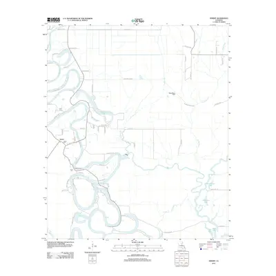 2012 Hebert2012 Print · USGSCaldwell Parish river life is captured here in the early twenty-first century as the Boeuf River winds through the landscape. Researchers can trace family sites at Hebert Cem or explore the river-driven geography of Hebert Landing and Woolen Lake.
 - 2012 Map of Winnsboro, 2012 Print
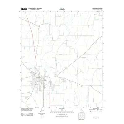 2012 Winnsboro2012 Print · USGSWinnsboro and the surrounding Franklin Parish landscape are captured here in the early twenty-first century, showing a town deeply integrated with its alluvial geography. Researchers can trace family history at the Old Winnsboro Cem or locate the True Light Church Gas Field and Wayside Cem.
 - 2012 Map of Mason, 2012 Print
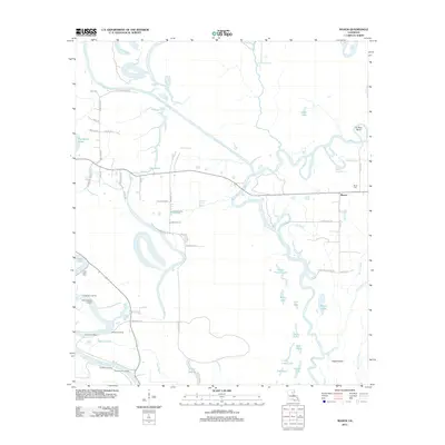 2012 Mason2012 Print · USGSFranklin Parish's riverine landscape is documented here in the early 2010s, showing a territory shaped by the Boeuf River and Ouachita River. Researchers can locate riverside points like Doctor Cole Landing and Fig Tree Landing, or trace family roots at Block Cem.
 - 2012 Map of Fort Necessity, 2012 Print
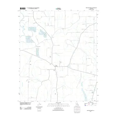 2012 Fort Necessity2012 Print · USGSFranklin Parish at the start of the twenty-first century reveals a deeply rooted landscape of small agricultural settlements and family cemeteries. Genealogists can trace local heritage through sites like Boeuf Prairie Cem, Buie, and the community of Fort Necessity.
 - 2012 Map of Lamar, 2012 Print
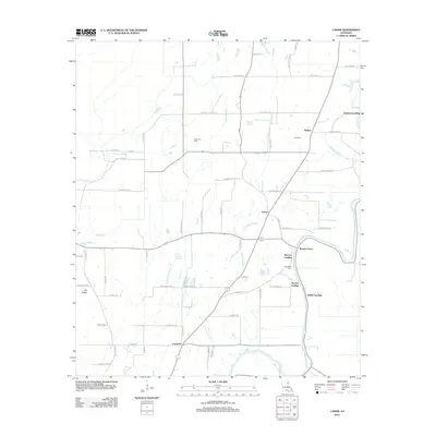 2012 Lamar2012 Print · USGSFranklin Parish in the early twenty-first century maintains its deep connection to the water and the oil industry. Researchers can trace historic river access at Warsaw Landing and Indian Landing or locate the Lamar Oil Field.
 - 2012 Map of Mangham, 2012 Print
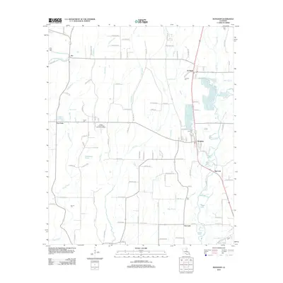 2012 Mangham2012 Print · USGSRichland Parish in the early 2010s remains a landscape of bayous and agricultural crossroads. Genealogists can trace family names through several rural burial sites, including Archibald Cem, Brunson Cem, and Gwin Memorial Cem near the town of Mangham.
 - 2012 Map of Liddieville, 2012 Print
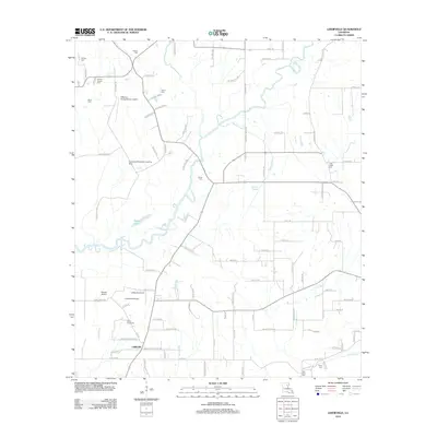 2012 Liddieville2012 Print · USGSFranklin Parish in the early 2010s reveals a rural landscape defined by family-named cemeteries and agricultural aviation. Genealogists and local historians can trace legacy sites like Simms Chapel Cem, Smith Cem, and the Goldmine Plantation Landing Strip.
 - 2012 Map of Indian Lake, 2012 Print
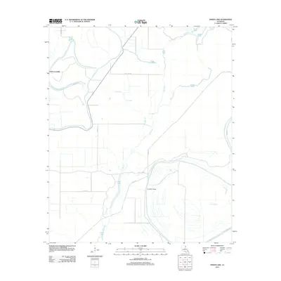 2012 Indian Lake2012 Print · USGSMadison Parish bottomlands are depicted in detail in the early 21st century, showing a landscape shaped by the Tensas River. Researchers can trace old river landings like Jackson Landing and Butler Landing or locate remote water bodies such as Africa Lake.
 - 2012 Map of Bee Bayou, 2012 Print
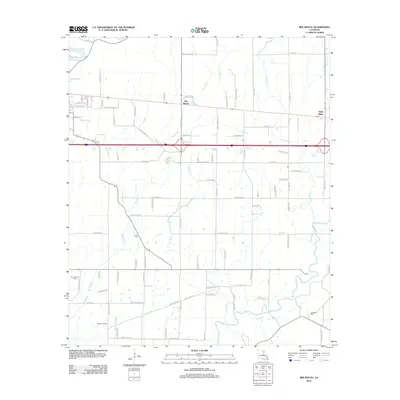 2012 Bee Bayou2012 Print · USGSNorthwestern Louisiana's wetlands and energy fields are documented here in the early twenty-first century. Researchers can trace rural infrastructure and family sites like Greer Cem, Sunflower Cem, and the industrial footprint of the Big Creek Gas Field.
 - 2012 Map of Como, 2012 Print
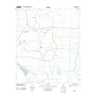 2012 Como2012 Print · USGSLouisiana's delta country is defined here by the winding Bayou Macon and its many historic river access points. Genealogists and local historians can trace the locations of State Place Cemetery, the settlement of Como, and several landings like Dickey Landing.
 - 2012 Map of Crowville, 2012 Print
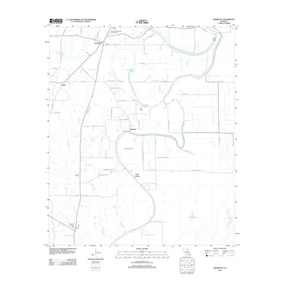 2012 Crowville2012 Print · USGSFranklin Parish is captured here in the early twenty-first century, a landscape shaped by the meanders of Bayou Macon. Genealogists and researchers can trace rural life through family-named landmarks and sites like Crowville Cem, Chelly Landing, and the Egypt Ferry Gas Field.
 - 2015 Map of Indian Lake, 2015 Print
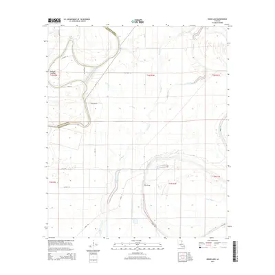 2015 Indian Lake2015 Print · USGSMadison and Franklin Parishes are captured here in the mid-2010s, showing a landscape shaped by the shifting waters of the Louisiana Delta. Genealogists and local historians can trace family-named sites and rural landmarks like Jackson Landing, Butler Landing, and the Low Water Bridge.
 - 2015 Map of Winnsboro, 2015 Print
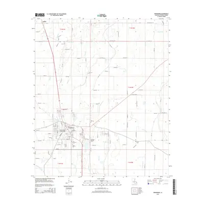 2015 Winnsboro2015 Print · USGSWinnsboro and the surrounding Franklin Parish countryside are documented here in the mid-2010s, showcasing the area's transition from town center to rural agricultural land. Genealogists and local historians can trace family locations near Myrtle Memorial Cemetery, Baskin, and True Light Cemetery.
Showing maps 1-25 of 115
Top cities of Franklin Parish
Frequently asked questions
- What are the different types of historical maps available for Franklin Parish?
- What is the oldest map of Franklin Parish?
- Where can I purchase historical maps of Franklin Parish for my home or office?
- Where can I download high-res historical maps of Franklin Parish?
- Are there historical topographic maps available for Franklin Parish?
- Is there historical aerial imagery available for Franklin Parish?
- Where are historical maps of Franklin Parish sourced from?