2000s (21st Century) Maps of Grant Parish, Louisiana
Explore 118 historic maps of Grant Parish from the 2000s (21st Century). These maps offer a rare glimpse into what life looked like during the 2000s — showing old roads, neighborhoods, homes, and landmarks that have changed or disappeared over time.
Whether you're researching your family's past, planning a metal detecting trip, or studying how Grant Parish's landscape evolved across the 2000s, these high-resolution maps are a powerful tool for exploring the history of this region.
- Focus on a specific era: All maps on this page are from the 2000s, giving you a focused view of this time period.
- See what’s changed: Compare century-old streets, trails, and buildings to today's modern landscape using overlays and satellite layers.
- Research with precision: Use these maps for genealogy, historical research, land use analysis, or educational projects.
- View, download, or print: Maps are fully viewable online in high resolution, and can be downloaded or printed for your own records.
Start exploring Grant Parish's history through authentic maps from the 2000s. This is your window into the past.
Grant Parish, LA maps
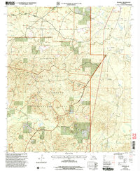
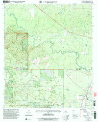
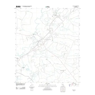
(118)- 2003 Map of Dry Prong, 2005 Print
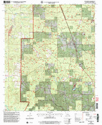 2003 Dry Prong2005 Print · USGSDry Prong and the central Louisiana woodlands are documented here just after the turn of the millennium. Researchers can trace local landmarks like Grant Parish High School, find family sites at Oak Grove, or locate early settlements such as Fairfield and Faircloth.
 - 2003 Map of Pollock, 2005 Print
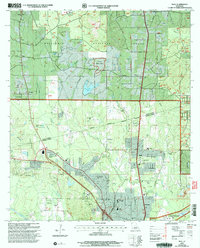
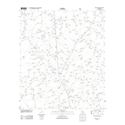
 2003 Pollock2005 Print · USGSGrant Parish at the turn of the millennium shows a landscape defined by federal timberlands and small-town junctions. Researchers can trace local landmarks like the Catahoula Ranger Station, Cem, and the distinct No Ground Penetration Area.
 - 2003 Map of Green Gables, 2005 Print
 2003 Green Gables2005 Print · USGSRapides and Grant Parish are captured here at the start of the 21st century, showing the intersection of military training grounds and national forest. Researchers can trace family history through sites like Pleasant Grove Cem and the settlement at Hickman.2 unique versions available
 - 2003 Map of Fishville, 2005 Print
 2003 Fishville2005 Print · USGSLouisiana's river-bottom timberlands and oxbow lakes come to life in this early 2000s study of the Grant and La Salle Parish border. Genealogists and researchers can trace local landmarks like White Sulphur Springs, the settlement of Fishville, and the many landings along the Little River.
 - 2003 Map of Savage Creek, 2005 Print
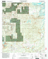
 2003 Savage Creek2005 Print · USGSLouisiana's northern timberlands and wetlands are captured here at the turn of the millennium. Local researchers can trace the shoreline of Lake Iatt, locate a quiet Cem near Blue Lick Creek, and explore the roads of the Kisatchie National Forest.
 - 2003 Map of Mudville, 2005 Print
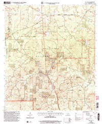
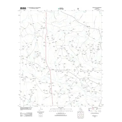
 2003 Mudville2005 Print · USGSCentral Louisiana at the start of the twenty-first century is defined by timber, oil, and military use. Researchers can locate small communities like Selma and Mudville alongside an active Oil Field and the Penetration Area.
 - 2003 Map of Ball, 2005 Print
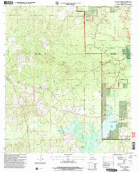
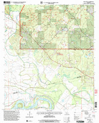
 2003 Ball2005 Print · USGSLouisiana's pine-forested parish line comes to life in this early 2000s survey of the growing corridor north of Alexandria. Researchers can trace the footprints of Camp Beauregard, locate Sardis Ch, or find historical cemetery sites like Venus Cem.
 - 2003 Map of Williana, 2005 Print
 2003 Williana2005 Print · USGSCentral Louisiana's pine woods and wildlife preserves are detailed in this 2003 revision of the area around the Winn Parish line. Genealogists can locate Liberty Chapel Cem and Liberty Chapel, while tracers of local terrain will find landmarks like Mosley Hill and Indian Bayou.
 - 2003 Map of Montgomery, 2005 Print
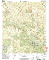
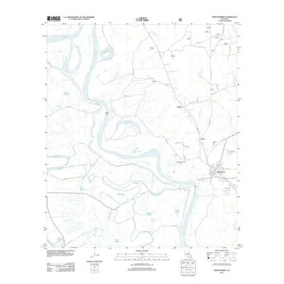
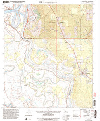 2003 Montgomery2005 Print · USGSThe Red River valley at the turn of the millennium reveals a landscape of deep bayous and pine forest near the Grant Parish line. Genealogists and local historians can trace rural landmarks like New Nazarene Ch, Turk Az Cem, and the old settlement of Crews.
 - 2003 Map of Georgetown, 2005 Print
 2003 Georgetown2005 Print · USGSGeorgetown and the surrounding pine forests of Central Louisiana are documented here at the turn of the twenty-first century. Researchers can trace rural cemeteries and watercourses like the Dugdemona River while exploring the limits of the Kisatchie National Forest.
 - 2003 Map of Cloutierville, 2005 Print
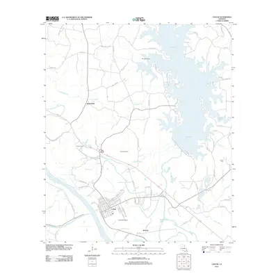
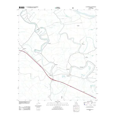
 2003 Cloutierville2005 Print · USGSNatchitoches Parish in the early 2000s remains a landscape defined by the winding Cane River Lake and its riverside communities. Researchers can trace historic settlements and local landmarks like Cloutierville, St Augustine Ch, and the Magnolia area.
 - 2003 Map of Rock Hill, 2005 Print
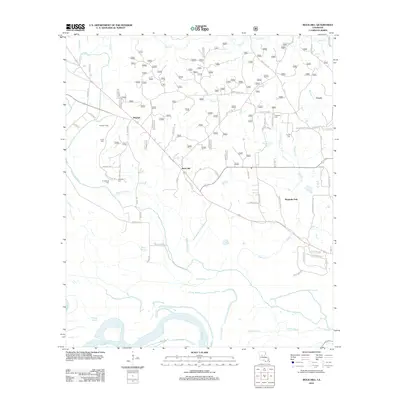
 2003 Rock Hill2005 Print · USGSThe Grant and Rapides Parish line comes alive in the early 2000s, where the Kisatchie National Forest meets the winding Red River. Local historians can trace established rural life through Union Cemetery and Bagdad.
 - 2003 Map of Packton, 2005 Print
 2003 Packton2005 Print · USGSIn the early 2000s, this area of central Louisiana remained a critical timber and wildlife corridor within the Kisatchie National Forest. Researchers can trace old family sites and rural junctions near Packton, Moore, and the winding Dugdemona River.
 - 2012 Map of Aloha, 2012 Print
 2012 Aloha2012 Print · USGSCovers Grant Parish, including Marco, Odra, and other nearby areas
 - 2012 Map of Packton, 2012 Print
 2012 Packton2012 Print · USGSCovers Grant Parish, including Moore, New Moore, and other nearby areas
 - 2012 Map of Colfax, 2012 Print
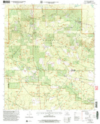
 2012 Colfax2012 Print · USGSCovers Grant Parish, including Colfax, The Rock, and other nearby areas
 - 2012 Map of Williana, 2012 Print
 2012 Williana2012 Print · USGSCovers Grant Parish, including Williana, Lutes, and other nearby areas
 - 2012 Map of Nebo, 2012 Print
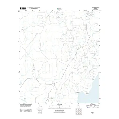 2012 Nebo2012 Print · USGSCovers Grant Parish, including Rogers, Magnolia, and other nearby areas
 - 2012 Map of Tullos, 2012 Print
 2012 Tullos2012 Print · USGSCovers Grant Parish, including Urania, Tullos, and other nearby areas
 - 2012 Map of Little Creek, 2012 Print
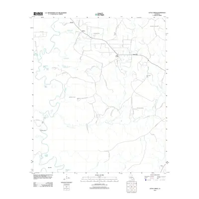 2012 Little Creek2012 Print · USGSCovers Grant Parish, including Ganeyville, Little Creek, and other nearby areas
 - 2012 Map of Boyce, 2012 Print
 2012 Boyce2012 Print · USGSCovers Grant Parish, including Boyce, Rodemacher, and other nearby areas
 - 2012 Map of Cloutierville, 2012 Print
 2012 Cloutierville2012 Print · USGSCovers Grant Parish, including Lakeview, Melrose, and other nearby areas
 - 2012 Map of Holloway, 2012 Print
 2012 Holloway2012 Print · USGSCovers Grant Parish, including Holloway, Deville, and other nearby areas
 - 2012 Map of Montgomery, 2012 Print
 2012 Montgomery2012 Print · USGSCovers Grant Parish, including Montgomery, Crews, and other nearby areas
 - 2012 Map of Rock Hill, 2012 Print
 2012 Rock Hill2012 Print · USGSCovers Grant Parish, including Rock Hill, Magnolia Park, and other nearby areas
Showing maps 1-25 of 118
Top cities of Grant Parish
- Colfax historical maps
- Montgomery historical maps
- Dry Prong historical maps
- Pollock historical maps
- Georgetown historical maps
Frequently asked questions
- What are the different types of historical maps available for Grant Parish?
- What is the oldest map of Grant Parish?
- Where can I purchase historical maps of Grant Parish for my home or office?
- Where can I download high-res historical maps of Grant Parish?
- Are there historical topographic maps available for Grant Parish?
- Is there historical aerial imagery available for Grant Parish?
- Where are historical maps of Grant Parish sourced from?