2020s Maps of Grant Parish, Louisiana
Explore 42 historic maps of Grant Parish from the 2020s. These maps offer a rare glimpse into what life looked like during the 2020s — showing old roads, neighborhoods, homes, and landmarks that have changed or disappeared over time.
Whether you're researching your family's past, planning a metal detecting trip, or studying how Grant Parish's landscape evolved across the 2020s, these high-resolution maps are a powerful tool for exploring the history of this region.
- Focus on a specific era: All maps on this page are from the 2020s, giving you a focused view of this time period.
- See what’s changed: Compare century-old streets, trails, and buildings to today's modern landscape using overlays and satellite layers.
- Research with precision: Use these maps for genealogy, historical research, land use analysis, or educational projects.
- View, download, or print: Maps are fully viewable online in high resolution, and can be downloaded or printed for your own records.
Start exploring Grant Parish's history through authentic maps from the 2020s. This is your window into the past.
Grant Parish, LA maps
(42)- 2020 Map of Little Creek, 2020 Print
 2020 Little Creek2020 Print · USGSCovers Grant Parish, including Ganeyville, Little Creek, and other nearby areas
 - 2020 Map of Packton, 2020 Print
 2020 Packton2020 Print · USGSCovers Grant Parish, including Moore, New Moore, and other nearby areas
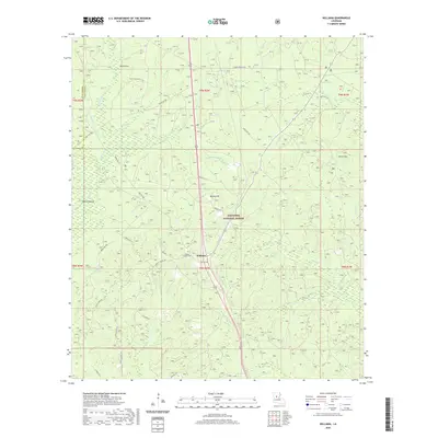
 - 2020 Map of Holloway, 2020 Print
 2020 Holloway2020 Print · USGSCovers Grant Parish, including Holloway, Deville, and other nearby areas
 - 2020 Map of Montgomery, 2020 Print
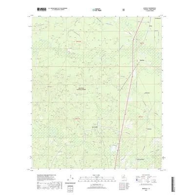
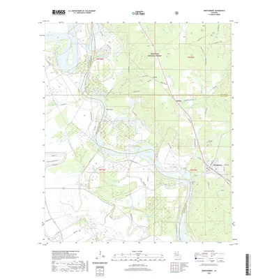 2020 Montgomery2020 Print · USGSCovers Grant Parish, including Montgomery, Crews, and other nearby areas
 - 2020 Map of Cloutierville, 2020 Print
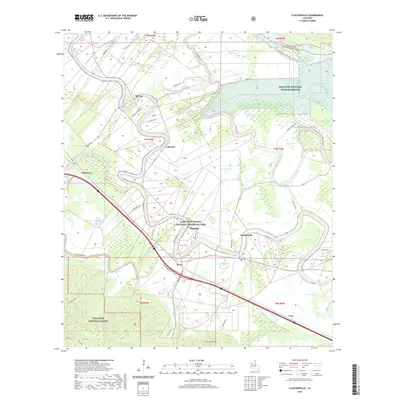 2020 Cloutierville2020 Print · USGSCovers Grant Parish, including Lakeview, Melrose, and other nearby areas
 - 2020 Map of Savage Creek, 2020 Print
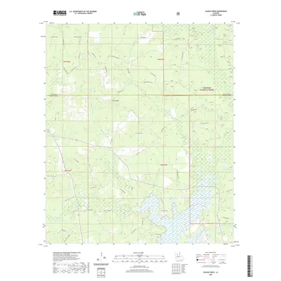 2020 Savage Creek2020 Print · USGSCovers Grant Parish, including Iatt, Winn Parish, and other nearby areas
 - 2020 Map of Colfax, 2020 Print
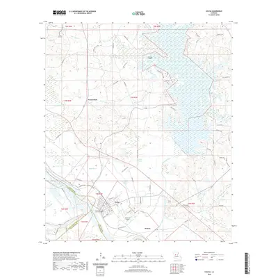 2020 Colfax2020 Print · USGSCovers Grant Parish, including Colfax, The Rock, and other nearby areas
 - 2020 Map of Dry Prong, 2020 Print
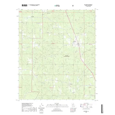 2020 Dry Prong2020 Print · USGSCovers Grant Parish, including Dry Prong, Faircloth, and other nearby areas
 - 2020 Map of Mudville, 2020 Print
 2020 Mudville2020 Print · USGSCovers Grant Parish, including Georgetown, Lincecum, and other nearby areas
 - 2020 Map of Georgetown, 2020 Print
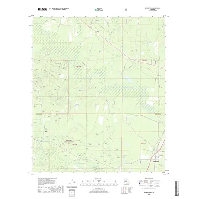 2020 Georgetown2020 Print · USGSCovers Grant Parish, including Georgetown, Curry, and other nearby areas
 - 2020 Map of Pollock, 2020 Print
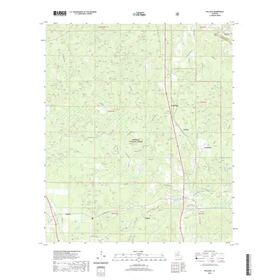 2020 Pollock2020 Print · USGSCovers Grant Parish, including Pollock, Farmland, and other nearby areas
 - 2020 Map of Verda, 2020 Print
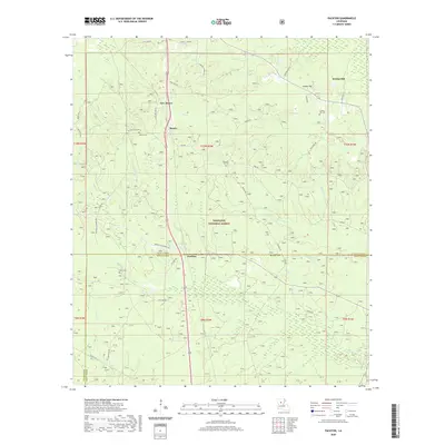
 2020 Verda2020 Print · USGSCovers Grant Parish, including Montgomery, Mars Hill, and other nearby areas
 - 2020 Map of Fishville, 2020 Print
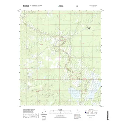 2020 Fishville2020 Print · USGSCovers Grant Parish, including Fishville, White Sulphur Springs, and other nearby areas
 - 2020 Map of Williana, 2020 Print
 2020 Williana2020 Print · USGSCovers Grant Parish, including Williana, Lutes, and other nearby areas
 - 2020 Map of Aloha, 2020 Print
 2020 Aloha2020 Print · USGSCovers Grant Parish, including Marco, Odra, and other nearby areas
 - 2020 Map of Nebo, 2020 Print
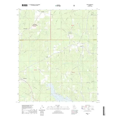
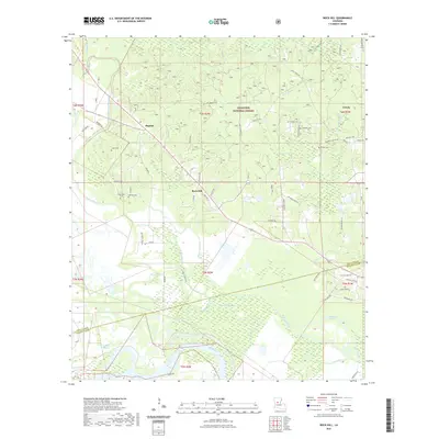
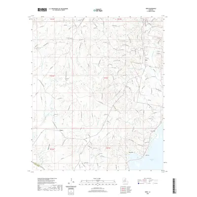 2020 Nebo2020 Print · USGSCovers Grant Parish, including Rogers, Magnolia, and other nearby areas
 - 2020 Map of Green Gables, 2020 Print
 2020 Green Gables2020 Print · USGSCovers Grant Parish, including Pineville, Ball, and other nearby areas
 - 2020 Map of Ball, 2020 Print
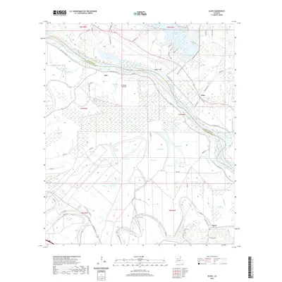
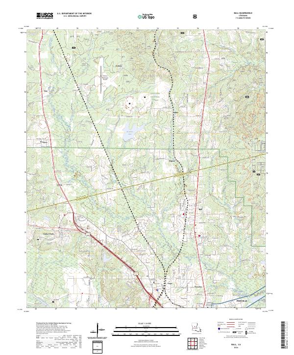
 2020 Ball2020 Print · USGSCovers Grant Parish, including Pineville, Ball, and other nearby areas
 - 2020 Map of Tullos, 2020 Print
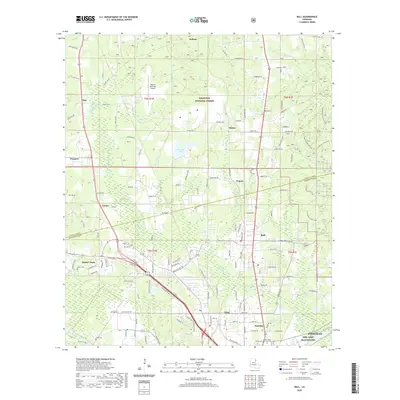
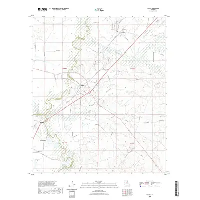 2020 Tullos2020 Print · USGSCovers Grant Parish, including Urania, Tullos, and other nearby areas
 - 2021 Map of Boyce, 2021 Print
 2021 Boyce2021 Print · USGSCovers Grant Parish, including Boyce, Rodemacher, and other nearby areas
 - 2021 Map of Rock Hill, 2021 Print
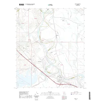
 2021 Rock Hill2021 Print · USGSCovers Grant Parish, including Rock Hill, Magnolia Park, and other nearby areas
 - 2024 Map of Ball, 2024 Print
 2024 Ball2024 Print · USGSThe border of Grant and Rapides Parishes comes into focus here, showing the growth of Ball and Pineville. Genealogists can trace family sites at Tioga Cem or follow the water along Flagon Bayou and Bayou Rigolette.
 - 2024 Map of Green Gables, 2024 Print
 2024 Green Gables2024 Print · USGSPine forests and military reservations dominate this Rapides and Grant Parish landscape in the 2020s. Researchers can locate the grounds of NG Camp Beauregard, the Esler Regional Airport, and quiet rural landmarks like Clear Creek Cem.
 - 2024 Map of Georgetown, 2024 Print
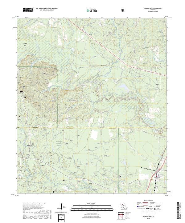 2024 Georgetown2024 Print · USGSIn the central Louisiana timberlands, this modern survey tracks the rural development along the Dugdemona River at the junction of Winn and Grant Parishes. Genealogists can locate family landmarks at Maxwells Old Ferry, Jordan Hill, and the Georgetown Cem.
 - 2024 Map of Packton, 2024 Print
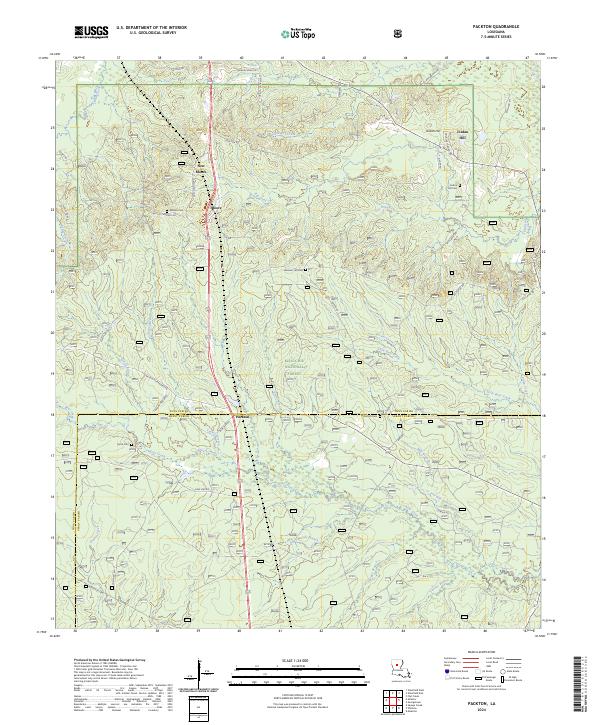 2024 Packton2024 Print · USGSThe border of Winn and Grant Parishes comes into focus here within the pine-covered reaches of the Kisatchie National Forest. Researchers can trace old family names and rural settlements through landmarks like Packton, Melton Cem, and Jordan Hill.
Showing maps 1-25 of 42
Top cities of Grant Parish
- Colfax historical maps
- Montgomery historical maps
- Dry Prong historical maps
- Pollock historical maps
- Georgetown historical maps
Frequently asked questions
- What are the different types of historical maps available for Grant Parish?
- What is the oldest map of Grant Parish?
- Where can I purchase historical maps of Grant Parish for my home or office?
- Where can I download high-res historical maps of Grant Parish?
- Are there historical topographic maps available for Grant Parish?
- Is there historical aerial imagery available for Grant Parish?
- Where are historical maps of Grant Parish sourced from?