2010s Maps of Grant Parish, Louisiana
Explore 63 historic maps of Grant Parish from the 2010s. These maps offer a rare glimpse into what life looked like during the 2010s — showing old roads, neighborhoods, homes, and landmarks that have changed or disappeared over time.
Whether you're researching your family's past, planning a metal detecting trip, or studying how Grant Parish's landscape evolved across the 2010s, these high-resolution maps are a powerful tool for exploring the history of this region.
- Focus on a specific era: All maps on this page are from the 2010s, giving you a focused view of this time period.
- See what’s changed: Compare century-old streets, trails, and buildings to today's modern landscape using overlays and satellite layers.
- Research with precision: Use these maps for genealogy, historical research, land use analysis, or educational projects.
- View, download, or print: Maps are fully viewable online in high resolution, and can be downloaded or printed for your own records.
Start exploring Grant Parish's history through authentic maps from the 2010s. This is your window into the past.
Grant Parish, LA maps
(63)- 2012 Map of Aloha, 2012 Print
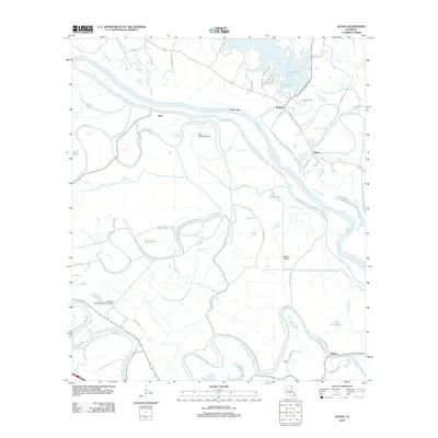 2012 Aloha2012 Print · USGSNatchitoches Parish comes into focus during the early twenty-first century as it manages the shifting waters of the Red River valley. Researchers can trace historic land use through the Little Eva Plantation Landing Strip, Marco Cem, and the Aloha Oil Field.
 - 2012 Map of Packton, 2012 Print
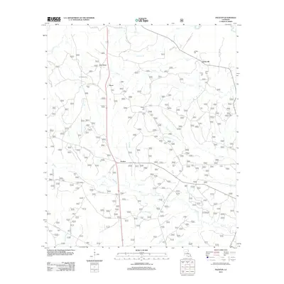 2012 Packton2012 Print · USGSWinn Parish remains a land of quiet timber settlements and family-named homesteads in the early twenty-first century. Genealogists and local historians can trace legacy sites like Melton Cem, the Latt Lookout Tower, and the small community of Packton.
 - 2012 Map of Colfax, 2012 Print
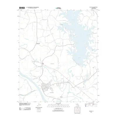 2012 Colfax2012 Print · USGSGrant Parish and the town of Colfax are captured here in the early twenty-first century, showing a landscape defined by the Red River and Lake Iatt. Researchers can trace the layout of the Colfax Oil Field or locate local landmarks like the Corbett Cem and The Rock.
 - 2012 Map of Williana, 2012 Print
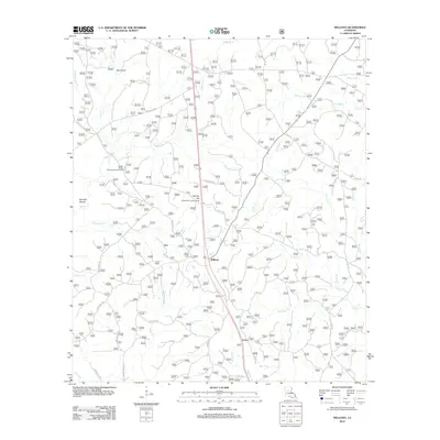 2012 Williana2012 Print · USGSWilliana and the surrounding Grant Parish woodlands are documented here during the early twenty-first century. Local researchers can trace family landmarks and historical sites like the Liberty Chapel Cem, Spanish Mound, and Mosley Hill Lookout Tower.
 - 2012 Map of Nebo, 2012 Print
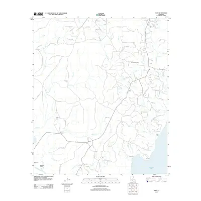 2012 Nebo2012 Print · USGSLaSalle Parish and the shores of Catahoula Lake are documented in the early twenty-first century, showing a landscape defined by oil production and rural bayous. Researchers can find numerous burial sites like Coon Cem and Whatley Cem, and trace the industrial footprint of the Rogers Oil Field.
 - 2012 Map of Tullos, 2012 Print
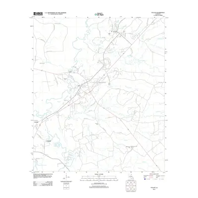 2012 Tullos2012 Print · USGSLaSalle Parish at the start of the 2010s shows a landscape defined by the Tullos Urania Oil Field and river bottomlands. Researchers can trace family sites at Pendarvis Cem or locate landmarks like the Bay Springs Lookout Tower.
 - 2012 Map of Little Creek, 2012 Print
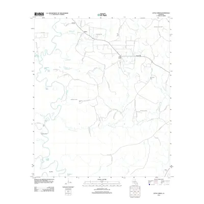 2012 Little Creek2012 Print · USGSLaSalle Parish at the start of the 2010s shows a landscape shaped by both the winding path of the Little River and a robust energy industry. Researchers can trace local lineage and land use through sites like Chalk Hill Cem, Little Creek, and the West Searcy Oil Field.
 - 2012 Map of Boyce, 2012 Print
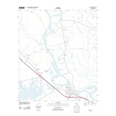 2012 Boyce2012 Print · USGSBoyce and the Red River floodplain are captured in the early twenty-first century as they balance old river settlements with modern infrastructure. Genealogists and local historians can trace family locations near Saint Aloysius Cem, the Mill Pond at Zimmerman, and the community of Ravencamp.
 - 2012 Map of Cloutierville, 2012 Print
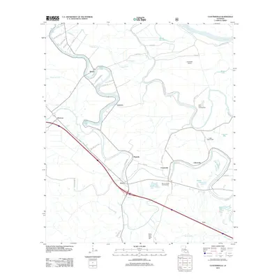 2012 Cloutierville2012 Print · USGSNatchitoches Parish comes into focus during the early twenty-first century as a landscape defined by the winding Cane River Lake. Researchers can trace the layout of historic communities like Melrose, Magnolia, and Cloutierville along with landmarks like Sang Pour Sang Hill.
 - 2012 Map of Holloway, 2012 Print
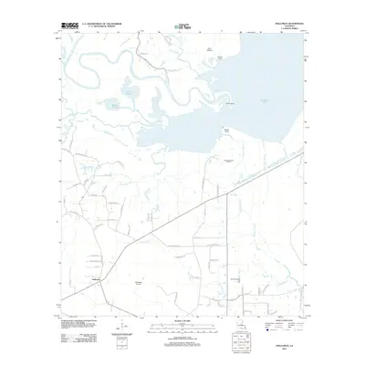 2012 Holloway2012 Print · USGSRapides Parish in the early 2010s reveals a landscape where central Louisiana's watery bayous meet family-named country roads. Genealogists and local historians can trace legacy tracts near Holloway and Holloway Prairie, or locate industrial sites like the South Catahoula Oil Field.
 - 2012 Map of Montgomery, 2012 Print
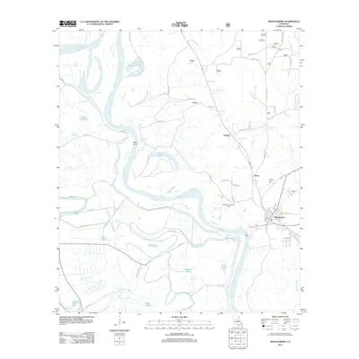 2012 Montgomery2012 Print · USGSThe Red River valley in Grant Parish was a landscape defined by its waterways and small riverfront communities in the early 2010s. Researchers can trace family history at Pleasant Hill Hill Cem or explore the geography of Montgomery, Boley, and Petite Ecore.
 - 2012 Map of Rock Hill, 2012 Print
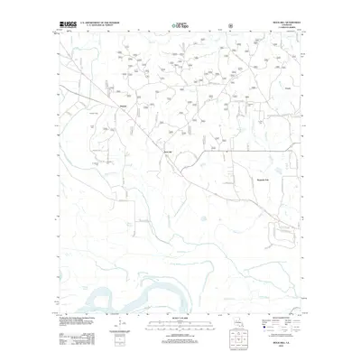 2012 Rock Hill2012 Print · USGSThe riverbottoms and bayous north of the Red River are captured here in the early twenty-first century. Researchers can trace family history through several local burial sites like Cruikshank Cem and Anthony Cem or explore the settlements of Bagdad and Rock Hill.
 - 2012 Map of Dry Prong, 2012 Print
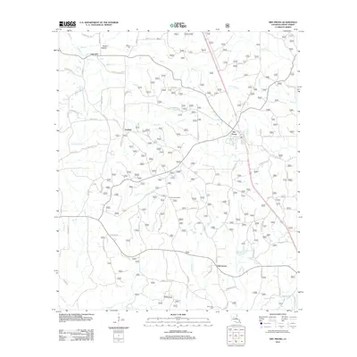 2012 Dry Prong2012 Print · USGSGrant Parish settlement is captured here in the early twenty-first century, showing the rural networks around the village of Dry Prong. Genealogists and researchers can trace local landmarks like Colfax Lookout Tower, Midway Cem, and the old Faircloth area.
 - 2012 Map of Ball, 2012 Print
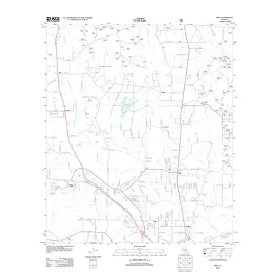 2012 Ball2012 Print · USGSRapides Parish at the start of the decade reveals a growing suburban network north of the Red River. Genealogists and local historians can trace the roads connecting Ball, Tioga, and Paradise, while locating landmarks like Venus Cem and Kisatchie Lake.
 - 2012 Map of Pollock, 2012 Print
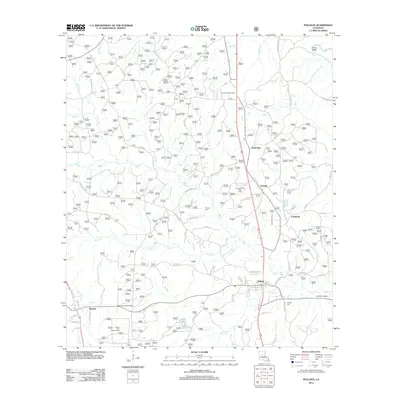 2012 Pollock2012 Print · USGSNorth Louisiana's timber and creek lands are surveyed here during the early twenty-first century. Family researchers can locate Pollock Cem and Guynes Cemetery, or trace rural communities like Antonia and Bentley near Stuart Lake.
 - 2012 Map of Georgetown, 2012 Print
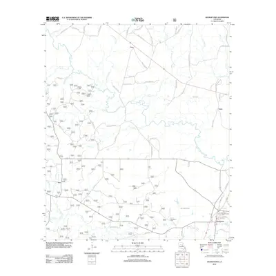 2012 Georgetown2012 Print · USGSGrant Parish industry and community intersect in the early twenty-first century along the banks of the Dugdemona River. Local researchers can trace family landmarks and oil production sites like Georgetown Cem, the Salt Oil Field, and Beulah Church.
 - 2012 Map of Fishville, 2012 Print
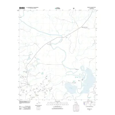 2012 Fishville2012 Print · USGSGrant Parish at the start of the 2010s reveals a landscape defined by the winding Little River and its intricate bayous. Researchers can trace local heritage at Whatley Cem, locate the grounds of Camp Mary Lee, or explore the riparian geography of Hardwater Lake.
 - 2012 Map of Savage Creek, 2012 Print
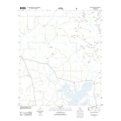 2012 Savage Creek2012 Print · USGSGrant Parish in the early twenty-first century remains a landscape of bayous and oil extraction bordering the expansive Lake Iatt. Researchers can trace old family roads and burial sites like French Cemetery or locate landmarks such as the Verda Lookout Tower.
 - 2012 Map of Green Gables, 2012 Print
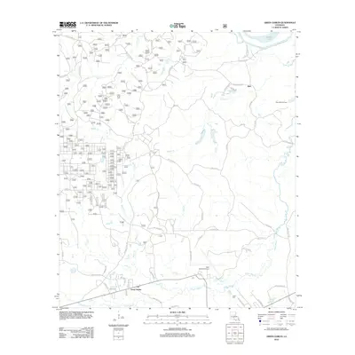 2012 Green Gables2012 Print · USGSCentral Louisiana's piney woods and bayous are documented here in the early twenty-first century. Genealogists and local historians can trace family markers at Clear Creek Cem and Lofton Cem or explore the area near Esler Regional Airport.
 - 2012 Map of Verda, 2012 Print
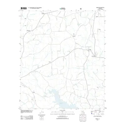 2012 Verda2012 Print · USGSGrant Parish settlement and drainage patterns are on full display in the early twenty-first century as the region surrounds the waters of Nantachie Lake. Researchers can trace rural lineages through local landmarks like Six Bits Cem, Mars Hill, and the dual communities of Verda and New Verda.
 - 2012 Map of Mudville, 2012 Print
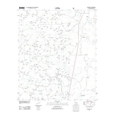 2012 Mudville2012 Print · USGSThe Grant Parish landscape in the early 21st century remains defined by timber, oil extraction, and rural crossroads. Researchers can trace family history at Pine Knot Cem or explore the area around Selma Oil Field and the settlement of Mudville.
 - 2015 Map of Packton, 2015 Print
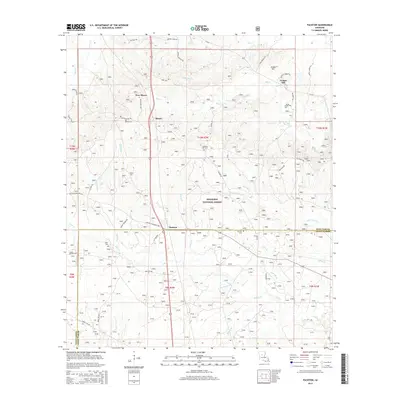 2015 Packton2015 Print · USGSExplore the pine forests of the Winn and Grant Parish line in the mid-2010s, where small timber settlements and family homesteads define the rural landscape. Genealogists can trace local roots through several community sites like Melton Cem, Jordan Hill, and the settlement of Packton.
 - 2015 Map of Dry Prong, 2015 Print
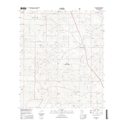 2015 Dry Prong2015 Print · USGSGrant Parish in the mid-2010s shows a landscape deeply integrated with the Kisatchie National Forest and its winding creek systems. Researchers can trace local lineage and land use through landmarks like Midway Cem, the settlement of Fairfield, and the waters of Lake Iatt.
 - 2015 Map of Ball, 2015 Print
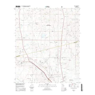 2015 Ball2015 Print · USGSThe border of Grant and Rapides Parishes is captured here in the mid-2010s as suburban growth met the edge of the woods. Researchers can trace the development of Ball and Tioga or locate smaller locales like Stay, Creola, and Venus Cem.
 - 2015 Map of Rock Hill, 2015 Print
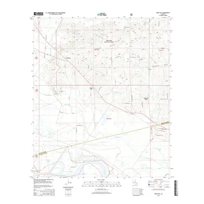 2015 Rock Hill2015 Print · USGSGrant and Rapides Parish sit at the edge of the forest and the river in this recent survey. Local historians can trace family roots through Union Cem, Anthony Cem, and Frazier Cem, or locate homesteads near Bagdad and Rock Hill.
Showing maps 1-25 of 63
Top cities of Grant Parish
- Colfax historical maps
- Montgomery historical maps
- Dry Prong historical maps
- Pollock historical maps
- Georgetown historical maps
Frequently asked questions
- What are the different types of historical maps available for Grant Parish?
- What is the oldest map of Grant Parish?
- Where can I purchase historical maps of Grant Parish for my home or office?
- Where can I download high-res historical maps of Grant Parish?
- Are there historical topographic maps available for Grant Parish?
- Is there historical aerial imagery available for Grant Parish?
- Where are historical maps of Grant Parish sourced from?