2020s Maps of Jefferson Parish, Louisiana
Explore 49 historic maps of Jefferson Parish from the 2020s. These maps offer a rare glimpse into what life looked like during the 2020s — showing old roads, neighborhoods, homes, and landmarks that have changed or disappeared over time.
Whether you're researching your family's past, planning a metal detecting trip, or studying how Jefferson Parish's landscape evolved across the 2020s, these high-resolution maps are a powerful tool for exploring the history of this region.
- Focus on a specific era: All maps on this page are from the 2020s, giving you a focused view of this time period.
- See what’s changed: Compare century-old streets, trails, and buildings to today's modern landscape using overlays and satellite layers.
- Research with precision: Use these maps for genealogy, historical research, land use analysis, or educational projects.
- View, download, or print: Maps are fully viewable online in high resolution, and can be downloaded or printed for your own records.
Start exploring Jefferson Parish's history through authentic maps from the 2020s. This is your window into the past.
Jefferson Parish, LA maps
(49)- 2020 Map of Bonnett Carre NE, 2020 Print
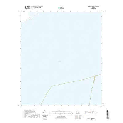 2020 Bonnett Carre NE2020 Print · USGSLake Pontchartrain defines the landscape in this contemporary survey of the water-bound intersections of southeastern Louisiana. Historians and researchers can trace the precise parish lines of St. Charles Parish, St. John the Baptist Parish, and Jefferson Parish across the open water.
 - 2020 Map of Indian Beach, 2020 Print
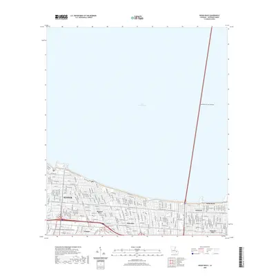 2020 Indian Beach2020 Print · USGSJefferson Parish at the start of the 2020s shows a landscape defined by its relationship with the water and the sky. Genealogists and local researchers can trace neighborhood street grids through Kenner and Bucktown or locate landmarks like the Louis Armstrong New Orleans International Airport.
 - 2020 Map of Lake Laurier, 2020 Print
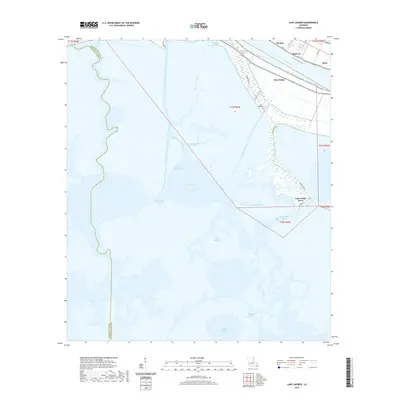 2020 Lake Laurier2020 Print · USGSCoastal Plaquemines Parish and the lower Mississippi River are mapped here in the modern era, showing the transition from riverfront settlements to tidal marsh. Genealogists and historians can trace family-named sites like Lake Judge Perez, Deer Range Cem, and the river communities of Bellevue and Harlem.
 - 2020 Map of Spanish Fort NE OE W, 2020 Print
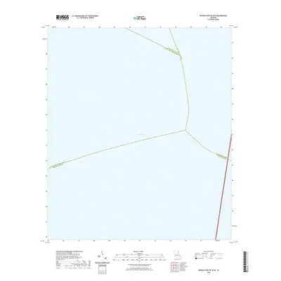 2020 Spanish Fort NE OE W2020 Print · USGSThe open waters of Lake Pontchartrain take center stage in this modern survey of Louisiana's coastal parishes. Geographers and local historians can trace the exact intersection of Jefferson Parish, St. Tammany Parish, and Tangipahoa Parish.
 - 2020 Map of Bay Dosgris, 2020 Print
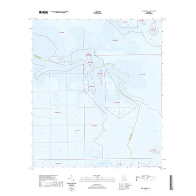 2020 Bay Dosgris2020 Print · USGSCoastal Jefferson Parish in 2020 is a labyrinth of marsh and waterway along the Barataria Basin. Family historians and researchers can trace local landmarks like Alombro Cem and navigate the intricate reaches of Manila Bayou and Old Grand Bayou.
 - 2020 Map of Grand Isle, 2020 Print
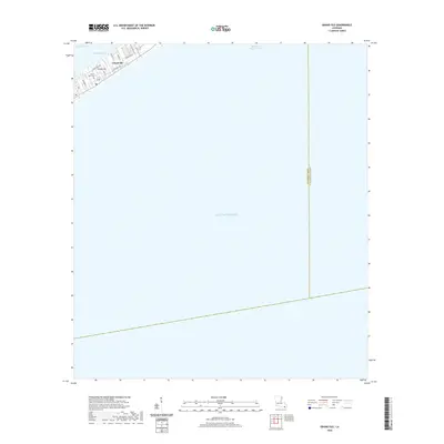 2020 Grand Isle2020 Print · USGSGrand Isle at the edge of the Jefferson Parish coast is captured here just as the new decade began. Researchers can trace the town's street layout from Niccarri Ln to the PO or locate family sites at the Grand Isle Cem.
 - 2020 Map of La Branche, 2020 Print
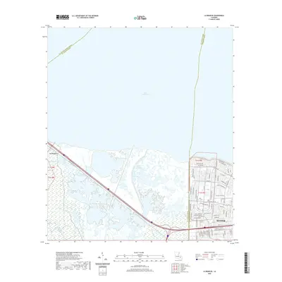 2020 La Branche2020 Print · USGSThe southern shoreline of Lake Pontchartrain meets the suburban grid of Kenner in this modern survey of the Louisiana wetlands. Researchers can trace the intersection of coastal bayous like Bayou La Branche with managed infrastructure like the Lower Guide Levee Rd.
 - 2020 Map of Barataria Pass, 2020 Print
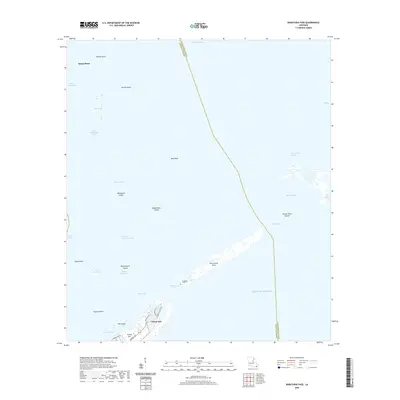 2020 Barataria Pass2020 Print · USGSCoastal Jefferson Parish in the early 2020s shows the delicate balance between island habitation and the Gulf of Mexico. Genealogists and historians can trace the street layouts of Grand Isle and explore named landforms like Isle Grande Terre, Bassa Bassa, and Bird Reef.
 - 2020 Map of Lake Cataouatche East, 2020 Print
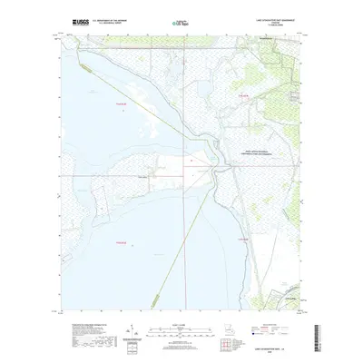 2020 Lake Cataouatche East2020 Print · USGSThe Louisiana delta wetlands of Jefferson Parish are captured in the 2020s, revealing a landscape defined by the intersection of protected wilderness and industrial waterways. Historians can trace the proximity of Jean Lafitte to the Intracoastal Waterway or follow the Marsh Overlook Trail through the Jean Lafitte National Historical Park and Preserve.
 - 2020 Map of New Orleans West, 2020 Print
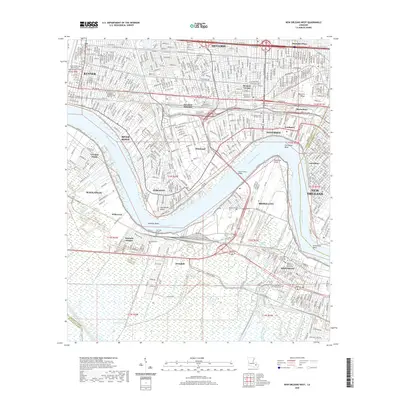 2020 New Orleans West2020 Print · USGSThe suburban parishes west of New Orleans are seen here in the contemporary era, defined by the winding Mississippi and its vital crossings. Researchers can trace family sites near Garden of Memories Cem, Shrewsbury, and Bonnabel Place.
 - 2020 Map of Bay Tambour, 2020 Print
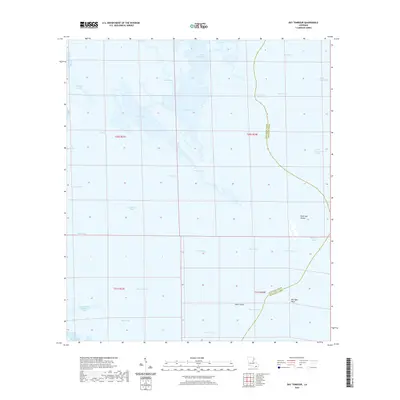 2020 Bay Tambour2020 Print · USGSThe Louisiana coast at the start of the 2020s reveals a labyrinth of bayous and salt marshes along the parish line. Researchers can trace intricate waterways like Bayou Casse-Tete and landmarks such as Andre Island and Point Des Ilettes.
 - 2020 Map of Luling, 2020 Print
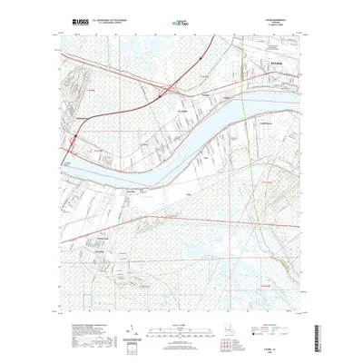 2020 Luling2020 Print · USGSCoastal Louisiana settlement and infrastructure meet along the river in the twenty-first century, spanning the border of St. Charles and Jefferson Parishes. Local historians can trace family sites at Jefferson Memorial Gardens Cem and Saint Charles Cem, or locate the historic Davis Crevasse near Lone Star.
 - 2020 Map of Lafitte, 2020 Print
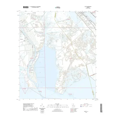 2020 Lafitte2020 Print · USGSCoastal Jefferson Parish settlements and the Mississippi River's bend are documented in this recent survey. Researchers can trace family history through numerous small burial sites like Little Village Cem and the riverfront communities of Jesuits Bend and Ollie.
 - 2020 Map of Wilkinson Bay, 2020 Print
 2020 Wilkinson Bay2020 Print · USGSCoastal Louisiana at the start of the 2020s is defined here by the meeting of the Barataria Bay Waterway and the open gulf. Researchers can trace the maritime geography of the parish line near Manilla and across the waters of Wilkinson Bay.
 - 2020 Map of Caminada Pass, 2020 Print
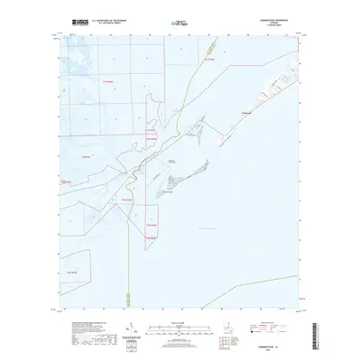 2020 Caminada Pass2020 Print · USGSGrand Isle and the surrounding Louisiana wetlands are captured here in the contemporary era. Researchers can trace coastal changes and local landmarks including Cheniere Caminada Cemetery, Elmers Island, and Bayou Thunder Von Tranc.
 - 2020 Map of Golden Meadow Farms, 2020 Print
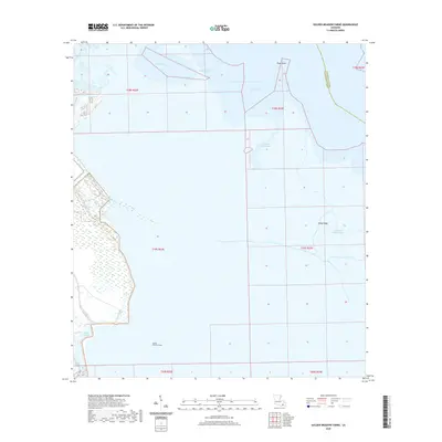 2020 Golden Meadow Farms2020 Print · USGSJefferson Parish is seen at its coastal edge in the 2020s, where marshlands meet the Gulf. Trace the winding paths of John the Fool Bayou and Mink Bayou or locate landmarks like Kings Ridge and Plum Point.
 - 2020 Map of Three Bayou Bay, 2020 Print
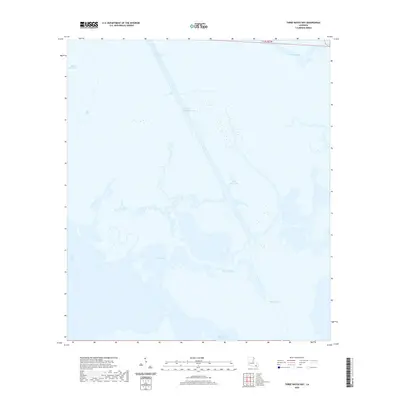 2020 Three Bayou Bay2020 Print · USGSCoastal Jefferson Parish in the early 2020s is defined by its intricate network of marshland passages and engineered channels. Trace the intersection of natural waterways like Bayou Cutler and Three Bayou Bay with the prominent Barataria Bay Waterway.
 - 2020 Map of Bertrandville, 2020 Print
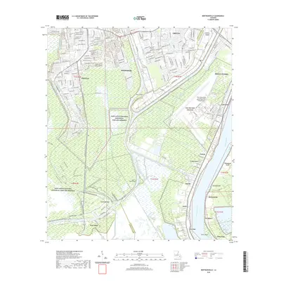 2020 Bertrandville2020 Print · USGSJefferson Parish and Plaquemines Parish meet in this 2020 map of the West Bank's wetlands and riverfront communities. Genealogists and local historians can trace the geography of old river settlements like Bertrandville, Jesuits Bend, and Augusta along the Mississippi River.
 - 2020 Map of Spanish Fort, 2020 Print
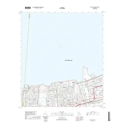 2020 Spanish Fort2020 Print · USGSThe New Orleans lakefront appears in high detail during the modern era, showing the intersection of coastal engineering and urban life. Researchers can trace the layout of historic districts like Milneburg and Spanish Fort or locate the grounds of Southern University at New Orleans.
 - 2020 Map of Bay L'Ours, 2020 Print
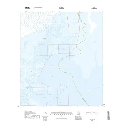 2020 Bay L'Ours2020 Print · USGSCoastal Jefferson and Lafourche Parishes are documented here in a detailed survey of their shifting marshland and essential waterways. Researchers can trace the intersection of coastal trade and natural hydrology through the Harvey Cutoff, Bay L'Ours, and Bayou Perot.
 - 2020 Map of Barataria, 2020 Print
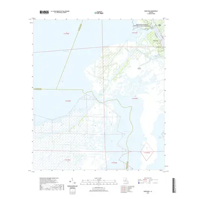 2020 Barataria2020 Print · USGSThe Jefferson Parish wetlands are captured here at the start of the 2020s, showing the intersection of bayou settlements and conservation lands. Genealogists can locate family sites at Fleming Cem or Saint Anthony Cem and trace the waterways of Barataria and Isle Bonne.
 - 2020 Map of New Orleans East, 2020 Print
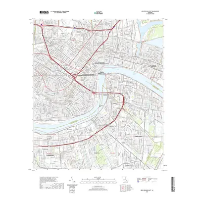 2020 New Orleans East2020 Print · USGSNew Orleans and its West Bank communities are captured in this recent survey during a period of modern urban density. Researchers can trace historic burial sites like Metairie Cem and Lafayette Cem Number 1 or locate the NG Jackson Barracks.
 - 2020 Map of Spanish Fort NE, 2020 Print
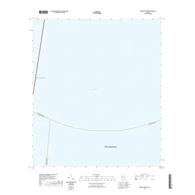 2020 Spanish Fort NE2020 Print · USGSThe waters north of the city take center stage in the twenty-first century, showing where the urban reach of New Orleans meets the lake. Researchers can trace the massive Lake Pontchartrain Causeway and parish lines over Lake Pontchartrain.
 - 2024 Map of Bay L'Ours, 2024 Print
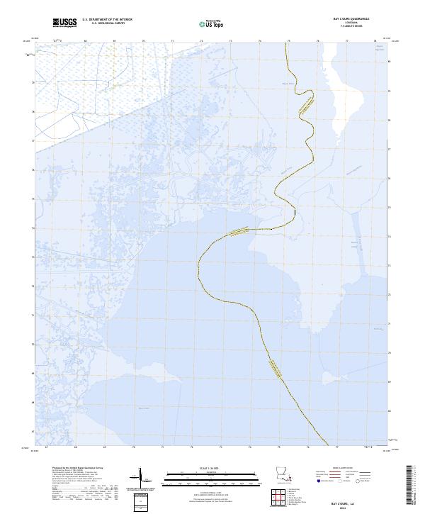 2024 Bay L'Ours2024 Print · USGSCoastal Louisiana marshes come into sharp focus in this recent survey of the wetland boundaries between Lafourche and Jefferson Parishes. Trace the waterways that define this landscape, from the wide expanse of Bay L'Ours to the winding reaches of Bayou Perot and Turtle Bay.
 - 2024 Map of Grand Isle, 2024 Print
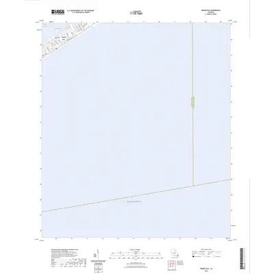 2024 Grand Isle2024 Print · USGSGrand Isle stands as a resilient coastal outpost in the early 2020s, showing the intersection of residential life and the Gulf's edge. Genealogists and local historians can trace the street-level geography of the town, from the Grand Isle Cem to the docks along Bayou Rigaud.
Showing maps 1-25 of 49
Top cities of Jefferson Parish
- Metairie historical maps
- Kenner historical maps
- Gretna historical maps
- Waggaman historical maps
- Westwego historical maps
- Harahan historical maps
See more
Frequently asked questions
- What are the different types of historical maps available for Jefferson Parish?
- What is the oldest map of Jefferson Parish?
- Where can I purchase historical maps of Jefferson Parish for my home or office?
- Where can I download high-res historical maps of Jefferson Parish?
- Are there historical topographic maps available for Jefferson Parish?
- Is there historical aerial imagery available for Jefferson Parish?
- Where are historical maps of Jefferson Parish sourced from?