2020s Maps of Lafourche Parish, Louisiana
Explore 86 historic maps of Lafourche Parish from the 2020s. These maps offer a rare glimpse into what life looked like during the 2020s — showing old roads, neighborhoods, homes, and landmarks that have changed or disappeared over time.
Whether you're researching your family's past, planning a metal detecting trip, or studying how Lafourche Parish's landscape evolved across the 2020s, these high-resolution maps are a powerful tool for exploring the history of this region.
- Focus on a specific era: All maps on this page are from the 2020s, giving you a focused view of this time period.
- See what’s changed: Compare century-old streets, trails, and buildings to today's modern landscape using overlays and satellite layers.
- Research with precision: Use these maps for genealogy, historical research, land use analysis, or educational projects.
- View, download, or print: Maps are fully viewable online in high resolution, and can be downloaded or printed for your own records.
Start exploring Lafourche Parish's history through authentic maps from the 2020s. This is your window into the past.
Lafourche Parish, LA maps
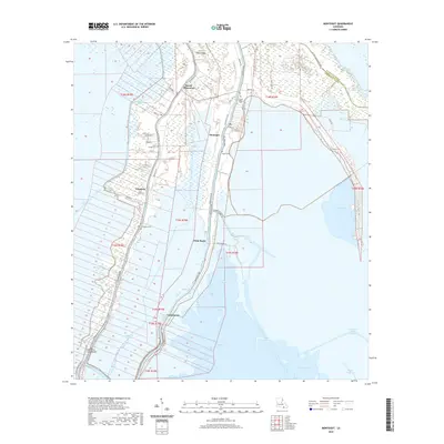
(86)- 2020 Map of Thibodaux, 2020 Print
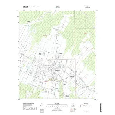 2020 Thibodaux2020 Print · USGSCovers Lafourche Parish, including Thibodaux, Johnson Ridge, and other nearby areas
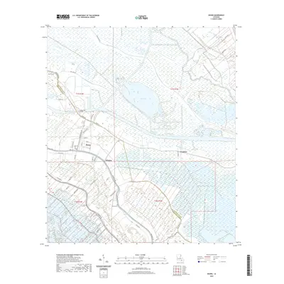
 - 2020 Map of Gray, 2020 Print
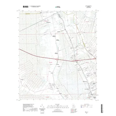 2020 Gray2020 Print · USGSCovers Lafourche Parish, including Ardoyne, Ellsworth, and other nearby areas
 - 2020 Map of Calumet Island, 2020 Print
 2020 Calumet Island2020 Print · USGSCovers Lafourche Parish, including United States, Louisiana, and other nearby areas
 - 2020 Map of Bay Dosgris, 2020 Print
 2020 Bay Dosgris2020 Print · USGSCovers Lafourche Parish, including Jefferson Parish, United States, and other nearby areas
 - 2020 Map of Houma, 2020 Print
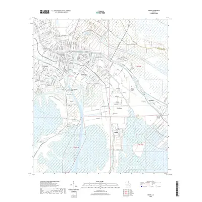 2020 Houma2020 Print · USGSCovers Lafourche Parish, including Houma, Argyle, and other nearby areas
 - 2020 Map of Lake Cataouatche West, 2020 Print
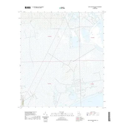 2020 Lake Cataouatche West2020 Print · USGSCovers Lafourche Parish, including St. Charles Parish, United States, and other nearby areas
 - 2020 Map of Belle Pass, 2020 Print
 2020 Belle Pass2020 Print · USGSCovers Lafourche Parish, including United States, Louisiana, and other nearby areas
 - 2020 Map of Barataria Pass, 2020 Print
 2020 Barataria Pass2020 Print · USGSCovers Lafourche Parish, including Grand Isle, Bassa Bassa, and other nearby areas
 - 2020 Map of Golden Meadow, 2020 Print
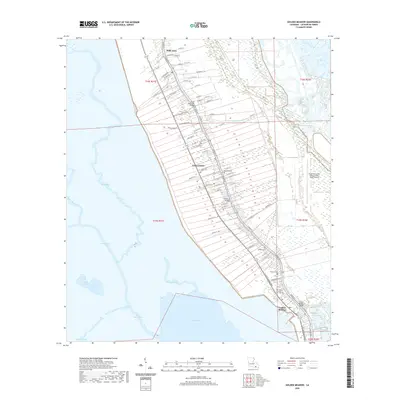 2020 Golden Meadow2020 Print · USGSCovers Lafourche Parish, including Golden Meadow, Galliano, and other nearby areas
 - 2020 Map of Lake Bully Camp, 2020 Print
 2020 Lake Bully Camp2020 Print · USGSCovers Lafourche Parish, including Terrebonne Parish, United States, and other nearby areas
 - 2020 Map of Gibson, 2020 Print
 2020 Gibson2020 Print · USGSCovers Lafourche Parish, including Gibson, Carte Rouge, and other nearby areas
 - 2020 Map of Des Allemands, 2020 Print
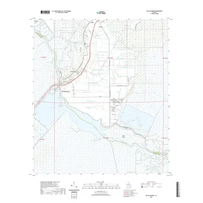 2020 Des Allemands2020 Print · USGSCovers Lafourche Parish, including Green Acres, Bayou Gauche, and other nearby areas
 - 2020 Map of Lake Felicity, 2020 Print
 2020 Lake Felicity2020 Print · USGSCovers Lafourche Parish, including Terrebonne Parish, United States, and other nearby areas
 - 2020 Map of Bay Tambour, 2020 Print
 2020 Bay Tambour2020 Print · USGSCovers Lafourche Parish, including Jefferson Parish, United States, and other nearby areas
 - 2020 Map of Bayou Boeuf, 2020 Print
 2020 Bayou Boeuf2020 Print · USGSCovers Lafourche Parish, including Raceland, Bayou Boeuf, and other nearby areas
 - 2020 Map of Lagan, 2020 Print
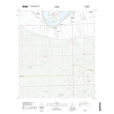 2020 Lagan2020 Print · USGSCovers Lafourche Parish, including Pikes Peak, Chackbay, and other nearby areas
 - 2020 Map of Madewood, 2020 Print
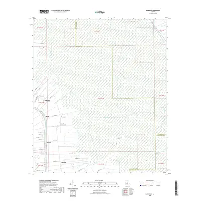 2020 Madewood2020 Print · USGSCovers Lafourche Parish, including Rosedale, Bertie, and other nearby areas
 - 2020 Map of Montegut, 2020 Print
 2020 Montegut2020 Print · USGSCovers Lafourche Parish, including Chauvin, Montegut, and other nearby areas
 - 2020 Map of Jacko Bay, 2020 Print
 2020 Jacko Bay2020 Print · USGSCovers Lafourche Parish, including Terrebonne Parish, United States, and other nearby areas
 - 2020 Map of Pelican Pass, 2020 Print
 2020 Pelican Pass2020 Print · USGSCovers Lafourche Parish, including United States, Louisiana, and other nearby areas
 - 2020 Map of Bay Courant, 2020 Print
 2020 Bay Courant2020 Print · USGSCovers Lafourche Parish, including Golden Meadow, United States, and other nearby areas
 - 2020 Map of Bourg, 2020 Print
 2020 Bourg2020 Print · USGSCovers Lafourche Parish, including Bourg, Grandbois, and other nearby areas
 - 2020 Map of Caminada Pass, 2020 Print
 2020 Caminada Pass2020 Print · USGSCovers Lafourche Parish, including Grand Isle, Cheniere Caminada, and other nearby areas
 - 2020 Map of Larose, 2020 Print
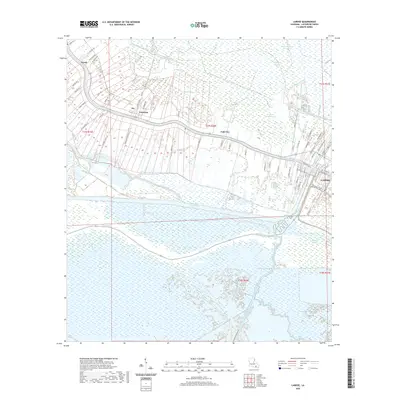 2020 Larose2020 Print · USGSCovers Lafourche Parish, including Ludevine, Valentine, and other nearby areas
 - 2020 Map of Golden Meadow Farms, 2020 Print
 2020 Golden Meadow Farms2020 Print · USGSCovers Lafourche Parish, including Jefferson Parish, United States, and other nearby areas
Showing maps 1-25 of 86
Top cities of Lafourche Parish
Frequently asked questions
- What are the different types of historical maps available for Lafourche Parish?
- What is the oldest map of Lafourche Parish?
- Where can I purchase historical maps of Lafourche Parish for my home or office?
- Where can I download high-res historical maps of Lafourche Parish?
- Are there historical topographic maps available for Lafourche Parish?
- Is there historical aerial imagery available for Lafourche Parish?
- Where are historical maps of Lafourche Parish sourced from?