2000s (21st Century) Maps of Lincoln Parish, Louisiana
Explore 85 historic maps of Lincoln Parish from the 2000s (21st Century). These maps offer a rare glimpse into what life looked like during the 2000s — showing old roads, neighborhoods, homes, and landmarks that have changed or disappeared over time.
Whether you're researching your family's past, planning a metal detecting trip, or studying how Lincoln Parish's landscape evolved across the 2000s, these high-resolution maps are a powerful tool for exploring the history of this region.
- Focus on a specific era: All maps on this page are from the 2000s, giving you a focused view of this time period.
- See what’s changed: Compare century-old streets, trails, and buildings to today's modern landscape using overlays and satellite layers.
- Research with precision: Use these maps for genealogy, historical research, land use analysis, or educational projects.
- View, download, or print: Maps are fully viewable online in high resolution, and can be downloaded or printed for your own records.
Start exploring Lincoln Parish's history through authentic maps from the 2000s. This is your window into the past.
Lincoln Parish, LA maps
(85)- 2012 Map of Bryceland, 2012 Print
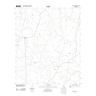 2012 Bryceland2012 Print · USGSThe northern Louisiana hills are mapped here during the early twenty-first century, centered on the village of Bryceland. Researchers can locate the Mount Gillard Cem, the heights of Driskill Mountain, and the Gentry Hill Lookout Tower near the winding Saline Bayou.
 - 2012 Map of Cedarton, 2012 Print
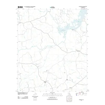 2012 Cedarton2012 Print · USGSThe northern reaches of Lincoln Parish come into focus in this early twenty-first-century survey of the Bayou D'Arbonne watershed. Local historians can trace family roots through the Unionville Gas Field and several rural burial grounds like Fellowship Cem and Colvin Cem.
 - 2012 Map of Arcadia, 2012 Print
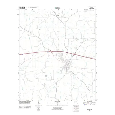 2012 Arcadia2012 Print · USGSArcadia and the surrounding Bienville Parish woodlands are captured here during the early twenty-first century. Researchers can trace rural settlement patterns and local lineage through landmarks like Bridges Mill, Fords, and the Givens-McGuire Cem.
 - 2012 Map of Vernon, 2012 Print
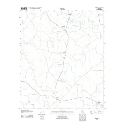 2012 Vernon2012 Print · USGSNorthern Jackson Parish comes into focus in the early 2010s, showing a rural landscape shaped by gas extraction and quiet settlements. Genealogists can locate family burial grounds at Mount Zion Cem or Oak Ridge Cem and trace the paths of Castor Cr and Sandy Cr.
 - 2012 Map of Clay, 2012 Print
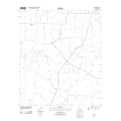 2012 Clay2012 Print · USGSNorth Louisiana's timber and gas lands are shown in detail during the early 2010s, featuring the rural settlements of Clay and Ansley. Genealogists and local historians can trace family locations at Wesley Chapel Cem, Prospect Cem, and the Clay Gas Field.
 - 2012 Map of Eros, 2012 Print
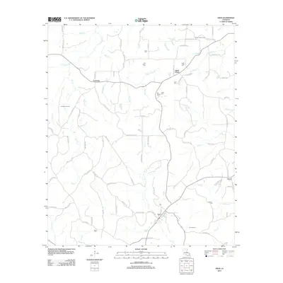 2012 Eros2012 Print · USGSThe rural landscape of Jackson Parish is well preserved in this early 2010s survey, detailing a network of small settlements and family landmarks. Genealogists and historians can trace lineage through Butler Cem, Eros Cem, and the community of Indian Village.
 - 2012 Map of Wilson Creek, 2012 Print
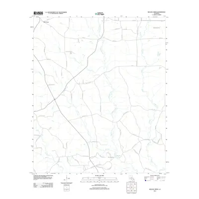 2012 Wilson Creek2012 Print · USGSLincoln Parish comes into focus during the early twenty-first century as a landscape of timber, winding creeks, and active gas fields. Genealogists and local historians can locate Pruitt Cem and trace the reaches of the Dugdemona River and Simsboro Gas Field.
 - 2012 Map of Lisbon, 2012 Print
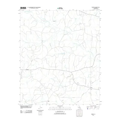 2012 Lisbon2012 Print · USGSLisbon and Sharon appear in this Louisiana survey as significant rural hubs during a period of active energy extraction. Researchers can locate the Mount Pleasant Cemetery, the Lisbon Oil Field, and the Post Office in Lisbon.
 - 2012 Map of Ruston East, 2012 Print
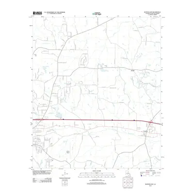 2012 Ruston East2012 Print · USGSLincoln Parish at the turn of the decade shows a landscape where established settlements meet the energy industry. Genealogists and local historians can trace the roads around Choudrant, locate the Douglas Cem, and see the extent of the Choudrant Gas Field.
 - 2012 Map of Simsboro, 2012 Print
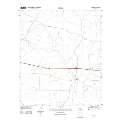 2012 Simsboro2012 Print · USGSSimsboro and its surrounding gas fields are captured in this 2012 survey during a period of modern energy production and rural development. Genealogists and local historians can trace family-named landmarks and cemeteries like Trussell Cem, Powell Cem, and Kings Gin Rd.
 - 2012 Map of Bernice, 2012 Print
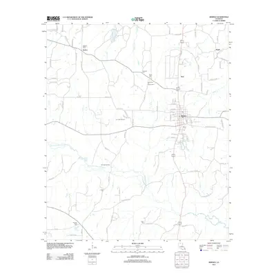 2012 Bernice2012 Print · USGSNorth Louisiana's timber and energy corridors are on full display in this early twenty-first-century survey of Union Parish. Researchers can trace rural lineages through numerous local landmarks, including the Alabama-Weldon Cemetery, Lynn Creek Gas Field, and the community of Bernice.
 - 2012 Map of Shiloh, 2012 Print
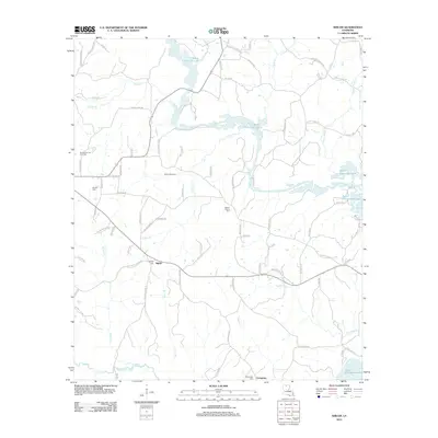 2012 Shiloh2012 Print · USGSUnion Parish in the early 2000s is a landscape where timbered creek bottoms meet active energy extraction. Researchers can trace family history through Shiloh Cem and Evergreen Cem while exploring the reach of the Shiloh Gas Field near Bayou D'Arbonne Lake.
 - 2012 Map of Dubach, 2012 Print
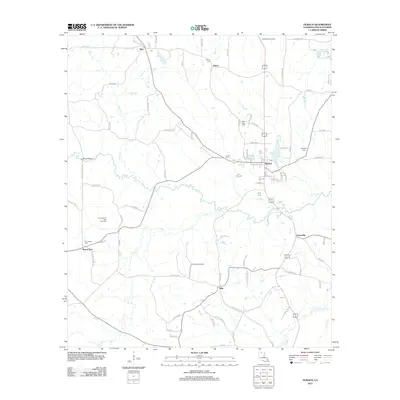 2012 Dubach2012 Print · USGSNorth Louisiana's timber and energy corridors are mapped here in the early 2010s, centering on the town of Dubach. Researchers can trace old family burial sites like Autrey Cem and Hopewell Cem or locate industrial landmarks like the Hilly Lookout Tower.
 - 2012 Map of Ruston West, 2012 Print
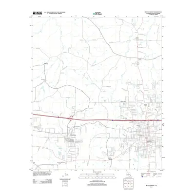 2012 Ruston West2012 Print · USGSLincoln Parish in the early twenty-first century showcases a landscape defined by its major universities and deep-rooted rural communities. Researchers can trace the boundaries of the Ruston Gas Field or locate ancestral sites at Watts Cem and McGloughlin Cem.
 - 2012 Map of Downsville South, 2012 Print
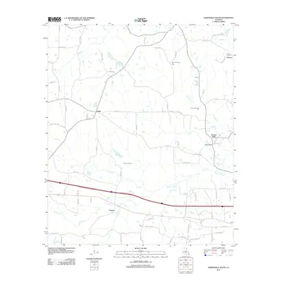 2012 Downsville South2012 Print · USGSLincoln Parish in the early 2010s shows a landscape defined by traditional rural communities and active energy production. Local historians can trace the development of Tremont, Sibley, and Frost Town alongside the Tremont Gas Field.
 - 2012 Map of Downsville North, 2012 Print
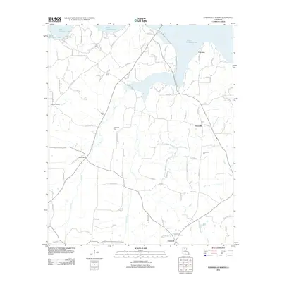 2012 Downsville North2012 Print · USGSUnion Parish at the start of the 2010s is defined by the expansive waters of Bayou D'Arbonne Lake and a landscape active with natural gas extraction. Genealogists and local historians can trace family locations near Holmesville Cem, Cox Ferry, or the community of D'Arbonne.
 - 2012 Map of Lake Foursome, 2012 Print
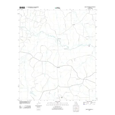 2012 Lake Foursome2012 Print · USGSLincoln Parish in the early twenty-first century is a landscape of creek bottoms and winding parish roads. Genealogists and local historians can trace family-named routes and small settlements like Crossroads, Liberty Hill, and the Terryville Gas Field.
 - 2015 Map of Downsville North, 2015 Print
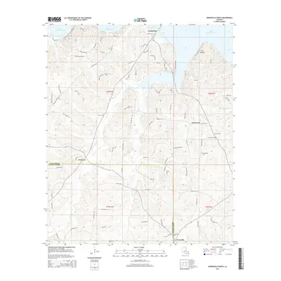 2015 Downsville North2015 Print · USGSThe hills of Union and Lincoln Parishes are shown in the mid-2010s, centered on the inlets of the large Bayou D'Arbonne Lake reservoir. Researchers can locate numerous family burial grounds and small settlements like Holmesville, Cox Ferry, and Sardis Cem.
 - 2015 Map of Ruston East, 2015 Print
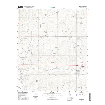 2015 Ruston East2015 Print · USGSThe eastern edges of Ruston and the surrounding Lincoln Parish countryside are captured in the mid-2010s. Researchers can locate family landmarks like Douglas Cem or trace the drainage of Choudrant Cr and Stowe Cr.
 - 2015 Map of Bernice, 2015 Print
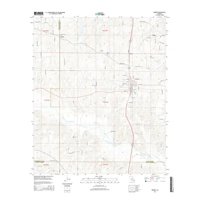 2015 Bernice2015 Print · USGSLouisiana's northern hill country is centered here around the town of Bernice and the Middle Fork Bayou D'Arbonne. Genealogists and local historians can trace rural family roots through numerous sites like Alabama-Weldon Cem, Pisgah, and Hopewell Cem.
 - 2015 Map of Simsboro, 2015 Print
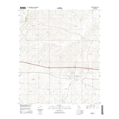 2015 Simsboro2015 Print · USGSSimsboro and the surrounding pine-forested terrain of Lincoln Parish are documented here during the mid-2010s. Researchers can trace family roots at Trussell Cem and Powell Cem, or follow the winding Dugdemona River and Walnut Cr through the old parish townships.
 - 2015 Map of Wilson Creek, 2015 Print
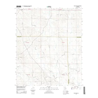 2015 Wilson Creek2015 Print · USGSNorth Louisiana timberlands and parish borders are finely detailed in the mid-2010s, showing where Lincoln, Bienville, and Jackson Parishes meet. Local researchers can trace family sites like Pruitt Cem or follow the winding courses of the Dugdemona River and Wilson Creek.
 - 2015 Map of Cedarton, 2015 Print
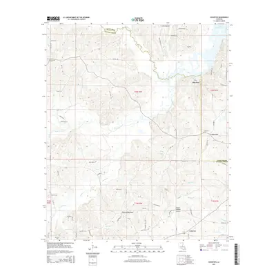 2015 Cedarton2015 Print · USGSThe transition between Union and Lincoln Parishes comes into focus in this recent survey of the Louisiana back-country. Researchers can locate family landmarks like Fellowship Cem, the community at Cedarton, and the old crossing at Gills Ferry.
 - 2015 Map of Clay, 2015 Print
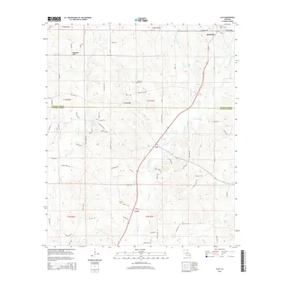 2015 Clay2015 Print · USGSThe borderlands of Lincoln and Jackson Parish appear here in the mid-2010s, showing a rural landscape of creek-fed bottomlands. Researchers can trace local heritage through sites like Wesley Chapel Cemetery and settlements like Clay and Ansley.
 - 2015 Map of Downsville South, 2015 Print
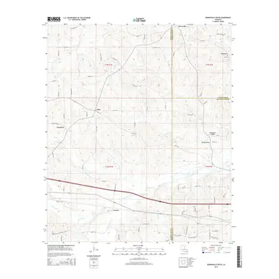 2015 Downsville South2015 Print · USGSAcross the rolling hill country of northern Louisiana in the 2010s, this survey details the crossroads communities of Choudrant and Downsville. Researchers can trace local heritage at Smyrna Cem and locate family landmarks near Frost Town and Sibley.
Showing maps 1-25 of 85
Top cities of Lincoln Parish
- Ruston historical maps
- Grambling historical maps
- Dubach historical maps
- Simsboro historical maps
- Choudrant historical maps
- Vienna historical maps
Frequently asked questions
- What are the different types of historical maps available for Lincoln Parish?
- What is the oldest map of Lincoln Parish?
- Where can I purchase historical maps of Lincoln Parish for my home or office?
- Where can I download high-res historical maps of Lincoln Parish?
- Are there historical topographic maps available for Lincoln Parish?
- Is there historical aerial imagery available for Lincoln Parish?
- Where are historical maps of Lincoln Parish sourced from?