2010s Maps of Saint Martin Parish, Louisiana
Explore 84 historic maps of Saint Martin Parish from the 2010s. These maps offer a rare glimpse into what life looked like during the 2010s — showing old roads, neighborhoods, homes, and landmarks that have changed or disappeared over time.
Whether you're researching your family's past, planning a metal detecting trip, or studying how Saint Martin Parish's landscape evolved across the 2010s, these high-resolution maps are a powerful tool for exploring the history of this region.
- Focus on a specific era: All maps on this page are from the 2010s, giving you a focused view of this time period.
- See what’s changed: Compare century-old streets, trails, and buildings to today's modern landscape using overlays and satellite layers.
- Research with precision: Use these maps for genealogy, historical research, land use analysis, or educational projects.
- View, download, or print: Maps are fully viewable online in high resolution, and can be downloaded or printed for your own records.
Start exploring Saint Martin Parish's history through authentic maps from the 2010s. This is your window into the past.
Saint Martin Parish, LA maps
(84)- 2012 Map of Tiger Island, 2012 Print
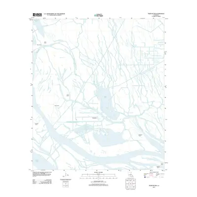 2012 Tiger Island2012 Print · USGSSaint Martin Parish in the early 21st century reveals a working wetland landscape shaped by the energy industry and complex bayou systems. You can trace the footprint of the Duck Lake Oil and Gas Field and the winding paths of Little Bayou Sorrel and Yellow Bayou.
 - 2012 Map of Grassy Lake, 2012 Print
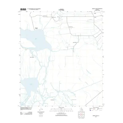 2012 Grassy Lake2012 Print · USGSThe Atchafalaya Basin's intricate water network comes into focus in the early 2010s, showing a landscape defined by bayous and energy extraction. Genealogists and historians can trace settlements like Upper Texas and Lower Texas alongside the Oakley Gas Field.
 - 2012 Map of Centerville NE, 2012 Print
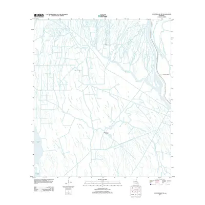 2012 Centerville NE2012 Print · USGSCoastal Louisiana at the start of the 2010s reveals a landscape where deep-water bayous meet industrial energy production. Researchers can trace the water-bound geography of Population Bend and explore the locations of the Bayou Postillion Oil Field and Keelboat Pass.
 - 2012 Map of Amelia, 2012 Print
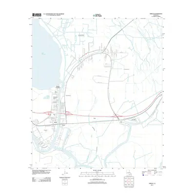 2012 Amelia2012 Print · USGSCoastal Louisiana's industrial and waterborne heritage is on full display here during the early twenty-first century. Researchers can trace the proximity of family sites like Saint Andrews Cem to significant energy infrastructure at the Amelia Gas Field and the Bayou Boeuf Seaplane Base.
 - 2012 Map of Centerville, 2012 Print
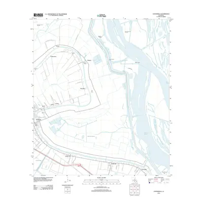 2012 Centerville2012 Print · USGSSt. Mary Parish at the start of the 2010s reveals a landscape where historic bayou settlements meet modern energy production. Genealogists and historians can trace the communities of Franklin and Verdunville or locate family sites like Oaklawn Cem and Stirling Cem.
 - 2012 Map of Morgan City, 2012 Print
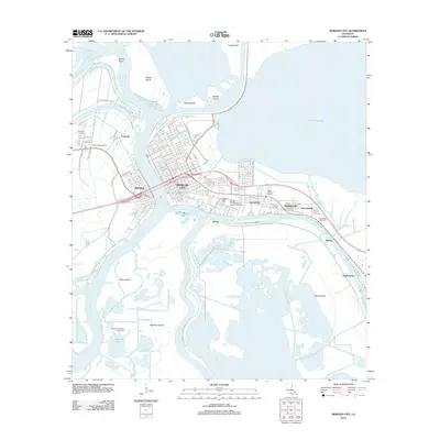 2012 Morgan City2012 Print · USGSMorgan City and Berwick sit at the heart of the Atchafalaya delta, where deep water and industrial growth define the landscape. Genealogists and historians can trace the development of Siracusaville and Fairville or locate family sites at Morgan City Cem.
 - 2012 Map of Centerville NW, 2012 Print
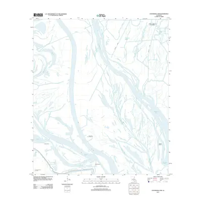 2012 Centerville NW2012 Print · USGSIberia Parish enters the second decade of the millennium as a landscape of energy extraction and winding waterways. Researchers can trace the industrial footprint of the Myette Point Oil and Gas Field and the flow of the Keelboat Pass.
 - 2012 Map of Pierre Part, 2012 Print
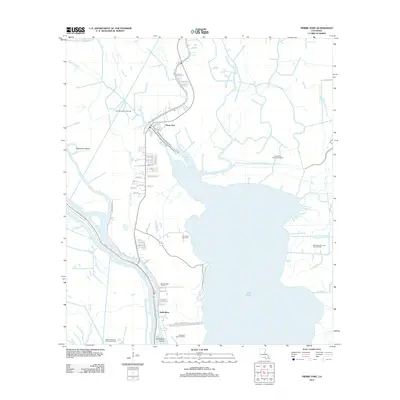 2012 Pierre Part2012 Print · USGSLouisiana's Atchafalaya Basin comes into focus during this period of energy expansion and coastal settlement. Genealogists and historians can trace family locations near Pierre Part or locate the Sacred Heart Ch Cem among numerous gas and oil fields.
 - 2012 Map of Napoleonville SW, 2012 Print
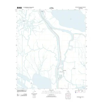 2012 Napoleonville SW2012 Print · USGSCoastal Louisiana in the early twenty-first century reveals a landscape where industry and wetlands converge around Stephenville. Researchers can trace local history along Tom Morgan Rd and locate landmarks such as Graveyard Island or the Stephensville Gas Field.
 - 2012 Map of Butte La Rose, 2012 Print
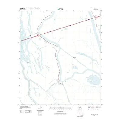 2012 Butte La Rose2012 Print · USGSThe community of Butte La Rose is captured in the early 2010s at a bend in the river, surrounded by the intricate waterways of the basin. Genealogists and local historians can trace family locations along Evangeline St and the Butte La Rose Cem.
 - 2012 Map of Loreauville, 2012 Print
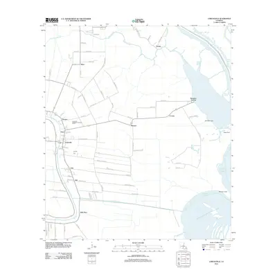 2012 Loreauville2012 Print · USGSCoastal Louisiana at the start of the twenty-first century reveals a landscape defined by the winding Bayou Teche and its surrounding communities. Researchers can trace family-named roads and established settlements such as Loreauville, Belle Place, and Dauterive Landing.
 - 2012 Map of Pigeon, 2012 Print
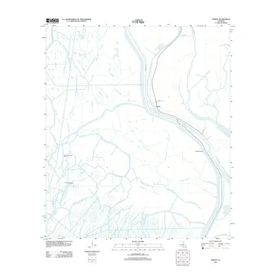 2012 Pigeon2012 Print · USGSIberville Parish waterways and energy fields are shown in great detail during the early 2010s. Genealogists and researchers can trace the settlement of Pigeon and locate industrial landmarks like the North Bayou Pigeon Oil Field and Pumpkin Point.
 - 2012 Map of Lake Chicot, 2012 Print
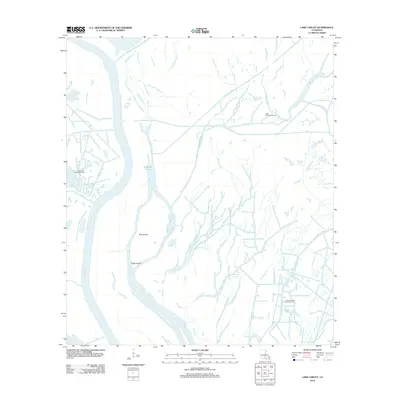 2012 Lake Chicot2012 Print · USGSIberia Parish's deep wetlands and industrial waterways are captured here during the early twenty-first century. Researchers can trace the intersection of the energy economy and natural hydrology through sites like the Lake Chicot Oil and Gas Field and navigation routes along Chicot Pass and Indigo Bayou.
 - 2012 Map of Cow Bayou, 2012 Print
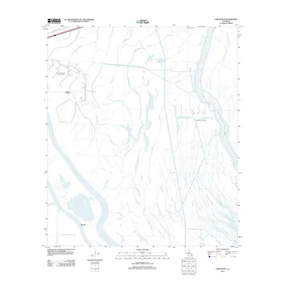 2012 Cow Bayou2012 Print · USGSSaint Martin Parish at the start of the 2010s reveals a specialized landscape of industrial energy extraction and complex wetlands. Researchers can trace the legacy of oil production at the Klondike Oil Field or navigate the winding waters of Bayou Maringouin and Whisky Bay Pilot Channel.
 - 2012 Map of Cecilia, 2012 Print
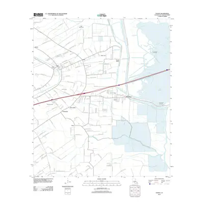 2012 Cecilia2012 Print · USGSSaint Martin Parish at the start of the 2010s shows a landscape deeply defined by the waters of the Atchafalaya basin and the legacy of the oil industry. Researchers can pinpoint Cecilia Oil Field, trace family history at Our Lady of Mercy Cem, and locate the old stop at Nina Station.
 - 2012 Map of Grand River, 2012 Print
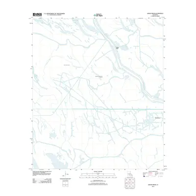 2012 Grand River2012 Print · USGSIberville Parish is captured in this survey of the Louisiana wetlands during a period of active energy production and flood management. Researchers can trace historical waterways like Graveyard Bayou and Bloody Bayou alongside industrial sites such as the Frog Lake Oil Field.
 - 2012 Map of Parks, 2012 Print
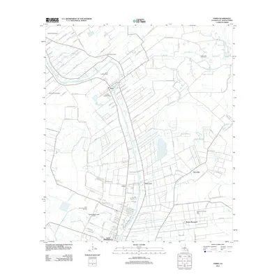 2012 Parks2012 Print · USGSSaint Martin Parish in the early twenty-first century remains defined by its winding waterways and persistent energy industry. Genealogists and historians can trace the development of settlements like Parks and Levert or locate historical sites such as Banker Plantation and the Section 28 Oil and Gas Field.
 - 2012 Map of Portage, 2012 Print
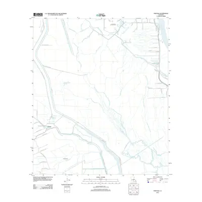 2012 Portage2012 Print · USGSSaint Martin Parish at the turn of the decade is a world of deep bayous and energy extraction. Genealogists and researchers can trace family-named routes like Regis Lagrange Rd and Moise Mallet Rd near the North Cecilia Gas Field.
 - 2012 Map of Arnaudville, 2012 Print
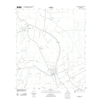 2012 Arnaudville2012 Print · USGSArnaudville and Leonville sit at the heart of this survey of the Bayou Teche corridor in the early twenty-first century. Genealogists and local historians can trace family land via Lucien Richard Rd, locate the Ring Zion Cem, or explore the Arnaudville Oil and Gas Field.
 - 2012 Map of New Iberia North, 2012 Print
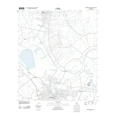 2012 New Iberia North2012 Print · USGSCajun country along the Bayou Teche is captured here during the early twenty-first century, spanning from Saint Martinville to New Iberia. Researchers can trace local neighborhoods and landmarks like the Gerbent Oak, the community of Morbihan, and the historic Duperier Bridge.
 - 2012 Map of Jackass Bay, 2012 Print
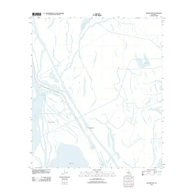 2012 Jackass Bay2012 Print · USGSIberia Parish's deep-swamp landscape is captured here in the early twenty-first century, showing a transition between wild bayous and industrial energy fields. Researchers can trace the water-bound geography of the Fausse Pointe Oil Field or the unique name of Four Hundred Dollar Bayou.
 - 2012 Map of Maringouin, 2012 Print
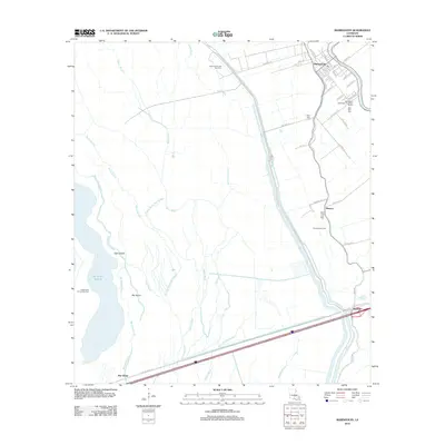 2012 Maringouin2012 Print · USGSMaringouin and the Atchafalaya basin are shown in this modern era, where industrial gas fields meet the intricate bayous of Iberville Parish. Genealogists and researchers can trace local family landmarks and burial sites like Saint Peter Cem, New Zion Cem, and the settlement of Musson.
 - 2012 Map of Breaux Bridge, 2012 Print
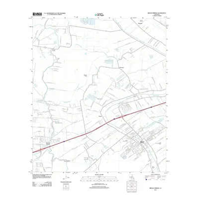 2012 Breaux Bridge2012 Print · USGSSt. Martin and Lafayette parishes are shown in the early 2010s, where bayou-side settlements meet the industrial landscape of the Louisiana oil fields. Trace local history through the Anse La Butte Oil and Gas Field, Saint Bernard Cem, and the streets of Breaux Bridge.
 - 2012 Map of Lake Mongoulois, 2012 Print
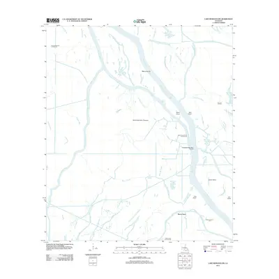 2012 Lake Mongoulois2012 Print · USGSThe Atchafalaya Basin in the early 2010s reveals an intricate watery world defined by deep-swamp energy extraction and complex floodway management. Researchers can trace the network of oil and gas fields, including Bayou Chene Oil Field and Frog Lake Gas Field, alongside winding waterways like Four Hundred Dollar Bayou.
 - 2012 Map of Maringouin NW, 2012 Print
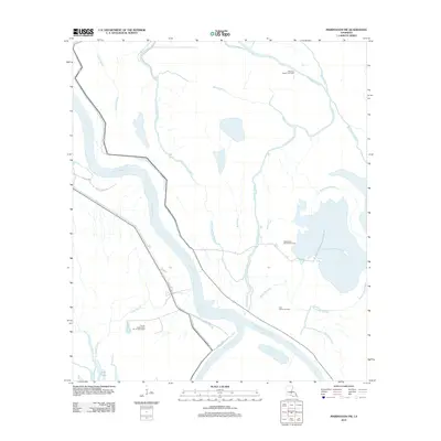 2012 Maringouin NW2012 Print · USGSSt. Landry Parish's deep basin is shown in the early 2010s, a landscape defined by the winding Atchafalaya and its industry. Researchers can trace the energy infrastructure of the Happytown Oil and Gas Field and waterways like the Whisky Bay Pilot Channel.
Showing maps 1-25 of 84
Top cities of Saint Martin Parish
Frequently asked questions
- What are the different types of historical maps available for Saint Martin Parish?
- What is the oldest map of Saint Martin Parish?
- Where can I purchase historical maps of Saint Martin Parish for my home or office?
- Where can I download high-res historical maps of Saint Martin Parish?
- Are there historical topographic maps available for Saint Martin Parish?
- Is there historical aerial imagery available for Saint Martin Parish?
- Where are historical maps of Saint Martin Parish sourced from?