2010s Maps of Winn Parish, Louisiana
Explore 84 historic maps of Winn Parish from the 2010s. These maps offer a rare glimpse into what life looked like during the 2010s — showing old roads, neighborhoods, homes, and landmarks that have changed or disappeared over time.
Whether you're researching your family's past, planning a metal detecting trip, or studying how Winn Parish's landscape evolved across the 2010s, these high-resolution maps are a powerful tool for exploring the history of this region.
- Focus on a specific era: All maps on this page are from the 2010s, giving you a focused view of this time period.
- See what’s changed: Compare century-old streets, trails, and buildings to today's modern landscape using overlays and satellite layers.
- Research with precision: Use these maps for genealogy, historical research, land use analysis, or educational projects.
- View, download, or print: Maps are fully viewable online in high resolution, and can be downloaded or printed for your own records.
Start exploring Winn Parish's history through authentic maps from the 2010s. This is your window into the past.
Winn Parish, LA maps
(84)- 2012 Map of Weston, 2012 Print
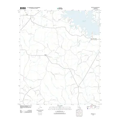 2012 Weston2012 Print · USGSJackson Parish comes into focus during the early twenty-first century, showing a landscape defined by the expansive Caney Creek Reservoir. Genealogists and local historians can trace family locations near Weston, Walker, and the Mount Hebron Cemetery.
 - 2012 Map of Danville, 2012 Print
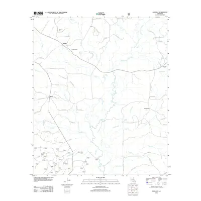 2012 Danville2012 Print · USGSNorthern Louisiana's timber and gas lands are shown here as they appeared in the early 2010s. Researchers can locate the Danville Gas Field, trace the winding path of Fouse Bayou, and find family history at Danville Cem and McDonald Cem.
 - 2012 Map of Vixen, 2012 Print
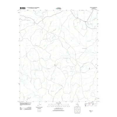 2012 Vixen2012 Print · USGSCaldwell Parish in the early twenty-first century reveals a landscape defined by its complex creek networks and quiet settlements. Researchers can trace family history through local landmarks like Palestine Cem, the Seven Runs Crossing, and the small community of Vixen.
 - 2012 Map of Womack, 2012 Print
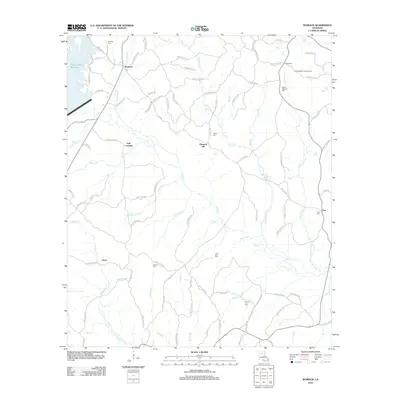 2012 Womack2012 Print · USGSJackson Parish rural life is centered around small timber settlements and creek-side communities in the early 2010s. Researchers can locate family roots at Mount Pleasant Cem or trace the legacy of local industry at Hoods Mill and the Hoods Mill Lookout Tower.
 - 2012 Map of Sikes, 2012 Print
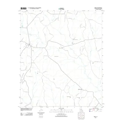 2012 Sikes2012 Print · USGSNorth central Louisiana during the early 2010s reveals a parish landscape defined by timber, creeks, and energy production. Genealogists and local historians can trace family locations through Willis Cemetery and Smith Cemetery or locate the Sikes Lookout Tower.
 - 2012 Map of Goldonna, 2012 Print
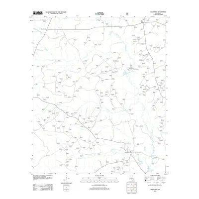 2012 Goldonna2012 Print · USGSThe Natchitoches Parish interior is documented here in the early twenty-first century, centered on the settlement of Goldonna. Researchers can trace local lineage through Goldonna Cem or locate the historic Drakes Salt Lick along the banks of Saline Bayou.
 - 2012 Map of Cotton Plant, 2012 Print
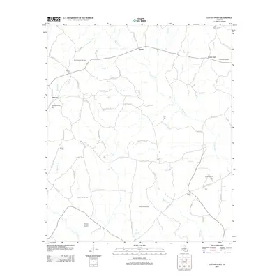 2012 Cotton Plant2012 Print · USGSWinn Parish remains a landscape of energy production and rural community during the early twenty-first century. Researchers can trace family sites and local history through numerous burial grounds like Hebron Cem and landmarks such as the Sardis Church of Gas Field.
 - 2012 Map of Hudson, 2012 Print
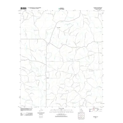 2012 Hudson2012 Print · USGSWinn Parish remains a landscape of timber and energy resources in the early twenty-first century. Genealogists and local historians can trace family locations near Gaars Mill and Hudson, or locate family plots at Hatten Cemetery and McCarty Cem.
 - 2012 Map of Dodson, 2012 Print
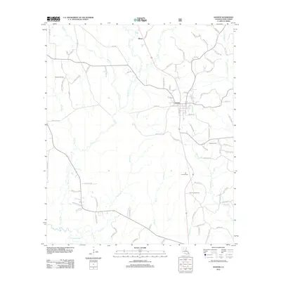 2012 Dodson2012 Print · USGSWinn Parish's timber and energy heartland comes into focus in this recent study of the area surrounding Dodson. Researchers can trace the legacy of local families through landmarks like Winona Lookout Tower and explore the geography of the Gansville Gas Field or the banks of the Dugdemona River.
 - 2012 Map of Jonesboro South, 2012 Print
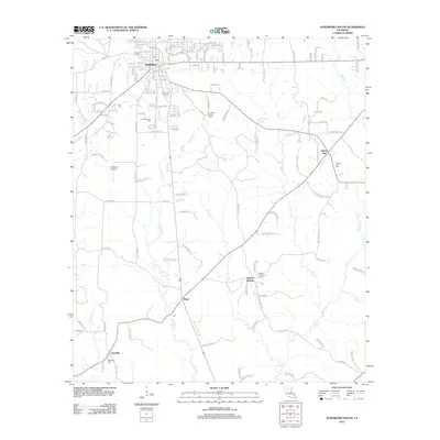 2012 Jonesboro South2012 Print · USGSJackson Parish settlements and rural intersections are captured here during the early twenty-first century. Researchers can trace family history through several local burial sites, including Siloam Springs Cem and Gansville Cem, or locate landmarks like the Jonesboro Lookout Tower.
 - 2012 Map of Iron Branch, 2012 Print
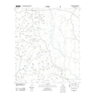 2012 Iron Branch2012 Print · USGSWinn Parish remains a land of winding creeks and timber roads in the early twenty-first century. Genealogists and local historians can trace family locations near Brewtons Mill and Bethlehem, or locate the historic Prices Salt Lick.
 - 2012 Map of Coup Point, 2012 Print
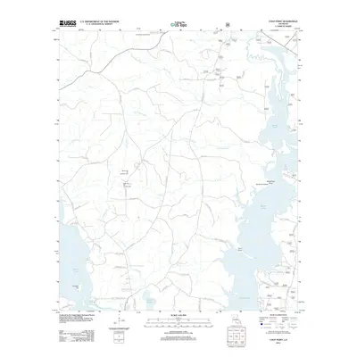 2012 Coup Point2012 Print · USGSThe Natchitoches Parish lake country is shown here in the early twenty-first century, highlighting a landscape defined by petroleum extraction and sprawling wetlands. Researchers can locate the Black Lake Oil and Gas Field, the Goldonna Lookout Tower, and numerous landings on Saline Lake.
 - 2012 Map of Packton, 2012 Print
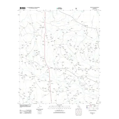 2012 Packton2012 Print · USGSWinn Parish remains a land of quiet timber settlements and family-named homesteads in the early twenty-first century. Genealogists and local historians can trace legacy sites like Melton Cem, the Latt Lookout Tower, and the small community of Packton.
 - 2012 Map of Williana, 2012 Print
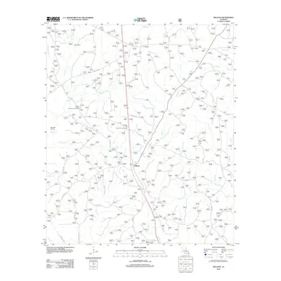 2012 Williana2012 Print · USGSWilliana and the surrounding Grant Parish woodlands are documented here during the early twenty-first century. Local researchers can trace family landmarks and historical sites like the Liberty Chapel Cem, Spanish Mound, and Mosley Hill Lookout Tower.
 - 2012 Map of Tullos, 2012 Print
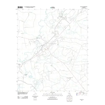 2012 Tullos2012 Print · USGSLaSalle Parish at the start of the 2010s shows a landscape defined by the Tullos Urania Oil Field and river bottomlands. Researchers can trace family sites at Pendarvis Cem or locate landmarks like the Bay Springs Lookout Tower.
 - 2012 Map of Calvin, 2012 Print
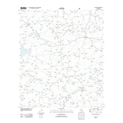 2012 Calvin2012 Print · USGSWinn Parish at the start of the 2010s shows a landscape where timber culture and recreation meet along the shores of Saline Lake. Researchers can locate several rural burial sites like Old Harmony Cem and Franks Cem or trace family road names near Calvin.
 - 2012 Map of Winnfield East, 2012 Print
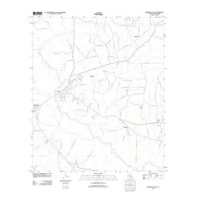 2012 Winnfield East2012 Print · USGSWinn Parish in the early 2010s reveals a landscape defined by the Dugdemona River and its rural timber-country settlements. Genealogists and researchers can trace family landmarks like Old Pleasant Hill Cem and the Colgrade Lookout Tower.
 - 2012 Map of Atlanta, 2012 Print
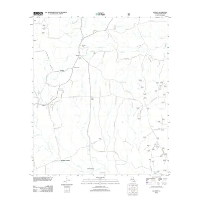 2012 Atlanta2012 Print · USGSThe Atlanta area of Winn Parish reveals a landscape of energy production and small crossroads settlements in the early twenty-first century. Genealogists and historians can trace family roots at Antioch Cemetery or locate old landmarks like the Sardis Lookout Tower and Beal Crossing.
 - 2012 Map of Coochie Brake, 2012 Print
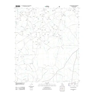 2012 Coochie Brake2012 Print · USGSThe rural landscape of Winn Parish at the start of the 2010s reveals a network of homesteads and creek-side settlements. Genealogists and local historians can trace family locations near the Kimbrell Cem or along the banks of Nantachie Cr and Couley Cr.
 - 2012 Map of Saint Maurice, 2012 Print
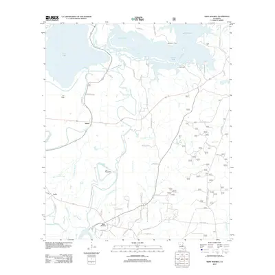 2012 Saint Maurice2012 Print · USGSNatchitoches Parish at the turn of the decade is shown here as a landscape defined by the Red River and its complex bayou systems. Researchers can trace family history through sites like Saint Maurice, Pace Cem, and the small settlement of Trichell.
 - 2012 Map of Saline, 2012 Print
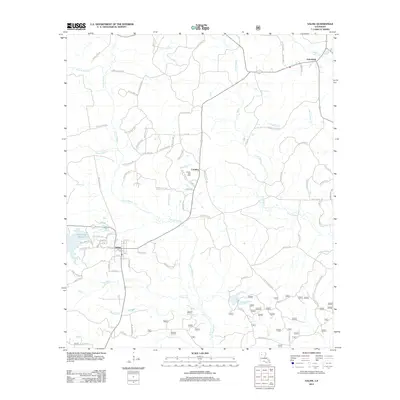 2012 Saline2012 Print · USGSLouisiana's Bienville Parish is captured here in the early twenty-first century, centered on the community of Saline. Researchers can trace the local landscape through features like the Saline Gas Field, Friendship, and the waters of Saline Bayou.
 - 2012 Map of Flat Creek, 2012 Print
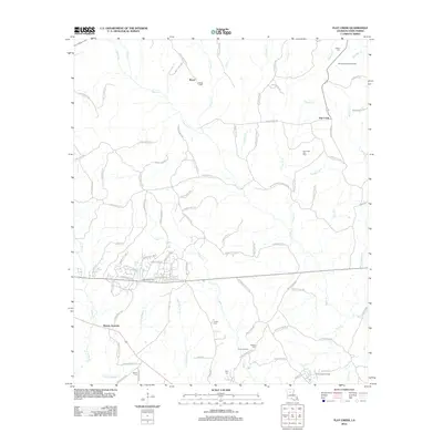 2012 Flat Creek2012 Print · USGSWinn Parish in the early 2010s reveals a rural landscape shaped by the petroleum industry and family-owned lands. Researchers can trace local genealogy through sites like Adams Cem, the Colgrade Oil Field, and the crossroads at Murray Junction.
 - 2012 Map of Olla West, 2012 Print
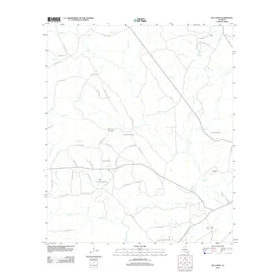 2012 Olla West2012 Print · USGSLaSalle Parish in the early 2010s reveals a landscape shaped by resource extraction and timber management. Genealogists and local historians can trace family ties through rural landmarks like Adams Cem, Whitehead Cem, and the Richland Creek Gas Field.
 - 2012 Map of Montgomery, 2012 Print
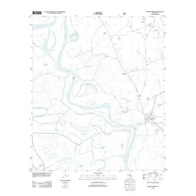 2012 Montgomery2012 Print · USGSThe Red River valley in Grant Parish was a landscape defined by its waterways and small riverfront communities in the early 2010s. Researchers can trace family history at Pleasant Hill Hill Cem or explore the geography of Montgomery, Boley, and Petite Ecore.
 - 2012 Map of Winnfield West, 2012 Print
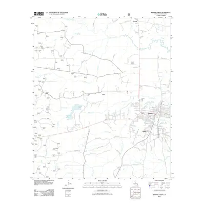 2012 Winnfield West2012 Print · USGSWinnfield and the central piney woods of Winn Parish appear here at the start of the 2010s, showing a landscape defined by river bottoms and timber-country settlements. Researchers can trace family sites at Crockett Cem or Teagle Cem, and follow the road networks through Carla and Hatfield.
Showing maps 1-25 of 84
Top cities of Winn Parish
- Winnfield historical maps
- Dodson historical maps
- Calvin historical maps
- Atlanta historical maps
- Sikes historical maps
Frequently asked questions
- What are the different types of historical maps available for Winn Parish?
- What is the oldest map of Winn Parish?
- Where can I purchase historical maps of Winn Parish for my home or office?
- Where can I download high-res historical maps of Winn Parish?
- Are there historical topographic maps available for Winn Parish?
- Is there historical aerial imagery available for Winn Parish?
- Where are historical maps of Winn Parish sourced from?