2020s Maps of Winn Parish, Louisiana
Explore 56 historic maps of Winn Parish from the 2020s. These maps offer a rare glimpse into what life looked like during the 2020s — showing old roads, neighborhoods, homes, and landmarks that have changed or disappeared over time.
Whether you're researching your family's past, planning a metal detecting trip, or studying how Winn Parish's landscape evolved across the 2020s, these high-resolution maps are a powerful tool for exploring the history of this region.
- Focus on a specific era: All maps on this page are from the 2020s, giving you a focused view of this time period.
- See what’s changed: Compare century-old streets, trails, and buildings to today's modern landscape using overlays and satellite layers.
- Research with precision: Use these maps for genealogy, historical research, land use analysis, or educational projects.
- View, download, or print: Maps are fully viewable online in high resolution, and can be downloaded or printed for your own records.
Start exploring Winn Parish's history through authentic maps from the 2020s. This is your window into the past.
Winn Parish, LA maps
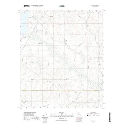
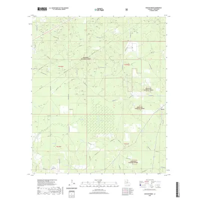
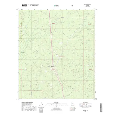
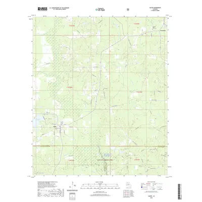
(56)- 2020 Map of Calvin, 2020 Print
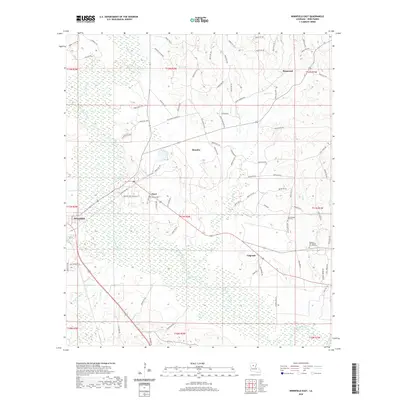
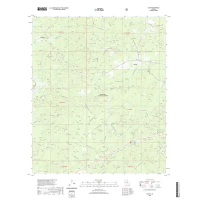 2020 Calvin2020 Print · USGSCovers Winn Parish, including Calvin, Coldwater, and other nearby areas
 - 2020 Map of Packton, 2020 Print
 2020 Packton2020 Print · USGSCovers Winn Parish, including Moore, New Moore, and other nearby areas
 - 2020 Map of Montgomery, 2020 Print
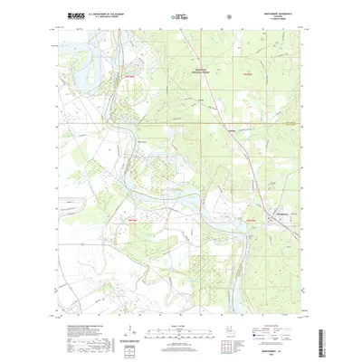 2020 Montgomery2020 Print · USGSCovers Winn Parish, including Montgomery, Crews, and other nearby areas
 - 2020 Map of Atlanta, 2020 Print
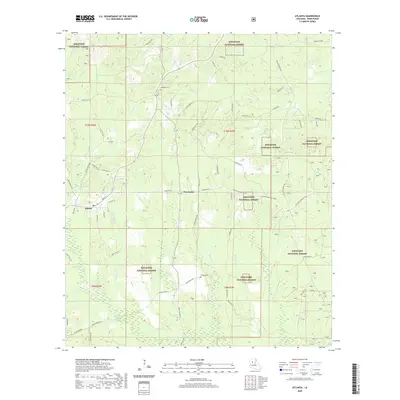 2020 Atlanta2020 Print · USGSCovers Winn Parish, including Atlanta, Sardis, and other nearby areas
 - 2020 Map of Womack, 2020 Print
 2020 Womack2020 Print · USGSCovers Winn Parish, including Womack, Pleasant Hill, and other nearby areas
 - 2020 Map of Savage Creek, 2020 Print
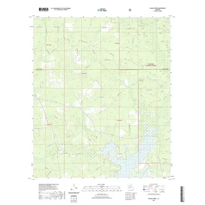 2020 Savage Creek2020 Print · USGSCovers Winn Parish, including Iatt, Grant Parish, and other nearby areas
 - 2020 Map of Flat Creek, 2020 Print
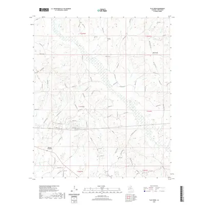 2020 Flat Creek2020 Print · USGSCovers Winn Parish, including Murray Junction, Royal, and other nearby areas
 - 2020 Map of Georgetown, 2020 Print
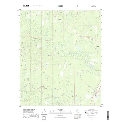 2020 Georgetown2020 Print · USGSCovers Winn Parish, including Georgetown, Curry, and other nearby areas
 - 2020 Map of Coochie Brake, 2020 Print
 2020 Coochie Brake2020 Print · USGSCovers Winn Parish, including Atlanta, Couley, and other nearby areas
 - 2020 Map of Verda, 2020 Print
 2020 Verda2020 Print · USGSCovers Winn Parish, including Montgomery, Mars Hill, and other nearby areas
 - 2020 Map of Saint Maurice, 2020 Print
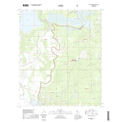 2020 Saint Maurice2020 Print · USGSCovers Winn Parish, including Trichell, Luella, and other nearby areas
 - 2020 Map of Jonesboro South, 2020 Print
 2020 Jonesboro South2020 Print · USGSCovers Winn Parish, including Jonesboro, Siloam Springs, and other nearby areas
 - 2020 Map of Williana, 2020 Print
 2020 Williana2020 Print · USGSCovers Winn Parish, including Williana, Lutes, and other nearby areas
 - 2020 Map of Olla West, 2020 Print
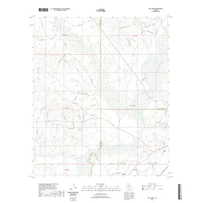 2020 Olla West2020 Print · USGSCovers Winn Parish, including Olla, Urania, and other nearby areas
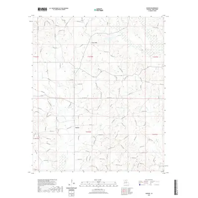
 - 2020 Map of Vixen, 2020 Print
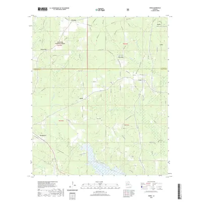
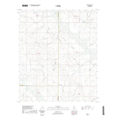 2020 Vixen2020 Print · USGSCovers Winn Parish, including Vixen, Jackson Parish, and other nearby areas
 - 2020 Map of Danville, 2020 Print
 2020 Danville2020 Print · USGSCovers Winn Parish, including Loe, Danville, and other nearby areas
 - 2020 Map of Weston, 2020 Print
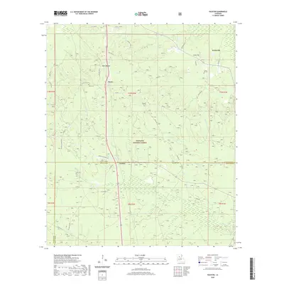
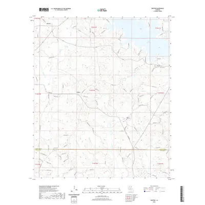 2020 Weston2020 Print · USGSCovers Winn Parish, including Walker, Mount Hebron, and other nearby areas
 - 2020 Map of Sikes, 2020 Print
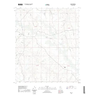 2020 Sikes2020 Print · USGSCovers Winn Parish, including Sikes, Hickory Valley, and other nearby areas
 - 2020 Map of Goldonna, 2020 Print
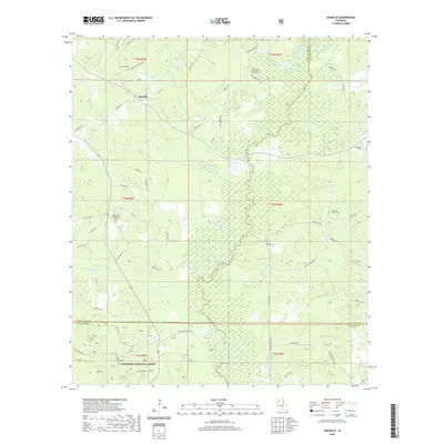
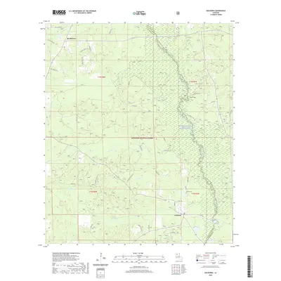 2020 Goldonna2020 Print · USGSCovers Winn Parish, including Goldonna, Readheimer, and other nearby areas
 - 2020 Map of Iron Branch, 2020 Print
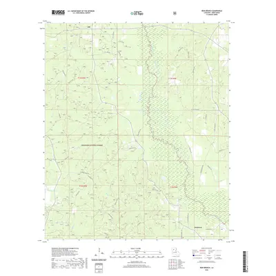 2020 Iron Branch2020 Print · USGSCovers Winn Parish, including Brewtons Mill, Bethlehem, and other nearby areas
 - 2020 Map of Saline, 2020 Print
 2020 Saline2020 Print · USGSCovers Winn Parish, including Saline, Lucky, and other nearby areas
 - 2020 Map of Dodson, 2020 Print
 2020 Dodson2020 Print · USGSCovers Winn Parish, including Dodson, Milams, and other nearby areas
 - 2020 Map of Cotton Plant, 2020 Print
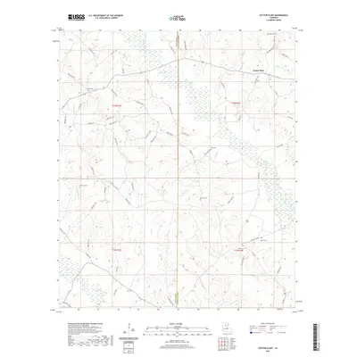 2020 Cotton Plant2020 Print · USGSCovers Winn Parish, including Chester, Newport, and other nearby areas
 - 2020 Map of Hudson, 2020 Print
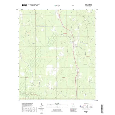
 2020 Hudson2020 Print · USGSCovers Winn Parish, including Sikes, Hudson, and other nearby areas
 - 2020 Map of Winnfield East, 2020 Print
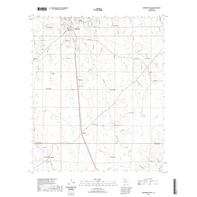
 2020 Winnfield East2020 Print · USGSCovers Winn Parish, including Winnfield, Ringwood, and other nearby areas
Showing maps 1-25 of 56
Top cities of Winn Parish
- Winnfield historical maps
- Dodson historical maps
- Calvin historical maps
- Atlanta historical maps
- Sikes historical maps
Frequently asked questions
- What are the different types of historical maps available for Winn Parish?
- What is the oldest map of Winn Parish?
- Where can I purchase historical maps of Winn Parish for my home or office?
- Where can I download high-res historical maps of Winn Parish?
- Are there historical topographic maps available for Winn Parish?
- Is there historical aerial imagery available for Winn Parish?
- Where are historical maps of Winn Parish sourced from?