Old Maps of Atlanta, Louisiana for Hiking & Exploration
Hike through history with 21 historic maps of Atlanta. Explore old trails, ghost towns, and forgotten backroads — perfect for outdoor adventurers and local explorers.
- Rediscover forgotten places: Map out old mining camps, roads, and footpaths that no longer exist on modern maps.
- Layer with modern tools: Combine with LiDAR or satellite views to plan hikes through historical terrain.
- Made for exploration: Popular among hikers, overlanders, and local history lovers.
Use these maps to find adventure and explore the hidden past of Atlanta.
Atlanta, LA maps
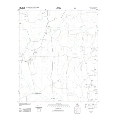
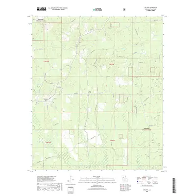
(21)- 1949 Map of Calvin SE
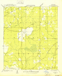 1949 Calvin SE1949 Print · USGSWinn Parish enters the post-war era as a timber and rail corridor deeply integrated with the Kisatchie National Forest. Genealogists can trace rural community life through the Kimbrell Cem, Couley Ch, and the long-lost Emden Sch.
 - 1950 Map of Winnfield, 1960 Print
 1950 Winnfield1960 Print · USGSNorth-central Louisiana centers on the timber and rail hub of Winnfield in the years following World War II. Genealogists and local historians can trace rural roots through landmarks like Sardis Ch, Crockett Cem, and the old rail siding at Carla.3 unique versions available
 - 1951 Map of Winnfield
 1951 Winnfield1951 Print · USGSMid-century Winn Parish is a landscape of timber and transit, where major rail lines intersect in the piney woods. Genealogists can locate family sites like McCarty Sch No 1, Morning Star Cem, and the small settlement at Tannehill.2 unique versions available
 - 1953 Map of Alexandria, 1963 Print
 1953 Alexandria1963 Print · USGSCentral Louisiana during the early fifties is mapped here at the intersection of the piney woods and the Red River valley. Genealogists and historians can trace the rail-and-river network connecting towns like Alexandria, Natchitoches, and the grounds of Camp Beauregard.3 unique versions available
 - 1955 Map of Alexandria
 1955 Alexandria1955 Print · USGSCentral Louisiana in the mid-fifties is a landscape of river-port cities, sprawling timberlands, and massive military reservations. Genealogists and historians can trace the rail networks of the Texas & Pacific RR and locate sites like Camp Polk Military Reservation and Natchitoches.
 - 1955 Map of Calvin, 1956 Print
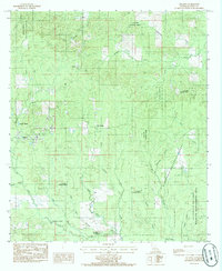
 1955 Calvin1956 Print · USGSAcross the bayous and timberlands of Winn and Natchitoches Parishes in the mid-fifties, rural life was defined by the Kisatchie National Forest. Trace family roots through local landmarks like Bethlehem Ch, Emden Sch, and the Kansas City Southern rail line near St Maurice.3 unique versions available
 - 1983 Map of Coochie Brake
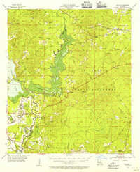
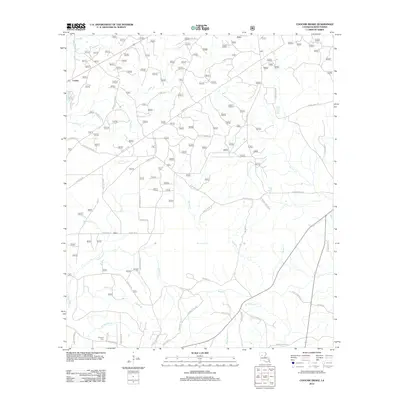
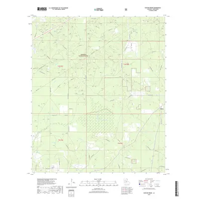
 1983 Coochie Brake1983 Print · USGSCentral Winn Parish in the 1980s and early 1990s reveals a landscape of dense pine woods and wetland basins. Researchers can trace rural landmarks like Kimbrell Cem, Double Ch, and the extensive swamp waters of Coochie Brake.2 unique versions available
 - 1984 Map of Atlanta, 1985 Print
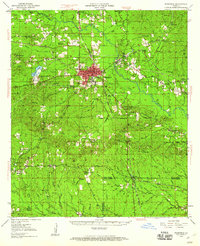
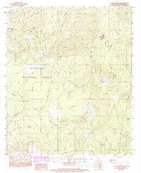
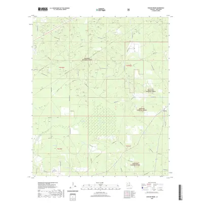
 1984 Atlanta1985 Print · USGSWinn Parish at the peak of the 1980s reveals a landscape shaped by timber and water within the Kisatchie National Forest. Genealogists and historians can trace old community hubs like Atlanta, Sardis, and historic stream fords at Beal Crossing.
 - 1986 Map of Winnfield
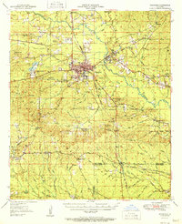
 1986 Winnfield1986 Print · USGSCentral Louisiana in the mid-1980s was a landscape of timber towns and rail junctions woven through the Kisatchie National Forest. Researchers can trace the legacy of the lumber and rail eras through settlements like Good Pine, Packton, and Zenoria.2 unique versions available
 - 2003 Map of Atlanta, 2005 Print
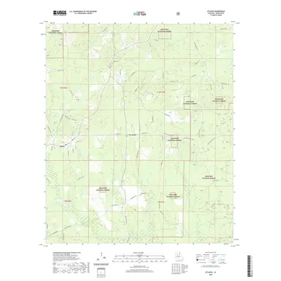
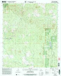 2003 Atlanta2005 Print · USGSThe community of Atlanta and its surrounding timberlands are documented here at the start of the twenty-first century. Genealogists and researchers can locate family landmarks at Worsham Crossing, Sardis, and Beal Crossing within the Kisatchie National Forest.
 - 2003 Map of Coochie Brake, 2005 Print
 2003 Coochie Brake2005 Print · USGSWinn Parish at the turn of the millennium shows a landscape of timbered forest and lowland swamps. Trace local family history through Bethlehem Ch and Kimbrell Cem, or explore the hydrology of Coochie Brake.
 - 2012 Map of Atlanta, 2012 Print
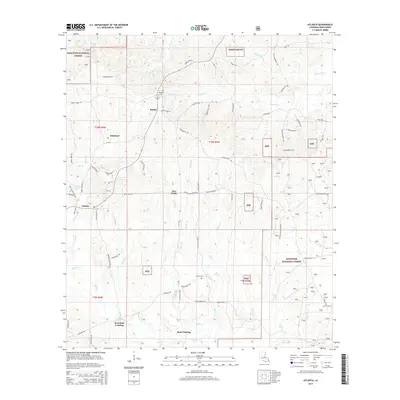
 2012 Atlanta2012 Print · USGSCovers Atlanta, including Sardis, Worsham Crossing, and other nearby areas
 - 2012 Map of Coochie Brake, 2012 Print
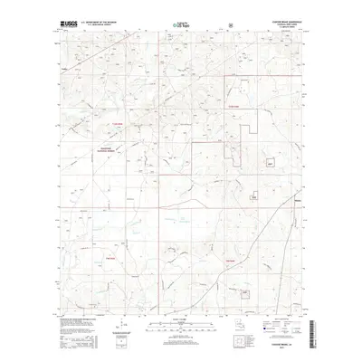
 2012 Coochie Brake2012 Print · USGSCovers Atlanta, including Couley, Winn Parish, and other nearby areas
 - 2015 Map of Coochie Brake, 2015 Print
 2015 Coochie Brake2015 Print · USGSCovers Atlanta, including Couley, Winn Parish, and other nearby areas
 - 2015 Map of Atlanta, 2015 Print
 2015 Atlanta2015 Print · USGSCovers Atlanta, including Sardis, Worsham Crossing, and other nearby areas
 - 2018 Map of Coochie Brake, 2018 Print
 2018 Coochie Brake2018 Print · USGSCovers Atlanta, including Couley, Winn Parish, and other nearby areas
 - 2018 Map of Atlanta, 2018 Print
 2018 Atlanta2018 Print · USGSCovers Atlanta, including Sardis, Worsham Crossing, and other nearby areas
 - 2020 Map of Atlanta, 2020 Print
 2020 Atlanta2020 Print · USGSCovers Atlanta, including Sardis, Worsham Crossing, and other nearby areas
 - 2020 Map of Coochie Brake, 2020 Print
 2020 Coochie Brake2020 Print · USGSCovers Atlanta, including Couley, Winn Parish, and other nearby areas
 - 2024 Map of Coochie Brake, 2024 Print
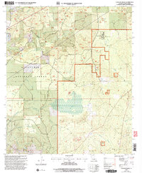
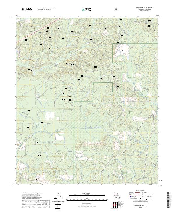 2024 Coochie Brake2024 Print · USGSWinn Parish in the early twenty-first century is defined by its deep woods and the wetlands of the Coochie Brake. Researchers can trace old family sites near Kimbrell Cem or follow the paths of Nantachie Creek and Mars Hill Creek through the Kisatchie National Forest.
 - 2024 Map of Atlanta, 2024 Print
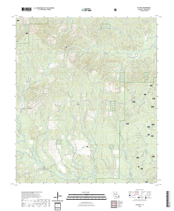 2024 Atlanta2024 Print · USGSLouisiana's Winn Parish is seen here in the modern era, where the town of Atlanta sits amidst the sprawling pine woods. Researchers can trace rural lineages through sites like Swindelly Cem or follow the winding courses of Sulphur Creek and Hill Bayou.
End of results
Showing maps 1-21 of 21
Top cities near Atlanta
- Winnfield historical maps
- Montgomery historical maps
- Dry Prong historical maps
- Goldonna historical maps
- Calvin historical maps
Frequently asked questions
- What are the different types of historical maps available for Atlanta?
- What is the oldest map of Atlanta?
- Where can I purchase historical maps of Atlanta for my home or office?
- Where can I download high-res historical maps of Atlanta?
- Are there historical topographic maps available for Atlanta?
- Is there historical aerial imagery available for Atlanta?
- Where are historical maps of Atlanta sourced from?