2000s (21st Century) Maps of Oxford County, Maine
Explore 318 historic maps of Oxford County from the 2000s (21st Century). These maps offer a rare glimpse into what life looked like during the 2000s — showing old roads, neighborhoods, homes, and landmarks that have changed or disappeared over time.
Whether you're researching your family's past, planning a metal detecting trip, or studying how Oxford County's landscape evolved across the 2000s, these high-resolution maps are a powerful tool for exploring the history of this region.
- Focus on a specific era: All maps on this page are from the 2000s, giving you a focused view of this time period.
- See what’s changed: Compare century-old streets, trails, and buildings to today's modern landscape using overlays and satellite layers.
- Research with precision: Use these maps for genealogy, historical research, land use analysis, or educational projects.
- View, download, or print: Maps are fully viewable online in high resolution, and can be downloaded or printed for your own records.
Start exploring Oxford County's history through authentic maps from the 2000s. This is your window into the past.
Oxford County, ME maps
(318)- 2000 Map of Bridgton, 2001 Print
 2000 Bridgton2001 Print · USGSThe Bridgton and Harrison area at the start of the new millennium is defined by its iconic lakes and deep-rooted summer camp culture. Researchers can locate numerous family burial sites like Finnish Cem and Trafton Cem or trace the early development of Sandy Creek and North Bridgton.
 - 2000 Map of Norway, 2001 Print
 2000 Norway2001 Print · USGSOxford County at the turn of the millennium shows the enduring connection between New England towns and their waterways. Researchers can locate family landmarks like Otisfield Gore Cem, trace the banks of the Crooked River, or find old school sites like Fox Sch.
 - 2000 Map of Old Speck Mountain, 2001 Print
 2000 Old Speck Mountain2001 Print · USGSOxford County at the turn of the millennium is captured here in this survey of the northern Mahoosucs. Hikers and historians can trace the Appalachian Trail through Grafton Notch State Park to landmarks like Screw Auger Falls and the remote outpost at Ketchum.
 - 2011 Map of Kezar Falls, 2011 Print
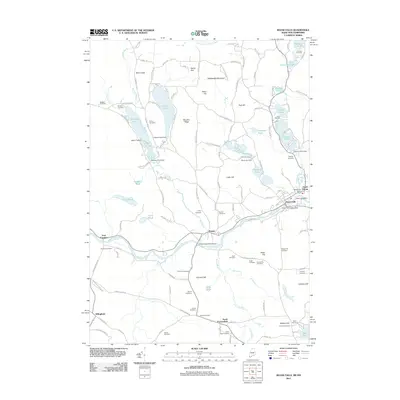 2011 Kezar Falls2011 Print · USGSCovers Oxford County, including Parsonsfield, Effingham, and other nearby areas
 - 2011 Map of Cornish, 2011 Print
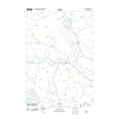 2011 Cornish2011 Print · USGSCovers Oxford County, including Limington, Limerick, and other nearby areas
 - 2011 Map of Bosebuck Mountain, 2011 Print
 2011 Bosebuck Mountain2011 Print · USGSCovers Oxford County, including Pittsburg, Lynchtown Township, and other nearby areas
 - 2011 Map of Hiram, 2011 Print
 2011 Hiram2011 Print · USGSCovers Oxford County, including Bridgton, Sebago, and other nearby areas
 - 2011 Map of Rump Mountain, 2011 Print
 2011 Rump Mountain2011 Print · USGSCovers Oxford County, including Pittsburg, Parmachenee Township, and other nearby areas
 - 2011 Map of Fryeburg, 2011 Print
 2011 Fryeburg2011 Print · USGSCovers Oxford County, including Conway, Fryeburg, and other nearby areas
 - 2011 Map of Mount Zircon, 2011 Print
 2011 Mount Zircon2011 Print · USGSCovers Oxford County, including Rumford, West Paris, and other nearby areas
 - 2011 Map of West Paris, 2011 Print
 2011 West Paris2011 Print · USGSCovers Oxford County, including Paris, Norway, and other nearby areas
 - 2011 Map of Bryant Pond, 2011 Print
 2011 Bryant Pond2011 Print · USGSCovers Oxford County, including Rumford, Bethel, and other nearby areas
 - 2011 Map of Worthley Pond, 2011 Print
 2011 Worthley Pond2011 Print · USGSCovers Oxford County, including Dixfield, Peru, and other nearby areas
 - 2011 Map of B Pond, 2011 Print
 2011 B Pond2011 Print · USGSCovers Oxford County, including Upton, C Surplus, and other nearby areas
 - 2011 Map of Metallak Mountain, 2011 Print
 2011 Metallak Mountain2011 Print · USGSCovers Oxford County, including Rangeley Plantation, South Arm, and other nearby areas
 - 2011 Map of Waterford Flat, 2011 Print
 2011 Waterford Flat2011 Print · USGSCovers Oxford County, including Bridgton, Norway, and other nearby areas
 - 2011 Map of Rumford, 2011 Print
 2011 Rumford2011 Print · USGSCovers Oxford County, including Rumford, Mexico, and other nearby areas
 - 2011 Map of Moose Bog, 2011 Print
 2011 Moose Bog2011 Print · USGSCovers Oxford County, including Pittsburg, Notre-Dame-des-Bois, and other nearby areas
 - 2011 Map of Old Speck Mountain, 2011 Print
 2011 Old Speck Mountain2011 Print · USGSCovers Oxford County, including Newry, Ketchum, and other nearby areas
 - 2011 Map of Oquossoc, 2011 Print
 2011 Oquossoc2011 Print · USGSCovers Oxford County, including Rangeley, Rangeley Plantation, and other nearby areas
 - 2011 Map of Andover, 2011 Print
 2011 Andover2011 Print · USGSCovers Oxford County, including Andover, Byron, and other nearby areas
 - 2011 Map of Puzzle Mountain, 2011 Print
 2011 Puzzle Mountain2011 Print · USGSCovers Oxford County, including Andover, Newry, and other nearby areas
 - 2011 Map of Casco, 2011 Print
 2011 Casco2011 Print · USGSCovers Oxford County, including Oxford, Naples, and other nearby areas
 - 2011 Map of Ellis Pond, 2011 Print
 2011 Ellis Pond2011 Print · USGSCovers Oxford County, including Andover, Roxbury, and other nearby areas
 - 2011 Map of Jackson Mountain, 2011 Print
 2011 Jackson Mountain2011 Print · USGSCovers Oxford County, including Rangeley Plantation, Madrid Township, and other nearby areas
Showing maps 1-25 of 318
Top cities of Oxford County
- Paris historical maps
- Norway historical maps
- Rumford historical maps
- Oxford historical maps
- Fryeburg historical maps
- Mexico historical maps
See more
Frequently asked questions
- What are the different types of historical maps available for Oxford County?
- What is the oldest map of Oxford County?
- Where can I purchase historical maps of Oxford County for my home or office?
- Where can I download high-res historical maps of Oxford County?
- Are there historical topographic maps available for Oxford County?
- Is there historical aerial imagery available for Oxford County?
- Where are historical maps of Oxford County sourced from?